
The planning area has an area of 1,049,701m2 , determined according to the zoning map of Protection Area 1 and Protection Area 2 of the Ngu Hanh Son National Special Scenic Site.
The planning boundary to the east borders Truong Sa Street and coastal resorts, to the west and south borders Co Co River and existing residential areas, to the north borders Pham Huu Nhat Street and Hoa Hai 2 resettlement area.

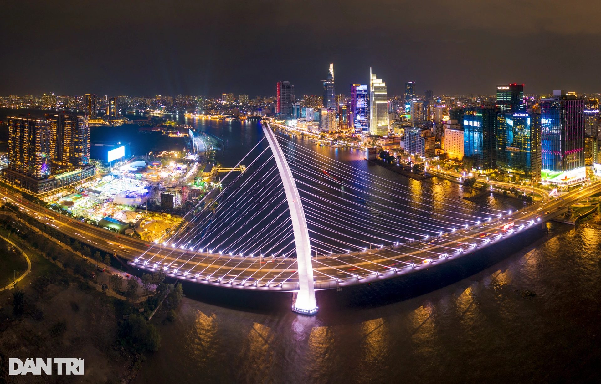
Scenic planning area from Co Co River to the sea
The planning objective is to manage and protect Ngu Hanh Son landscape in harmony with the requirements of socio-economic development, tourism services, research, and preservation of tangible and intangible cultural heritage, creating conditions, mechanisms, and resources to attract and encourage investment in sustainable development in the area, promoting the value of the landscape to become a cultural space, festivals combined with unique entertainment spots of Da Nang City, creating a chain of tourism products on the "Central Heritage Road" tourism journey.
In the structure of the scenic spot, there are functional areas such as public areas (Management Board, exhibition house, stage, park, community area), tourism - service areas (square, cuisine, accommodation), green space, water surface creating a landscape buffer zone between the original relic area and new constructions, the southern sculpture garden space and the northern thematic park (Thuy Son mountain), Vietnam - Japan Friendship Exchange Center, outdoor space for organizing cultural events, festivals of local residents, memorial temple for martyrs and heroic Vietnamese mothers (near Moc Son mountain)...

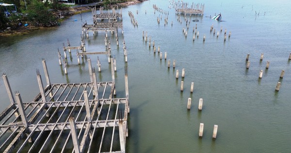
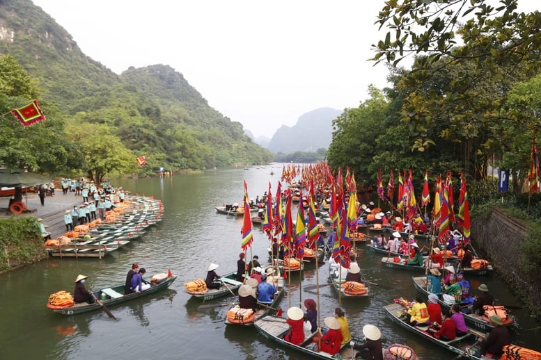
Co Co River through Ngu Hanh Son
The planning also includes research and proposals for placing the sign "Ngu Hanh Son Scenic Area" in a suitable location on Thuy Son peak.
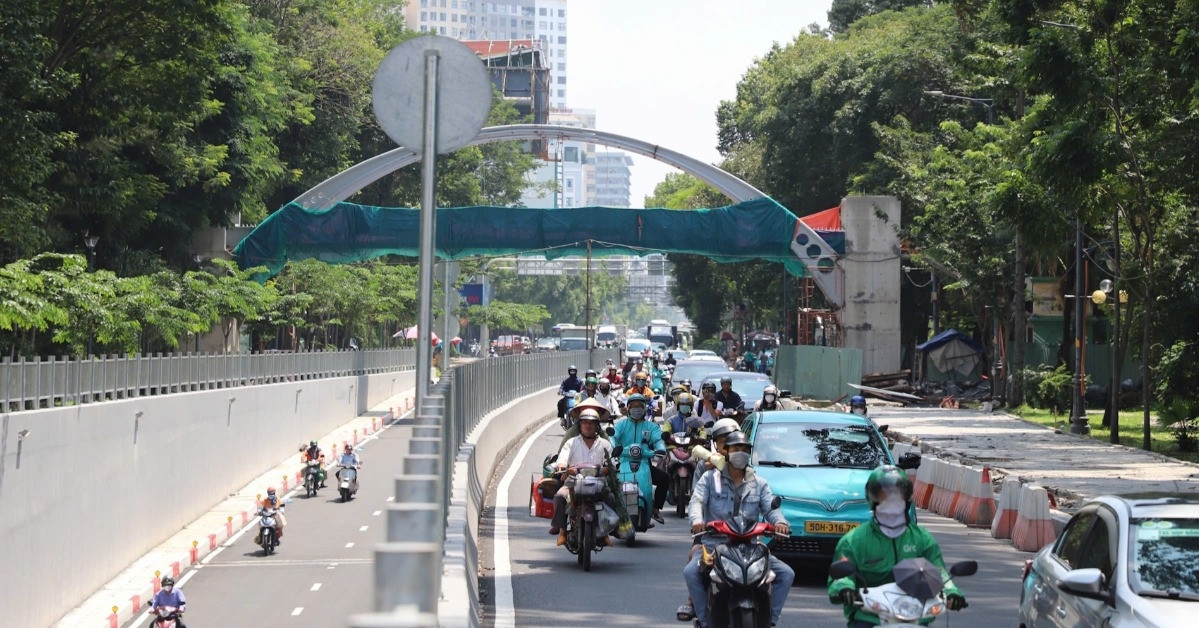
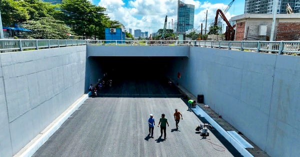
Especially the traffic connection of functional spaces in the planning area, with the renovation and improvement of existing traffic routes and the formation of a number of internal traffic routes, research and investment in the construction of 2 underpasses through Le Van Hien Street connecting the east-west festival axis and 1 underpass through Truong Sa Street serving pedestrians, connecting with the space towards the East Sea.
Source link


Comment (0)