
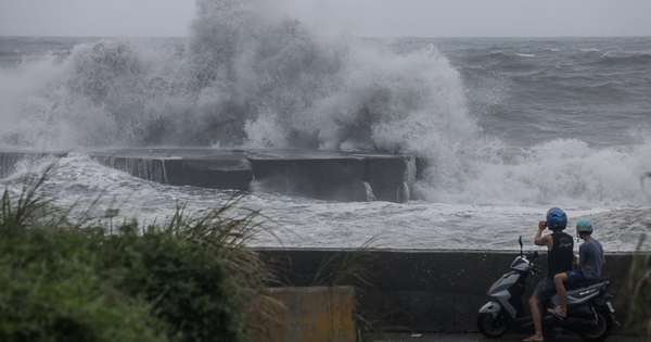
According to the forecast of the China Central Meteorological Station, tropical storm Khanun has developed into a strong storm. At around 5:00 a.m. on July 31, local time, the wind speed near the center of the storm reached 40m/s, or level 13.
The storm is expected to move northwest at 20km/h and enter the East China Sea while continuing to strengthen.
 |
| Satellite image of Typhoon Khanun. Photo: Cira |
This is the sixth storm this year in the country and is likely to make landfall in coastal areas of Zhejiang province, eastern China, from the afternoon to the night of August 2 with strong intensity, even as a super typhoon with winds of level 14-16.
On the morning of July 31, the China Central Meteorological Station continued to issue a red heavy rain warning, the most serious of the four levels according to color, because the northern region of the country continued to experience heavy rain due to the impact of storm Doksuri, causing serious flooding in some places.
According to VOV
Please visit the International section to see related news and articles.
Source


Comment (0)