
Typhoon Man-yi has entered the East Sea, becoming the ninth typhoon this year. Due to interaction with cold air, the storm has weakened to level 11-12 and continues to weaken over the central central sea.
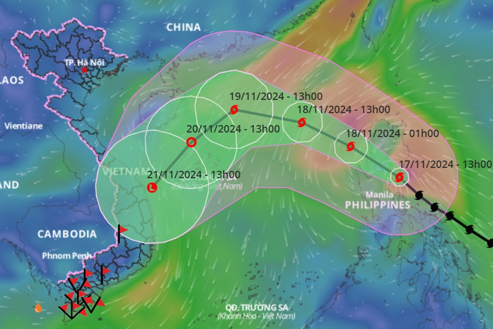
According to the National Center for Hydro-Meteorological Forecasting, as of 4:00 a.m. this morning (November 18), the center of storm No. 9 Man-yi was located in the eastern sea of the North East Sea. The strongest wind near the center of the storm was level 11-12 (103-133 km/h), gusting to level 15. Moving northwest at a speed of about 25 km/h.
In the next 24 hours, the storm will change direction to move West Northwest, speed 20km/h and continue to weaken due to interaction with cold air.

At 4am tomorrow morning (November 19), the center of storm No. 9 is located in the North East Sea, about 370km northeast of Hoang Sa archipelago, the storm is currently at level 10, gusting to level 12.
During the next 24 to 48 hours, the storm will move west-southwest, then change direction to southwest and continue to weaken further.
At 4:00 a.m. on November 20, the center of storm No. 9 was in the west of the North East Sea, about 210 km northwest of Hoang Sa archipelago; the storm intensity was currently level 8 (62-74 km/h), gusting to level 10.
In the next 24 hours, the storm continued to move southwest at about 10km/h, gradually weakening into a tropical depression, then a low pressure area. At 4am on November 21, the center of the low pressure was over the sea off the Central Central region.
Due to the influence of storm No. 9 Man-yi, the weather in the eastern sea area of the North East Sea has strong winds of level 8-9, near the storm's eye level 10-12, gusting to level 15, waves 3-5m high, near the storm's eye 5-7m; rough seas.
Ships operating in the above mentioned dangerous areas are susceptible to the effects of storms, whirlwinds, strong winds and large waves.
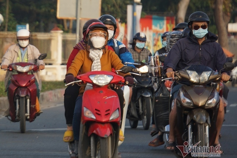
New cold air mass affects HCMC weather the most since the beginning of the season
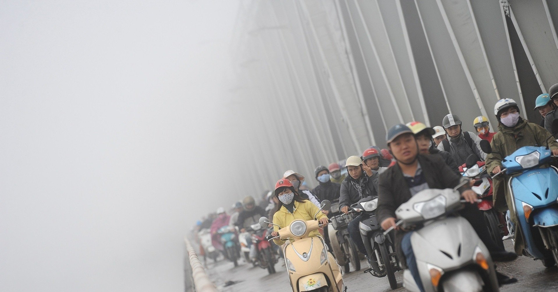
Super typhoon Man-yi may enter the East Sea on November 18, downgraded by 4 levels
Source: https://vietnamnet.vn/bao-so-9-hinh-thanh-gap-khong-khi-lanh-suy-yeu-tren-bien-trung-trung-bo-2342963.html


Comment (0)