
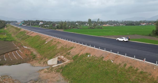
(Dan Tri) - After heavy rains, many roads in the mountainous district of An Lao (Binh Dinh) experienced landslides, flooding, and traffic disruption.
On the afternoon of November 24, Mr. Do Tung Lam, Vice Chairman of the People's Committee of An Lao District (Binh Dinh Province) said that prolonged heavy rains had caused flooding and landslides on a number of roads in the district. However, the situation is still under control.
According to Mr. Lam, 5 households were affected by the landslide but there was no damage to their houses or property. Some households at high risk of landslides behind their houses were evacuated to a safe place.

Local authorities have mobilized machinery and equipment to fix landslides on the roads, and are expected to clear the roads in the next 1-2 days.
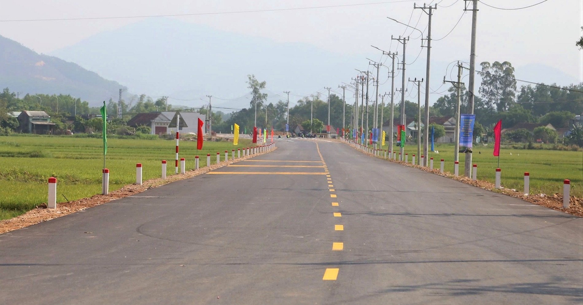
Heavy rain also caused traffic disruption on Highway 629 from Hoai An district to An Lao.
As of 4 p.m. the same day, An Lao district recorded landslides in 8 areas with a total volume of landslides of more than 1,500 cubic meters and 14 flooded locations, stretching about 600 meters. The disaster prevention and control force is actively working to overcome the situation.

According to the Standing Office of the Steering Committee for Natural Disaster Prevention, Control and Search and Rescue of Binh Dinh Province, from November 22 to 24, the province experienced widespread heavy rain with an average rainfall of 145mm. Heavy rain caused flooding in the upper reaches of the Kon and An Lao rivers, with water levels peaking and slowly decreasing.
To cope with heavy rain, the Department of Agriculture and Rural Development of Binh Dinh province has directed the regulation of water in Dong Mit and Dinh Binh lakes. The water level of Dinh Binh lake is currently at +92.67, with a capacity of more than 235 million m3, reaching 104% of the design capacity.

The Department of Agriculture and Rural Development of Binh Dinh province is proposing to increase flood discharge to reduce the water level in the lake to a safe level.
This unit also requested Vinh Thanh, Tay Son, Tuy Phuoc, Phu Cat districts and An Nhon town to promptly notify people to proactively respond to the flood situation.
Source: https://dantri.com.vn/xa-hoi/ngap-lut-sat-lo-gay-chia-cat-huyen-mien-nui-o-binh-dinh-20241124213356092.htm

![[Photo] Closing of the 11th Conference of the 13th Central Committee of the Communist Party of Vietnam](https://vstatic.vietnam.vn/vietnam/resource/IMAGE/2025/4/12/114b57fe6e9b4814a5ddfacf6dfe5b7f)


![[Photo] Overcoming all difficulties, speeding up construction progress of Hoa Binh Hydropower Plant Expansion Project](https://vstatic.vietnam.vn/vietnam/resource/IMAGE/2025/4/12/bff04b551e98484c84d74c8faa3526e0)


Comment (0)