
1. Which two provinces were merged into Hai Hung?
- Hung Yen and Ha Nam0%
- Hai Duong and Hung Yen0%
- Hai Phong and Hai Duong0%
- Ha Nam and Nam Dinh0%
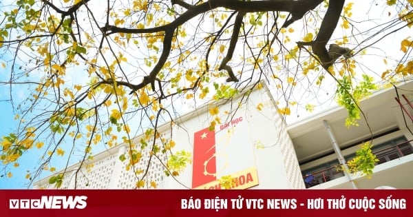
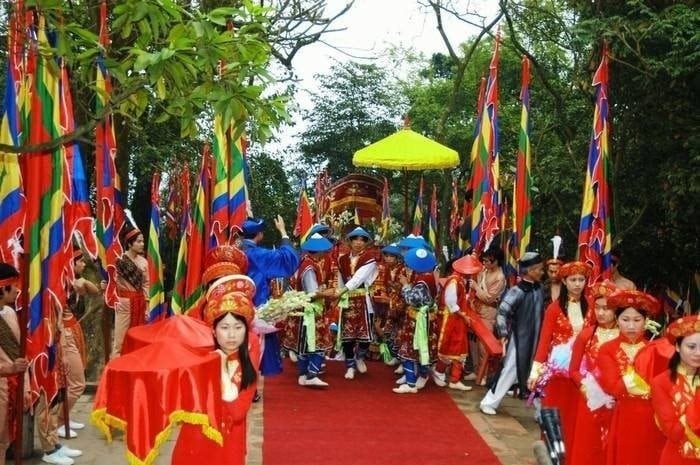
Hai Hung is a former province of the Red River Delta, established in January 1968 on the basis of merging Hung Yen and Hai Duong provinces.
According to the book History of Hai Duong Province (Volume IV), the merged province at that time had an area of 2,526 km2, accounting for 21.7% of the area of the Northern Delta. Hai Hung Province, to the east borders Hai Phong City and Quang Ninh; to the west borders Hanoi Capital and Ha Nam Province; to the north borders Ha Bac Province and to the south borders Thai Binh Province.
When merged, the province had 20 districts and 2 towns, including An Thi, Binh Giang, Cam Giang, Chi Linh, Gia Loc, Khoai Chau, Kim Dong, Kim Thanh, Kinh Mon, My Hao, Nam Sach, Ninh Giang, Phu Cu, Thanh Ha, Thanh Mien, Tien Lu, Tu Ky, Van Giang, Van Lam, Yen My districts and Hai Duong and Hung Yen towns. The whole province had 407 communes and 5 towns. The population at that time was 1,630,000 people.
2. How many years did Hai Hung exist before it split into two provinces?
- 20 years0%
- 25 years0%
- 29 years0%
- 35 years0%
According to Hai Duong Newspaper , after 29 years of unification, to meet the situation and tasks of socio-economic development in the new period, on November 6, 1996, the 9th National Assembly decided to separate and adjust the administrative boundaries of a number of provinces, including separating Hai Hung into 2 provinces of Hai Duong and Hung Yen.
Implementing the direction of the National Assembly and the Politburo, on November 25, 1996, the Executive Committee of the Party Committee of Hai Hung province, term VII, issued a Resolution stating: "The separation of the province is in accordance with the laws of the State and the principles of the Party. It must be implemented quickly and neatly, striving that by January 1997, the two provinces will work under the new administrative unit."
The process of splitting the provinces took place as above. The two provinces of Hai Duong and Hung Yen were re-established in early 1997.
3. Hung Yen has no sea, forest and mountains?
- Correct0%
- Wrong0%
According to the Hung Yen Provincial Electronic Information Portal, Hung Yen is located in the center of the Northern Delta, in the Northern Key Economic Zone. This is a plain province without forests, mountains and seas. Hung Yen currently consists of 10 districts, towns and cities with 161 communes, wards and towns.
Hung Yen has a flat terrain, bordering Bac Ninh province to the north, Hanoi city to the northwest, Hai Duong province to the east, Thai Binh province to the south, and Ha Nam province to the southwest. The total natural area is 930.2 km2, accounting for 6.2% of the Northern Delta area.
4. Does Hai Duong province have a sea?
- Have0%
- Are not0%
Geographically, Hai Duong province has no coastal areas. The province is located on two international trade corridors, close to the Northern coastal economic belt, so transportation is convenient. Hai Duong is also considered the food granary of the North with a cultivated area of over 100,000 hectares, of which more than half is used for rice cultivation.
5. What does the name Hai Duong mean?
- Direct sunlight0%
- Sea and sky0%
- East Sea Sunlight0%
- Light of the Sea0%
According to the Hai Duong Province Electronic Information Portal, the name "Hai Duong" officially appeared in 1469. In terms of Chinese characters, Hai means sea, Duong means light, sunlight. Therefore, Hai Duong means sunlight from the East Sea. In addition to this meaning, Hai Duong can also be understood as light from the coastal region (East), because Hai Duong is located to the East of Thang Long citadel.
![[Photo] Prime Minister Pham Minh Chinh meets with the Ministry of Education and Training; Ministry of Health on the draft project to be submitted to the Politburo](https://vstatic.vietnam.vn/vietnam/resource/IMAGE/2025/3/25/c0e5c7348ced423db06166df08ffbe54)

![[Photo] Head of the Central Propaganda and Mass Mobilization Commission Nguyen Trong Nghia received the delegation of Nhan Dan Daily](https://vstatic.vietnam.vn/vietnam/resource/IMAGE/2025/3/25/cdb71275aa7542b082ec36b3819cfb5c)
![[Photo] Nhan Dan Newspaper Youth Union visits Vietnam Military History Museum](https://vstatic.vietnam.vn/vietnam/resource/IMAGE/2025/3/25/374e4f70a35146928ecd4a5293b25af0)


![[Photo] General Secretary To Lam chairs the Standing Meeting of the Central Steering Committee on preventing and combating corruption, waste and negativity](https://vstatic.vietnam.vn/vietnam/resource/IMAGE/2025/3/25/839ea9ed0cd8400a8ba1c1ce0728b2be)


Comment (0)