
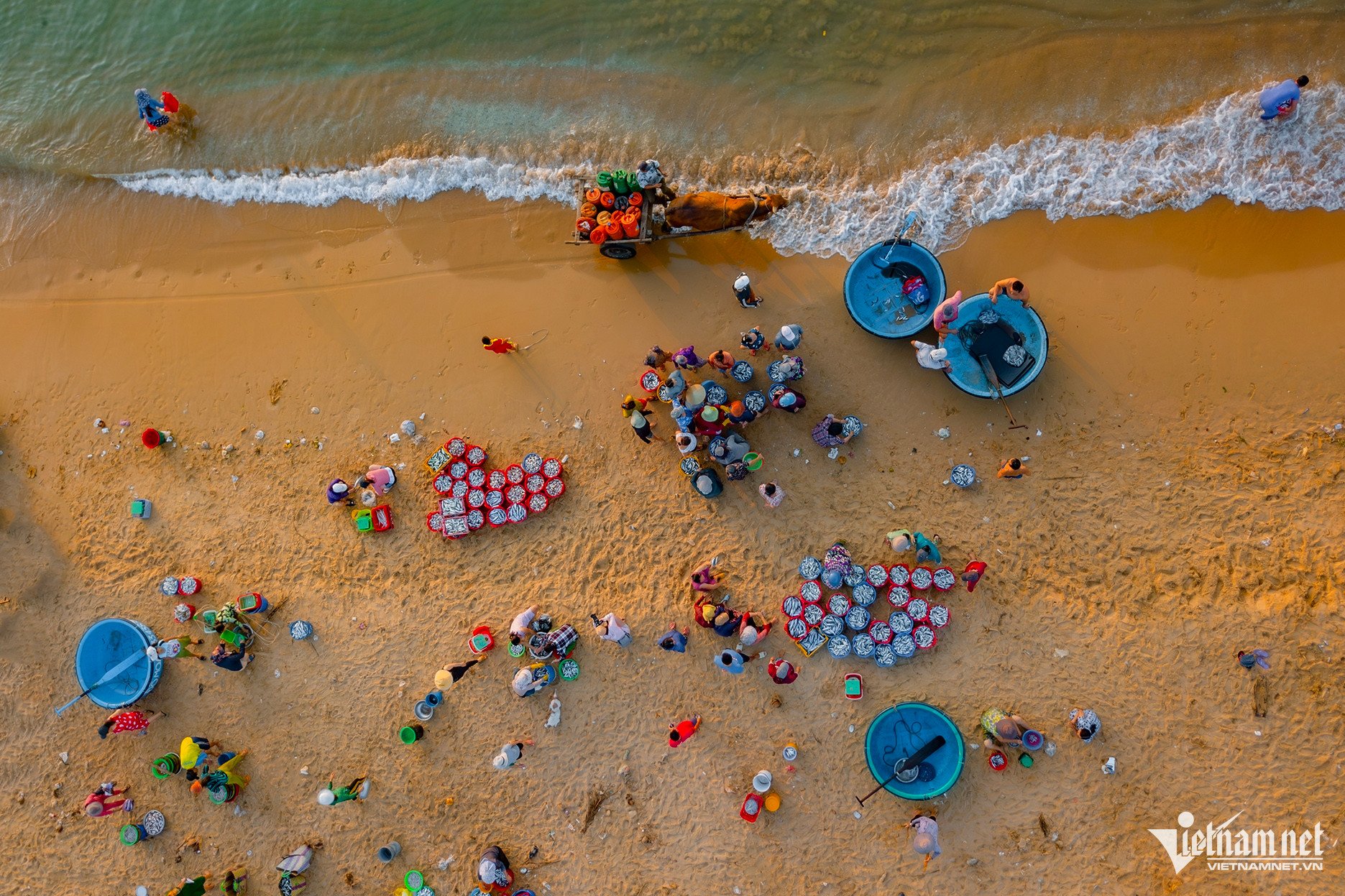
Van Hoa is located at an average altitude of about 400 meters above sea level. With a higher terrain than most other areas of Phu Yen province, Van Hoa has a cool climate, an average temperature of 24 degrees Celsius, and weather similar to that of highland areas.

A corner of Van Hoa plateau
This plateau stretches across 3 communes of Son Hoa district, the west of Phu Yen borders Gia Lai province. The southeast area of Van Hoa slopes gently down to Tuy An district towards the sea.

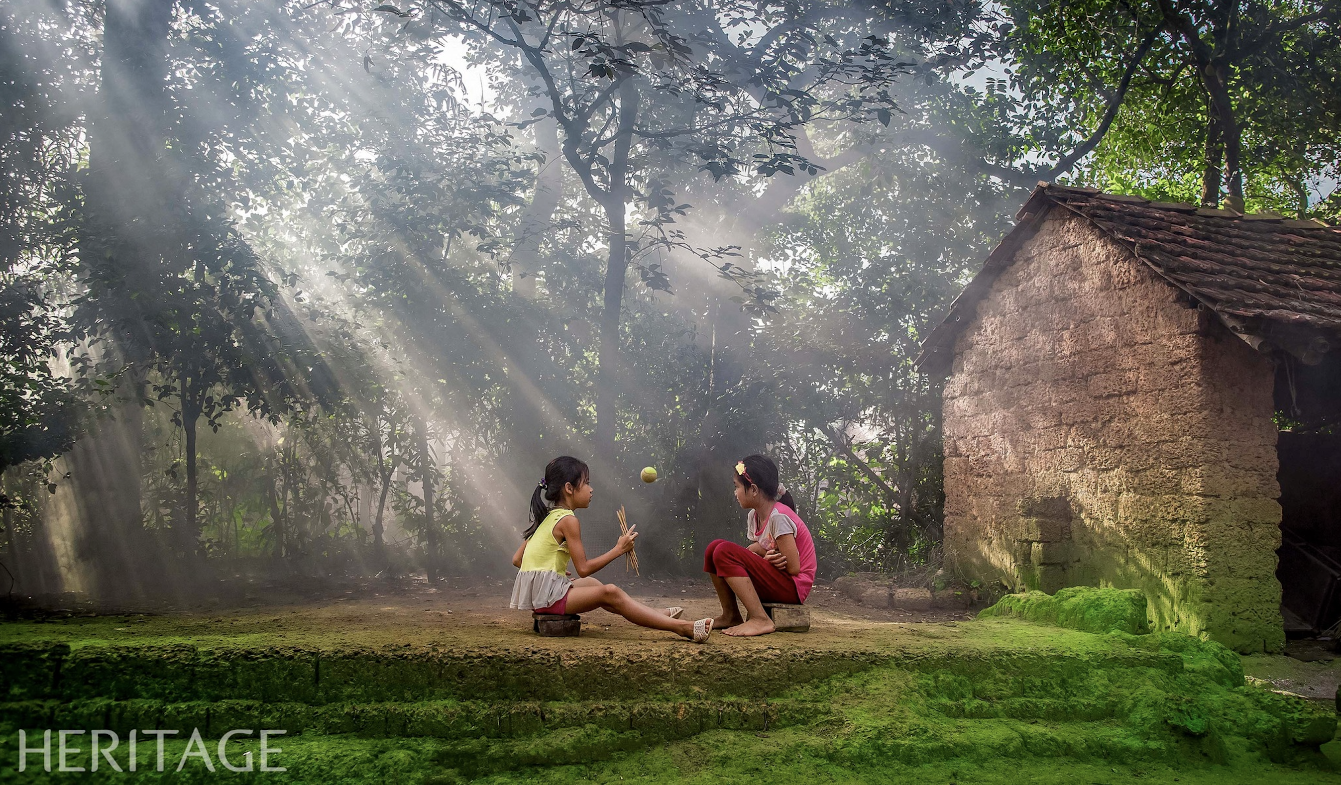
Peaceful misty space
Phu Yen has some mountainous areas, such as Dong Xuan and Song Hinh districts with cold and rainy months at the end of the year. However, Van Hoa has the most highland-like climate, large area, many interesting destinations, and beautiful scenery.

The road across the plateau
There are several main roads to Van Hoa. From Tuy Hoa City, follow National Highway 1 north, meet Hoa Da intersection in An My Commune, Tuy An District, then turn left onto DT643 and go uphill. If from Quy Nhon City (Binh Dinh), go south along National Highway 19C and you will also meet DT643 crossing this plateau.

Tourists visit Uncle Ho's church
The destination that many tourists stop by is Uncle Ho's church, located right on the main street, on a 0.5 hectare campus. Uncle Ho's church was ranked as a national monument in 2008, restored from the construction in 1969.

In the garden of zinnias
There are also many other interesting places to visit such as the Ede village, Don market, Tra Ke church, Song Ba Ha hydropower plant... In addition, there are some check-in points with gardens, flowers, and miniature landscapes created by local people to serve tourists.

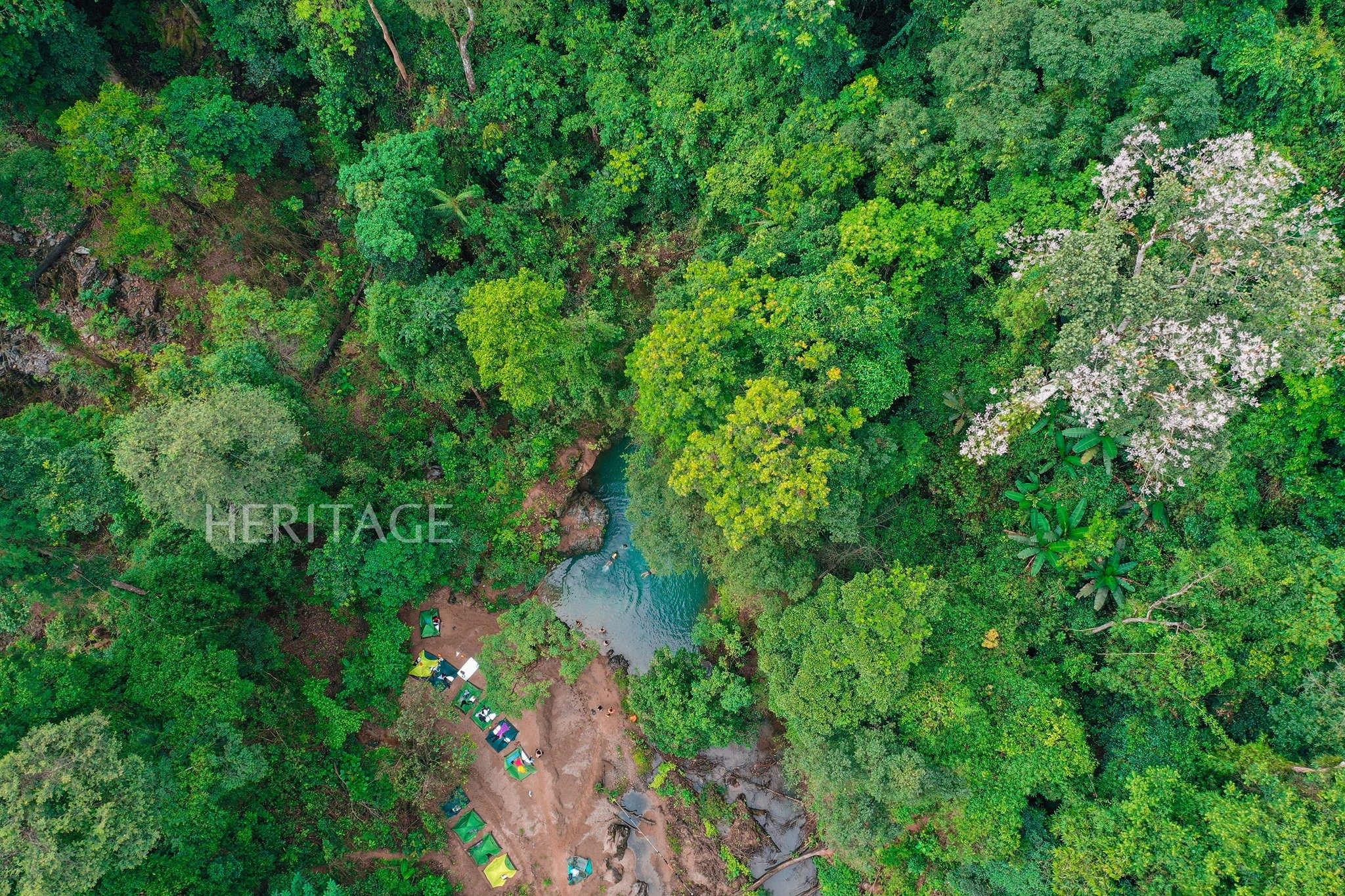
The houses in the valley
The most common landscapes in this land are hills, grassy slopes, and endless green forests. Here and there, residential areas with dozens of houses clustered in narrow, winding valleys nestled between mountains, fields, and streams appear.

Long Van Lake
Van Hoa Center has two large lakes, Van Hoa and Long Van. These are depressions on the surface of the plain, accumulating water over time, believed to be remnants of ancient volcanic eruptions.

People's cassava fields
Along the road, along the forest edge or next to the lake are fields of cassava, sugarcane, corn, pepper, etc. of local people. In the photo is a cassava field next to the main inter-commune road. On the red basalt soil, food crops grow quite well.

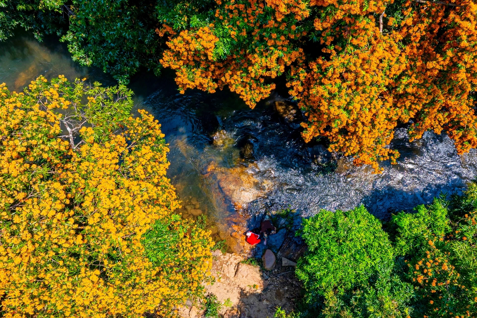
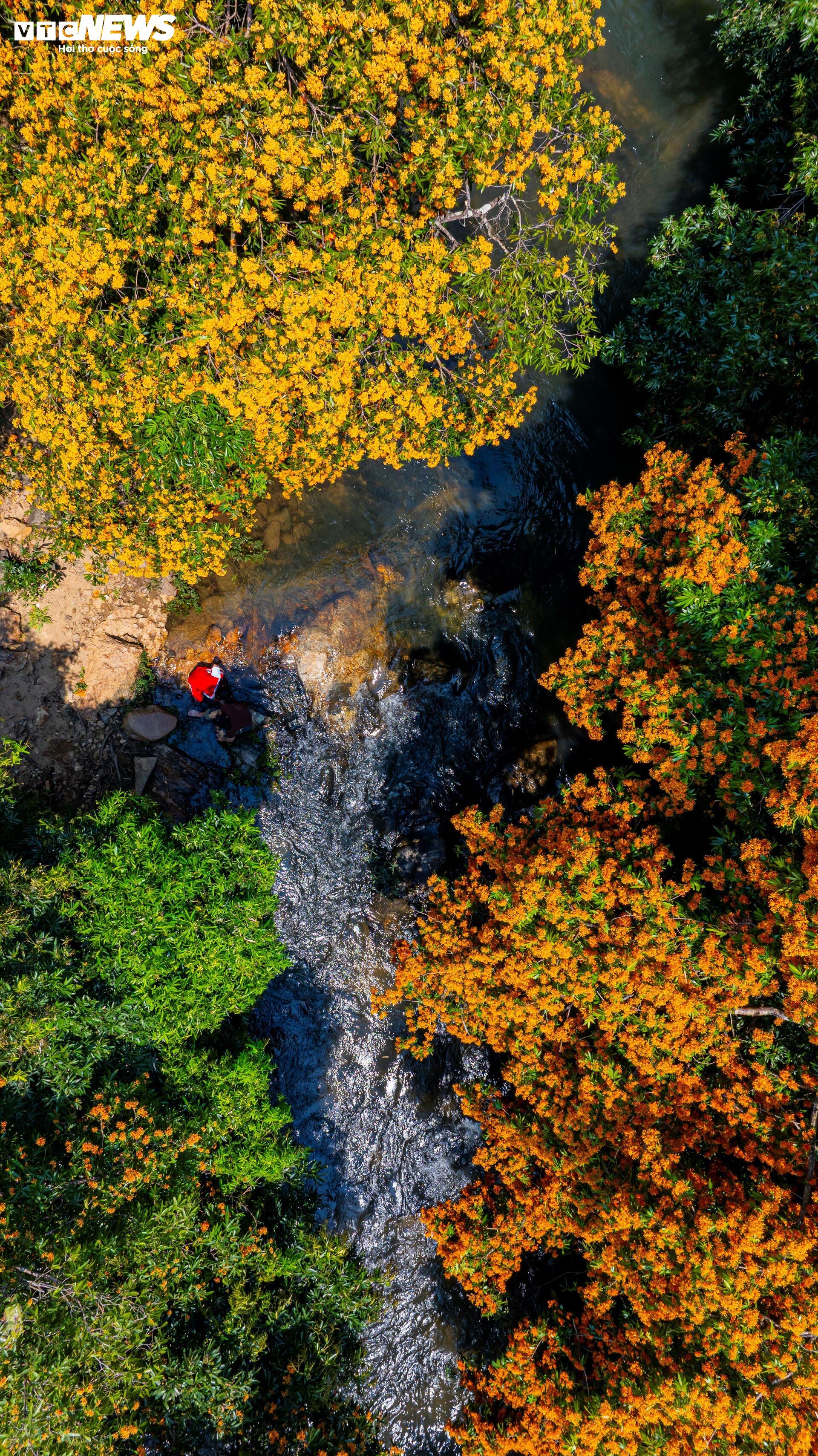
Wildflowers by the roadside
From July to September, the weather here is very nice, cool, not as hot as summer days or wet with storms at the end of the year. It is sunny, but the air is mild and pleasant. Flowers planted in the garden, wild flowers on the road compete to bloom.

Herd of cows walking on a deserted road
The highlands have provincial roads connecting the districts, and National Highway 19C connecting the coastal provinces with the Central Highlands, but most vehicles travel at night, and there are very few vehicles during the day. The sight of a herd of cows slowly crossing National Highway 19C to return to their barns as in the photo is not uncommon during the quiet times in the Van Hoa highlands.
Thanhnien.vn
Source: https://thanhnien.vn/mien-cao-nguyen-mat-lanh-giua-phu-yen-185240827112058347.htm


Comment (0)