
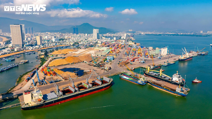
(TN&MT) - "Over the past 65 years, the Vietnam Surveying and Mapping sector has built up a volume of information and data on surveying and mapping that is complete, accurate and timely. This is an important source of data serving basic surveys, territorial management, socio-economic development, natural disaster prevention, climate change response, ensuring national defense and security and improving the intellectual level of society."
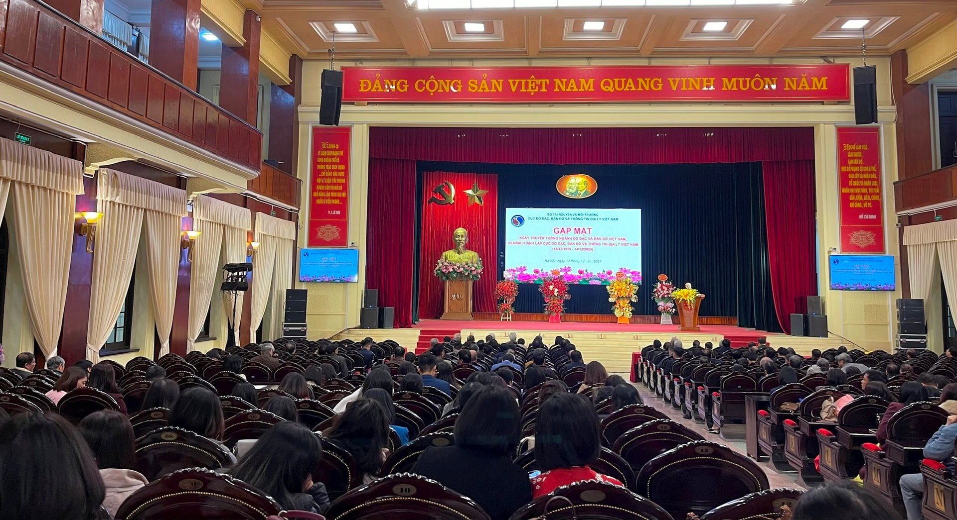
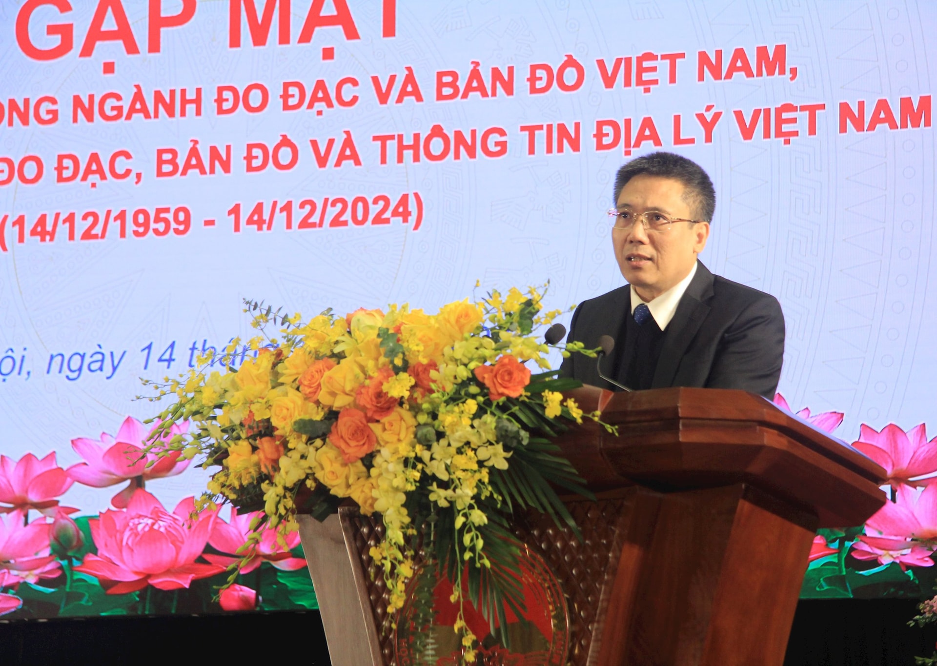
That was the affirmation of Deputy Minister of Natural Resources and Environment Nguyen Thi Phuong Hoa at the meeting on the occasion of the traditional day of Vietnam's Surveying and Mapping sector and the 65th anniversary of the establishment of the Department of Surveying, Mapping and Geographic Information of Vietnam, which took place on the morning of December 14 in Hanoi.
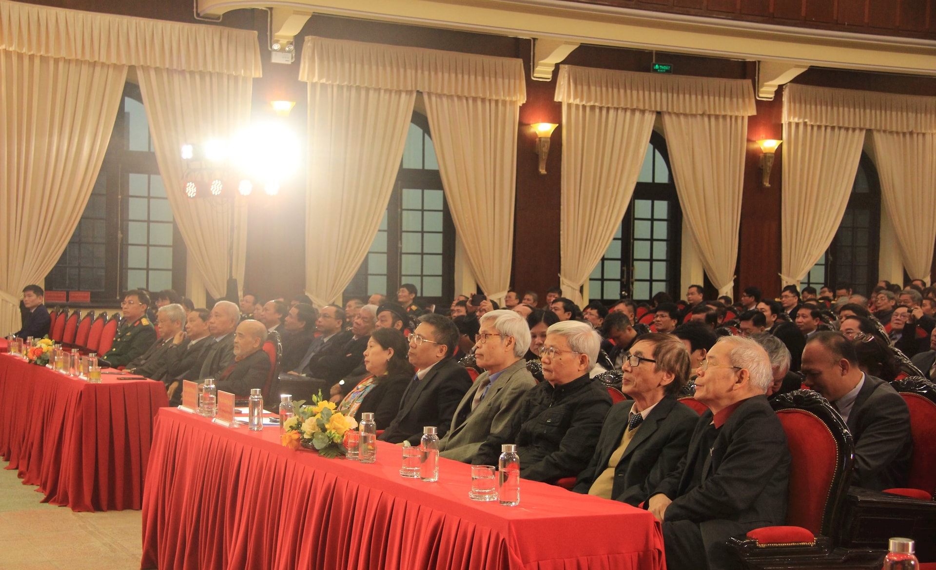
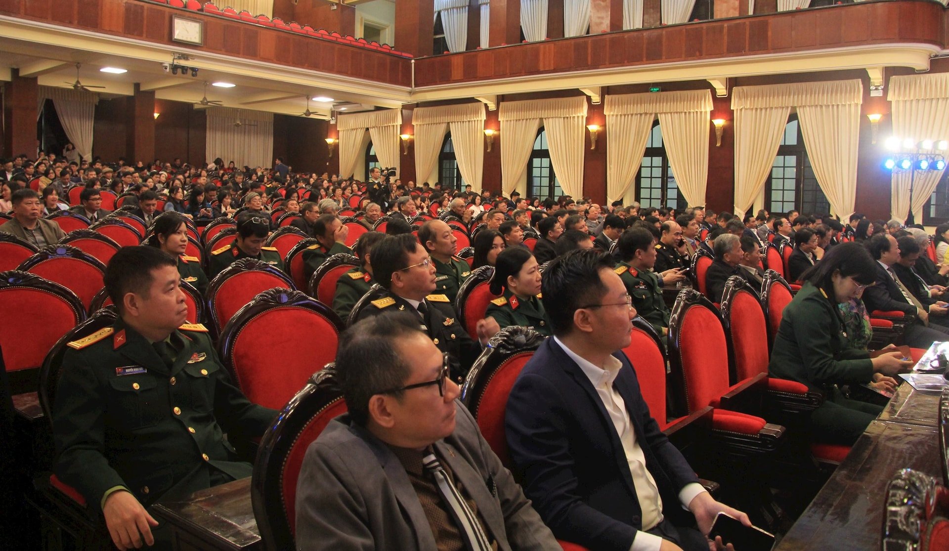
Attending the ceremony were Prof. Dr. Dang Hung Vo, former Deputy Minister of Natural Resources and Environment, Chairman of the Vietnam Association of Geodesy, Cartography and Remote Sensing; former Deputy Ministers of Natural Resources and Environment: Nguyen Van Duc, Nguyen Manh Hien; leaders and former leaders of the Vietnam Surveying and Mapping sector through the periods; representatives of leaders of ministries, branches and all civil servants, public employees and workers of the Vietnam Department of Surveying, Mapping and Geographic Information.
At the ceremony, reviewing the 65-year journey of establishment and development of the Vietnam Surveying and Mapping industry, Mr. Hoang Ngoc Lam, Director of the Vietnam Surveying, Mapping and Geographic Information Department, said that along with the development of the country's history, the surveying and mapping work of Vietnam with its long tradition has left many important marks and achievements. The map of Vietnam has been used as a tool to manage the country since 1490 during the Hong Duc period of the Le Dynasty. "Dai Nam Nhat Thong Toan Do" published by King Minh Mang of the Nguyen Dynasty in 1834 was the first map to show in relatively detail, fully the sovereignty and territorial integrity of our country at that time.
In particular, on December 14, 1959, the Prime Minister issued Decision No. 444-TTg establishing the Department of Surveying and Mapping under the Prime Minister's Office, officially forming the surveying and mapping agency of the revolutionary state of Vietnam. Since then, the Department of Surveying and Mapping has been reorganized many times but has always been assigned the task and played the role of the state management agency for surveying and mapping, organizing and implementing basic surveying and mapping work nationwide to meet all requirements of the cause of building and defending the country.
65 years - a memorable journey
Speaking at the ceremony, Deputy Minister of Natural Resources and Environment Nguyen Thi Phuong Hoa acknowledged, commended and highly appreciated the great achievements that generations of cadres, civil servants, public employees and workers of the Vietnam Surveying and Mapping sector in general and the Vietnam Department of Surveying, Mapping and Geographic Information in particular have achieved over the past 65 years.

Deputy Minister Nguyen Thi Phuong Hoa said that, in the past time, the Department has advised the Ministry to submit to competent authorities to issue or issue under its authority basically complete legal documents on surveying and mapping, this is an important legal basis for the surveying and mapping industry to develop further.
The Department has also built a complete and accurate data volume of the current Vietnam Surveying and Mapping Industry. This is an important data source for responding to climate change, reducing natural disasters and poverty; serving planning work; management and operation of ministries, sectors and localities nationwide, contributing significantly to the overall development of the country.
In particular, border and boundary surveying and mapping activities have effectively served the demarcation of national boundaries on land and at sea with neighboring countries, contributing to maintaining the country's sacred sovereignty and political stability in the region, as well as helping to demarcate administrative boundaries at all levels between localities throughout the country.
“The achievements over the past period are thanks to the spirit of solidarity, responsibility, tireless efforts and creativity of the collective leadership, cadres, civil servants, public employees and workers of the Department of Surveying, Mapping and Geographic Information of Vietnam through the periods - those who work in surveying and mapping silently present in all parts of the country, from high mountains, deep forests, borders to remote islands, including many places where no human has ever set foot; working tirelessly, overcoming all difficulties and sacrifices to ensure the provision and response to all requirements for surveying and mapping data for the cause of national protection and construction.” - Deputy Minister Nguyen Thi Phuong Hoa affirmed.
Perfecting the system of policies and laws on surveying and mapping in accordance with socio-economic development.
In order to promote the achievements, and at the same time continue to strive to maintain and further enhance the role of the Department in the development stage, contributing to the implementation of the Ministry's tasks in resource management, environmental protection and climate change response, Deputy Minister Nguyen Thi Phuong Hoa emphasized that in the coming time, the Department of Surveying, Mapping and Geographic Information of Vietnam needs to focus on synchronously implementing a number of tasks such as: Closely following the viewpoints and objectives of the Development Strategy of the Surveying and Mapping Industry of Vietnam and building a national geospatial data infrastructure to 2030, with a vision to 2045 to effectively implement the tasks set out in the Strategy.
In addition, the Department needs to establish a unified national spatial reference system and coordinate system on land and at sea; build and update a national geographic database covering Vietnam's territory, a national topographic map covering the mainland, islands, archipelagos, and a seabed topographic map in Vietnam's sea area that must be complete, accurate, and timely to meet the state management requirements of ministries, branches, and localities, serving socio-economic development and ensuring national defense and security.
In particular, the Department needs to continue researching and perfecting the system of policies and laws on surveying and mapping in the direction of creating, serving, synchronous, accurate, convenient, suitable for Vietnam's socio-economic conditions and the world's advanced scientific level to approach the common use of surveying and mapping data with international standards.
At the same time, it is necessary to further improve the political capacity, expertise, and foreign languages of the staff working on border work and international cooperation in the field of surveying and mapping; and to maintain a firm stance in the struggle and negotiation of border and national sovereignty issues based on a deep understanding of the Party's history, expertise, and policies and viewpoints.
Regarding border and boundary work, Deputy Minister Nguyen Thi Phuong Hoa suggested that the Department of Surveying, Mapping and Geographic Information of Vietnam should closely coordinate with relevant ministries, branches and localities to ensure technical work serving the negotiation of 16% of the Vietnam-Cambodia land border that has not been demarcated; prepare human resources and technical conditions to serve the implementation of maritime boundary demarcation work with countries in the region, contributing to stabilizing the political situation and enhancing development cooperation in the region.
“In the coming time, the tasks set for the Natural Resources and Environment sector in general and the field of surveying and mapping in particular are still very heavy, but I believe that, with the consensus, solidarity, intelligence, spirit of innovation, creativity and high determination of the leaders, together with all cadres, civil servants, public employees and workers, the Department of Surveying, Mapping and Geographic Information of Vietnam will successfully complete all assigned tasks, contributing more and more to the development of the sector as well as the socio-economic development of the country" - Deputy Minister Nguyen Thi Phuong Hoa emphasized.
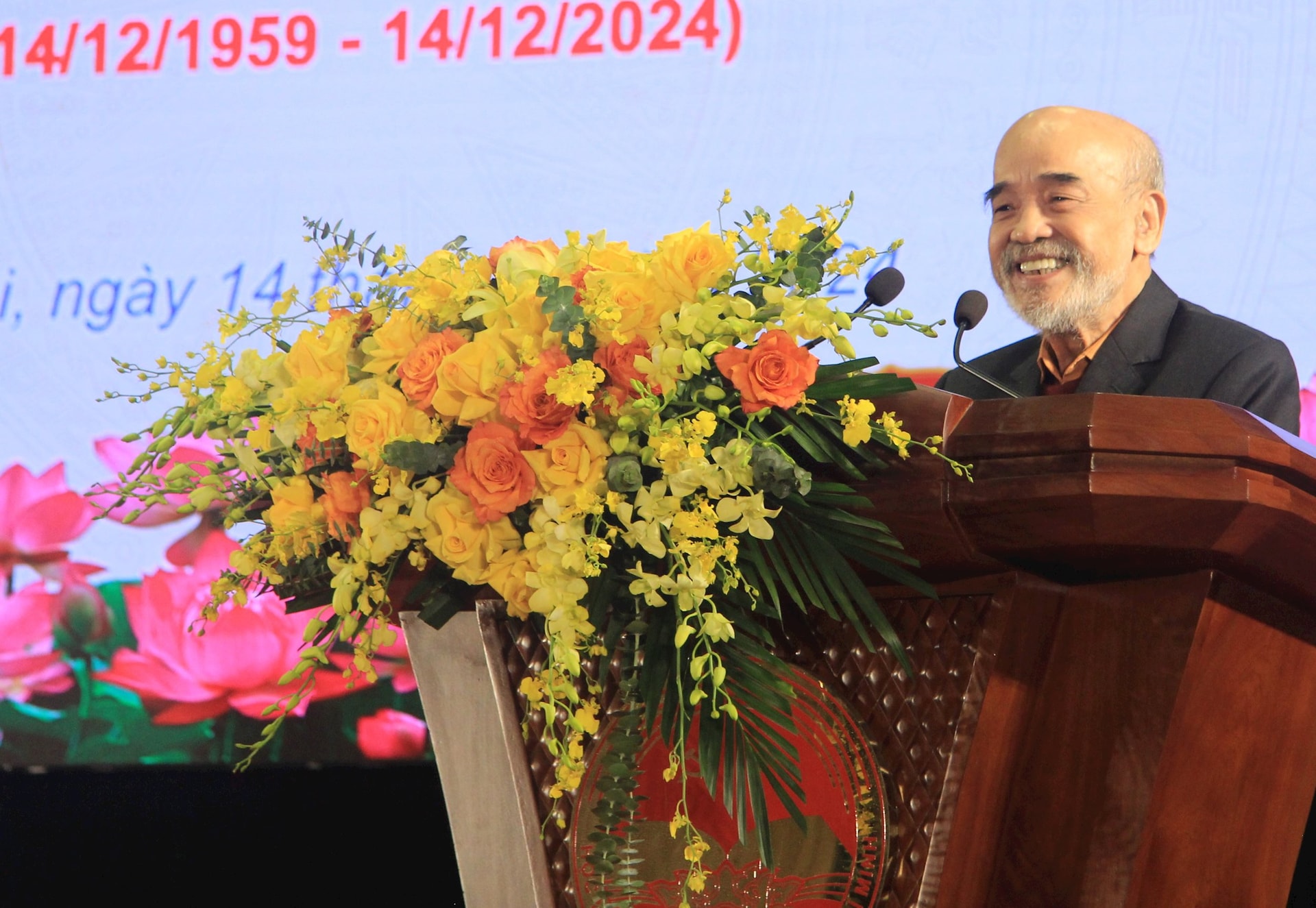
Speaking at the ceremony, discussing the development orientation of the Vietnam Surveying and Mapping industry in the coming period, Prof. Dr. Dang Hung Vo, former Deputy Minister of Natural Resources and Environment, Chairman of the Vietnam Association of Geodesy, Cartography and Remote Sensing, said that in the coming time, the requirements for resource management, environmental protection, and climate change adaptation will become increasingly severe, in which the position and role of the surveying and mapping industry will become increasingly important, as a tool and basic technical foundation serving socio-economic development planning; natural disaster prevention and control, rescue and relief; overcoming environmental incidents, responding to climate change; ensuring national defense and security.
To meet the requirements of the new period, Prof. Dr. Dang Hung Vo also suggested many directions for the industry, emphasizing the continued development of the national geospatial data infrastructure as an important and fundamental foundation, providing geospatial data services for industries and fields to meet the requirements of state management, serving digital transformation, building e-Government, towards digital government, digital economy, digital society and smart cities.
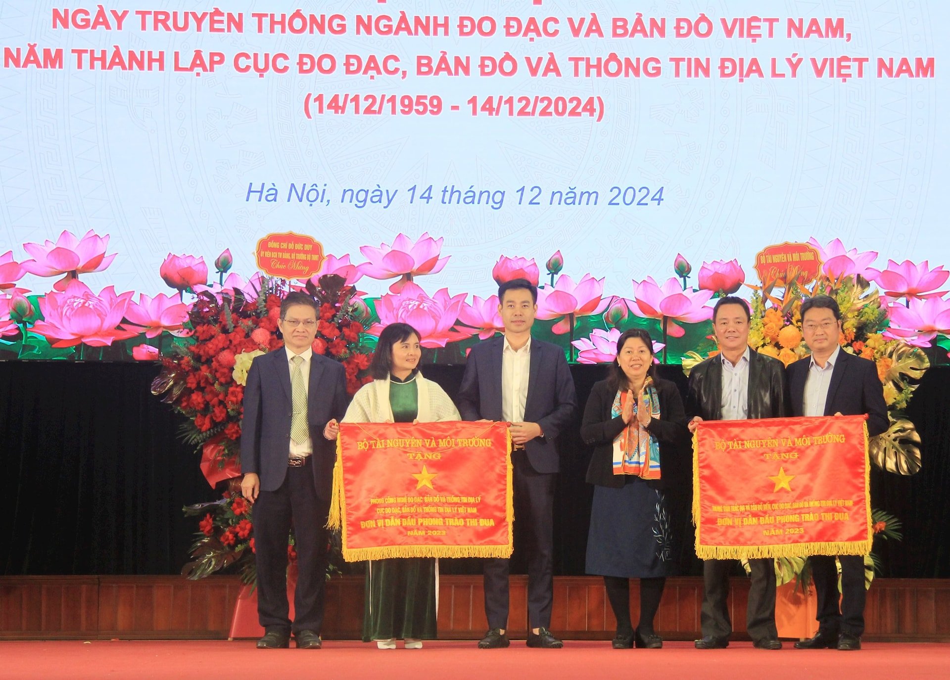
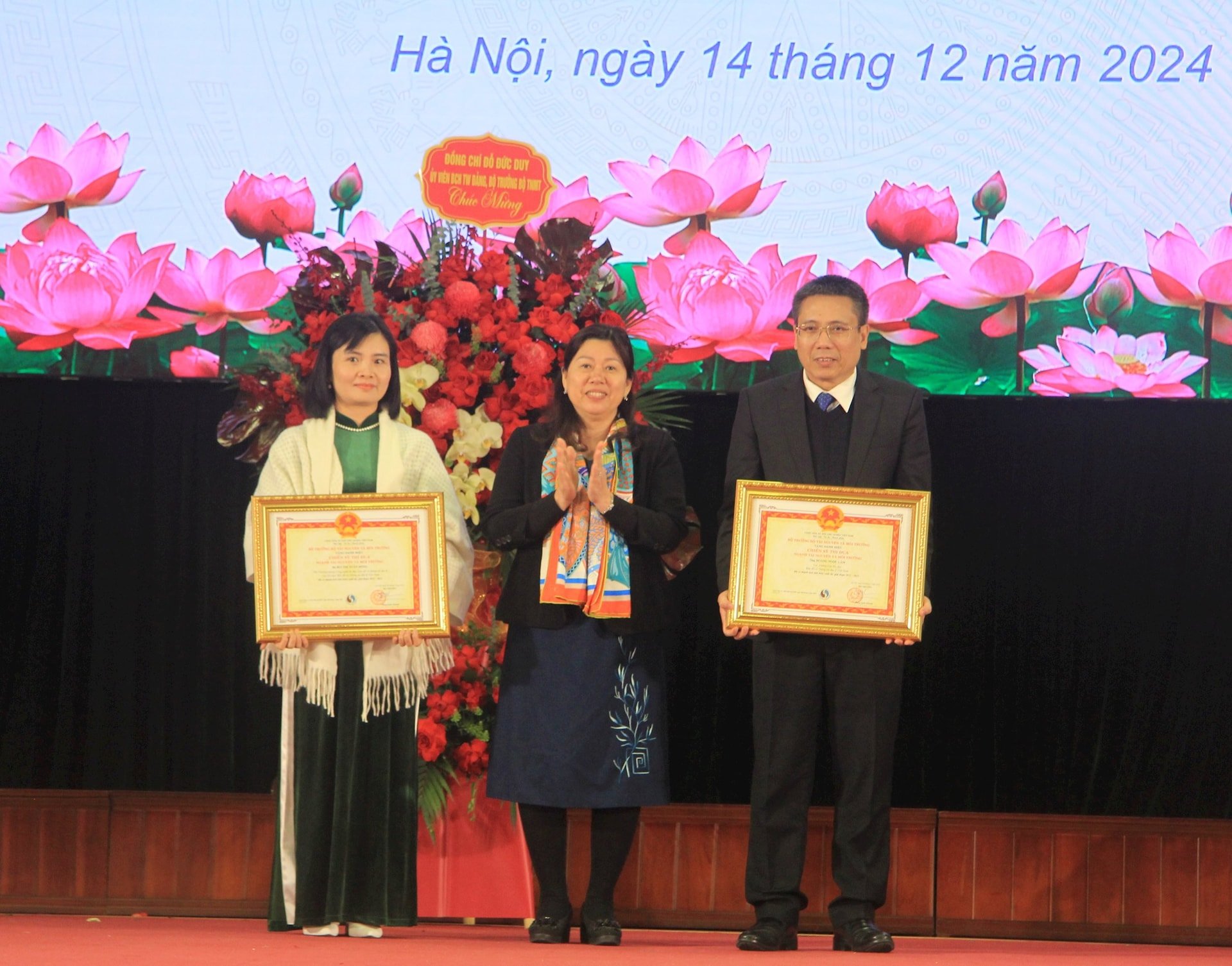
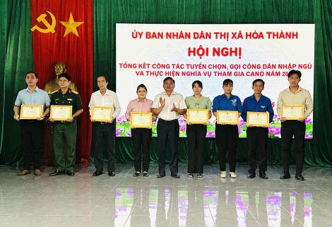
Also at the ceremony, authorized by the Minister of Natural Resources and Environment, Deputy Minister Nguyen Thi Phuong Hoa awarded the Emulation Flag of the Ministry of Natural Resources and Environment to two groups under the Department of Surveying, Mapping and Geographic Information of Vietnam for their outstanding achievements in the emulation movement in 2023; awarded the title of Emulation Fighter of the Natural Resources and Environment sector to Mr. Hoang Ngoc Lam, Director of the Department of Surveying, Mapping and Geographic Information of Vietnam and Ms. Bui Thi Xuan Hong, Deputy Head of the Department of Surveying, Mapping and Geographic Information Technology for their outstanding achievements in the period 2021-2023.
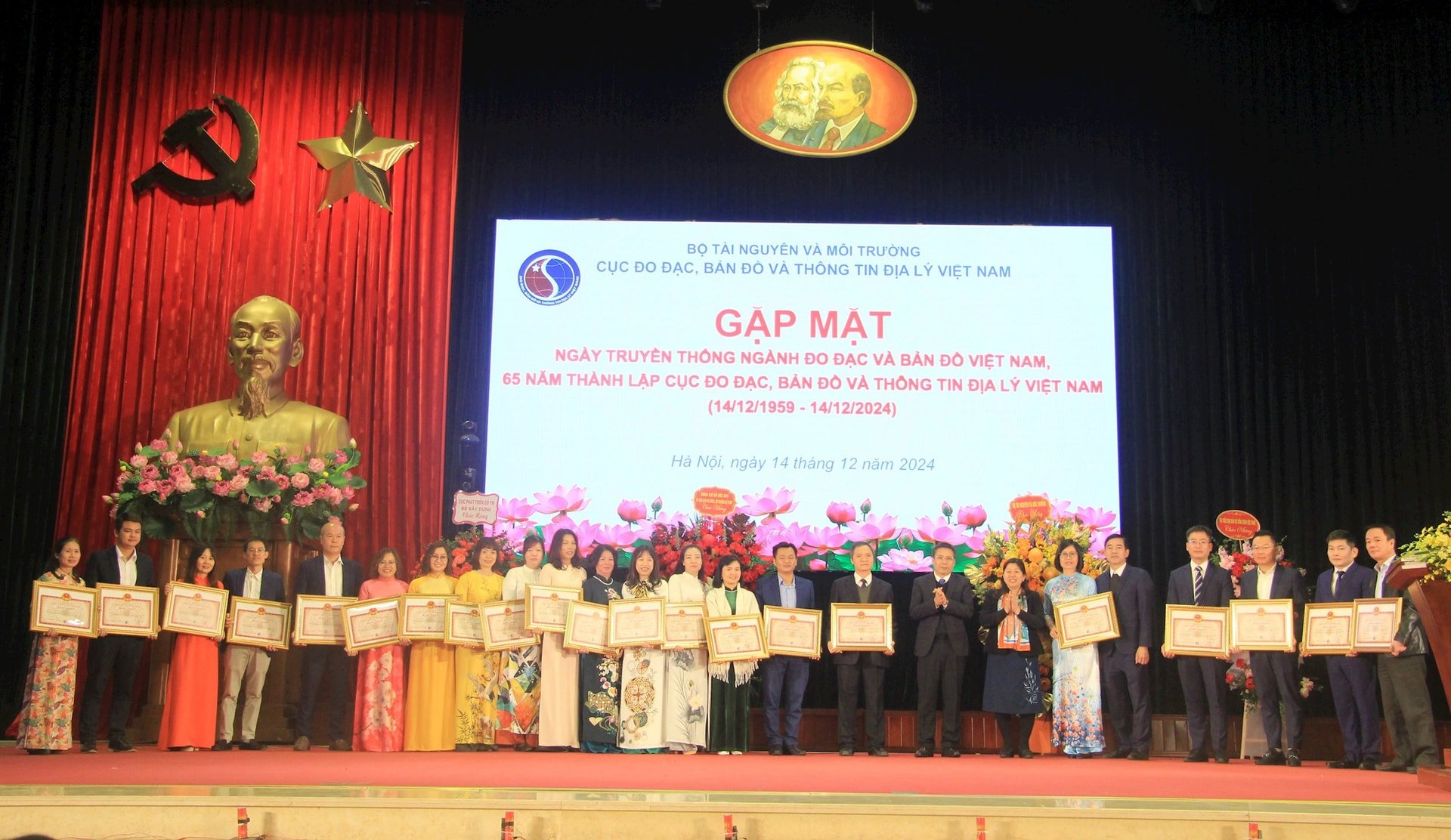
Deputy Minister Nguyen Thi Phuong Hoa presented Certificates of Merit from the Minister of Natural Resources and Environment to 7 groups and 14 individuals of the Department of Surveying, Mapping and Geographic Information of Vietnam for their outstanding achievements in 2023 and in the emulation movement to celebrate the traditional day of the Vietnam Surveying and Mapping industry and the 65th anniversary of the establishment of the Department of Surveying, Mapping and Geographic Information of Vietnam.
Source: https://baotainguyenmoitruong.vn/cung-cap-day-du-kip-thoi-thong-tin-du-lieu-do-dac-va-ban-do-phuc-vu-phat-trien-kinh-te-xa-hoi-dat-nuoc-384530.html

![[Photo] Prime Minister Pham Minh Chinh receives Chairman of Skoda Auto Group](https://vstatic.vietnam.vn/vietnam/resource/IMAGE/2025/3/27/298bbec539e346d99329a8c63edd31e5)


![[Photo] Nearly 2,000 people enthusiastically participated in the Olympic Running Day - For the security of the Fatherland](https://vstatic.vietnam.vn/vietnam/resource/IMAGE/2025/3/27/33bed26f570a477daf286b68b14474d4)


Comment (0)