
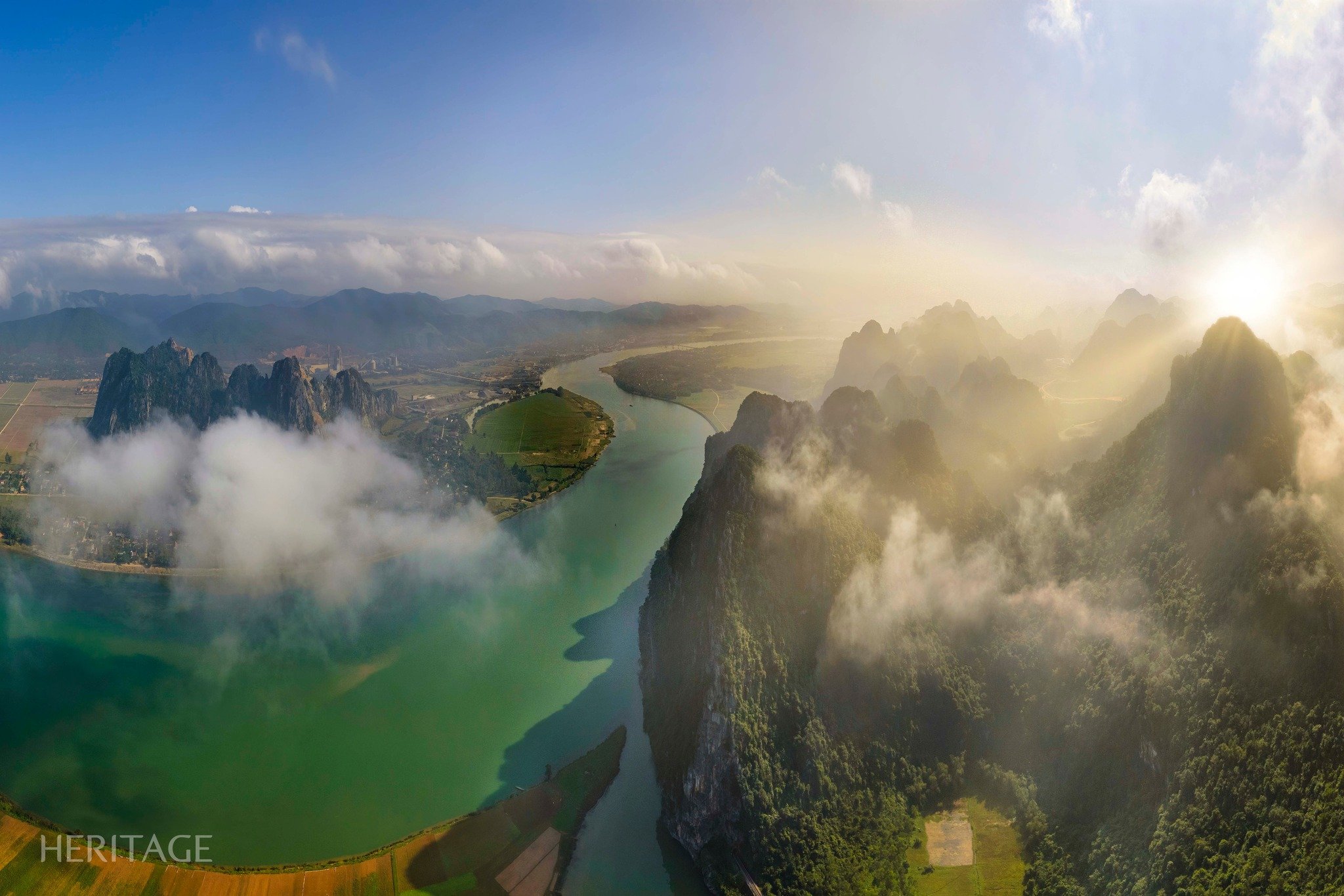
What does the Canada-US border actually look like? Reuters has created a series of photos that show us this border with many strange features.
According to Statista, the international land border between the United States and Canada is the longest border in the world at nearly 8,900 km; it includes the border between Canada and the continental United States as well as the border between Alaska and northern Canada.

A cut through the trees marks the border between Canada and the United States in Champlain, New York, photographed on February 4.
PHOTO: REUTERS

Staff member Lee Anne Smith smiles on the U.S. side of the Haskell Library and Opera House, which straddles the U.S.-Canada border in Stanstead, Quebec, and in Derby Line, Vermont, marked by a black line on the floor, Jan. 21.

Vehicles travel on the Canadian side of the yellow line (left), marking the international border in Stanstead, Quebec, while others travel on the U.S. side (right) in Beebe Plain, Vermont, January 21.

A house with a backyard fence made of stones marks the international border between the U.S. state of Vermont and the Canadian province of Quebec, near Franklin, Vermont, January 19.

A stone marker sits on the border between the United States and Canada in Champlain, New York, February 4.

U.S. Border Patrol officers talk to an RCMP officer after he was invited by Border Patrol to cross to the U.S. side at Roxham Road, between the U.S. state of New York and the Canadian province of Quebec, near Champlain, New York, January 17.

The Canada-United States border between the U.S. state of New York and the Canadian province of Quebec, near Champlain, New York, January 17

Cement blocks mark the Canada-United States border between the U.S. state of Vermont and the Canadian province of Quebec, near Alburgh, Vermont, January 18.

Sean Eastman fires an airsoft gun behind his home, the last home in the United States before the Canadian border, as his friend Zachery Robenstein looks on, in Beebe Plain, Vermont, January 21.

A U.S. Border Patrol vehicle stands along concrete blocks marking the international border between the U.S. state of Vermont and the Canadian province of Quebec, near Alburgh, Vermont, January 20.

Snow covers the ground around a sign in southern Alberta, Canada, bordering the U.S. state of Montana, January 18.

Footprints in the snow from the wooded border area on Christopher Parent's property, located just above the Canada-U.S. border in Churubusco, New York, on Jan. 23, 2025. Living along this remote stretch of the border, Parent said he has seen U.S. Border Patrol agents chasing migrants and also regularly sees fresh footprints in the snow from the wooded border area. He sees it as evidence that migrants are moving north into Canada and south into the U.S.

People cross the Rainbow International Bridge at the border between Niagara Falls, Ontario and Niagara Falls, New York, January 31.

Pedestrians walk near the Border View grocery store in Champlain, a town on the Canada-United States border between the U.S. state of New York and the Canadian province of Quebec, in Champlain, New York, January 23.

Flags of Canada and the United States fly over the Peace Arch monument marking the border between the two countries, in Surrey, British Columbia, Canada, February 3.
Source: https://thanhnien.vn/bien-gioi-dai-nhat-the-gioi-giua-canada-hoa-ky-trong-nhu-the-nao-185250311143313497.htm


Comment (0)