
Son Tra District Art Gallery (02 Vu Van Dung, Son Tra District, Da Nang City) has just opened the exhibition "Son Tra past and present" with historical images showing the transformation of the Han River and Da Nang beach area.
The exhibition introduces 50 photos, arranged side by side between old and new photos, especially the same shooting angle and location after decades so that viewers can see the dramatic changes of Son Tra land.
From a low-lying area of Da Nang City, in the past 30 years Son Tra has become the most developed district of the city.
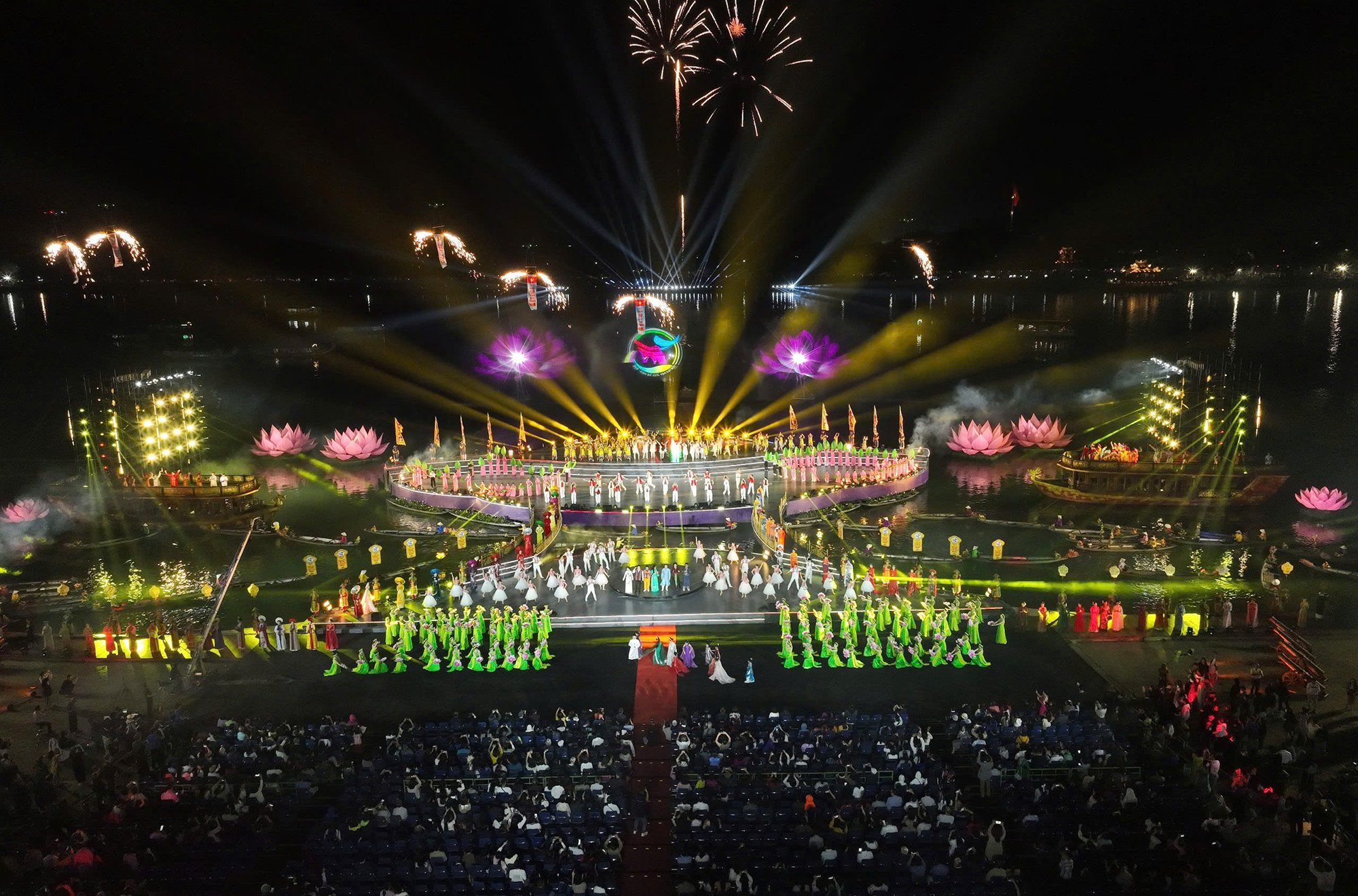
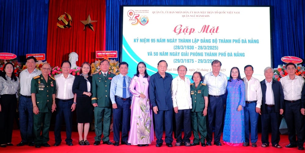
This is an important cultural event to celebrate the 95th anniversary of the founding of the Da Nang City Party Committee (March 28, 1930 - March 28, 2025) and the 50th anniversary of the liberation of Da Nang City (March 29, 1975 - March 29, 2025).
The works depict diverse perspectives of Son Tra peninsula, Han river, Da Nang beach... from images that only exist in memory (such as ferry terminals, riverside alluvial land, stilt houses) to now giving way to the symbolic bridges of Da Nang city, modern urban areas, spacious high-rise buildings, luxury hotel chains, resorts... All bring vitality and a new look to Son Tra tourist district as well as Da Nang city.
Through past and present photography works, viewers appreciate the efforts of the locality and people of Da Nang City to create miraculous changes in the land; understand more about the historical and traditional values of Son Tra District, a land that has gone from being wild to possessing the most potential tourism in Da Nang City.
The exhibition runs until May 6.
Some images introduced at the exhibition:

The old folk song "From this side of Han, looking to the other side of Ha Than, the water is as green as a leaf/From the other side of Ha Than, looking to this side of Han, seeing the streets striding forward" reflects the separate development of the Han River between the center of ancient Da Nang (present-day Hai Chau District) and Son Tra District (former Ha Than area).
PHOTO: DOAN NAM

The east bank of the Han River used to be a deserted area, but today it is filled with villas, high-rise buildings, and a new, spacious urban area.
PHOTO: MR. VAN SINH

The east bank of the Han River with its makeshift stilt houses on the river has completely transformed and developed bustlingly as it does today.
PHOTO: MR. VAN SINH

Son Tra District is one of the areas with the most clearance in Da Nang City. Photo in 2009 (right) shows the construction of a series of apartment buildings, resettlement areas in Nai Hien Dong Ward and the current spacious urban appearance.
PHOTO: TRAN NGOC

From an alluvial land with only boats anchored at the Han River lighthouse in 2009, it has now become a golden land with a series of real estate projects, villas, marinas, and luxury apartments.
PHOTO: TRAN NGOC

Ha Than ferry, the only means of transport across the Han River from Da Nang Bay to Nguyen Van Troi Bridge in the past, now has many impressive bridges spanning across it.
PHOTO: MR. VAN SINH

Today, the deserted Da Nang beach has become the capital of central coastal tourism with a chain of 4-5 star hotels and resorts.
PHOTO: MR. VAN SINH

My Khe Beach in 1968 and today with bustling tourism activities
PHOTO: DOAN NAM

Man Thai beach is not only for fishermen (old photo 1985) but now it has become a tourist beach with diverse activities.
PHOTO: MR. VAN SINH

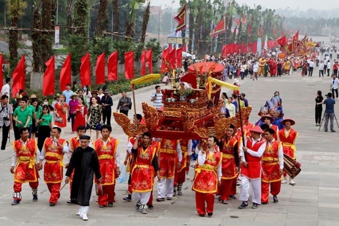
Traditional cultural festivals of coastal fishermen such as praying for fish and worshiping Whale are still preserved and their identity is promoted.
PHOTO: TRAN TAM PHUC

Nguyen Van Troi Bridge, a military bridge built by the US in the 60s of the last century to transport equipment from Tien Sa port and Da Nang city, has now become a tourist bridge and pedestrian bridge.
PHOTO: DOAN NAM

Son Tra Peninsula still retains its green space, the green lung of Da Nang City, the area at the foot of the peninsula, Tho Quang fishing port, Man Quang bay from the old barracks, is now a seafood service industrial park, oriented to become a large national fishing center.
PHOTO: DOAN NAM

Tien Sa Port, a US naval base during the war and the Son Tra District area where it was mainly stationed in the past, has now become an important seaport in the Central region and is oriented to become a tourist port after Lien Chieu Port is put into operation.
PHOTO: TRAN TAM PHUC

From military bases during the war, Son Tra District has become a tourist capital with a complete ecosystem of rivers, mountains, forests, seas and modern urban infrastructure.
PHOTO: TRAN TAM PHUC

Ngo Quyen Street, a military route, has now become a boulevard, a vital transport axis from Tien Sa port to National Highway 14B and National Highway 1.
PHOTO: HA PHUOC THANH
Source: https://thanhnien.vn/50-nam-giai-phong-nha-cho-song-han-lot-xac-thanh-mat-tien-tpda-nang-185250323100615345.htm

![[Photo] Fragrant grapefruit flower season by the river](https://vstatic.vietnam.vn/vietnam/resource/IMAGE/2025/3/26/8142e4cf776542758c0cbc6b144215b3)
![[Photo] Regiment 271, Tri Thien Military Region: 50 years of return](https://vstatic.vietnam.vn/vietnam/resource/IMAGE/2025/3/26/efdc2945a526480e94e4210e2c6263a5)
![[Photo] Head of the Central Propaganda and Mass Mobilization Commission Nguyen Trong Nghia received the delegation of Nhan Dan Daily](https://vstatic.vietnam.vn/vietnam/resource/IMAGE/2025/3/25/cdb71275aa7542b082ec36b3819cfb5c)


![[Photo] Cadres and members of Nhan Dan Newspaper visit the Vietnam Military History Museum](https://vstatic.vietnam.vn/vietnam/resource/IMAGE/2025/3/25/374e4f70a35146928ecd4a5293b25af0)
![[Photo] Prime Minister Pham Minh Chinh meets with the Ministry of Education and Training; Ministry of Health on the draft project to be submitted to the Politburo](https://vstatic.vietnam.vn/vietnam/resource/IMAGE/2025/3/25/c0e5c7348ced423db06166df08ffbe54)


Comment (0)