1. Where is the earliest place to see sunrise in Vietnam?
- Doi Cape, Khanh Hoa0%
- Mui Dien, Phu Yen0%
- Mui Ne, Binh Thuan0%Exactly
Mui Doi is a coastal cape located on Hon Gom peninsula in Van Thanh commune, Van Ninh district, Khanh Hoa province. Mui Doi is 80km north of Nha Trang city and 35km south of Tuy Hoa city. In 2005, the Ministry of Culture and Information (now the Ministry of Culture, Sports and Tourism) issued a decision to rank Mui Doi - Hon Doi as a national scenic spot.
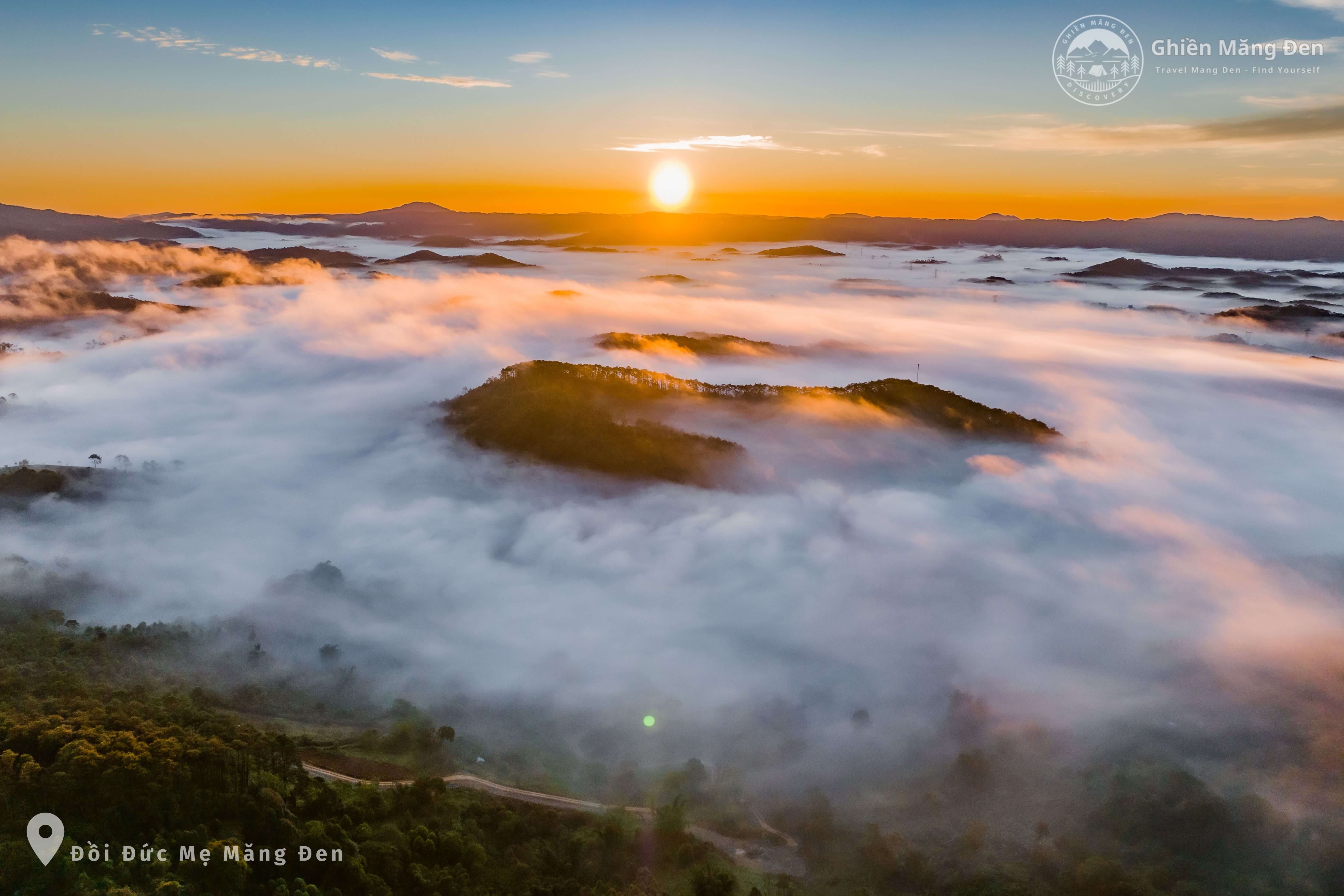
On the website of Khanh Hoa Provincial People's Committee, the geographical location of this province is recorded as bordering the East Sea to the East, the easternmost point: 109027'55'' East longitude. Hon Doi Cape on Hon Gom Peninsula, Van Ninh District, is also the easternmost point on the mainland. Thus, this is the place to welcome the first sunrise on the mainland of Vietnam.
2. How many big bays does Khanh Hoa have?
- 20%
- 30%
- 40%Exactly
According to the introduction of Khanh Hoa Provincial People's Committee, this province has 6 bays and lagoons. There are 3 large bays including Van Phong Bay with an average depth of over 10m, the deepest place is over 30m. Van Phong Bay area together with Dai Lanh beach, Son Tap - Trai Thom mountain area, Doc Let beach is the place with the greatest potential for comprehensive sea - forest - mountain tourism in Khanh Hoa province and the whole country, because this place has a harmonious combination of sky, clouds, waves, islands, forests and mountains with white sand beaches.
Nha Trang Bay has an area of about 400km2. The East and South of the bay are bounded by an arc of islands. The largest is Hon Tre Island (also known as Hon Lon) with an area of about 30km2. On the island there are famous tourist destinations such as: Bai Tru, Bai Tre, Tri Nguyen Fish Lake (Hon Mieu), Hon Mun...
Cam Ranh Bay has an area of about 185km2, with a common depth of 5-10m, the outside depth is 12-25m, and the exit of the bay approaches the "depth line" of 40m. Cam Ranh Bay is a fairly closed bay, with residents living mainly on aquaculture, fishing, and small-scale industry...
3. Which is the largest bay in Khanh Hoa?
- Nha Trang Bay0%
- Van Phong Bay0%
- Cam Ranh Bay0%Exactly
Van Phong Bay is the largest bay in Khanh Hoa province with a total area of 503km2, an average depth of over 10m, the deepest point is over 30m. Dai Lanh Cape tourist area of the bay is on the list of key national tourist areas.
4. How many kilometers long is Khanh Hoa's coastline?
- 3650%
- 3850%
- 3950%Exactly
Khanh Hoa's coastline is 385km long with many estuaries, lagoons, bays, many islands and vast sea areas. In particular, Khanh Hoa has Truong Sa as an island district, which has an important economic, security and defense position.
5. Which of the following islands is known as "lobster island"?
- Diep Son0%
- Binh Ba0%
- Hon Tre0%Exactly
Binh Ba is a small island with an area of over 3km² in Cam Binh commune, Cam Ranh city, Khanh Hoa province. The island is located in Cam Ranh bay, about 60km south of Nha Trang city, 15km east of Ba Ngoi port. Binh Ba island is called "lobster island" because the most famous specialty here is lobster. Binh Ba lobster is not only abundant but also very fresh, delicious and cheap.
- Diep Son
Topic:
Geography quiz
history test
Featured News
- 365
- Nha Trang Bay
- 2
Source: https://vietnamnet.vn/noi-nao-don-binh-minh-som-nhat-viet-nam-2332246.html







































Comment (0)