
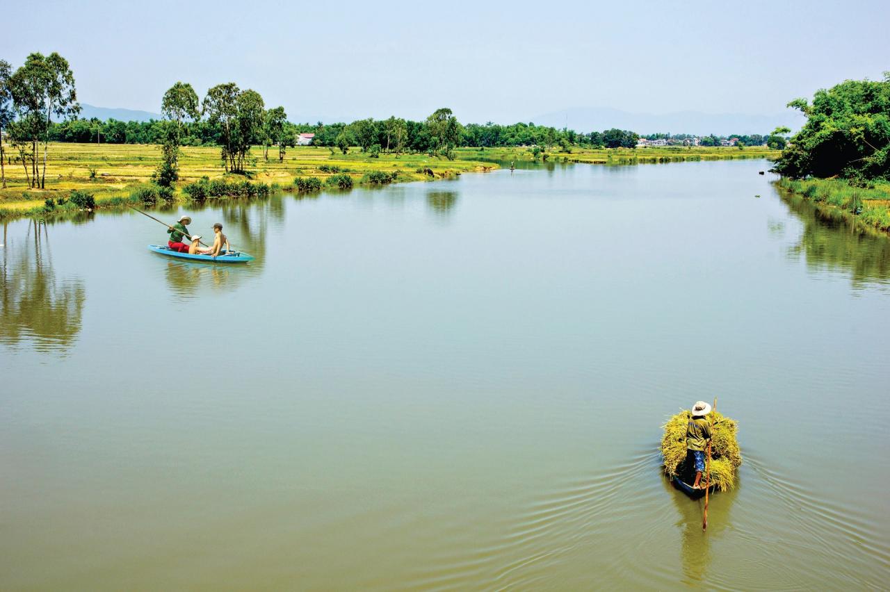
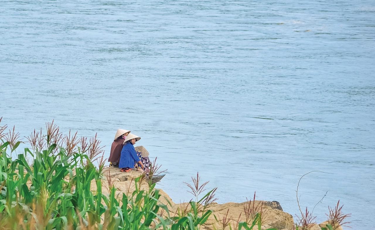
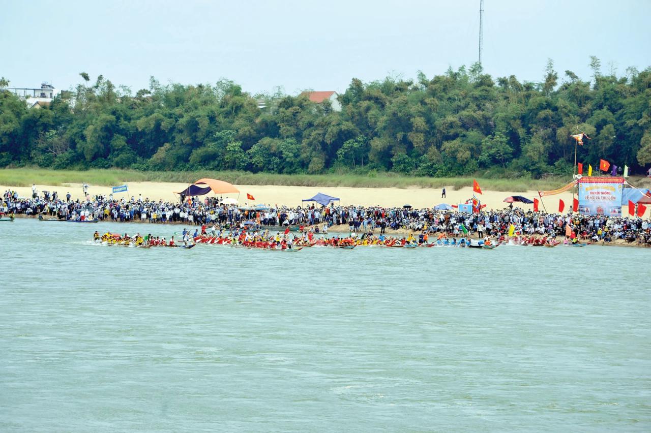
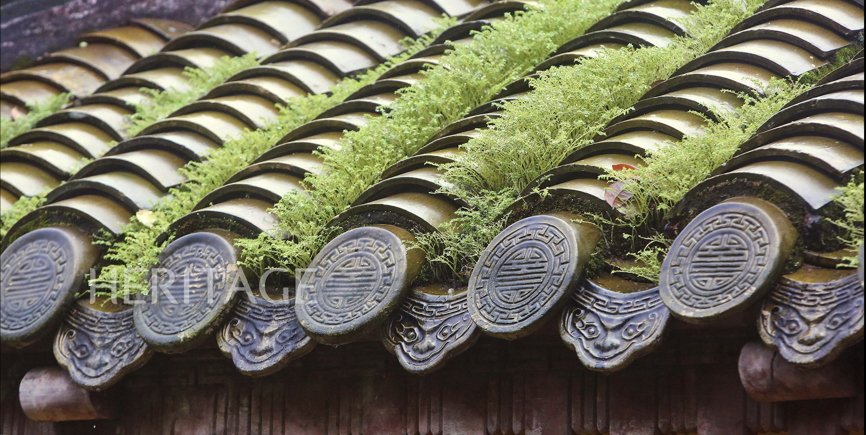
The River Story
The river, in Sanskrit called Nadī नदी, in ancient Cham called Krauṅ /krɔ:ŋ/. The traces of Campa (Champa) left in Quang Nam - Da Nang with the history of the formation of the kingdom of more than 1,000 years, are not only temples. The massive irrigation system with fields, canals, and dams was built in ancient times. And the story of the river still continues.
The Great River (mahānadī) is mentioned in three inscriptions in the Quang Nam area: C.72 in My Son, C.105 in Hon Cut, C. 147 in Chiem Son.
During the Campapura dynasty (4th-7th centuries), the C.72 inscription discovered near A1 temple, My Son, was considered by L. Finot to be the first charter of the area.
Besides, the C.147 inscription in Chiem Son shows that to the north there is the Mahā River (mahānadī). The Campapura Dynasty only mentioned the name of the Big River, which belongs to the territory of My Son, now a part of the Thu Bon River.
In the later dynasties, the Indrapura dynasty spanning from the 8th to the 10th centuries, three river systems were mentioned. Among them, the boundaries of the temples were confirmed to be adjacent to the Nayauna River, the Luvu River and the Bhauk Śirā River, corresponding to the Thu Bon River and the Ly Ly River systems.
Inscription C. 106 was discovered in Ban Lanh village (Dien Trung commune, Dien Ban town), about 12 miles north of inscription C. 66 in Dong Duong.
Previously, the Śrī Rudramaddhyeśvara temple was also built here by the sage Śrī Kalpa. From the Ṅauk Rayā field to the Nayauna river mouth, from the river mouth to the south bank of the temple, there are more than 100 fields, villages, ponds and lakes with place names in ancient Cham language. All are under the influence of the irrigation system of the two northern branches originating from the Thu Bon River, separating from the Ancient Tower in two directions: Northeast and Southeast.
According to the terrain of Ban Lanh village, the Nayauna River mentioned in the C.106 inscription can only be two branches of the Great River (mahānadī) flowing down in the Northeast and Southeast directions.
Later Indrapura Dynasty
Also during this period, King Śrī Jaya Siṅhavarmadeva built temples and divided the system of villages and fields in Cam Le (now Da Nang City). The evidence is still recognized through the inscription C.211 in Khue Trung and C.142 in Hoa Que. In terms of archaeology, the Phong Le ruins are also considered a religious center during this dynasty.
Next to that, the C.140 inscription site in Huong Que, Que Son faces the east to the Ly Ly River - the territory of the lords could reach the Thu Bon River, Ba Ren River, Truong Giang River and even the highlands.
During the reign of Yāṅ Põ Ku Śrī Jaya Harivarmadeva Ciy Śivānandana in the early 13th century, there were two rivers mentioned in the C. 100 inscription: the river flowing through the capital city of Siṅhapura (Trà Kiêu) and the Yāṃ river - two rivers belonging to the Thu Bồn river system (southern branch).
The C. 100 inscription was discovered at Temple G5, My Son - the Yāṃ River location east of the Guheśvara temple - a temple mentioned in the C. 106 Indrapura dynasty inscription.
Previously, in Śaka 1010 (1088), during the reign of King Śrī Jaya Indravarmmadeva Yãṅ Devatāmūrti, inscription C. 89 discovered at D1 temple, My Son also listed the fields, villages and rivers here during the reconstruction of the country devastated by war.
Inscription C.64 in Chiên Đàn states that at the end of the 11th century, King Śrī Harivarmadeva conquered the entire south, from the Tam Kỳ River to the Campeśvara Temple, in Trà Kiệu. The lords in this area submitted and became his vassals. The fields and lakes of the Tam Kỳ river system are also mentioned in inscriptions C. 227 in An Mỹ and C.63 in Khương Mỹ.
Quang Nam - Da Nang, where the ancient capital of Campa has existed and grown for nearly 1,000 years. Time has faded the relics but the names of the rivers, streams, lakes, fields, villages and people, all are still there. The shape may be different but the echoes of the dynasties still ripple in the waves, including stories about the life of the river.
Source: https://baoquangnam.vn/nhung-dong-song-trong-bia-ky-cham-3148245.html


Comment (0)