
The exhibition held in Cao Bang displays 80 maps and documents - historical and legal evidence - on Vietnam's sovereignty over the Hoang Sa and Truong Sa archipelagos.
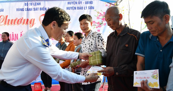
") Visitors excitedly look at photos and documents displayed at the Exhibition. (Photo: Chu Hieu/VNA)
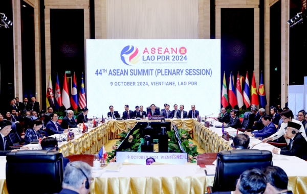
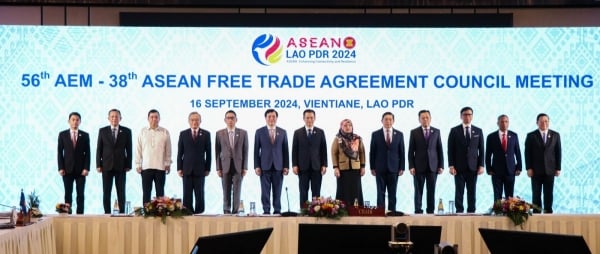
Visitors excitedly look at photos and documents displayed at the Exhibition. (Photo: Chu Hieu/VNA)On September 22, the Department of Information and Communications coordinated with the Department of Culture, Sports and Tourism and the People's Committee of Cao Bang City to organize an exhibition of maps and documents on Vietnam's Hoang Sa and Truong Sa archipelagos, historical and legal evidence; photos in the ASEAN Community and photos and documents on Vietnamese ethnicity and religion.
The exhibition introduces nearly 400 photos in the ASEAN Community; photos and documents about Vietnamese people and religion. In particular, the exhibition displays 80 maps and documents about Vietnam's sovereignty over the Hoang Sa and Truong Sa archipelagos; the signing ceremony of three documents on the Vietnam-China land border; Vietnam-China land border markers; and documentary images of the Hoang Sa and Truong Sa archipelagos during the French colonial period and the Republic of Vietnam.
[The first photo exhibition on Hoang Sa and Truong Sa held in Quang Ngai]
According to Deputy Director of the Department of Information and Communications of Cao Bang province Vu Van Chung, this is an important information and propaganda activity, contributing to providing historical and legal evidence, affirming the Vietnam-China land border markers and Vietnam's sovereignty over Hoang Sa and Truong Sa.
The exhibition contributes to arousing patriotism, solidarity and sense of responsibility to protect the country's sea and island sovereignty among all classes of people, especially the younger generation, union members, youth, students, etc. Thereby, continuing to affirm sovereignty over Hoang Sa and Truong Sa as well as sea and island areas under Vietnam's sovereignty; calling on people to join hands to build the ASEAN Community, a community for the goal of peace, stability and development./.
Source


![[Photo] Prime Minister Pham Minh Chinh chairs Government Conference with localities on economic growth](https://vstatic.vietnam.vn/vietnam/resource/IMAGE/2025/2/21/f34583484f2643a2a2b72168a0d64baa)


Comment (0)