
Cold air is likely to be active, with many severe cold spells occurring in January and February 2025. ENSO is currently in a neutral state.
Cold air is strong in January
The National Center for Hydro-Meteorological Forecasting has just forecasted monthly climate trends from December 21, 2024 to January 20, 2025.
In particular, the warning of dangerous weather, from December 21-31, tropical depression will be active in the South China Sea, then in January 2025, the tropical cyclone activity will gradually weaken.
Notably, during the forecast period, cold air tends to be active, with the possibility of many days of severe cold, concentrated in January 2025.

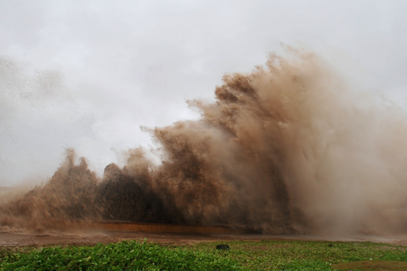
In addition, the Central and South Central regions continue to experience widespread moderate and heavy rains; the Eastern Central Highlands and the Southern region are likely to experience scattered showers and thunderstorms, with some areas experiencing moderate and heavy rains (concentrated in the last week of December). Due to unseasonal rain, people need to be on guard against the possibility of dangerous weather phenomena such as tornadoes, lightning, hail and strong gusts of wind.
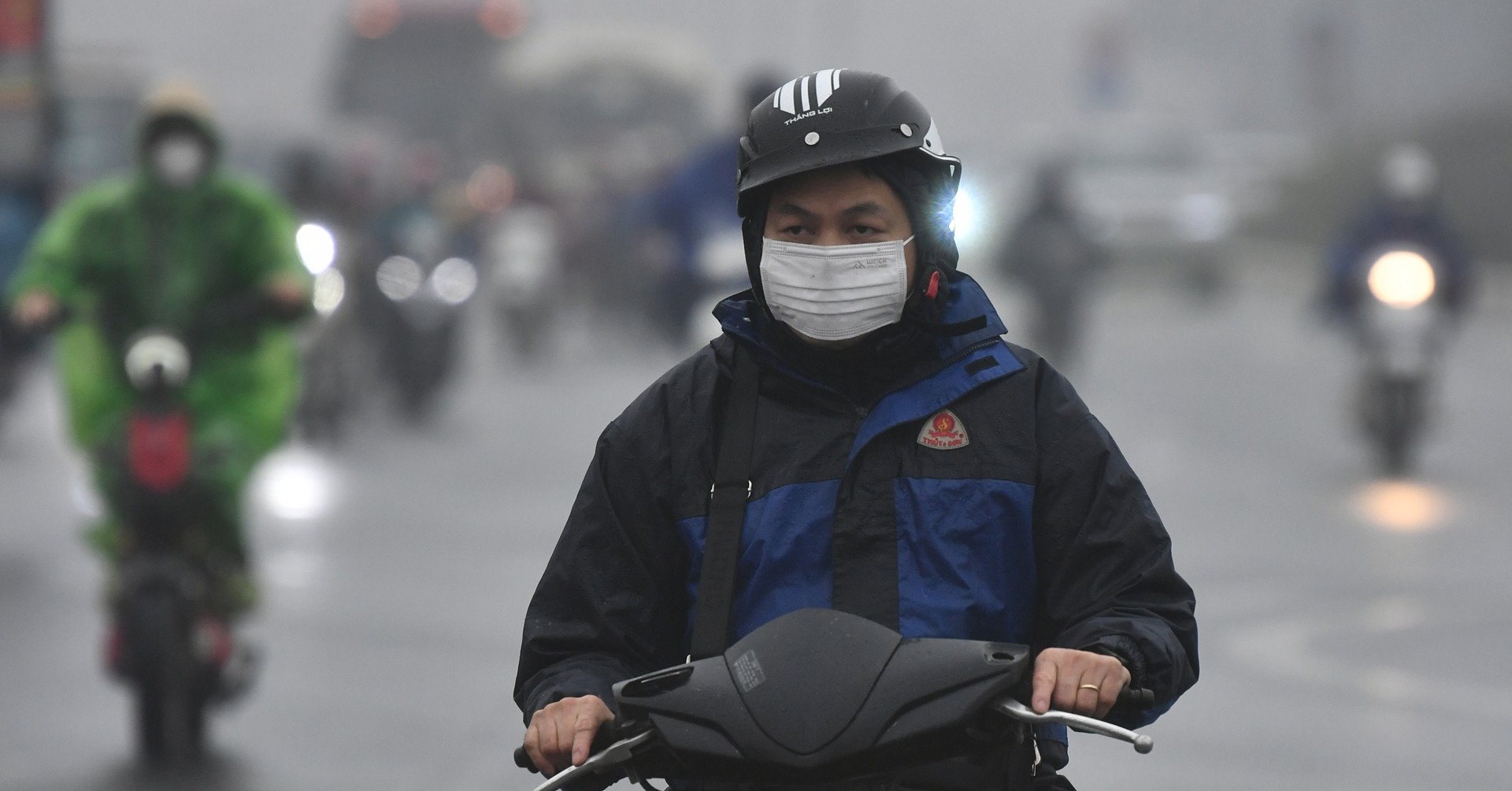
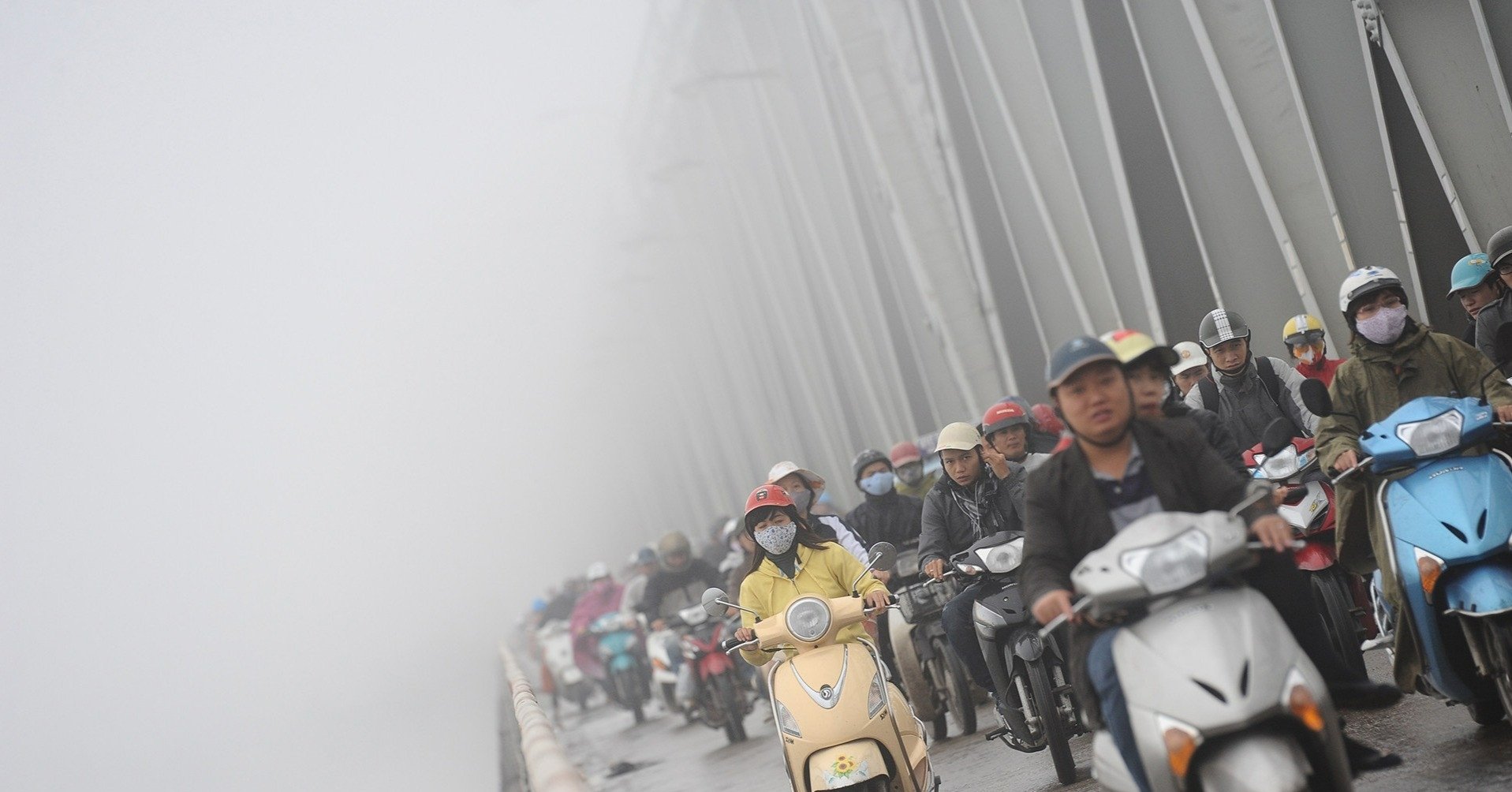
At the same time, cold air can cause many days of severe cold in the northern provinces, with the risk of frost and ice causing great impacts on livestock, crops and people's health, especially in the northern mountainous areas.
Possibility of many severe cold spells in the first two months of the year
Commenting on weather patterns from January to March 2025, Deputy Director of the National Center for Hydro-Meteorological Forecasting Hoang Phuc Lam said that the ENSO phenomenon is in a neutral state. In the first 3 months of 2025, ENSO will continue to remain in a neutral state.
From January to March 2025, it is forecasted that there will be little possibility of storms and tropical depressions operating in the East Sea and affecting our country (at a level approximately equal to the average of many years, of which 0.6 storms in the East Sea and 0.1 storms making landfall).
According to Mr. Lam, cold air and severe cold are likely to be active in January and February 2025. In March, cold air activity is approximately at the average level of many years; it is necessary to be on guard against the possibility of severe cold spells accompanied by frost and ice during this time, especially in the northern mountainous areas.
From January to March, the average temperature is generally at a level similar to the average of many years in the same period. Heat waves are likely to appear at a level similar to the average of many years in the Southern region (concentrated in the Eastern region), the Northwestern region of the North and the Central region.
Regarding the rain situation, Mr. Lam forecasted that the total rainfall from January to February in the Northern region will be from 20-40mm; in March, it will be from 50-80mm.
Rainfall in the Central region is generally at the level of the average of many years. In some places in Ha Tinh, rainfall exceeds 100mm. Ninh Thuan - Binh Thuan maintains little rain, generally from 5-15mm. In January - March, total rainfall in the Central Highlands and the South is generally higher than the average of many years by 5-15mm.
More hot days in 2025
In a further forecast, according to Mr. Hoang Phuc Lam, from April to June 2025, the ENSO phenomenon is likely to continue in a neutral state.
In April, storms and tropical depressions are unlikely to be active in the East Sea; from May to June, storm and tropical depression activity in the East Sea and landfall are at a level equivalent to the average of many years (the average of many years in the East Sea is 1.6 storms, landfall is 0.3 storms).
From April to June 2025, the average temperature across the country will be approximately the same as the average of many years. In the Northern region, the heat wave will gradually spread to the East in May and June 2025. The heat wave in the Central region is likely to last for many days in the period from April to June. The heat wave will continue to occur in the South and the Central Highlands in April and May, gradually decreasing in the second half of May and likely ending in June 2025.
The number of hot and extremely hot days in 2025 across the country is likely to be higher than the average of many years, with precautions against severe and extremely severe heat, especially in the Northern and Central regions. Total rainfall from April to June across the country is generally approximately the same as the average of many years during the same period.
Meteorological experts recommend that, in the face of the above weather patterns, people need to regularly monitor forecasts and warnings on bulletins of the National Center for Hydro-Meteorological Forecasting and official media to proactively respond.
Tropical depression forms in the South China Sea, Central region has heavy rain

Weather forecast for the next 10 days: Cold air increases, the North is still cold at 10 degrees
Source: https://vietnamnet.vn/khong-khi-lanh-hoat-dong-manh-kha-nang-nhieu-dot-ret-dam-ret-hai-thang-dau-nam-2354942.html


Comment (0)