
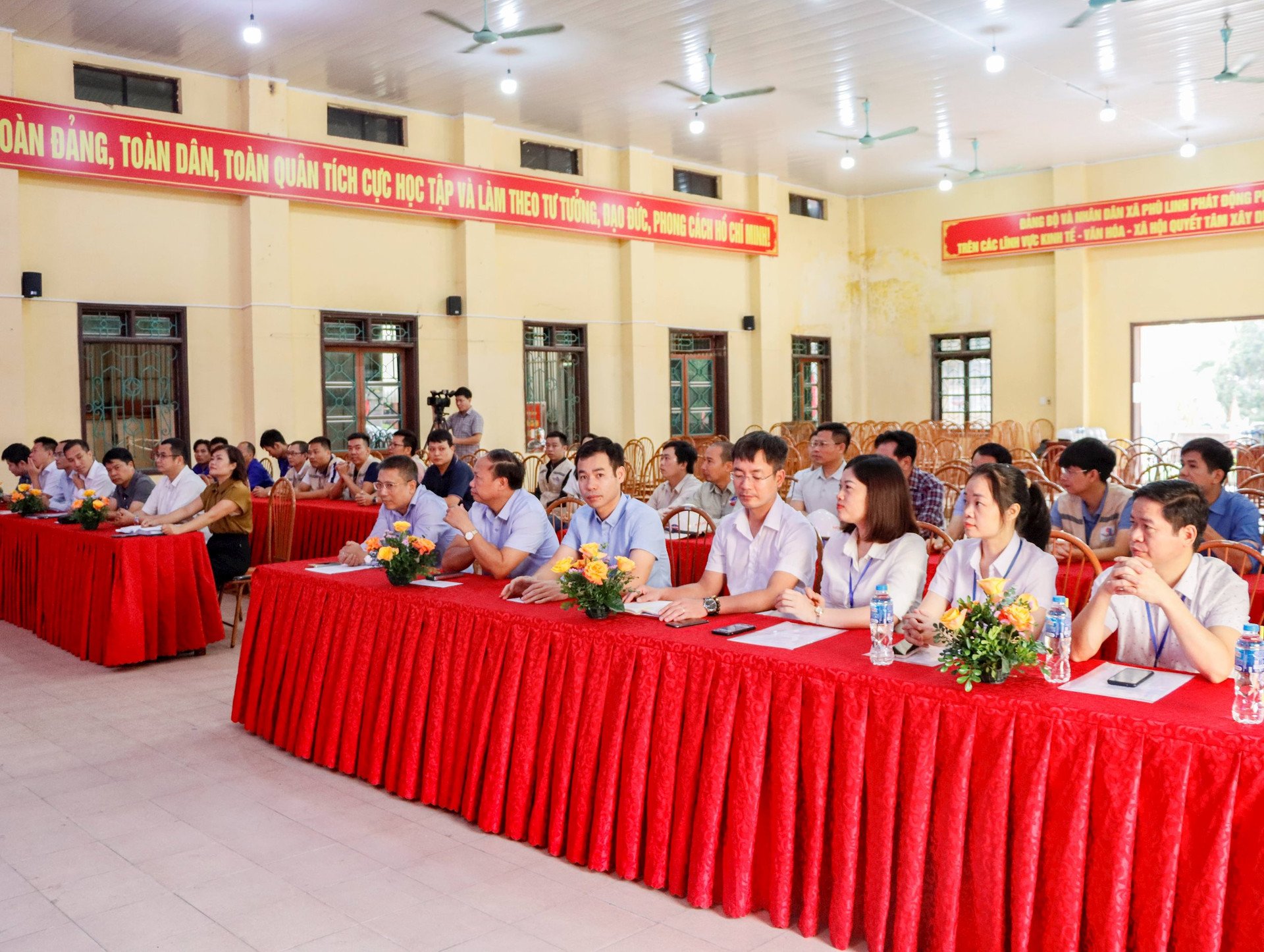
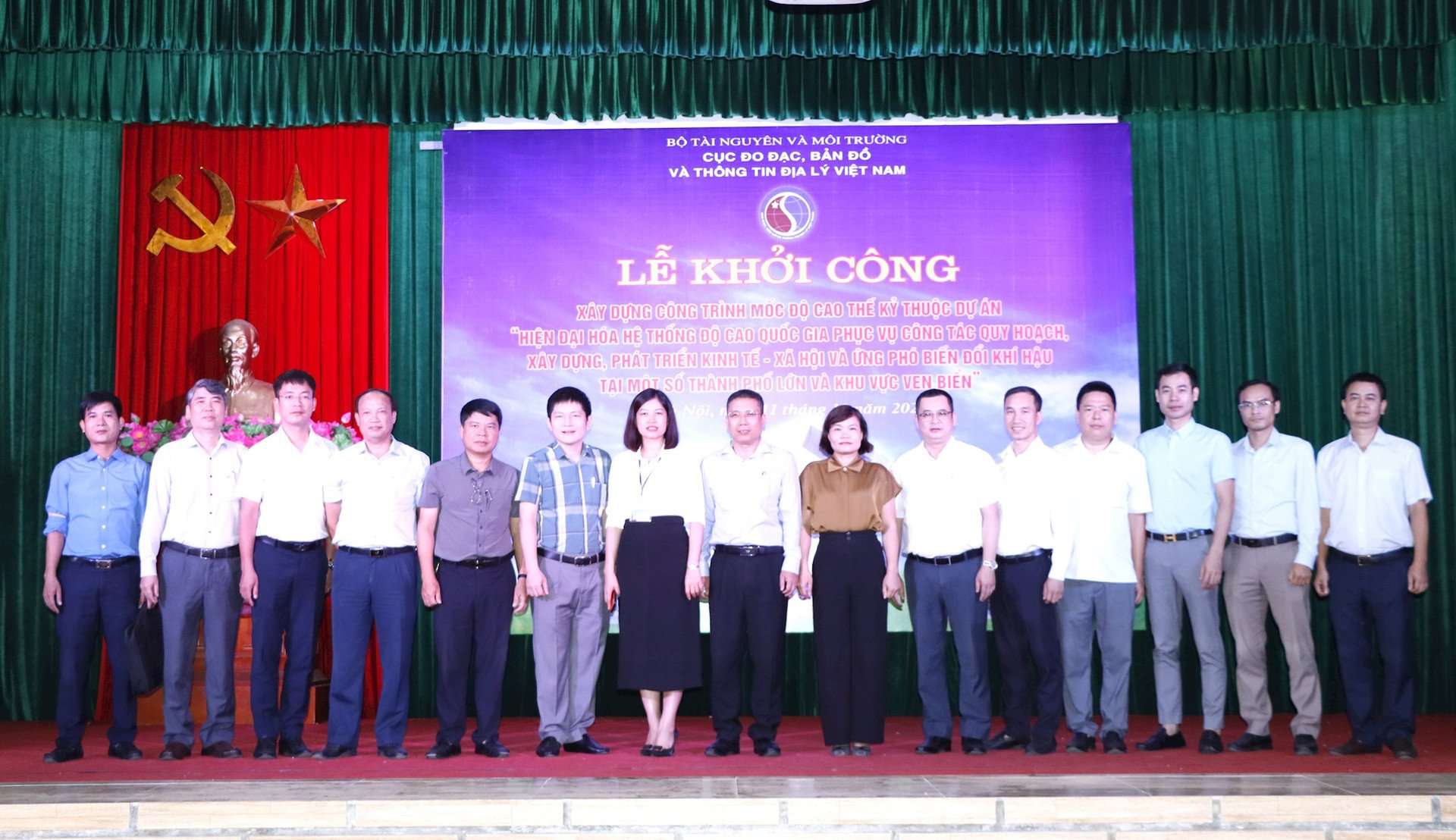
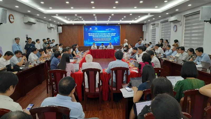
Attending the ceremony were Mr. Hoang Ngoc Lam, Director of the Department of Surveying, Mapping and Geographic Information of Vietnam; Deputy Directors of the Department of Surveying, Mapping and Geographic Information of Vietnam: Hoang Ngoc Huy, Duong Van Hai; Mr. Nguyen Duc Phu, Director of the Construction Investment Project Management Board of the Ministry of Natural Resources and Environment; Ms. Truong Ngoc Lan, Secretary of the Party Committee of Phu Linh Commune, Soc Son District, Hanoi City; representatives of leaders of units under the Department of Surveying, Mapping and Geographic Information of Vietnam; representatives of the Department of Planning and Finance, Ministry of Natural Resources and Environment and representatives of the construction unit and project supervision consultant.
The elevation system is a component of the national basic geodetic grid system, playing a key role in building the national geospatial data infrastructure. The elevation system is extremely important in studying the terrain of the territory and territorial waters to serve socio-economic development, ensure national defense and security, prevent natural disasters and floods, and respond to climate change. Determining and ensuring the accuracy and uniformity of elevation for all points and locations on the mainland and on islands is always the top requirement that a modern elevation system must achieve.
Our country's elevation network was built in 1959, has gone through many stages of construction measurement and the most recent was from 2001 to 2008 when the first and second level elevation lines were re-measured.
The results of the 2016 investigation and survey on the current status of the national elevation markers system of class I and class II nationwide conducted by the Department of Surveying and Mapping of Vietnam previously showed that more than 30% of the elevation markers were lost, damaged and unusable.
In many places and regions nationwide, the current national elevation benchmark system needs to be supplemented, completed, and systematically measured, inspected, evaluated, and recalculated to ensure accuracy and reliability in serving the work of planning, socio-economic development, natural disaster prevention, and climate change response.
To meet the requirements of socio-economic development, national security and defense, and climate change response, the Government has assigned the Ministry of Natural Resources and Environment to coordinate with the Ministry of Planning and Investment and relevant agencies to urgently complete the project, allocate resources to organize and implement the project to meet urgent requirements for the management of ministries, branches and localities.
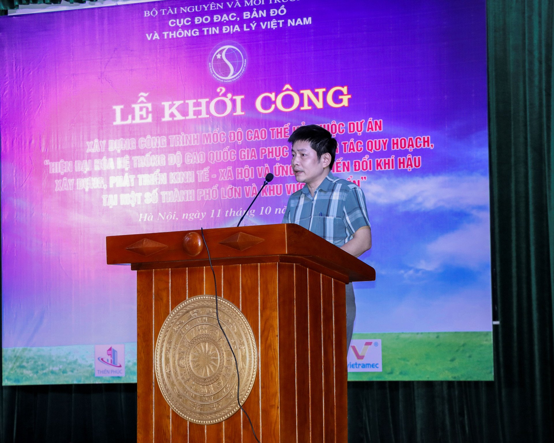
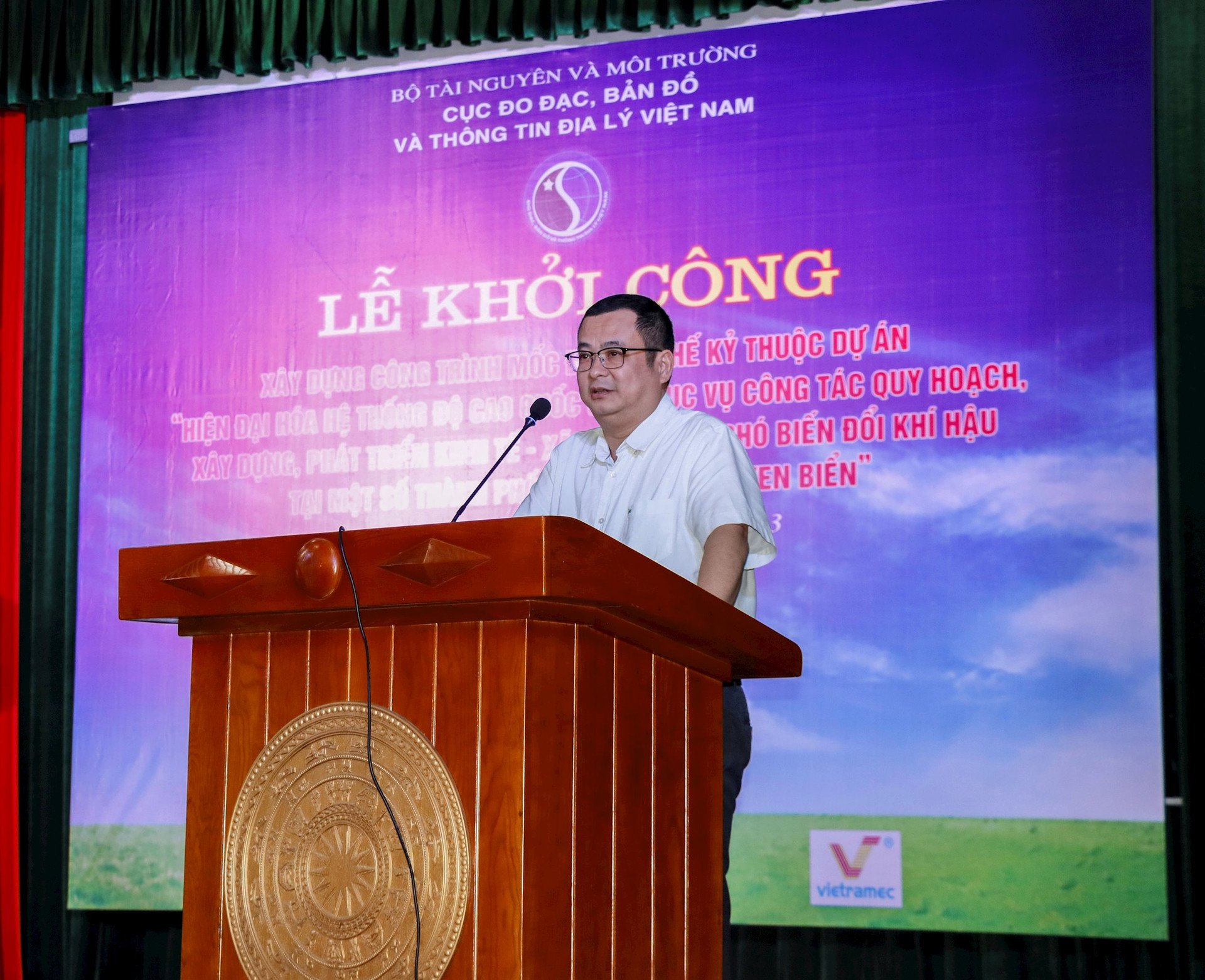
Speaking at the groundbreaking ceremony, Mr. Hoang Ngoc Huy, Deputy Director of the Department of Surveying, Mapping and Geographic Information of Vietnam, said that, in order to carry out the assigned tasks, the Department of Surveying, Mapping and Geographic Information of Vietnam has organized the project "Modernizing the national elevation system to serve the planning, construction, socio-economic development and response to climate change in a number of major cities and coastal areas" and has been approved by the Ministry of Natural Resources and Environment in Decision No. 375/QD-BTNMT dated March 1, 2022, implemented within 3 years from 2022 - 2025 and assigned to the Department of Surveying, Mapping and Geographic Information of Vietnam as the investor.
Accordingly, the Project will deploy the construction of 99 elevation markers in 40 provinces and centrally-run cities with the aim of completing and modernizing the national elevation system in a sustainable and stable manner, ensuring accurate and unified determination of the elevation of all points and locations nationwide, meeting the increasing requirements of socio-economic development, national security and defense, and response to climate change.
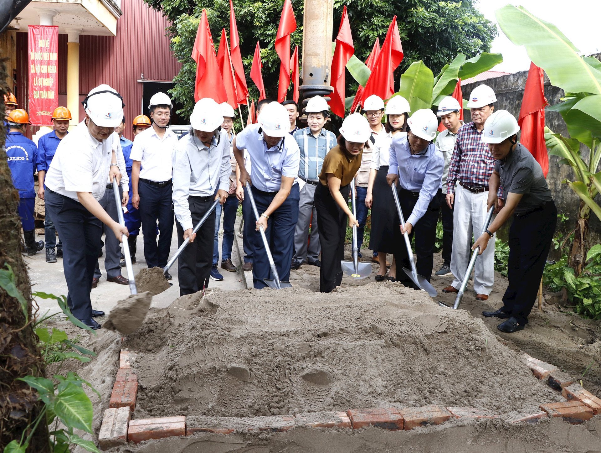
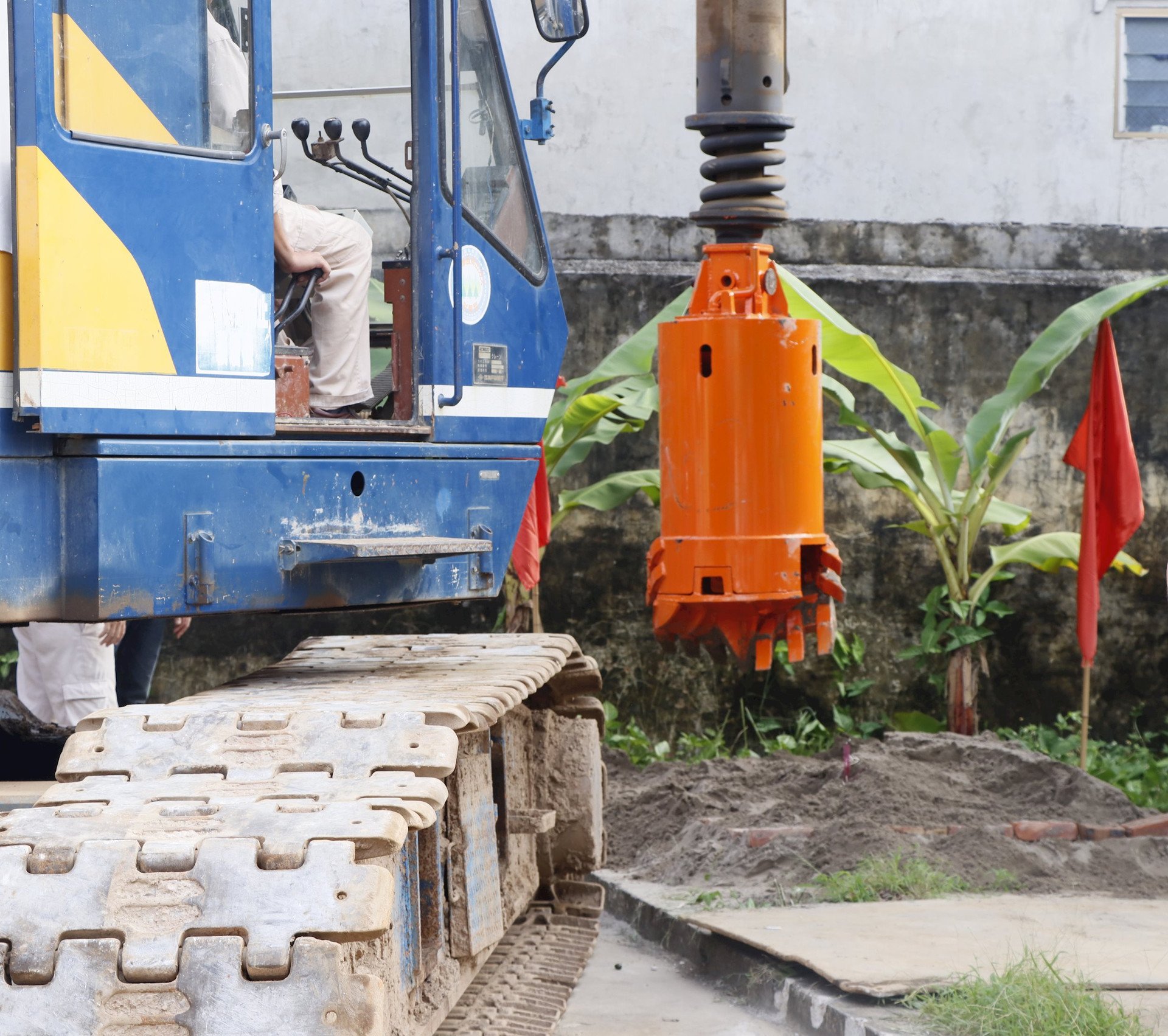
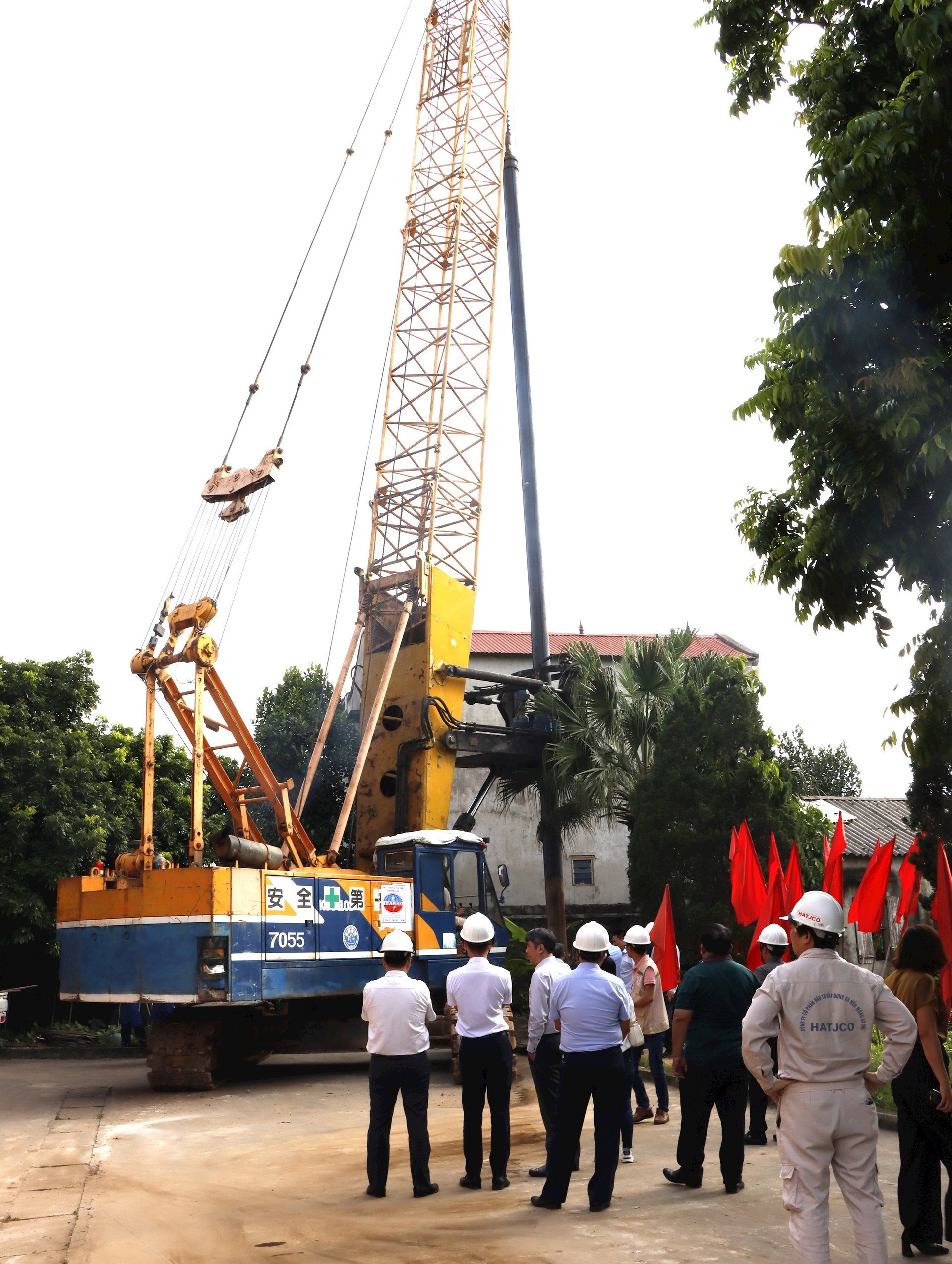
In particular, the construction of the century height marker, expected to be completed on March 12, 2025, will provide accurate height values for urban development planning and auxiliary works such as traffic systems, drainage systems, pipeline systems, etc. Thereby helping to increase the effectiveness of flood prevention and planning suitable to the terrain.
Also according to Mr. Hoang Ngoc Huy, during the construction process, the Department of Surveying, Mapping and Geographic Information of Vietnam will strictly implement the direction of the Ministry of Natural Resources and Environment, organize the assignment of management units, leaders in charge of specific items, organize inspections and close supervision during the construction process, ensure the technical and aesthetic aspects of the project and labor safety and environmental sanitation at the construction site; support and create all favorable conditions to implement the Project on schedule, with approved technical quality, and soon complete and put the project into operation and effective use.
At the Ceremony, Mr. Pham Van Huy, representative of the construction contractors, expressed his honor to participate in the construction of an important and meaningful project of the Vietnam Surveying and Mapping industry, and committed to comply with agreements, contracts and regulations on ensuring quality, progress and safety, labor hygiene and environment, striving to put the project into operation and use according to the requirements of the Project.
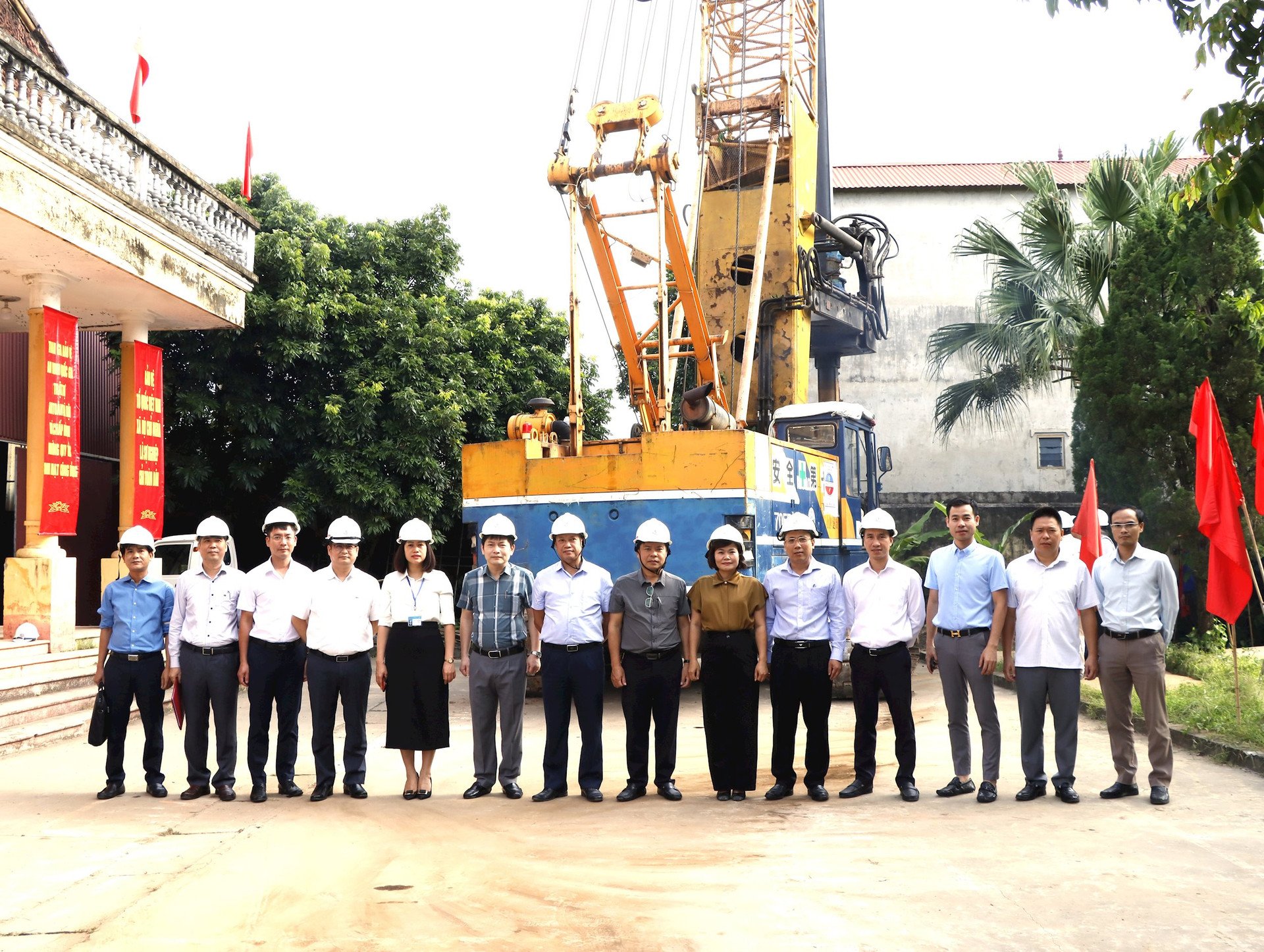
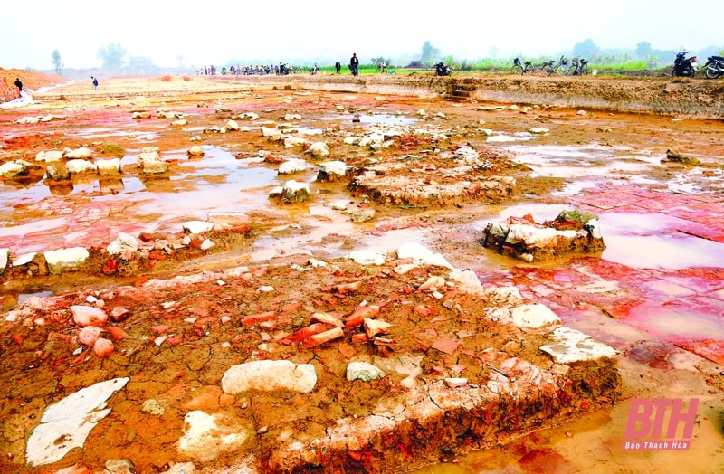
Some pictures at the ceremony:
Source


Comment (0)