
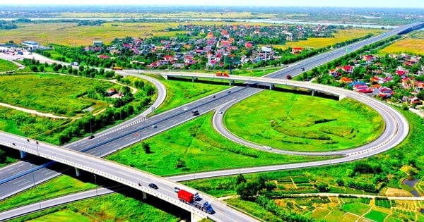
Provincial Road 582B from My Thuy Seaport to National Highway 1, over 13km long in Quang Tri province, will be adjusted to National Highway 15D.
The Ministry of Transport has just issued a Decision to adjust provincial route 582B from My Thuy Seaport to National Highway 1 into National Highway 15D and assign the Vietnam Road Administration to manage, maintain and operate.

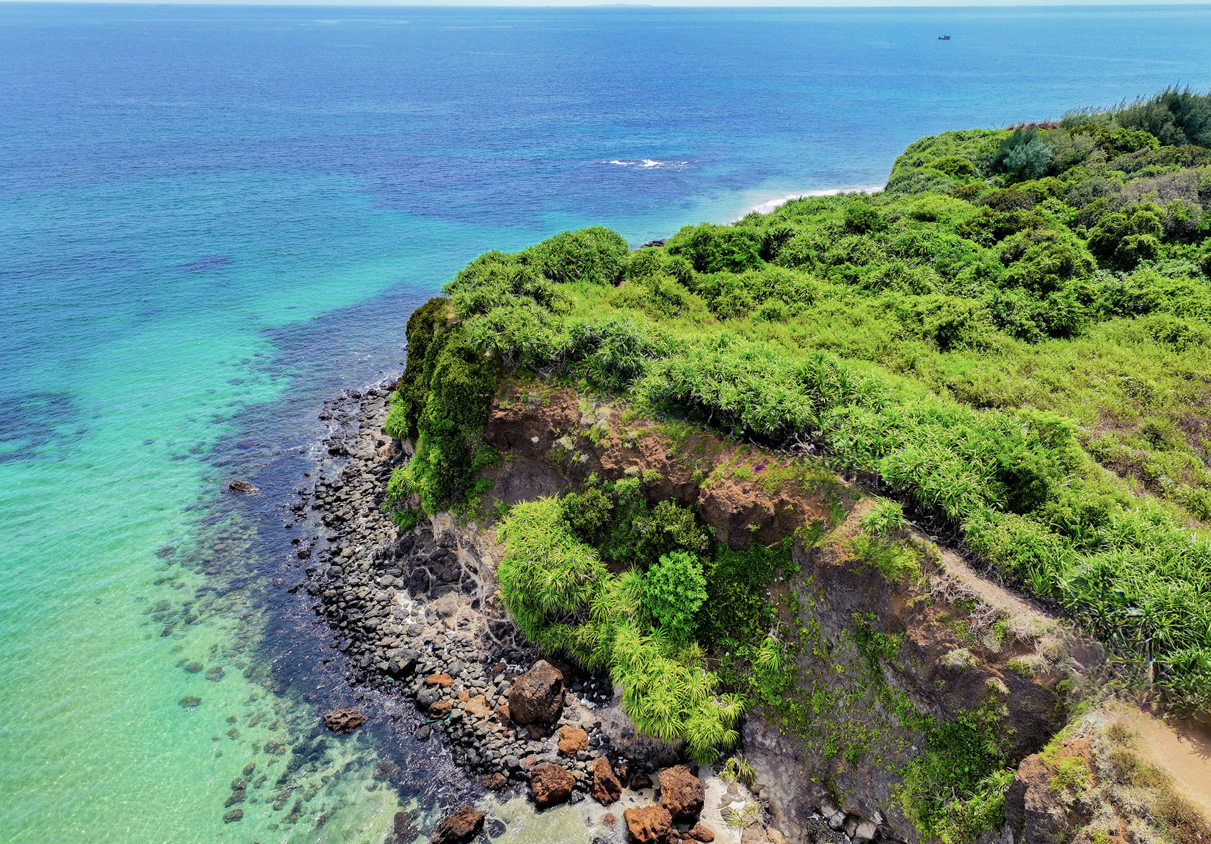
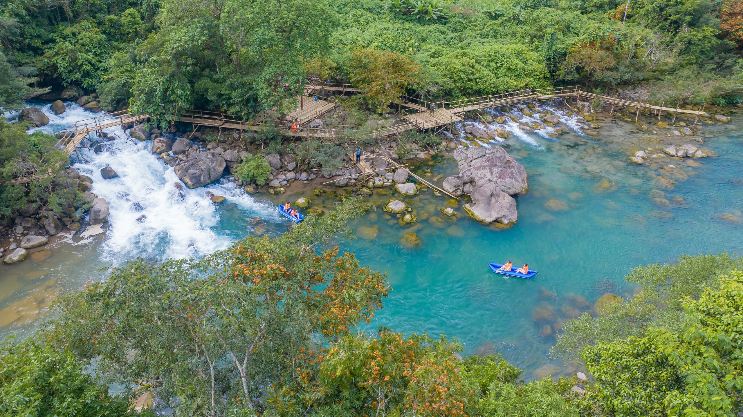
A section of Provincial Road 582B through Quang Tri.
The current National Highway 15D after adjustment includes the following sections: the section from My Thuy Seaport to National Highway 1 is about 13.8km long; the section coinciding with the West branch of Ho Chi Minh Road is 24km long; the section from the West branch of Ho Chi Minh Road to La Lay International Border Gate is 12.2km long.
The Ministry of Transport requested the People's Committee of Quang Tri province to direct the Department of Transport of Quang Tri and local authorities to coordinate with the Vietnam Road Administration to carry out procedures for transferring road infrastructure assets according to regulations; organize handover, resolve related issues, ensure that management and operation work is carried out continuously and does not affect traffic on the route.
"The Vietnam Road Administration is responsible for organizing the review and re-registration of the route and length of local roads converted into national highways, the length of National Highway 15D according to the planning and other issues related to construction safety and traffic safety on the route," the Ministry of Transport requested.
Provincial Road 582B has its starting point (Km0+00) intersecting with National Highway 1 at Km781+578, its end point connecting to My Thuy seaport and the Southeast Economic Zone of Quang Tri province, with a total length of 13.8km. Of which, the section passing through the urban area (Dien Sanh town, Hai Truong commune, Hai Lang district) is 3.1km long; the section outside the urban area is 10.7km long (through the communes of Hai Dinh, Hai Que, Hai Duong and Hai An of Hai Lang district).
Currently, the section Km0+00 - Km11+264 is a grade III Delta road; design speed 80 km/h; the section Km11+264 - Km13+800 is a grade IV road; design speed 60 km/h.
QL15D is a road connecting My Thuy Seaport, Southeast Quang Tri Economic Zone to La Lay International Border Gate, Quang Tri Province; The route is extremely important, being the main national highway of the Central region.
When the planned National Highway 15D connecting La Lay International Border Gate to My Thuy Seaport is completed, the journey will be shortened from 156km to 92km (about 64km shorter, this is the shortest road route serving the transportation of import and export goods from Laos to Vietnam's seaport system).
The completion of National Highway 15D will contribute to the completion of the regional transport system, integration into the international transport network, creating a premise for socio-economic development, a driving force for socio-economic development for the Central provinces, connecting and cooperating with the provinces of Southern Laos and Northeastern Thailand, while reducing the travel time of vehicles, improving the efficiency of exploitation and traffic safety, contributing to supporting Quang Tri province to exploit its potential, promote its strengths, and make the most of its advantages to achieve the local socio-economic development goals.
Source: https://www.baogiaothong.vn/dieu-chinh-hon-13-km-duong-tinh-582b-thanh-ql15d-192250111215847839.htm


Comment (0)