
The British Antarctic Survey (BAS), which carried out the research, released the map, called Bedmap3, last week. The map was created by combining data from aircraft, satellites, ships and snowmobiles.
According to a press release released mid-month, Bedmap3 helps scientists visualize Antarctica stripped of its massive, mile-thick ice sheet, revealing the continent's tallest mountains and deepest canyons.
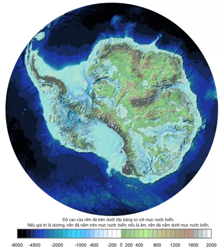
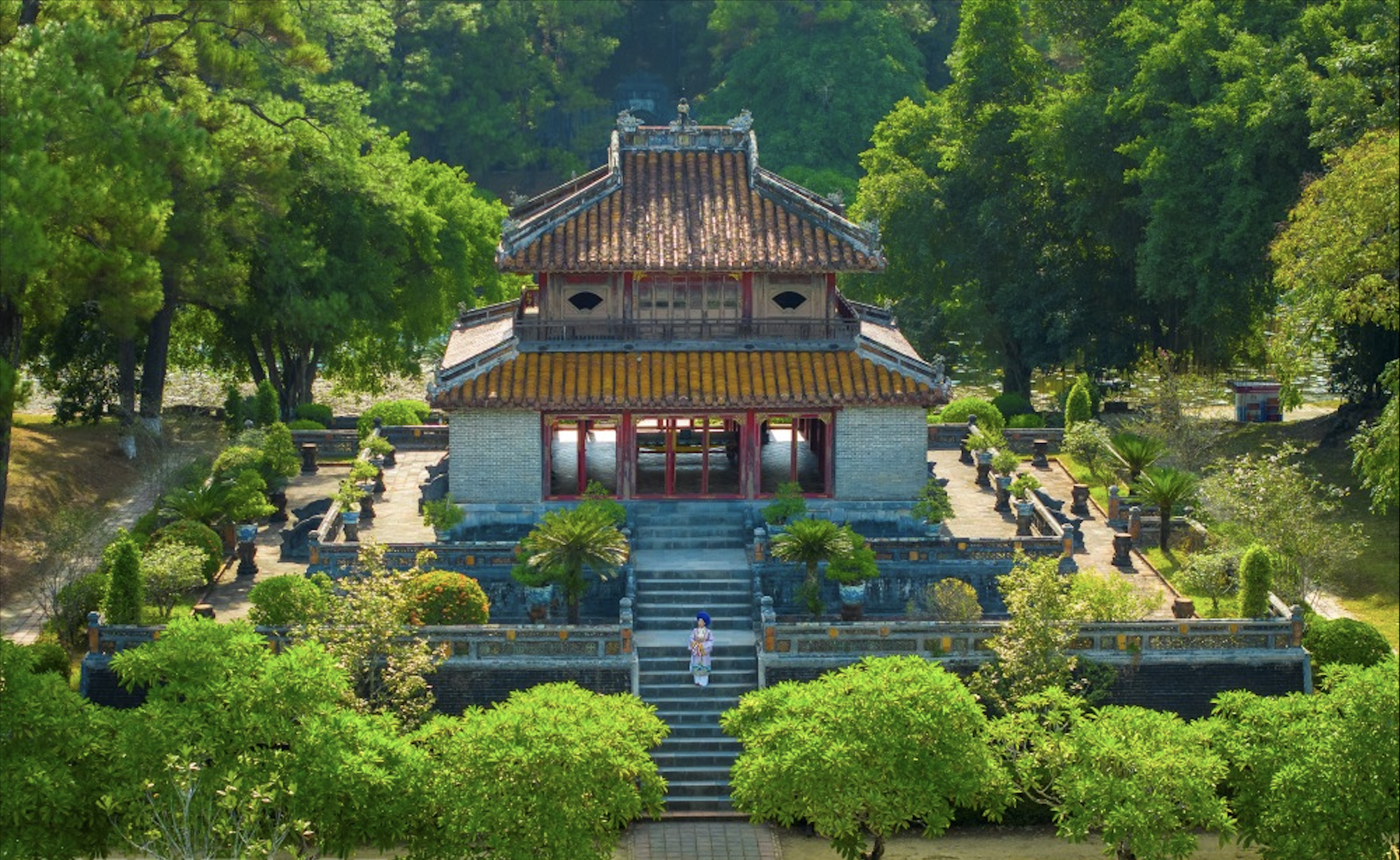
Bedmap3 is the latest map to show what Antarctica would look like without ice. Photo: BAS
Compared to Bedmap2, which was released in 2013, Bedmap3 provides twice as many data points and shows a more detailed picture of Antarctica’s valleys. Notably, the location of the thickest ice sheet has been revised. Previously, scientists thought it was in the Astrolabe Basin in Adélie Land. However, the new data shows that it is actually in an unnamed canyon in Wilkes Land, with a thickness of 4,757 m, 15 times higher than the Shard, the tallest building in the UK.
Dr Hamish Pritchard, a glaciologist at BAS and lead author of the study, said Bedmap3 was crucial in modelling how Antarctic ice would move as the Earth warms. He likened the process to pouring syrup onto a rock cake, with the rough terrain dictating the speed and direction of the ice flow.
Peter Fretwell, a mapping expert at BAS, said the new findings showed that Antarctica’s ice was thicker than previously thought, with large volumes of ice sitting on bedrock below sea level. This meant the ice was at greater risk of melting as warmer ocean water intruded into the continent’s margins.
According to NASA estimates, Antarctica is losing about 150 billion tons of ice each year due to the effects of climate change.
Ngoc Anh (according to Newsweek, NASA, Scientific Data)
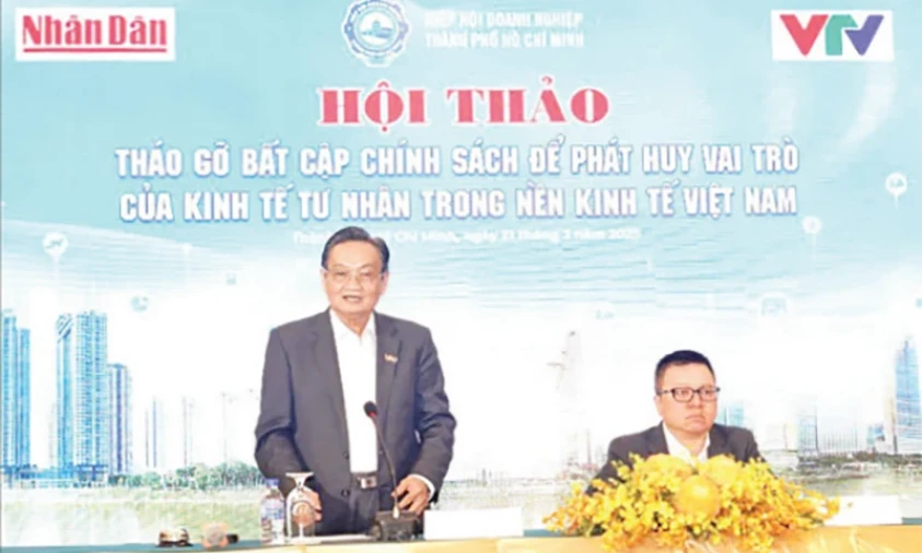
![[Photo] Overview of the Workshop "Removing policy shortcomings to promote the role of the private economy in the Vietnamese economy"](https://vstatic.vietnam.vn/vietnam/resource/IMAGE/2025/3/21/d1c58c1df227467b8b33d9230d4a7342)


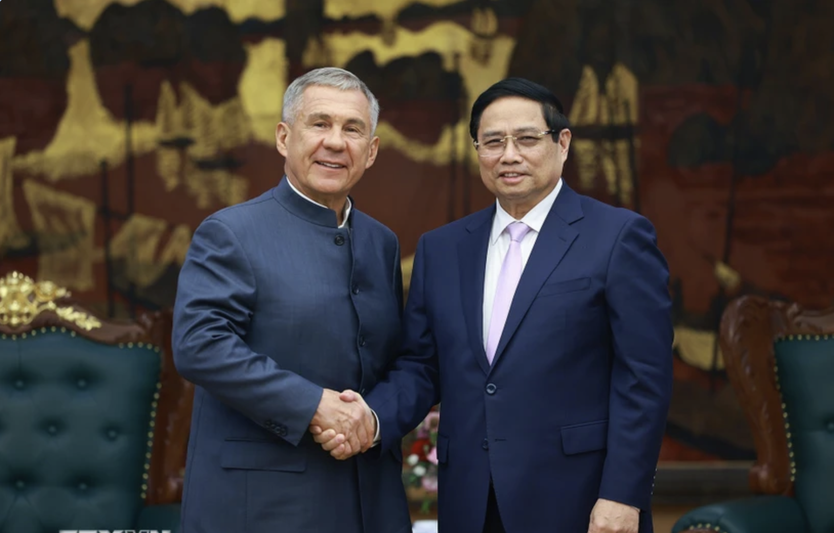
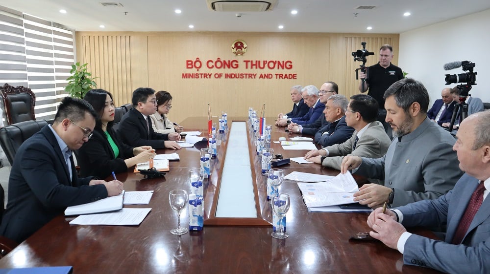
![[Photo] Prime Minister Pham Minh Chinh receives the head of the Republic of Tatarstan, Russian Federation](https://vstatic.vietnam.vn/vietnam/resource/IMAGE/2025/3/21/7877cb55fc794acdb7925c4cf893c5a1)


Comment (0)