
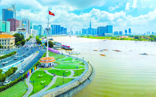
(Dan Tri) - Ho Chi Minh City will conduct a land inventory and map the current land use status in 2024, focusing on golf course land, airports, and agricultural and forestry land.
According to the plan recently issued by the Ho Chi Minh City People's Committee, land inventory will be implemented at all administrative levels with the goal of synthesizing accurate and objective data, reflecting actual land use in 2024.
In this inventory, the city government established a separate topic to inventory golf course land, airport land, landslide and alluvial areas, and land originating from agricultural and forestry farms... thereby creating a basis for strengthening management and improving land use efficiency for these types of land.

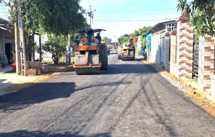
An old factory land in District 10 (HCMC) has expired its land lease and is being reclaimed to build a school (Photo: Ngoc Tan).
The inventory objects will include land area, land users or land management assigned. The Department of Natural Resources and Environment will place orders or bid to select a consulting unit to conduct land statistics and inventory.
The Department will also preside over and guide localities in organizing data collection, checking, accepting inventory results and making maps. The inventory will apply modern technology to ensure accuracy and consistency.
According to the roadmap, the People's Committees of wards and communes must complete the report before June 1, and the People's Committees of districts must complete it before June 15. All inventory results will be compiled and reported to the Ministry of Natural Resources and Environment before June 30.
Land inventory is a measure to help Ho Chi Minh City have an overall view of the land use status in the past 5 years, thereby improving land use efficiency; at the same time, it is the basis for adjusting land use planning and plans at all levels for the period 2021-2030, with a vision to 2050.
Source: https://dantri.com.vn/xa-hoi/tong-kiem-ke-dat-dai-san-golf-tai-tphcm-20250318204415430.htm


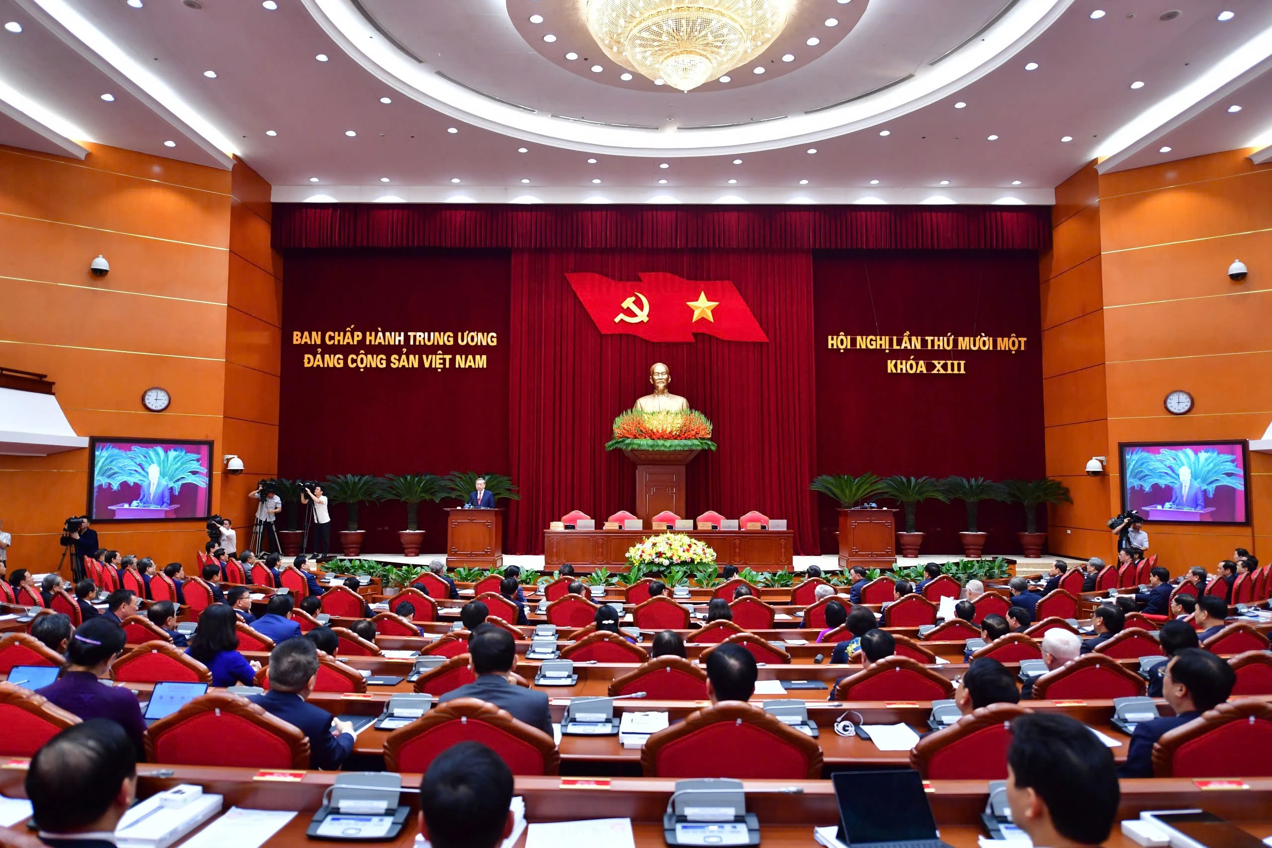
![[Photo] Closing of the 11th Conference of the 13th Central Committee of the Communist Party of Vietnam](https://vstatic.vietnam.vn/vietnam/resource/IMAGE/2025/4/12/114b57fe6e9b4814a5ddfacf6dfe5b7f)


![[Photo] Overcoming all difficulties, speeding up construction progress of Hoa Binh Hydropower Plant Expansion Project](https://vstatic.vietnam.vn/vietnam/resource/IMAGE/2025/4/12/bff04b551e98484c84d74c8faa3526e0)


Comment (0)