
Weather forecast for Hanoi in the next 3 days (February 13-15), cold air will increase with light rain, the weather will turn cold; after 1 day, drizzle and fog will return.
According to the National Center for Hydro-Meteorological Forecasting, in Hanoi , in the next 3 days (February 13-15), cold air will flow in, the weather will turn cold; combined with strong westerly winds in the upper air, there will be light rain, drizzle and fog.
Specifically, this morning (February 13), the capital Hanoi area is cloudy with rain and light rain; the morning and night of February 15 will have light rain, drizzle and fog.
Experts predict that in the next 3 days, the weather will be cold with the highest daytime temperature ranging from 18-22℃, and the lowest at night 15-19℃.
In addition, the meteorological agency said that today and tonight, cold air will affect the Northeast, North Central and some places in the Northwest. The wind inland will change to the Northeast at level 2-3, and coastal areas at level 3.
In the North and North Central regions, the weather continues to be cold, with some mountainous areas in the North experiencing severe cold. The lowest temperature during this cold spell in the North is generally 14-16 degrees Celsius, in the highlands 11-13 degrees Celsius, and in some places below 10 degrees Celsius; in the North Central region 15-18 degrees Celsius.
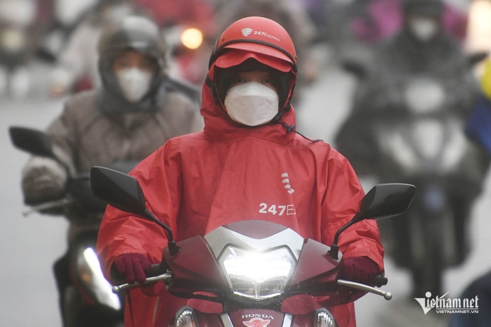
Hanoi area is cold. The lowest temperature in this cold air mass is commonly 14-16 degrees.
Due to the influence of cold air strengthening combined with strong currents in the upper westerly wind zone, this morning, the Northeast and North Central regions will have scattered rain and light rain.
Weather in Hanoi capital in the next 3 days (February 13-15) :
| Day | Day (7am-7pm) | Night (7pm-7am) |
| 13/2 | Cloudy, rain in the morning, light rain, no rain later. Northeast wind level 2-3. Cold weather. | Cloudy, no rain. Northeast wind force 2-3. Cold. |
| 14/2 | Cloudy, no rain. Light wind. Cold. | Cloudy, light rain, drizzle and fog in the early morning. Light wind. Cold. |
| 15/2 | Cloudy with light rain, drizzle and fog in the morning. Light wind. Cold. | Cloudy with light rain. East wind force 2-3. Cold. |
Weather forecast for the next 10 days: The North will welcome 2 more cold air waves with rain
Tropical depression likely to form in southern sea, Ho Chi Minh City has unseasonal rain
Source: https://vietnamnet.vn/thoi-tiet-ha-noi-3-ngay-toi-khong-khi-lanh-tran-ve-ret-kem-mua-lai-rai-2370869.html


Comment (0)