
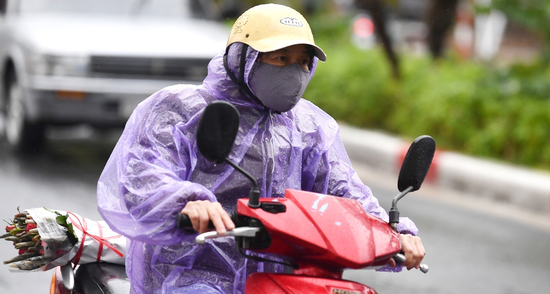
According to the National Center for Hydro-Meteorological Forecasting, during the day and night of September 4, rain and thunderstorms will cover areas across the country, with the possibility of tornadoes, lightning and strong gusts of wind.
From September 4-5, the Southern Central Highlands and the Southern region will have moderate rain, heavy rain, some places will have very heavy rain and scattered thunderstorms; rainfall from 30-70mm, some places will have over 110mm. The Northern Central Highlands and from Da Nang to Binh Thuan will have showers and thunderstorms, locally heavy to very heavy rain; rainfall from 20-50mm, some places will have over 100mm.
Specifically, from 7:00 a.m. on September 4 to 7:00 p.m. on September 5, the Southern Central Highlands and the South will have rainfall of 30-70 mm, with some places having over 110 mm. Warning, from September 6, thunderstorms and localized heavy rain in the Central Highlands and the South may continue for many days to come. The level of risk of natural disasters due to heavy rain, tornadoes, lightning, and hail is level 1.
Mountainous areas are at risk of flash floods, landslides and flooding in low-lying areas. Heavy rain in a short period of time can cause flooding in urban areas. Thunderstorms can cause tornadoes, lightning, hail and strong gusts of wind.
The coastal areas of the Southwest need to be on guard against thunderstorms, tornadoes and strong gusts of wind.
At sea, day and night of September 4, the northeastern sea area of the North East Sea has strong southwest winds of level 6-7, gusting to level 8-9, the wind gradually decreases at night. The sea is rough, waves are 3-5m high.
The sea area south of the central East Sea, the sea area north of the South East Sea (including the sea area north of Truong Sa area) and the sea area from Ninh Thuan to Ca Mau has southwest wind level 6, gusting to level 7-8. Rough sea, waves 2-3.5 m high.
Sea area from Ca Mau-Kien Giang, Gulf of Thailand, Southwest wind level 5, sometimes level 6, gusting to level 7. Rough sea, waves 1.5-2.5 high.
In addition, on the day and night of September 4, the Gulf of Tonkin, the sea area from Binh Thuan to Ca Mau, Ca Mau to Kien Giang, the Gulf of Thailand, the eastern area of the North East Sea, the central and southern East Sea (including the sea area of Truong Sa) will have showers and thunderstorms, with the possibility of tornadoes and strong gusts of wind.
Warning, during the day and night of September 5, the northeastern sea area of the North East Sea will have strong winds of level 6, sometimes level 7 during the day, gusting to level 8-9, rough seas; waves 3-5m high. The southern sea area of the central East Sea, the northern sea area of the South East Sea (including the northern sea area of Truong Sa), the sea area from Ninh Thuan to Ca Mau will have strong southwest winds of level 6, gusting to level 7-8 during the day, the wind will gradually decrease at night; rough seas; wave heights in these sea areas will fluctuate between 2-3.5m.
The risk level of natural disasters due to strong winds at sea is level 2. The northeastern sea area of the North East Sea is level 3.
All vessels and other activities in the above sea areas are at high risk of being affected by strong winds and large waves.
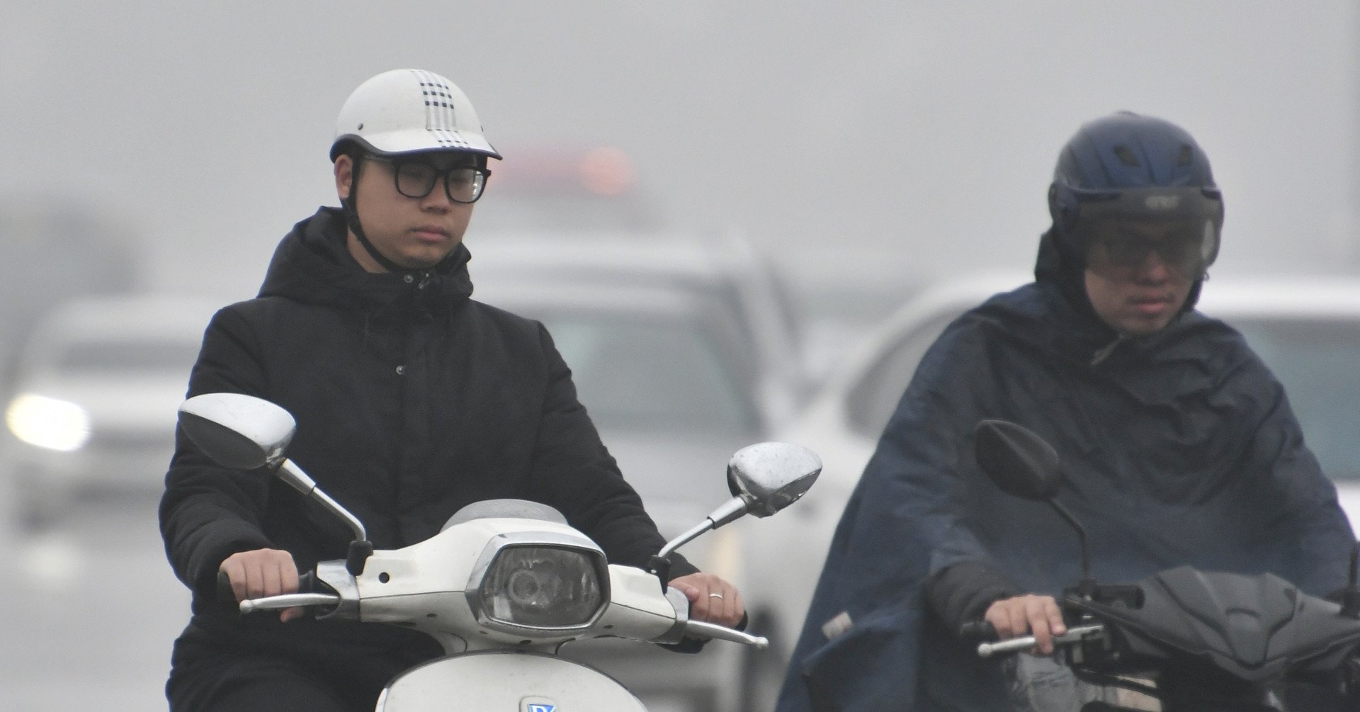
Weather in the regions during the day and night of September 4: The Northwest region has scattered showers and thunderstorms, with the possibility of tornadoes, lightning and strong gusts of wind. Light wind. Lowest temperature 21-24 degrees Celsius, some places below 20 degrees Celsius; highest 29-32 degrees Celsius, some places above 32 degrees Celsius.
The Northeast region has scattered showers and thunderstorms, with the possibility of tornadoes, lightning and strong gusts of wind. North to Northeast winds level 2-3. Lowest temperature 23-26 degrees Celsius, mountainous areas 20-23 degrees Celsius; highest 28-31 degrees Celsius, some places over 31 degrees Celsius.
Hanoi capital has scattered showers and thunderstorms. North to Northwest wind level 2-3. Lowest temperature 24-26 degrees Celsius, highest 29-31 degrees Celsius.
From Thanh Hoa to Thua Thien-Hue, the North has scattered showers and thunderstorms; the South has scattered showers and thunderstorms, especially in the late afternoon and evening, scattered showers and thunderstorms, locally with moderate to heavy rain, with the possibility of tornadoes, lightning and strong gusts of wind during thunderstorms. Northwest to West wind level 2-3. Lowest temperature 23-26 degrees Celsius, highest 31-34 degrees Celsius.
The provinces from Da Nang to Binh Thuan will have scattered showers and thunderstorms in some places. In the late afternoon and evening, there will be scattered showers and thunderstorms, locally with moderate to heavy rain. During thunderstorms, there is a possibility of tornadoes, lightning and strong gusts of wind. West to Southwest wind level 2-3. Lowest temperature 25-28 degrees Celsius, highest 32-35 degrees Celsius.
The Central Highlands and the South will have moderate to heavy rain, some places will have very heavy rain and scattered thunderstorms, with the possibility of tornadoes, lightning and strong gusts of wind. Southwest wind level 2-3. The lowest temperature in the Central Highlands is 20-23 degrees Celsius, the highest is 27-30 degrees Celsius. The lowest temperature in the South is 23-26 degrees Celsius, the highest is 29-32 degrees Celsius, some places are over 32 degrees Celsius./.
Thang Trung (VietnamPlus)
Source link


Comment (0)