
A warning of exceptionally large floods on the Red River was just issued by the National Center for Hydro-Meteorological Forecasting on the evening of September 9.

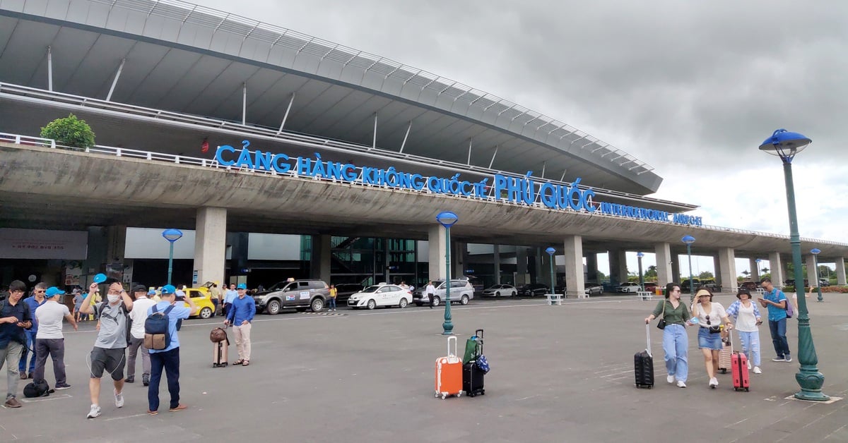
Flood on the Red River in Yen Bai
According to forecasts, in the next 6-12 hours, the flood on Luc Nam River will continue to fall below alert level 3. On Lo River in Tuyen Quang and Vu Quang, the flood will continue to rise rapidly above alert level 2.
In particular, floods on the Red River in Lao Cai and Yen Bai continued to rise and remain above level 3, above the historical flood levels of 1968 and 2008.
Floods on the Red River in Phu Tho continue to rise to level 1. Floods on the Cau River continue to rise above level 2, the Thuong River rise to level 3 and the Thai Binh River continue to rise above level 1.
Notably, floods on the Red River in Hanoi continue to rise rapidly but remain below level 1.
In the next 12-24 hours, the flood on Luc Nam River will drop to level 2. The flood on Lo River in Tuyen Quang and Vu Quang will continue to rise rapidly above level 2.
Floods on the Red River in Lao Cai and Yen Bai will change slowly, remaining at level above BĐ3, above the historical flood levels of 1968 and 2008.
Floods on the Red River in Phu Tho continue to rise above level 1. Floods on the Cau River continue to rise above level 3, the Thuong River rise above level 3 and the Thai Binh River continue to rise above level 2.
On the night of tomorrow, September 10, the flood on the Red River in Hanoi continues to rise rapidly at level BĐ1.
Hanoi at risk of flooding in inner city districts
Warning from the National Center for Hydro-Meteorological Forecasting, from now until September 11, there will be a flood on other rivers in the Northern region. During this flood, the flood peak on small rivers in the northern mountainous provinces, especially in the provinces of Lang Son, Cao Bang, Bac Kan, Bac Giang, Lao Cai, Yen Bai, Hoa Binh, Son La will reach level 2 - 3, with some rivers above level 3.
Due to rising floodwaters, there is a risk of flooding and the possibility of other natural disasters. Some areas in many provinces and cities are at high risk of flooding, including: districts: Van Chan, Tran Yen, Van Yen, Luc Yen, Yen Binh, Tram Tau, Yen Bai city (Yen Bai province); Bac Giang city and districts: Hiep Hoa, Viet Yen, Luc Ngan, Lang Giang, Luc Nam (Bac Giang province); Thai Nguyen city, Song Cau city, Pho Yen town, districts: Phu Luong, Phu Binh, Dong Hy (Thai Nguyen province); Bac Ninh city, Yen Phong district (Bac Ninh province); districts: Tan Son, Thanh Son, Tam Nong, Yen Lap, Ha Hoa, Thanh Ba, Cam Khe, Lam Thao (Phu Tho province); districts: Ham Yen, Chiem Hoa (Tuyen Quang); districts: Tay Ho, Long Bien, Hoan Kiem, Gia Lam district (Hanoi city)
Floods on rivers and streams also cause flooding in low-lying areas along the river, many sandbanks in the middle of the river are deeply flooded, affecting activities such as water transport, aquaculture, agricultural production, people's lives and socio-economic activities in the downstream areas of Lo River and Red - Thai Binh River.
Flood water levels downstream of the Red River - Thai Binh River remain high for many days, which can cause landslides along the river and affect the safety of dikes along the river in the Red River - Thai Binh Delta.
Thanhnien.vn
Source: https://thanhnien.vn/lu-song-hong-sap-vuot-dinh-lich-su-ha-noi-nguy-co-ngap-cac-quan-noi-thanh-185240910002854665.htm


![[Photo] Prime Minister Pham Minh Chinh receives the head of the Republic of Tatarstan, Russian Federation](https://vstatic.vietnam.vn/vietnam/resource/IMAGE/2025/3/21/7877cb55fc794acdb7925c4cf893c5a1)
![[Photo] Overview of the Workshop "Removing policy shortcomings to promote the role of the private economy in the Vietnamese economy"](https://vstatic.vietnam.vn/vietnam/resource/IMAGE/2025/3/21/d1c58c1df227467b8b33d9230d4a7342)


Comment (0)