
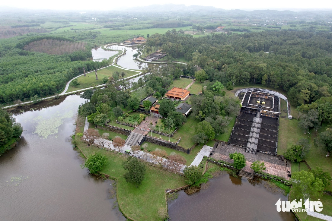
The impact of storm No. 3 and the flood discharge from hydroelectric reservoirs has caused the water level of Chay River and Lo River in Doan Hung District to continuously rise in recent days, causing flooding, dike overflow, and damage to buildings and houses.

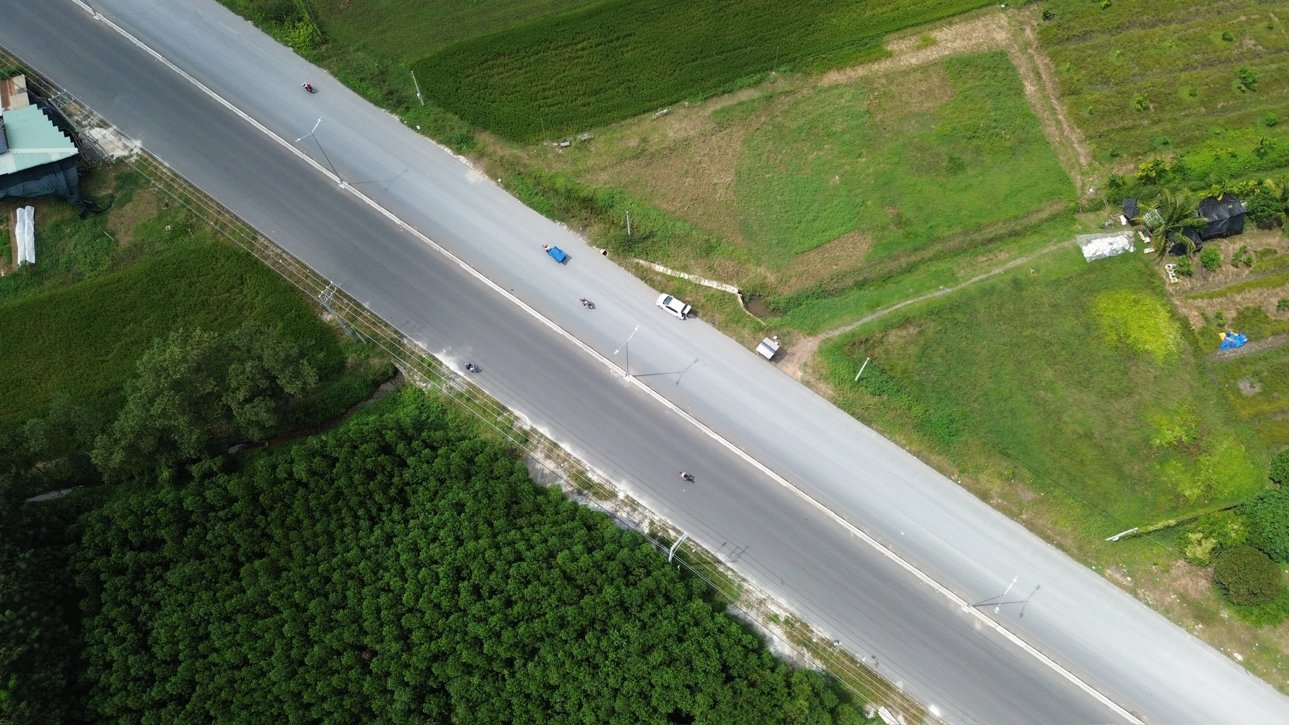
Forces and people of Doan Hung town are urgently building dams to block floods and prevent water from flowing through Cau Te stream to National Highway 2.
From 11pm on September 10 to noon on September 11 alone, in addition to the incident of the Lo dike breaking at the culvert crossing the dike bordering Quyet Thang commune (Son Duong district, Tuyen Quang province) and Hop Nhat commune (Doan Hung), 20 households with 80 people in Ho Xanh area, Hop Nhat commune had to be urgently evacuated. Prolonged heavy rain and high Lo river caused Soc Dang commune to evacuate 3 more households with 11 people in areas 4 and 5 due to flooding; Bang Luan commune evacuated 7 more households due to landslides of 4 households in areas 5 and 7 with a volume of about 2,000m3, bringing the total number of evacuated households in Doan Hung district to 441 households with 1,549 people so far.
In addition, in Minh Luong commune, 33 households were affected by landslides on the positive slope with a volume of 2,110m3; in Phuc Lai commune, 8 households were slightly affected by landslides on the positive slope with a volume of about 600m3; in Ngoc Quan commune, the slope collapsed into the ditch in area 11 with an estimated volume of about 30m3, and the commune has mobilized forces to complete the repair.

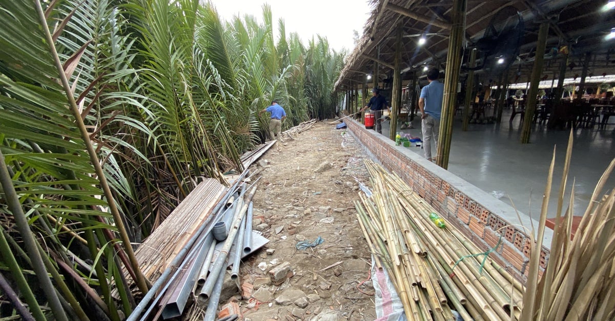
With the motto "4 on-site", Chi Dam commune concentrates materials at key culverts, ready to deploy measures to overcome incidents.
In addition to affecting households, heavy rain lasting from the night of September 10 to noon on September 11 caused National Highway 70 through Minh Luong commune to have a positive slope landslide at KM 21+500, breaking an electric pole (which has been restored). Also in Minh Luong commune, Provincial Road 319 had a positive slope landslide through Zone 1 and Zone 5 with a volume of landslides of about 200m3; some commune and zone roads had landslides with a volume of about 1,000m3; the road through Zone 6 and Zone 8 was flooded and warning signs were placed.
Records on the morning of September 11 in localities along the Huu Lo dike showed that: In Chi Dam commune, flood water was 1.7m above the dike surface, with 2 locations showing bubbling veins, the commune had finished gathering materials at key culverts. In Soc Dang commune, flooding occurred in areas 2 and 5, making travel difficult. In Hung Long commune, 4 culverts across the dike were broken, 3 have been repaired, and the culvert in Tien Phong area is being repaired.
At 1:30 p.m. on September 11, the Lo River continued to rise. The Steering Committee for Flood and Storm Prevention and Control of Doan Hung district mobilized the Army, Police, and Militia forces of neighboring communes to coordinate with the local forces of Doan Hung town to build a flood barrier, preventing water from passing through Cau Te stream to National Highway 2. Outside Doan Hung town, in Vu Quang commune, at the beginning of the afternoon of September 11, the flood water was about 21m, above BD3 0.50m, the large dike area was at risk of overflowing, the locality was mobilizing forces from the whole commune to focus on preventing overflow.
Dinh Vu
Source: https://baophutho.vn/doan-hung-huy-dong-luc-luong-tap-trung-dap-dap-chan-lu-tai-thi-tran-doan-hung-va-xa-vu-quang-218814.htm


Comment (0)