
Remote warning
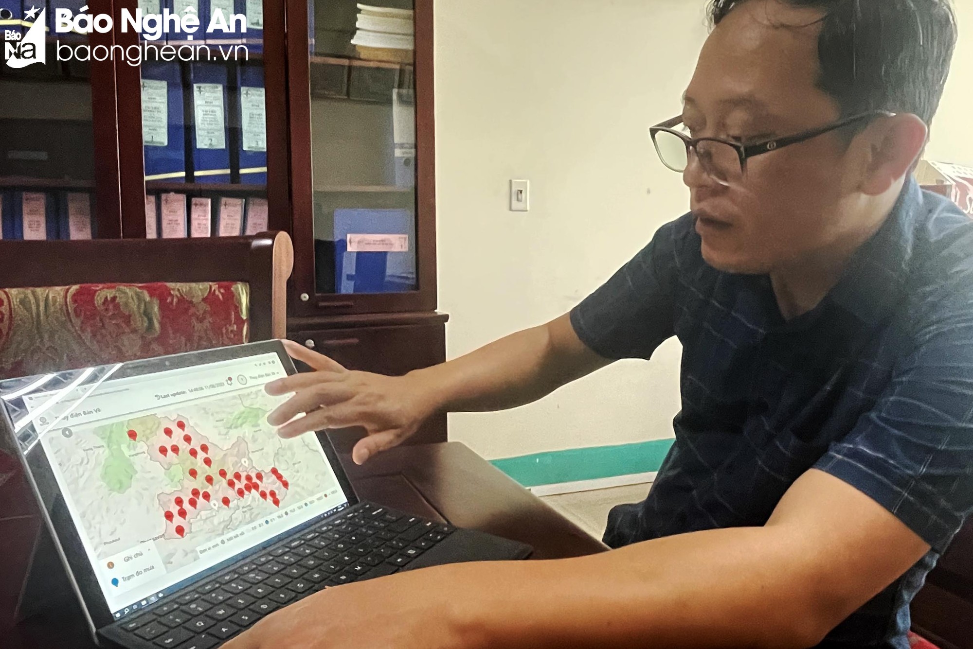
Engineer Nguyen Van Ngoc - in charge of hydrology at Ban Ve Hydropower Company and some other young engineers led us and introduced the importance of the automatic rain monitoring system: Before 2018, due to the lack of an automatic rain monitoring system, during the rainy season in Laos (often out of phase with Vietnam), the unit could not update the water flow to the reservoir accurately. Meanwhile, the basin of Ban Ve Hydropower Reservoir has a total area of 8,700 km 2 , and most of this area is located in Laos. Without accurate data on rainfall, the water flow to the reservoir will cause difficulties in reservoir operation and flood prevention.
Remember, around the end of August 2018, a major flood occurred upstream of Nam Non, on satellite cloud images only dense clouds were seen, but due to the lack of accurate rainfall data, it made proactive prevention and control work difficult. Therefore, in just a short time, by the afternoon of August 31, the flood caused 230 households in Tuong Duong district to be urgently evacuated, of which, 7 households had their houses completely washed away; Ban Ve bridge and 4 school buildings and 1 commune People's Committee headquarters were deeply flooded...
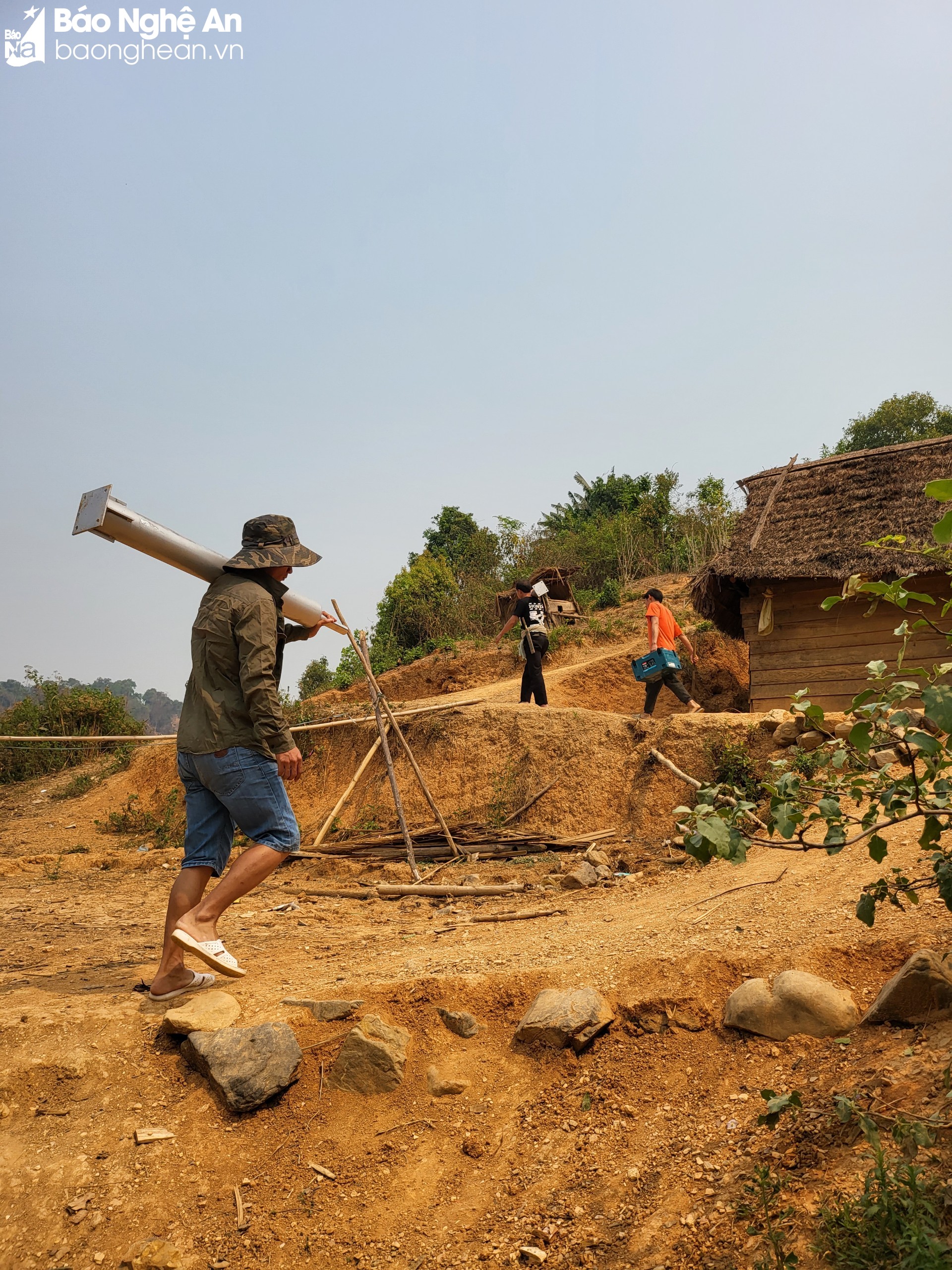
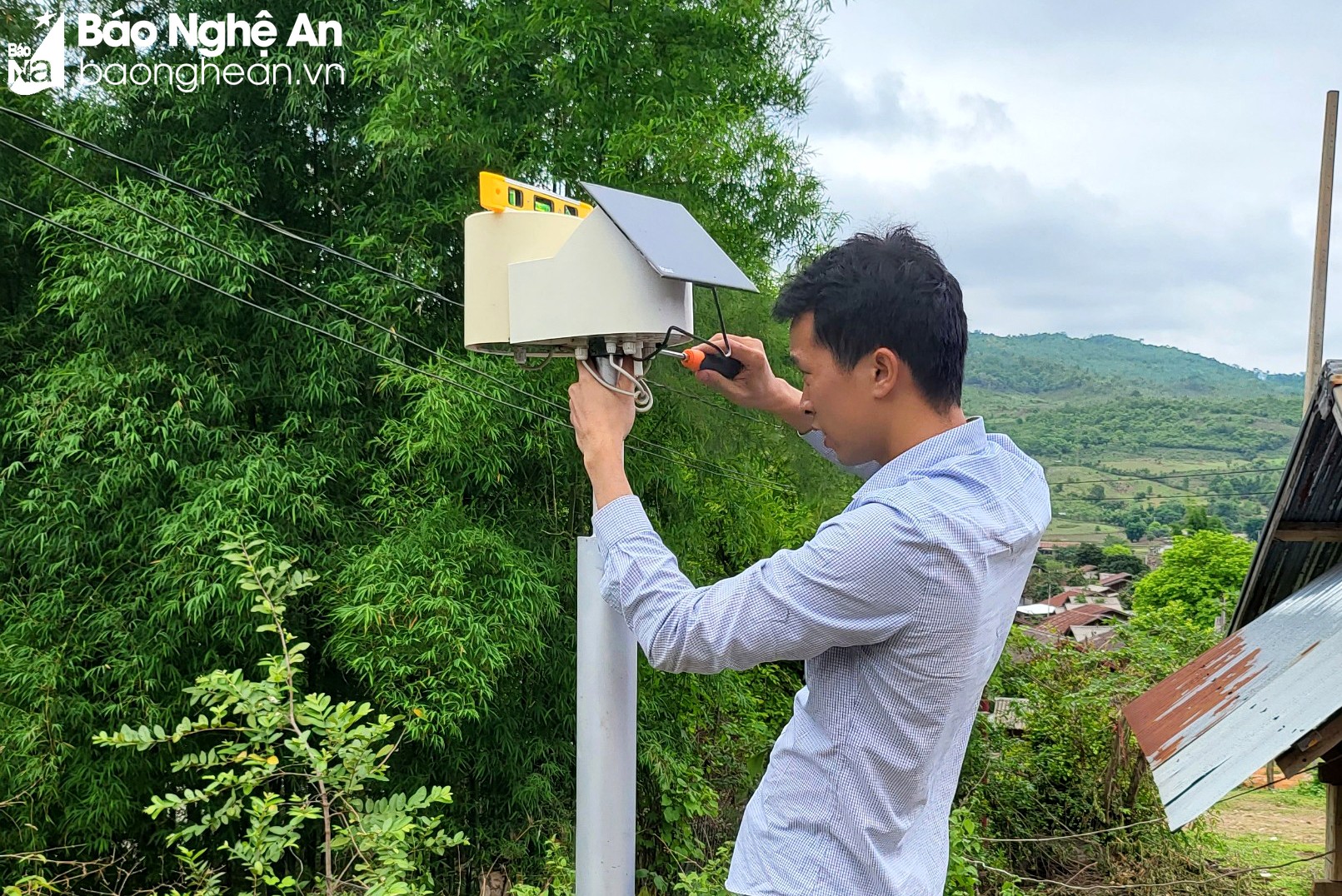
“After the big flood in late August 2018, Ban Ve Hydropower Company decided to install 4 pilot automatic rain monitoring stations around the plant area. Then, based on the basin map, the company coordinated with the North Central Hydrometeorological Station to select locations and survey to install suitable measuring points. Up to now, in addition to 13 monitoring stations in Vietnam located upstream of Ban Ve Hydropower Reservoir, the unit also purchased monitoring data from 22 monitoring stations located in neighboring Laos,” shared engineer Ngoc.
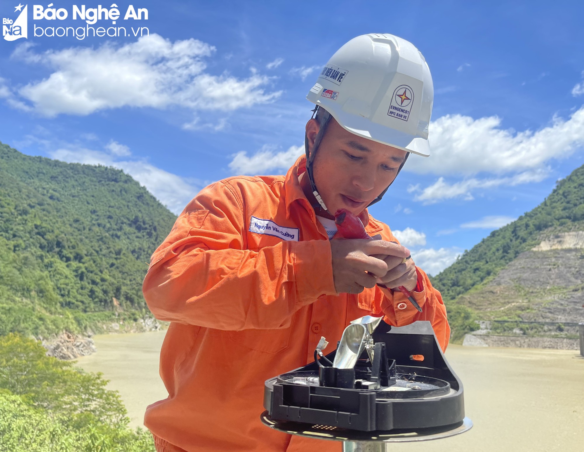
Although it is only a small device, installed on the roof, the rain monitoring data is continuously transmitted every hour, timely during the flood season, playing a very important role in flood forecasting and warning to respond to and mitigate natural disasters. From the automatic monitoring stations, after the rain, the device will measure the rainfall and then periodically transmit data every hour to the North Central Hydrometeorological Station, after that, the meteorological and hydrological experts will use professional measures to analyze, calculate the flow, the time of water flowing into the reservoir, then provide the calculated data to Ban Ve Hydropower Plant and other functional agencies.
Currently, according to engineer Ngoc, not counting the monitoring stations located near the Ban Ve Hydropower Dam, if calculated from the nearest station located at the People's Committee of Huu Khuong Commune (Tuong Duong), to the farthest station in Vietnam located at the People's Committee of Keng Du Commune (Ky Son), the length is about 80-90 km. Thanks to the automatic monitoring stations, rainfall data will be transmitted automatically in real time, which will improve the efficiency of forecasting, warning, and early detection of the possibility of sudden floods, especially in mountainous areas and upstream. Early warning information about floods and floods occurring in a short time plays an important role in the operation and regulation to ensure the safety of reservoirs as well as planning for flood prevention and control downstream.
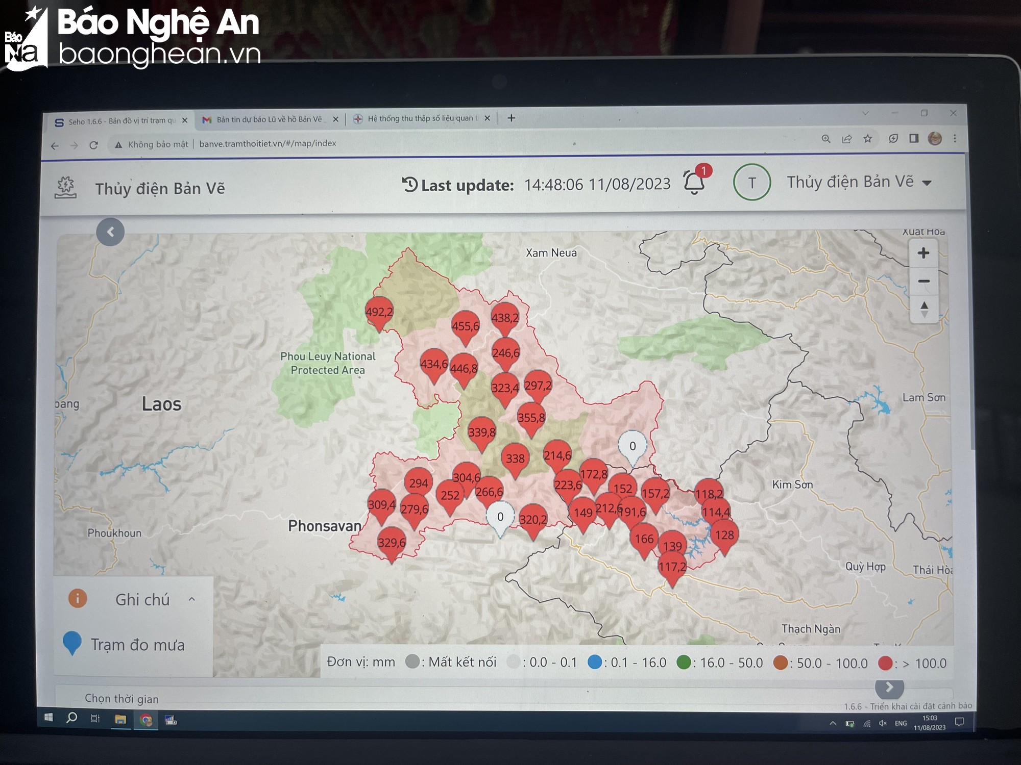
Engineer Ngoc cited evidence of the effectiveness of having automatic monitoring data. Especially in recent years, flood regulation and prevention work has always been carried out effectively. Most recently, from August 3-9, 2023, according to monitoring results, the rain at Nam Non point (in Hua Phan province, Laos) was measured at 492mm, while stations in Vietnam such as Mai Son commune (Tuong Duong) measured rainfall of only 157mm, Huu Khuong commune (Tuong Duong) was 114mm. That shows that a major flood occurred upstream of Nam Non. As of August 11, 2023, the water level at Ban Ve Hydropower Reservoir was measured at 187.11m, compared to 158m before the flood, which is nearly 30m higher. Without an automatic monitoring station, when floods come, it will be difficult to operate reservoirs and cut floods to ensure safety for downstream areas.
Increase monitoring network density
Engineer Nguyen Van Ngoc also said that to ensure the monitoring equipment operates effectively, before the flood season, Ban Ve Hydropower Company sends staff to check the operating status and maintain the equipment to ensure that the monitoring information gives reliable results. If any data is unusual, collaborators will be asked to check. Because the monitoring stations must be located in populated areas with phone signals, there were times when travel between Vietnam and Laos was difficult due to the impact of the Covid-19 pandemic, so they had to ask a team of collaborators to check and maintain the equipment. In 2023 alone, Ban Ve Hydropower Company conducted inspections from April 11 to 27.
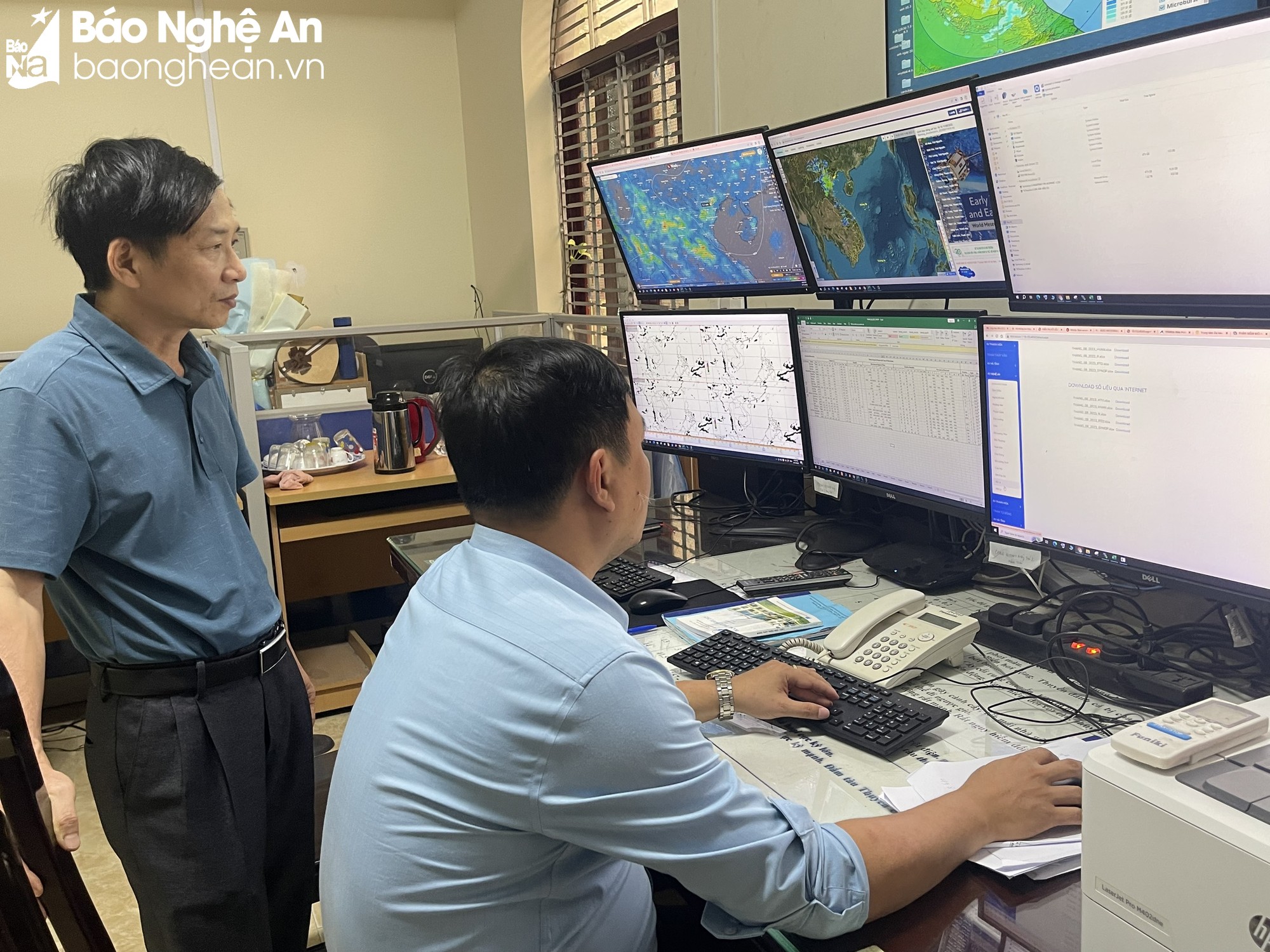
To better understand the current automatic rain monitoring system, we also met with Dr. Nguyen Xuan Tien - Deputy Director of the North Central Hydrometeorological Station. According to Mr. Tien, rain is the input data source for flood forecasting. For tropical regions like our country, the main cause of floods is rain. Before 2019, only satellite cloud images were used to forecast rain, so the accuracy was not high, with many errors. The most typical example was the flash flood on the Nam Non River in 2018 that caused great damage.
After 2019, the data sent by automatic rain monitoring stations has brought extremely valuable values. Not only forecasting rain and floods, but the data also helps to evaluate rain forecasts, serving as a measure to verify erratic weather forecasts and warnings. In particular, the data is stored for an increasingly long time, which will help in calculating, operating reservoirs and building flood prevention and control scenarios. Because if there is a long data series, the hydrological calculation for this reservoir will be more realistic, at the same time, helping to regulate water resources reasonably to serve production and daily life.
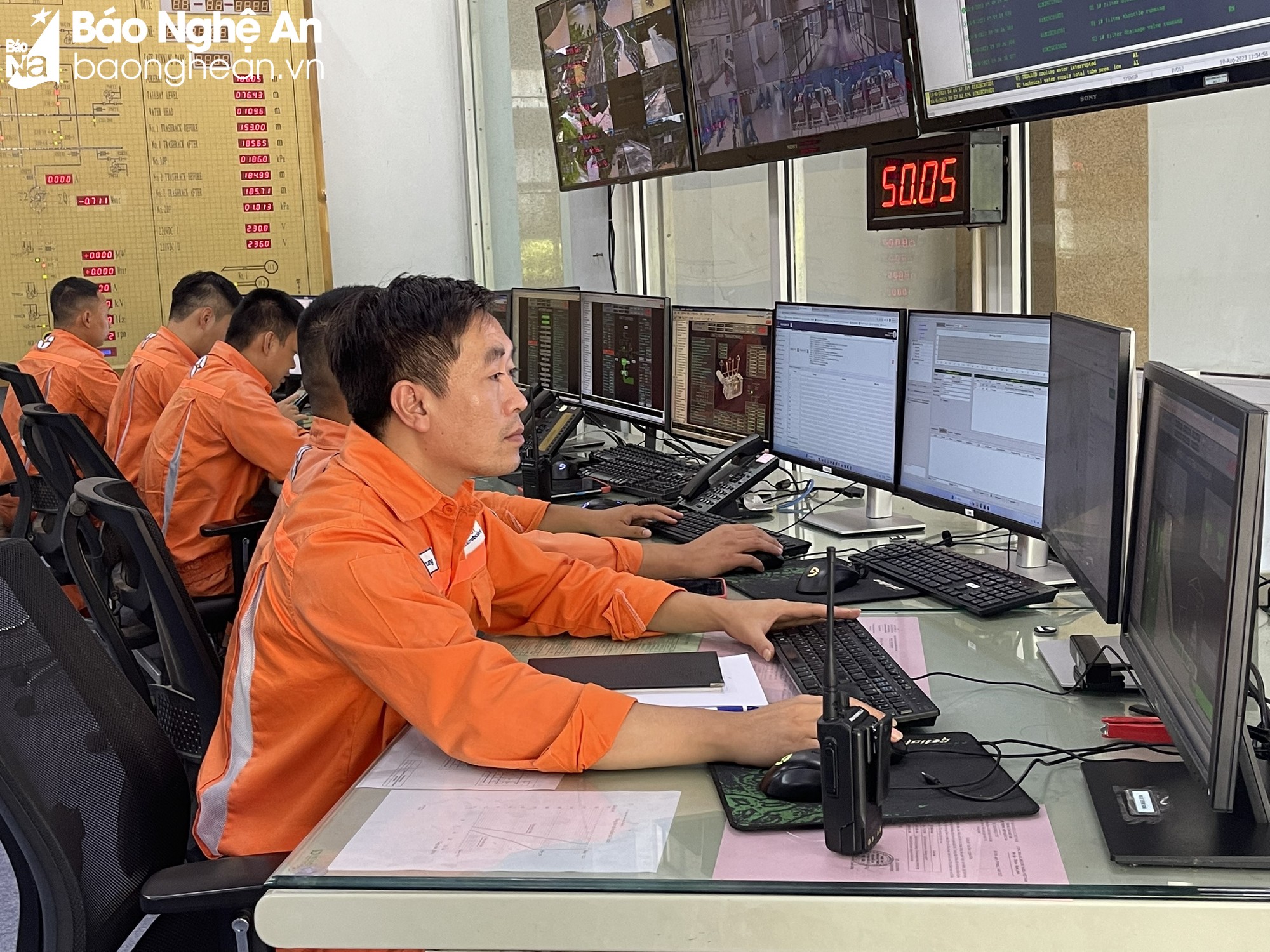
In principle, after the automatic rainfall monitoring data is sent to the center, hydrometeorological experts will use hydrological models to calculate the water flow. If the data is in hand, within 10-20 minutes, the forecast table will be provided to agencies and units.
Dr. Nguyen Xuan Tien - Deputy Director of the North Central Region Hydrometeorological Station
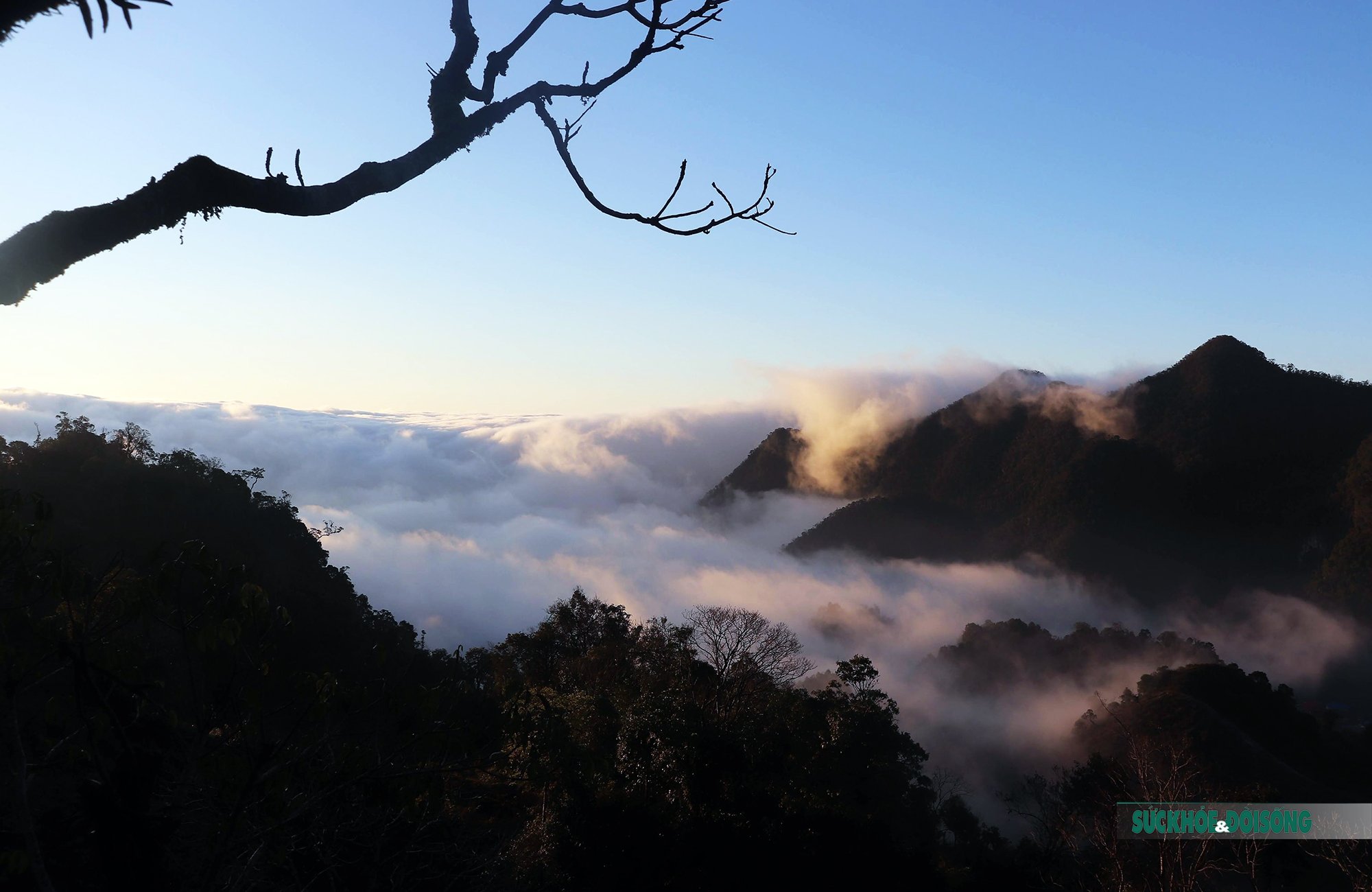
However, it should be noted that in hydrological forecasting, forecasting by rain is only a short-term forecast. To ensure accuracy, it is necessary to install additional hydrological stations to measure the water flow at specific times. In particular, forecasting the next rain of 24, 48, 72 hours later is still difficult. Because the basins of the major rivers in Nghe An are mainly located in Laos, while in Laos there are no meteorological stations (3-4 stations are needed to increase the accuracy), so there is no accurate upstream data.
"According to the principle of hydrology, the nearest rain area will transfer water first (first hour), by the second hour the more distant areas will transfer water, when the distant areas converge with the nearby areas, the flood peak will appear. If there are these hydrological monitoring stations, it will help forecast the flood peak. And when the flood peak is detected, there will be time to adjust and operate prevention and control activities downstream. However, currently, on the Nam Mo river branch (flowing from Ky Son), there is only a hydrological station in Muong Xen commune, so it cannot meet the requirements for accurate forecasting. At many conferences and forums, we have also proposed but have not been able to implement it" - Dr. Nguyen Xuan Tien added.
According to the review, currently, the automatic rain gauge system in the province has been invested and installed relatively basically with 91 monitoring points. However, this network cannot meet the forecasting needs, because Nghe An is a large province, an area with hydro-climatic characteristics and severe natural disasters across the country. Every year, natural disasters occur frequently, causing great damage to people and property. In particular, climate change has had a strong impact, changing some climate laws, climate extremes appear more often, while the current equipment and machinery in some places and stations are still lacking or old and do not meet the forecasting requirements.
For types of natural disasters that occur quickly such as thunderstorms, lightning, flash floods, landslides... forecasts and warnings have been fully and promptly implemented, close to reality according to the correct procedures. However, they are not really effective in terms of time, the warning area is still large and the communication work still has many shortcomings.
“Not to mention, currently, due to socio-economic development, the demand for hydrometeorological information with higher accuracy is increasing, especially for rivers and streams in Nghe An which are short and steep, floods rise and fall quickly, and in addition, there is also the regulatory influence of hydroelectric reservoirs, so flood forecasting and warning are difficult and the accuracy is not high... Therefore, it is necessary to calculate and invest in installing more equipment, to increase the density of warning "magic eyes", to better serve the work of forecasting and warning of natural disasters" - Dr. Nguyen Xuan Tien emphasized.
Source


![[Photo] Visiting Cu Chi Tunnels - a heroic underground feat](https://vstatic.vietnam.vn/vietnam/resource/IMAGE/2025/4/8/06cb489403514b878768dd7262daba0b)


Comment (0)