
1. When was Gia Lai - Kon Tum province merged?
- A
1975
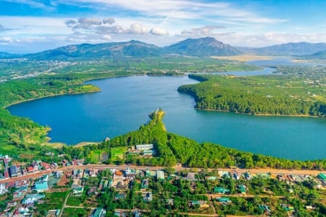
According to the Kon Tum Provincial Electronic Information Portal, after Kon Tum province was liberated (March 17, 1975), the whole province had Kon Tum city and 6 districts: H30, H40, H16, H29, H80, H67.
In October 1975, Kon Tum province merged with Gia Lai province to form Gia Lai - Kon Tum province. The province has the following districts: Konplong district (H16 + H29), Dak Glei (H30 + H40), Kon Tum city (H5 + H9), Dak To (H80). In 1979, Sa Thay was established on the basis of the land of the old H67. - B
1976
- C
1977
- D
1978
2. In what year were these two provinces separated?
- A
1990
- B
1991
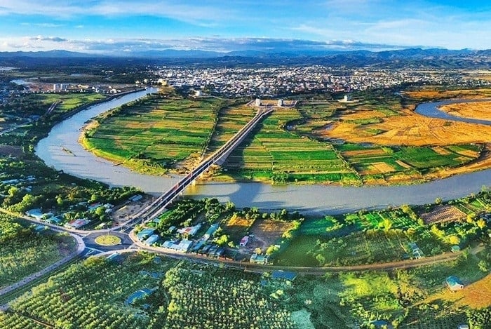
In October 1991, Kon Tum province was re-established on the basis of the separation of Gia Lai - Kon Tum province. Accordingly, a number of new districts were established such as Ngoc Hoi (in 1992), Dak Ha (in 1994), Kon Ray district (in 2002), and Tu Mo Rong district (in 2005).
By 2015, Kon Tum province had 1 city and 9 districts. Of which, Kon Tum city is the political, economic, cultural and social center of the province. - C
1992
- D
1993
3. The Indochina junction (where Vietnam - Laos - Cambodia meet) belongs to which province of our country?
- A
Gia Lai
- B
Dak Lak
- C
Quang Nam
- D
Kon Tum
The Indochina junction is located in Bo Y commune, Ngoc Hoi district, Kon Tum province. It is called the Indochina junction because this is the junction of three Indochinese countries including Vietnam, Laos and Cambodia.
Here, a common landmark between the three countries is built on a hill 1,086m above sea level. The landmark is located at the junction of three provinces: Kon Tum (Vietnam), Ratanakiri (Cambodia) and Attapeu (Laos).

4. Which river flows through both Gia Lai and Kon Tum provinces?
- A
Serepok River
- B
Se San River
According to the Vietnam Mekong River Commission, the Se San River basin flows through the territories of Kon Tum and Gia Lai provinces.
There are 37 ethnic groups living in the Se San River basin, of which the Kinh people account for 50%, the rest are ethnic minorities such as Gia Rai (17%), Xe Dang (12%), Ba Na (9%) and Tay, Thai, Nung... - C
Dong Nai River
- D
Red River

5. In what year did our country only have 38 provinces and cities?
- A
1974
- B
1975
- C
1976
In 1976, Vietnam had 38 provinces and cities, including 35 provinces and 3 centrally-run cities. This was the year with the smallest number of provinces and cities in Vietnam in the past half century.
At that time, the North had 13 provinces and 2 cities including: Bac Thai, Cao Lang, Ha Nam Ninh, Ha Bac, Ha Son Binh, Ha Tuyen, Hai Hung, Hoang Lien Son, Lai Chau, Quang Ninh, Son La, Thai Binh, Vinh Phu. The two cities were Hanoi and Hai Phong.
Southern 12 provinces: Song Be, Tay Ninh, Dong Nai, Long An, Dong Thap, An Giang, Tien Giang, Hau Giang, Kien Giang, Ben Tre, Cuu Long, Minh Hai and Ho Chi Minh City. - D
1977


![[Photo] General Secretary To Lam and Prime Minister Pham Minh Chinh attend the first Congress of the National Data Association](https://vstatic.vietnam.vn/vietnam/resource/IMAGE/2025/3/22/5d9be594d4824ccba3ddff5886db2a9e)


Comment (0)