
In recent years, along with economic development, especially tourism, the underground water source for daily life and agricultural production on Ly Son Island is gradually depleted. According to the People's Committee of Ly Son district, the saline intrusion has spread throughout Ly Son Island, causing 325 hectares of agricultural land and more than 22,000 people on the island to suffer from "thirst" for fresh water. According to monitoring results, currently on Ly Son Island, at a depth of 25-38 m or less, the underground water is completely saline; horizontally, the saline intrusion has penetrated 2km deep into the center of the island.
Tay An Vinh village is the most heavily salt-affected area on the island, with nearly 1,300 households suffering from severe water shortages. To have water for daily use, many households have to treat salt-affected water with water filters or buy bottled water for use.
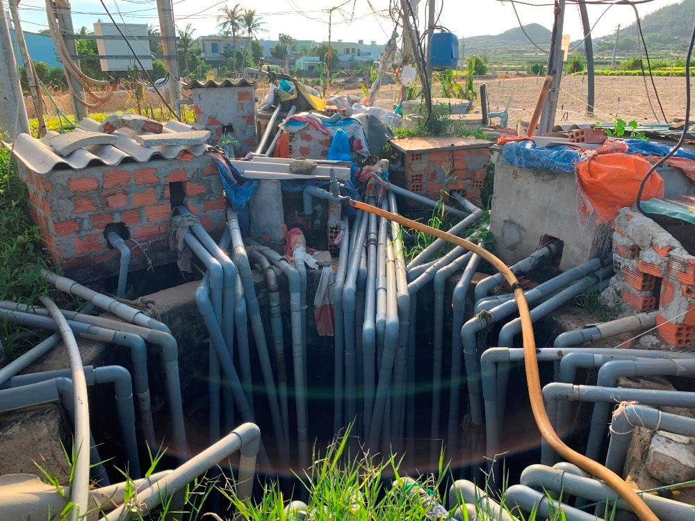
The whole district has one reservoir, Thoi Loi Lake, and two centralized water supply projects. In 2014, there were only 546 wells, but now there are 2,149 wells (density of more than 210 wells/km2). The more the number of wells increases, the thirstier Ly Son Island becomes.
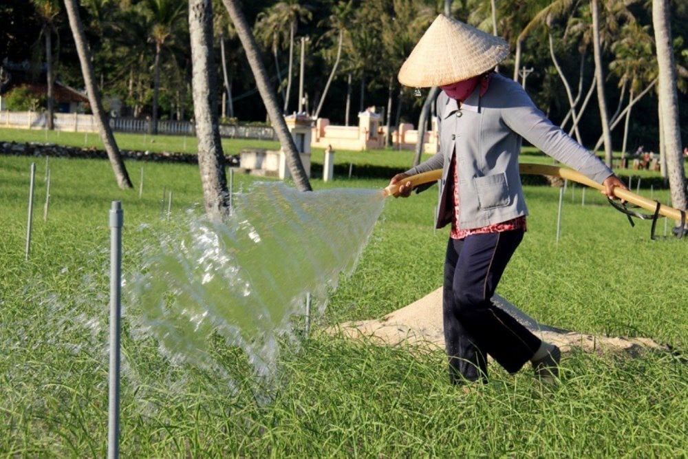
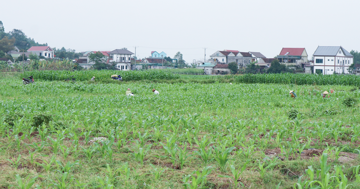
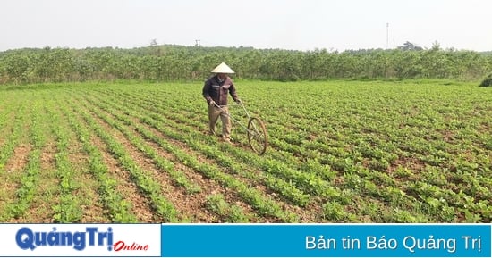
The decline in groundwater levels on Ly Son Island and salinity are causing many difficulties for people's production and daily life. Ms. Pham Thi Truong (Ly Son district) said: "Several dug wells have run out of water, some are salinized, so I have to switch from growing onions to growing corn to save water in the summer. However, the water is not enough to maintain the growth of the plants. Some people do not have wells, so they have to borrow water from the wells of neighboring households, on average they have to pay about 120,000 VND/hour to irrigate their fields."
In 2016, Quang Ngai province banned the digging and drilling of new wells to protect the freshwater aquifer on Ly Son island. Any organization or individual who wants to drill a well must apply for permission. However, illegal well drilling continues to recur. Every year, local authorities discover and punish many cases of people secretly drilling wells to get water to grow onions and garlic.
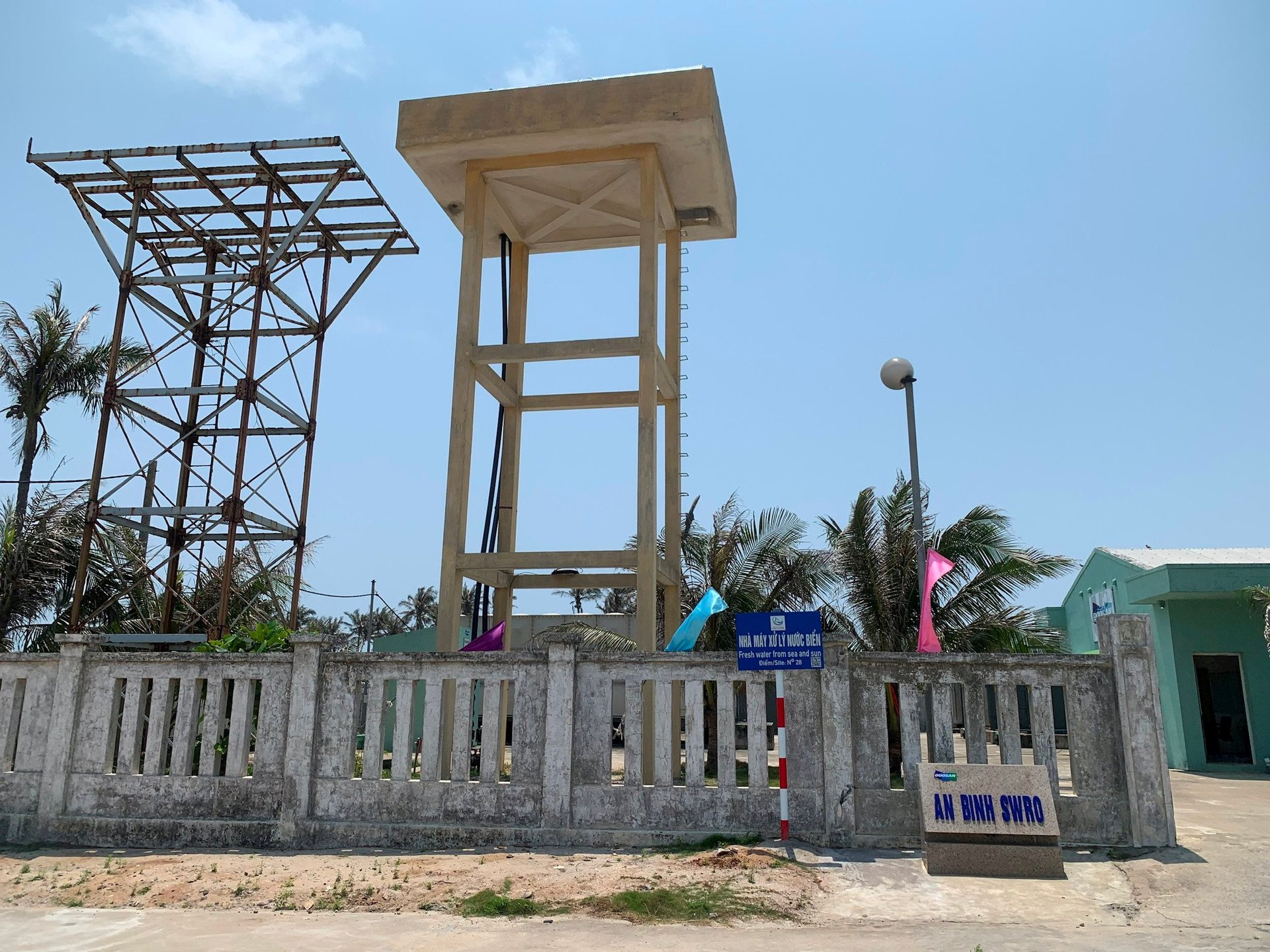
Recently, Mr. Dang Van Minh, Chairman of Quang Ngai Provincial People's Committee, directly inspected the project of domestic water storage system combined with water-saving irrigation for agriculture on Ly Son island. The project has an investment of 75 billion VND. Of which, the central budget capital is 45 billion VND. The implementation period is from 2017 to 2020. The scale of investment in construction of items such as reservoirs, water collection channels, water supply pipeline systems, and management houses. The project was implemented by April 2020, reaching about 21% of the volume.
However, the project is currently on hold. The reason is that the 2A water tank at the foot of Gieng Tien Mountain is located in the protection zone II of the Gieng Tien Mountain scenic relic. Ly Son district is currently waiting for approval of the 1/2000 scale zoning plan according to the decision to adjust the overall master plan for the construction of Dung Quat Economic Zone to have a basis for updating the project and carrying out the steps to adjust the project.
After the inspection, Mr. Minh requested Ly Son district to have a comprehensive report and clarify the responsibilities of the consulting unit during the survey and project preparation process. After receiving the explanatory report of the consulting unit, Ly Son district must have a report clearly identifying the responsibilities of the agencies and units to the Provincial People's Committee, no later than May 30, 2023. At the same time, the Department of Planning and Investment is assigned to preside over and coordinate with departments and branches to review the entire project, advise the Chairman of the Provincial People's Committee to resolve the project's problems in the direction of ending the project or adjusting the time and objectives of project implementation.
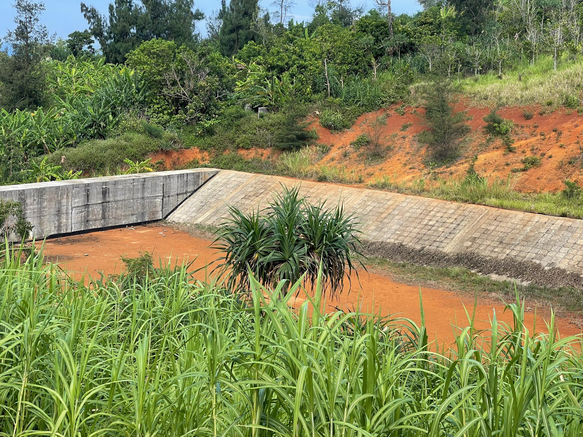
According to calculations by the functional sector of Quang Ngai province, with more than 10km2 of catchment area, the total amount of rainwater on the island is estimated at about 9 million m3/year. If we subtract the amount of water seeping into the ground and evaporating, the remaining amount of rainwater is about 3 million m3 flowing onto the surface, then flowing into the sea. Meanwhile, the water demand for about 70% of households and serving the remaining agricultural production area (about 200ha) requires more than 1 million m3.
Mr. Vo Quoc Hung, Deputy Director of the Department of Agriculture and Rural Development of Quang Ngai province, said that the most feasible solution is to invest in building a canal system around the island to collect surface water into centralized storage tanks with a total investment cost of about 250 billion VND.
After the investment in the construction of the collection system and reservoir is completed, this amount of fresh water (1 million m3) is expected to be used for agricultural production, seafood processing of about 600,000 m3, the remaining (about 400,000 m3) through the treatment system for daily life and service development, tourism.
Source
![[Photo] Ministry of Defense sees off relief forces to the airport to Myanmar for mission](https://vstatic.vietnam.vn/vietnam/resource/IMAGE/2025/3/30/245629fab9d644fd909ecd67f1749123)


![[Photo] Prime Minister Pham Minh Chinh chairs meeting to remove difficulties for projects](https://vstatic.vietnam.vn/vietnam/resource/IMAGE/2025/3/30/7d354a396d4e4699adc2ccc0d44fbd4f)


![[REVIEW OCOP] An Lanh Huong Vet Yen Cat](https://vstatic.vietnam.vn/vietnam/resource/IMAGE/2025/3/27/c25032328e9a47be9991d5be7c0cad8c)

Comment (0)