
The National Center for Hydro-Meteorological Forecasting said that at 7:00 p.m. on September 24, the center of the tropical depression was at about 15.2 degrees north latitude, 112.1 degrees east longitude, about 170 km south of Hoang Sa archipelago. The strongest wind near the center of the tropical depression was level 6 (39 - 49 km/h), gusting to level 8, the depression traveled 10 - 15 km per hour.

Map of the direction of the tropical depression
NATIONAL CENTER FOR HYDRO-METEORO-METROLOGICAL FORECASTING
At 7:00 p.m. on September 25, the center of the tropical depression was at about 15.4 degrees north latitude, 110 degrees east longitude, about 140 km from Quang Ngai and about 210 km from Da Nang. The strongest winds near the center of the tropical depression were at level 6 and 7, gusting to level 9.
At around 7pm on September 26, the center of the tropical depression was at around 15.8 degrees north latitude, 107.5 degrees east longitude, on the mainland from Da Nang to Quang Ngai. The strongest wind near the center of the tropical depression was at level 6, gusting to level 8.
From the next 48 to 60 hours, the tropical depression continued to move west-northwest, traveling about 10-15 km per hour and weakened into a low pressure area over southern Laos.
Due to the influence of the tropical depression, the southwestern sea area of the northern East Sea (including the sea area of the Hoang Sa archipelago), the northwestern sea area of the central East Sea has showers and thunderstorms, strong winds of level 6, then increasing to level 7, gusting to level 9, rough seas.
From the afternoon of September 25, the sea area from Quang Tri to Quang Ngai gradually increased in strength to level 6 - level 7, gusting to level 9, with rough seas.
On the evening and night of September 25, coastal areas from Quang Tri to Quang Nam and northern Quang Ngai will have strong winds of level 6, gusting to level 8, and inland winds will have gusts of level 6 - level 7.
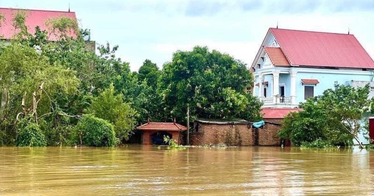
From September 25 to 27, in the Central region, Central Highlands and the South, there will be moderate rain, heavy rain and thunderstorms, locally very heavy rain. In the North and Central Central regions, rainfall is generally 100 - 300 mm/period, in some places over 350 mm/period; in the South Central region, Central Highlands and the South, rainfall is from 100 - 150 mm/period, in some places over 200 mm/period.
Proactively respond to tropical depression
To proactively respond to the tropical depression and heavy rain, on the evening of September 24, the National Steering Committee for Natural Disaster Prevention and Control issued a telegram requesting the Command Committee for Natural Disaster Prevention and Control and Search and Rescue along the coastal routes of provinces from Quang Binh to Phu Yen to closely monitor the developments of the tropical depression.
Organize the counting of vessels operating at sea, strictly manage means of transport at sea, notify owners of means of transport, captains of vessels and boats operating at sea of the location, direction of movement and developments of tropical depressions to proactively avoid, escape or not move into dangerous areas.
Check, review, and prepare plans to ensure safety for activities at sea and aquaculture; proactively prohibit sea travel and ensure safety for people and property at watchtowers and rafts depending on the development of the tropical depression; prepare forces and means for rescue when required.
For the mainland regions of the Central, Central Highlands and South, the National Steering Committee for Natural Disaster Prevention and Control requires close monitoring of developments of heavy rain, floods, inundation, flash floods, landslides, and timely and complete information to authorities at all levels and people to proactively prevent, respond and minimize damage.
Deploy shock forces to inspect and review residential areas along rivers, streams, and low-lying areas to proactively organize the relocation and evacuation of people in areas at high risk of deep flooding, flash floods, and landslides.
Organize forces to be ready to control and direct traffic, put up warning signs, especially at culverts, spillways, deep flooded areas, and fast-flowing water; proactively arrange forces, materials, and means to overcome incidents, ensuring smooth traffic on main traffic routes when heavy rain occurs.
Direct the work of ensuring safety of important sea dykes or those under construction; be ready to deploy measures to drain water, protect production, and prevent flooding in urban areas and industrial parks.
Inspect, review, and deploy operation plans and ensure safety of reservoirs and downstream areas, especially small hydropower reservoirs and important irrigation reservoirs; arrange permanent forces to operate and regulate and be ready to handle possible situations.
The Ministries of Natural Resources and Environment, Agriculture and Rural Development, Information and Communications, Industry and Trade, Transport, National Defense, and Public Security closely monitor and direct measures to be ready to respond when bad situations occur. Prepare forces and means for rescue when requested.
Source link


Comment (0)