
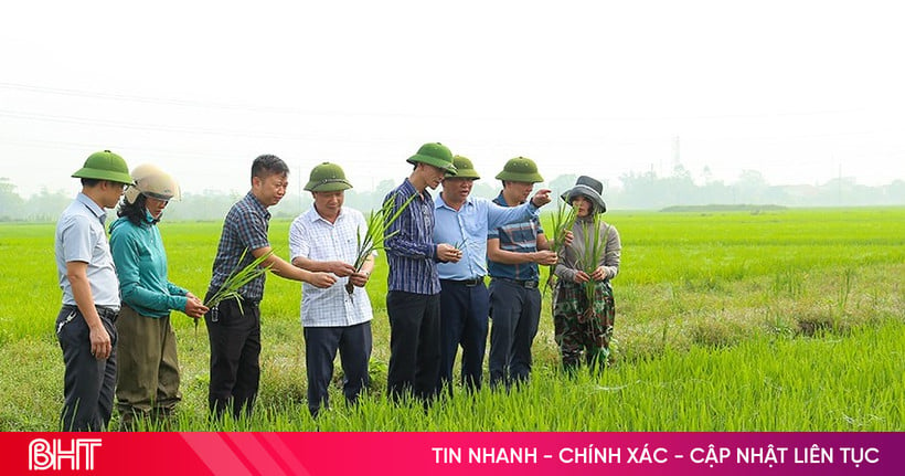
TPO - This morning (September 24), in Bien Hoa City, Dong Nai Provincial People's Committee held a conference to announce planning and promote investment. Prime Minister Pham Minh Chinh attended the conference. According to the planning until 2030, Dong Nai will take 2 areas as new development drivers: Long Thanh airport urban area and Dong Nai river corridor area.
At the conference, Deputy Minister of Planning and Investment (MPI) Tran Quoc Phuong announced the planning of Dong Nai province for the period 2021-2030, with a vision to 2050, approved by the Prime Minister in Decision No. 586/QD-TTg, dated July 3, 2024.
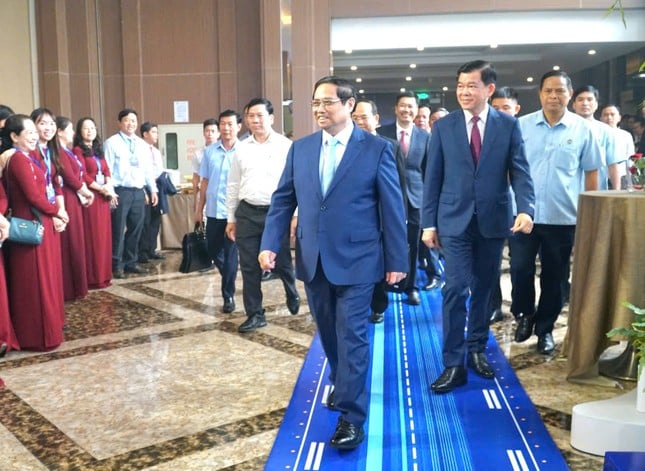 |
Prime Minister Pham Minh Chinh attends Dong Nai province planning conference. |
According to the plan until 2050, Dong Nai will be a centrally-governed city with a leading economy in the country, modern and synchronous infrastructure, an international trade center, services and high-class urban areas, a place where talents and intellectuals gather, focusing on green economy and achieving the goal of net zero emissions.
In which, promote the potential, strengths, and competitive advantages of the province, taking Long Thanh International Airport and Dong Nai River as new driving forces for breakthrough development. Attract investment selectively, with focus and key points, towards high-tech industries, ecological industries, supporting industries, biological industries; high-tech agriculture; comprehensive services, focusing on education - training, healthcare, logistics, and tourism.
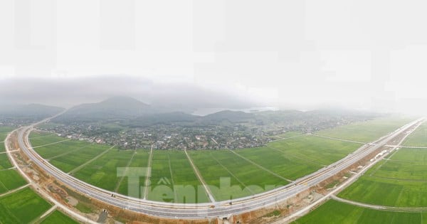
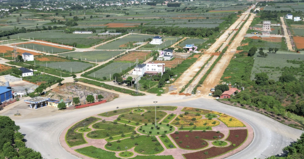
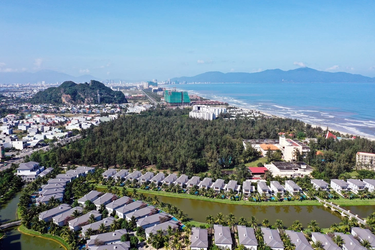
According to the planning until 2030, Dong Nai takes 2 areas as new development driving forces for the province. The first area includes: Long Thanh airport urban area - Completing the traffic infrastructure system connecting Long Thanh International Airport with the national and regional highway and railway systems. Comprehensively developing aviation services within the scope of Long Thanh International Airport.
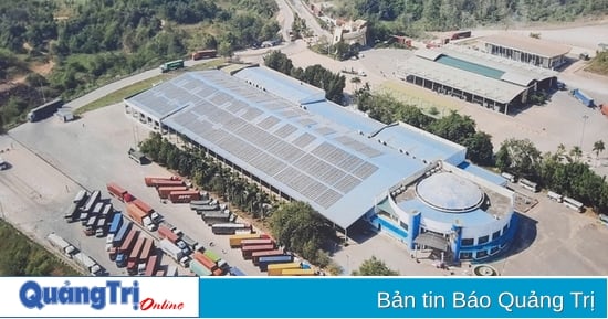
In Long Thanh district: Developing urban areas in the southwest of Long Thanh International Airport; developing industrial and logistics clusters in the southeast of Long Thanh International Airport, linking with the Cai Mep - Thi Vai seaport industrial - logistics service system; developing urban - industrial - service chains along the Bien Hoa - Vung Tau expressway, National Highway 51 and Ring Road 4 in Ho Chi Minh City.
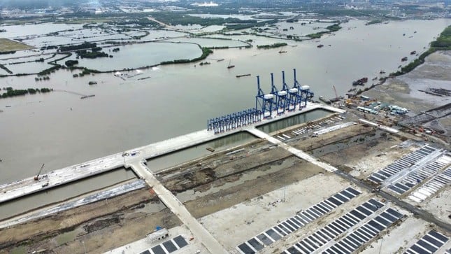 |
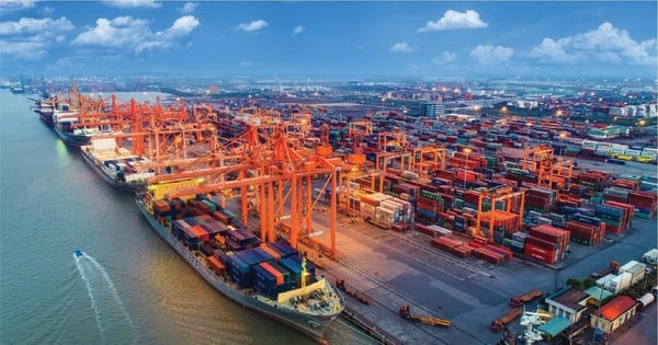
Phuoc An Port is part of the development chain of industrial and logistics clusters in the Southeast of Long Thanh International Airport. |
In Nhon Trach district: Develop a high-tech urban - service - industrial chain, synchronously connect infrastructure, logistics services with the Cai Mep - Thi Vai seaport system, Phuoc An seaport, Ho Chi Minh City center; develop a service - tourism route connecting Long Thanh International Airport with Can Gio biosphere reserve.
In Cam My district: Developing Song Nhan urban - industrial - service area at the northeastern gateway of Long Thanh International Airport.
The second area includes the Dong Nai River corridor, taking the Dong Nai River as the axis of the province's dynamic economic development. Inheriting, maintaining, and optimizing the structure of the canal network along the Dong Nai River; building riverside roads; promoting the construction of bridges across the river to strongly connect with Ho Chi Minh City and Binh Duong province. Protecting and developing a balanced and reasonable green landscape along the entire riverside, combining selective service, urban, and eco-tourism development models. Harmoniously linking the riverside landscape with the inter-urban TOD route. Developing waterway traffic to serve tourism and civil use, along with diverse water recreation activities.
Riverside area in Dinh Quan and Tan Phu districts: Develop Tri An Lake tourist area and tourist service clusters according to the model of eco-tourism, forest tourism associated with landscape protection, upstream forest protection, and water resource conservation. Riverside area in the west of Vinh Cuu district: develop ecological urban areas, connecting with Tan Uyen urban area in Binh Duong province, forming a dynamic urban line on both sides of the river.
Riverside area in the North of Bien Hoa city: Developing urban center in Hiep Hoa Islet and the area converting the function of Bien Hoa I industrial park, developing urban area on both sides of Dong Nai river.
South Bien Hoa - North Long Thanh riverside area: Develop high-class, model urban - service areas, gradually disperse population from the existing Bien Hoa center area and attract residents from Ho Chi Minh City. Riverside area in Nhon Trach district: develop new urban areas, tourism, trade, services, seaports. Preserve mangrove areas, organize open spaces, green areas, semi-flooded parks.
Source: https://tienphong.vn/do-thi-san-bay-long-thanh-duoc-quy-hoach-nhu-the-nao-post1675998.tpo

![[Photo] Overcoming all difficulties, speeding up construction progress of Hoa Binh Hydropower Plant Expansion Project](https://vstatic.vietnam.vn/vietnam/resource/IMAGE/2025/4/12/bff04b551e98484c84d74c8faa3526e0)


![[Photo] Closing of the 11th Conference of the 13th Central Committee of the Communist Party of Vietnam](https://vstatic.vietnam.vn/vietnam/resource/IMAGE/2025/4/12/114b57fe6e9b4814a5ddfacf6dfe5b7f)


Comment (0)