
Latest storm news: Typhoon Usagi is currently in the northern waters of Luzon Island (Philippines). The storm is at level 11, gusting to level 13, moving northwest at a speed of 15 km/h. This morning, November 15, Typhoon Usagi will enter the East Sea, becoming storm number 9.
Latest storm news: Storm Usagi will enter the East Sea today
At 10:00 a.m. on November 15, the center of the storm was located at about 20.4 degrees North latitude; 120.3 degrees East longitude, in the sea north of Luzon Island (Philippines). The strongest wind near the center of the storm was level 11 (103-117 km/h), gusting to level 13. Moving northwest at a speed of about 15 km/h.
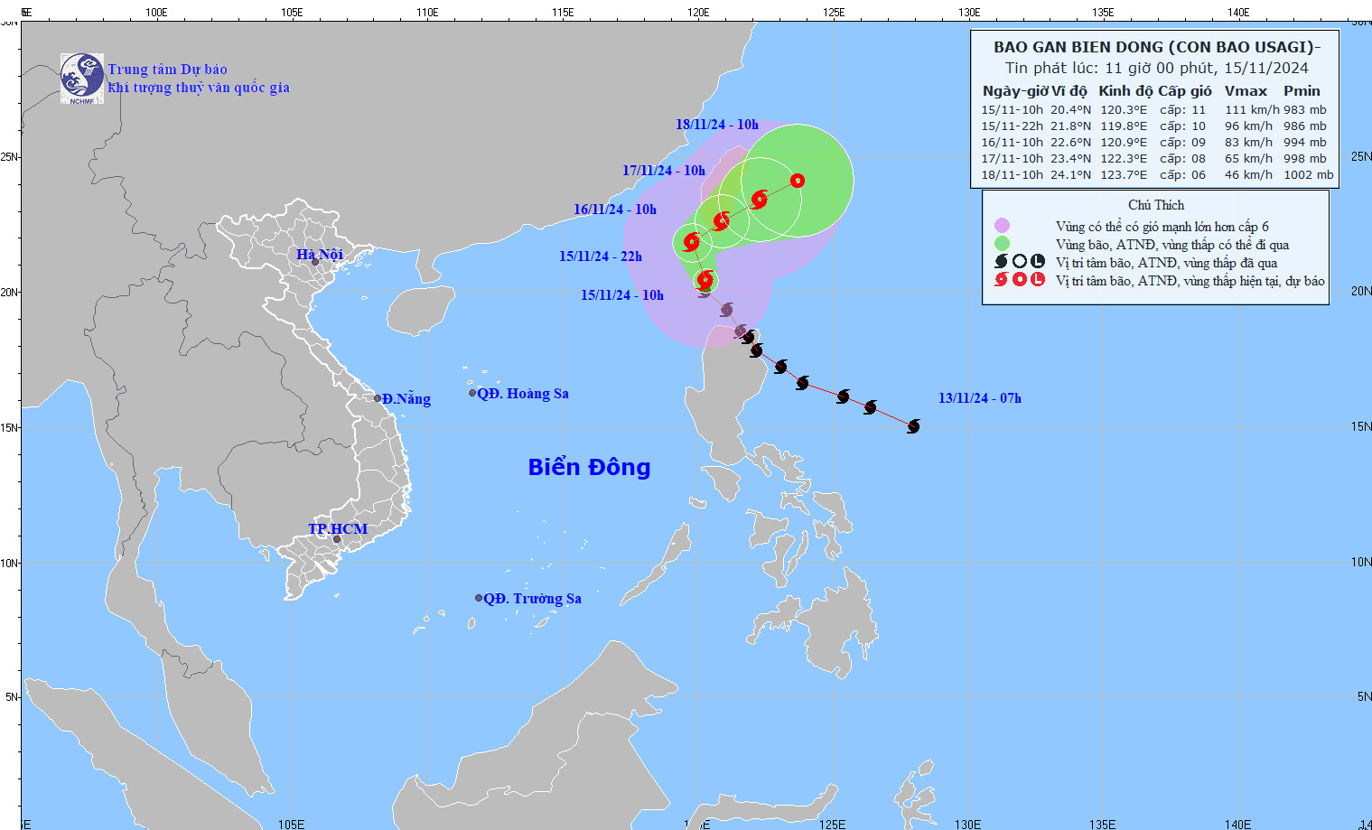
Latest storm news: Latest update on the location and path of storm Usagi. Photo: NCHMF
Storm Usagi's development in the next 24 to 72 hours
| Forecast time | Direction, speed | Location | Intensity | Danger zone | Disaster Risk Level (Affected Area) |
| 10h/16/11 | North Northwest after turning Northeast, about 15km/h and gradually weakening | 22.6N-120.9E; on the mainland south of Taiwan (China) | Level 9, jerk level 11 | North of latitude 18.5N; East of longitude 118.0E | Level 3: Northeast of the North East Sea area |
| 10h/17/11 | Northeast, 5-10km/h, further weakening | 23.4N-122.3E; in the sea east of Taiwan | Level 8, level 10 jerk | North of latitude 21.0N; East of longitude 119.0E | |
| 10h/18/11 | Northeast, 5-10km/h and weakens into a tropical depression | 24.1N-123.7E; in the sea east of Taiwan | Level 6, level 8 jerk |
On the impact of Typhoon Usagi
The northeastern sea area of the North East Sea has strong winds of level 8-9, near the storm's eye level 10-11, gusting to level 13, waves 3.0-5.0m high, near the eye 5.0-7.0m; rough seas.
Ships operating in the above mentioned dangerous areas are likely to be affected by storms, whirlwinds, strong winds and large waves.
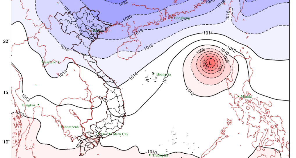
In addition to Typhoon Usagi, which is about to become typhoon No. 9, Typhoon Manyi is appearing off the coast of the Philippines, currently more than 1,500 km from Luzon Island. The storm is moving very fast at 25 - 30 km/h. It is forecasted that around November 17, the storm will make landfall in the Luzon Island area (Philippines) at level 15, gusting above level 17.
The latest storm information from the Philippine weather agency PAGASA at 5:00 a.m. on November 15 said that Typhoon Manyi (local name: Pepito) is strengthening to near typhoon level. This storm near the East Sea will continue to strengthen as it moves over the Philippine Sea.
At 4 a.m. the same day, Typhoon Manyi was 795 km east of Guiuan, Eastern Samar, Philippines. Maximum sustained winds near the center of the storm were up to 110 km/h, with gusts of up to 135 km/h. Typhoon Manyi was moving west at 25 km/h.
Forecasters in the Philippines said that due to high pressure south of Japan, Typhoon Manyi will move westward over the next 12 hours before turning west-northwest to northwest over the Philippine Sea. Typhoon Manyi is expected to make landfall on the east coast of Central and/or Southern Luzon later this week.
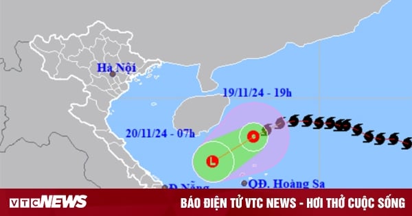
Storm Manyi is forecast to enter the East Sea in the afternoon or evening of November 18. According to the General Department of Hydrometeorology, this is a very strong, fast-moving storm, likely to enter the East Sea on November 18 and become storm number 10.
Source: https://danviet.vn/tin-bao-moi-nhat-bao-usagi-tang-cap-di-vao-bien-dong-tro-thanh-con-bao-so-9-20241115112601544.htm


Comment (0)