
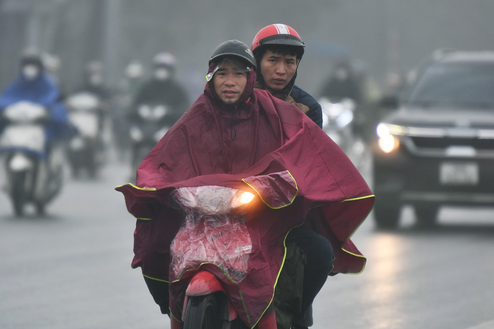
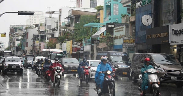
This morning, the Southern Hydrometeorological Station continued to issue warnings of thunderstorms, lightning, rain and localized heavy rain in many localities such as: Ho Chi Minh City, Dong Nai, Soc Trang, Tra Vinh, Ben Tre, Can Tho, Vinh Long, Dong Thap, Tien Giang, An Giang... with rainfall ranging from 5 - 15mm, with some places over 20mm. However, by 10am the same day in Ho Chi Minh City, the weather was still basically hot and sunny.

The hot and burning weather will continue for the next few days.
The past few days have been similar, although Ho Chi Minh City and the southern provinces have had light showers and localized heavy rains, the weather is still hot and sunny. The sun rose before 6am, and by around 9am the sun had already started to burn the skin and lasted until the evening. The intense heat combined with high humidity makes the heat very uncomfortable. Many people wonder, thinking that after the rainy season, the weather will move to a cool, pleasant phase. However, in reality, the heat will continue in the coming days.
The National Center for Hydro-Meteorological Forecasting said that on May 10, the Southern region will be hot with the highest temperature commonly ranging from 35 - 38 degrees Celsius, with some places above 38 degrees Celsius such as: Tri An (Dong Nai) 38.1 degrees Celsius, Ta Lai (Dong Nai) 37.4 degrees Celsius...
On May 11-12, the Southern region will experience hot weather with the highest temperature commonly ranging from 35 - 37 degrees Celsius, with some places above 37 degrees Celsius. The hot weather in the South is likely to last until around May 15.
In addition, the South Central and Central Highlands regions also have localized heat with the highest temperature in some places above 35 degrees Celsius.
Quick view 12:00 on May 11: Weather forecast
During the period from April 11 to May 10, the average rainfall in the Central Highlands and the South was 50-100mm lower than the average of many years, and in some places it was over 120mm lower. The lack of rain caused the hot weather to last longer and be more intense than in many years. The cause was the influence of El Nino and climate change, which caused global temperatures to warm.
According to experts, the weather in the South is currently still affected by the low pressure in the west. This is still the transitional season, the southwest wind is weak and low so there is not much rain and it does not occur over a large area, making the heat still quite severe. After May 15, the southwest wind will become stronger, causing more rain in both quantity and area, then the heat will decrease.
Dangerous weather phenomena such as thunderstorms with tornadoes, lightning, hail and strong gusts of wind continue to occur nationwide. In addition, tropical disturbances are likely to occur in the East Sea in late May and early June.
Source: https://thanhnien.vn/sau-mua-chuyen-mua-tphcm-van-nang-nong-185240511101902189.htm


Comment (0)