
Planning 964ha of beach land
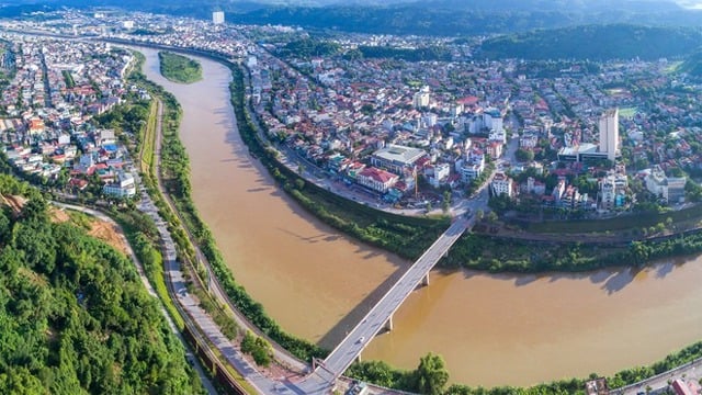
On March 25, 2023, the Hanoi People's Committee issued Decision No. 1045/QD-UBND approving the Red River urban zoning plan, scale 1/5000 (section from Hong Ha bridge to Me So bridge) with a scale of nearly 11,000 hectares, within the administrative boundaries of 55 wards and communes in 13 districts.
In particular, the section from Thanh Tri Bridge to Me So Bridge (section R5) is the key ecological space of the Red River urban subdivision, with agricultural areas growing vegetables, ornamental plants, aquaculture areas along with traditional agricultural villages and historical relics. This area is oriented to preserve and restore natural and cultural values serving tourism and developing multifunctional areas associated with commercial, service, and transportation activities (Thanh Tri and Bat Trang ports), and Bat Trang craft village.
The city assigned the People's Committees of 13 districts and the Department of Agriculture and Rural Development to draw up 1/500 scale boundary drawings of existing residential areas that are protected, etc.; Organize the preparation of detailed planning at 1/500 scale for existing residential areas that are protected; specifically determine the legal status of land use for each plot of land in existing residential areas, as a basis for granting land use right certificates and construction permits according to regulations.
Inspect, manage, and supervise construction according to planning, handle cases of construction that violate planning according to authority and legal regulations. Review and adjust programs, plans, planning, and related investment projects in the area in accordance with the approved Zoning Plan.
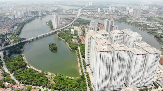
Hanoi has studied the planning of 8 Red River beaches. Of which, 6 areas are being studied for new construction with a rate of 5% (about 1,590ha) including: Thuong Cat - Lien Mac, Hoang Mai - Thanh Tri, Chu Phan - Trang Viet, Dong Du - Bat Trang, Kim Lan - Van Duc. Particularly, Tam Xa - Xuan Canh area is being studied for new construction with a rate of 15% (about 408ha).
Currently, the land on these riverbanks is diverse in types, including unused vacant land and land for growing vegetables, flowers, and ornamental plants. These riverbanks are proposed to be built into modern urban functional areas, with synchronous social and technical infrastructure, low construction density, suitable for the orientation of the main spatial axis of green trees, water surface, and landscape of the central urban area.
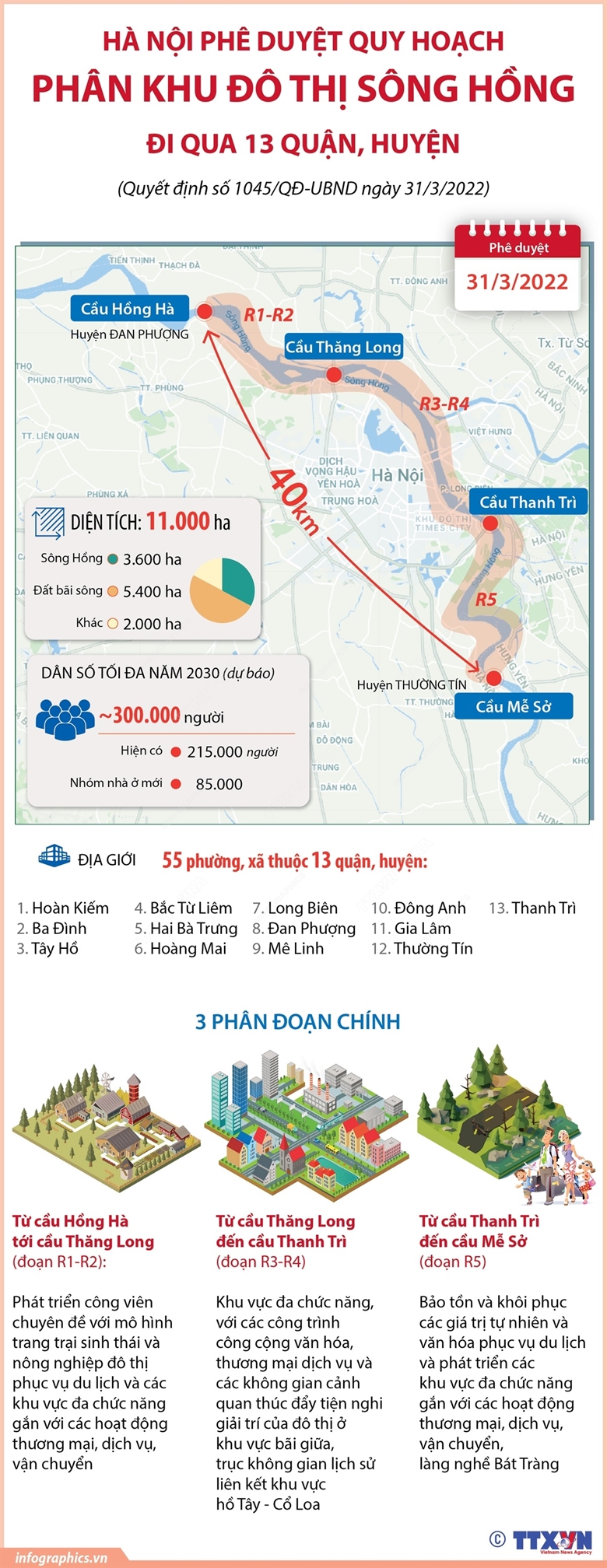
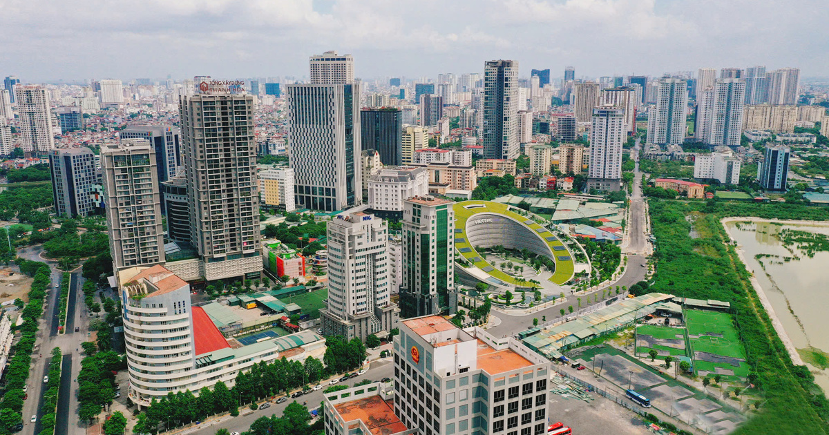
The area outside the Red River dike of Hoang Mai district is about 964 hectares (accounting for 24% of the whole district), of which agricultural land is 425 hectares, non-agricultural land is 355 hectares, river land is 174 hectares, unused land is more than 9 hectares, outside the dike there are over 14,000 people from 3 wards Thanh Tri, Linh Nam, Tran Phu living.
“ This is an important area for local economic development in the coming period, so the Standing Committee of Hoang Mai District Party Committee is very interested in planning and calling for investment in the area outside the Red River bank.
Currently, Hoang Mai district is focusing on implementing two traffic projects on Tam Trinh and Linh Nam roads to facilitate travel and transportation in this area" - District Party Secretary Nguyen Xuan Linh affirmed.
Continue to develop the economy of the Red River delta
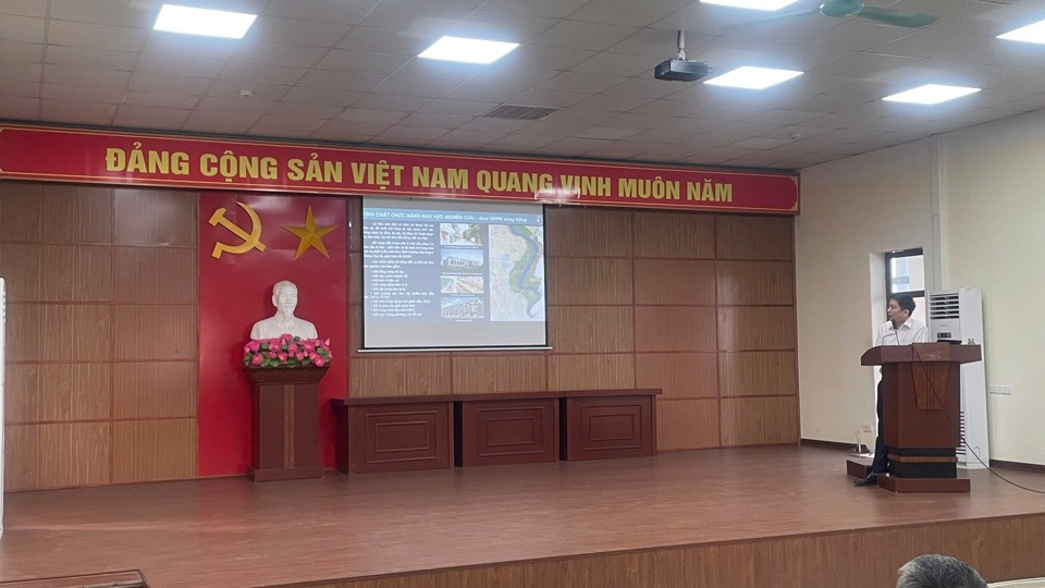
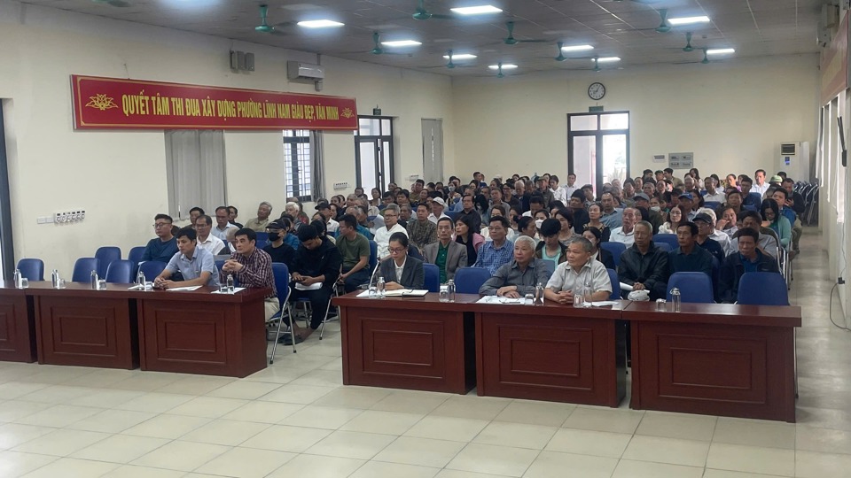
Talking about the economic development of the sandbank, Chairman of Linh Nam Ward People's Committee Ta Viet Dung said that on September 25, Hoang Mai District People's Council organized a conference to meet voters on the topic of planning, land management, construction order and economic development of the sandbank area outside the Red River.
Regarding this issue, Hoang Mai District Party Secretary Nguyen Xuan Linh said that Hoang Mai District is working with a consulting unit to carry out the steps to prepare a 1/500 planning project, expected to be completed in January 2025.
6 comments from residents of the beach area in Linh Nam ward all unanimously supported the implementation of the task of detailed planning at a scale of 1/500 for existing residential areas protected in the beach area in the ward. Because residents of Linh Nam ward understand the inconveniences in daily life due to the slow planning of the beach area. In the past time, many inspection delegations at the district and city levels have continuously worked and verified complaints about land management by the ward government over the periods...
Representatives of the Hoang Mai District Urban Management Board and the consulting unit highly appreciated the contributions of local people and will study and accept the planning adjustment. According to the law, the ward authorities will publicly post the planning documents and maps for 30 days to collect opinions from agencies, organizations, individuals and the community.
In particular, the People's Committee of Hoang Mai district will focus on developing a detailed plan at a scale of 1/500 for the Red River delta area to develop Hoang Mai's socio-economy.
Source: https://kinhtedothi.vn/quan-hoang-mai-dang-lay-y-kien-quy-hoach-chi-tiet-1-500-vung-bai-song-hong.html
![[Photo] Prime Minister Pham Minh Chinh meets with Brazilian President Luiz Inacio Lula da Silva](https://vstatic.vietnam.vn/vietnam/resource/IMAGE/2025/3/28/41f753a7a79044e3aafdae226fbf213b)
![[Photo] Flower cars and flower boats compete to show off their colors, celebrating the 50th anniversary of Da Nang Liberation Day](https://vstatic.vietnam.vn/vietnam/resource/IMAGE/2025/3/28/086d6ece3f244f019ca50bf7cd02753b)
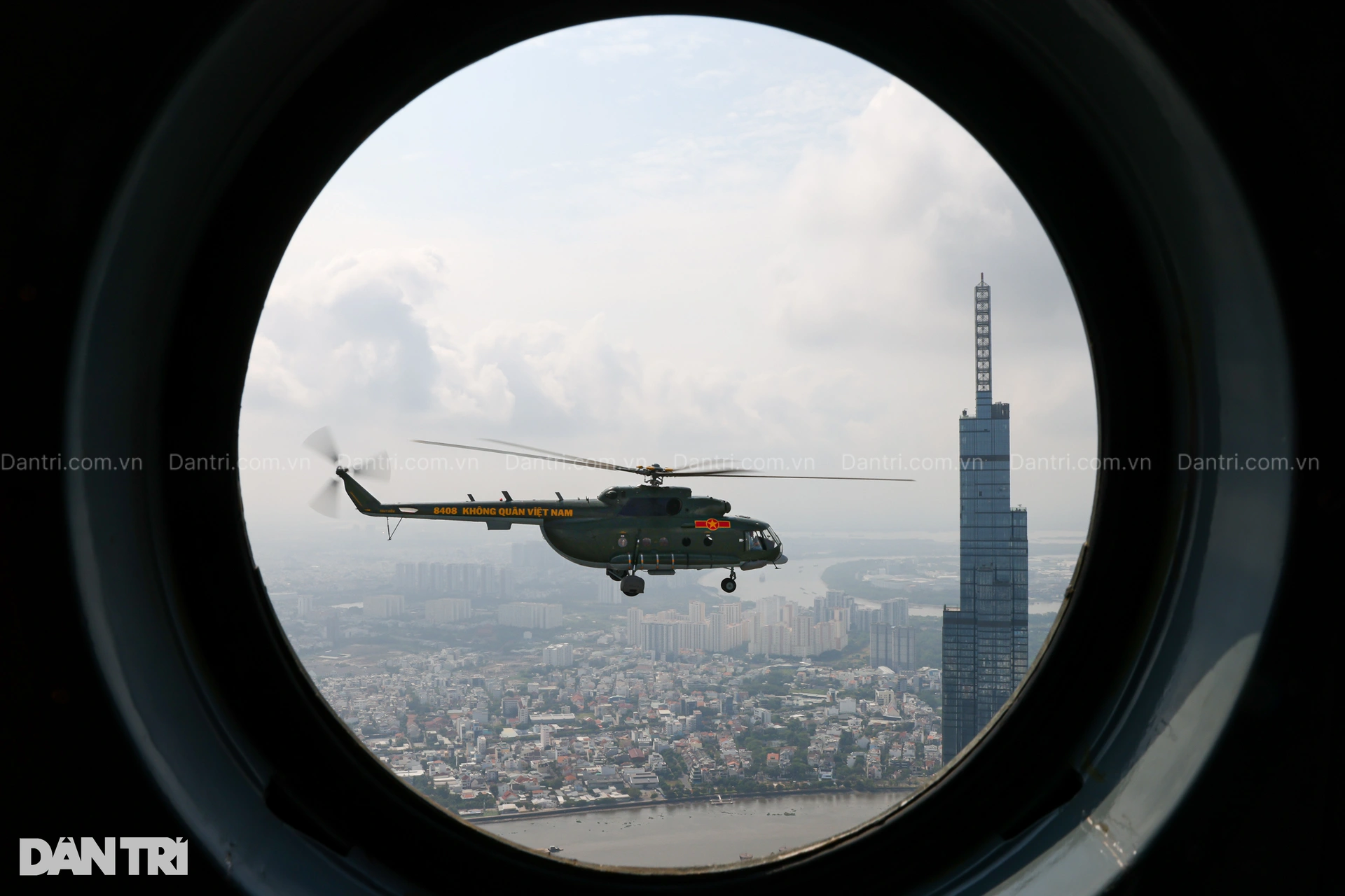
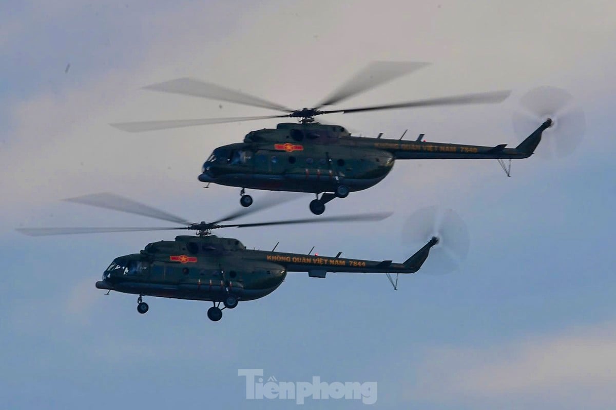
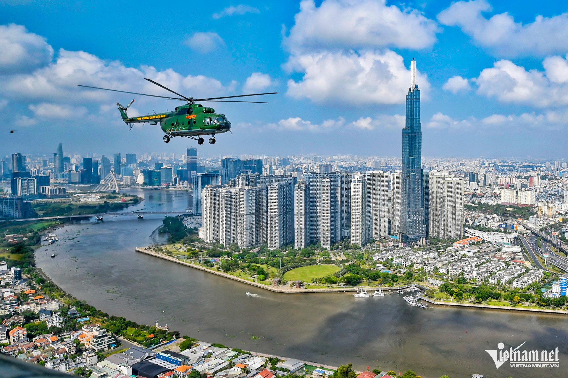
![[Photo] Helicopters and fighter jets practice in the sky of Ho Chi Minh City](https://vstatic.vietnam.vn/vietnam/resource/IMAGE/2025/3/28/3a610b9f4d464757995cac72c28aa9c6)
![[Photo] President Luong Cuong hosts state reception for Brazilian President Luiz Inacio Lula da Silva](https://vstatic.vietnam.vn/vietnam/resource/IMAGE/2025/3/28/56938fe1b6024f44ae5e4eb35a9ebbdb)


Comment (0)