
National Center for Hydro-Meteorological Forecasting, at 7:00 p.m. on October 23, storm Trami (in Vietnamese, Tra Mi) was in the sea east of Luzon Island (Philippines). The strongest wind near the storm center was level 9-10 (75-102 km/h), gusting to level 12. The storm moved in a West-Northwest direction at a speed of 15-20 km/h.
It is forecasted that at around 7:00 p.m. on October 24, the storm will enter the East Sea, becoming the sixth storm in 2024 to operate in this sea area. The storm will move in a West-Northwest direction, then possibly change direction to West-Southwest, traveling about 15km per hour. The center of the storm is the sea area east of the North East Sea. The strongest wind near the center of the storm is level 9, gusting to level 11.
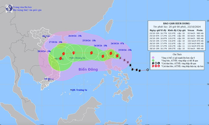
Forecast of the path and affected area of storm Trami. (Source: NCHMF)
At about 7:00 p.m. on October 25, storm No. 6 in the eastern sea of the North East Sea, 580 km east of Hoang Sa archipelago, moved in the West Northwest direction, at a speed of about 10-15 km/h, the strongest wind near the storm center was level 10, gusting to level 12.
At 7:00 p.m. on October 26, the storm was moving westward in the northeastern waters of the Hoang Sa archipelago at a speed of 15-20 km/h. The strongest winds near the storm center were at level 11-12, gusting to level 15.
Thus, according to forecasts, the storm will continue to increase in intensity after entering the East Sea.
From the next 72 to 120 hours, the storm will move mainly in a westerly direction, traveling 10-15km per hour, then may change direction to the South-Southwest and move more slowly.
Impact of the storm, the eastern sea area of the North East Sea has strong winds of level 6-7, near the storm's eye level 8-9 (62-88km/h), gusts of level 11, waves 3-5m high, near the storm's eye 5-7m, very rough seas.
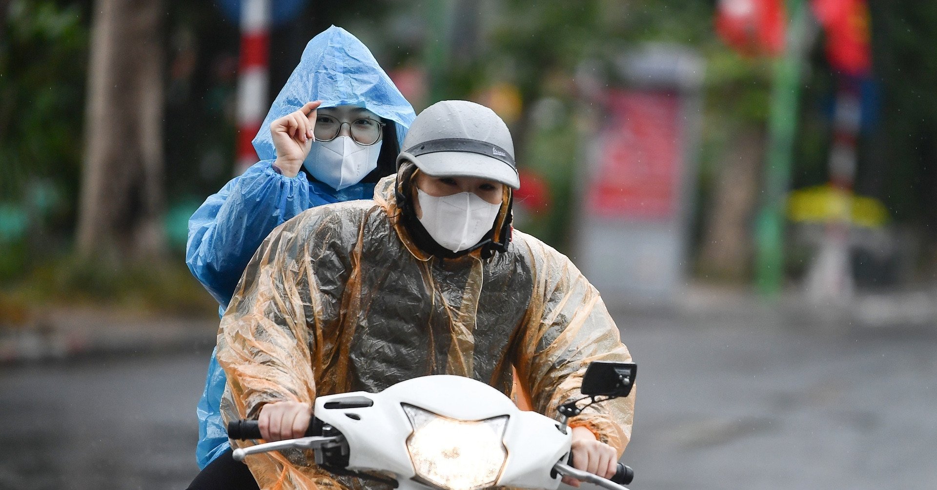
Faced with the complicated developments of storm Trami, on the afternoon of October 23, the Standing Office of the Steering Committee for Natural Disaster Prevention and Search and Rescue of Quang Ngai province issued a telegram requesting units and localities to use communication systems to inform captains of ships and boats operating at sea about information and developments of the storm so that they can proactively avoid, escape or not move into dangerous areas.
In particular, ships and boats operating in the northern East Sea and Hoang Sa archipelago must not be subjective and must urgently move to take shelter.
Units and localities organize the counting of ships and boats operating at sea; strictly manage the activities of ships and boats at sea; maintain communication to promptly handle bad situations that may occur; prepare rescue forces and means to deploy rescue work when requested.
Source: https://vtcnews.vn/bao-so-6-vao-bien-dong-ngay-mai-24-10-ar903482.html


![[Photo] Prime Minister Pham Minh Chinh chairs Government Conference with localities on economic growth](https://vstatic.vietnam.vn/vietnam/resource/IMAGE/2025/2/21/f34583484f2643a2a2b72168a0d64baa)


Comment (0)