
(NLDO) - An "unbelievable" 3D map was found in a famous stone cellar in the Paris basin, northern France.
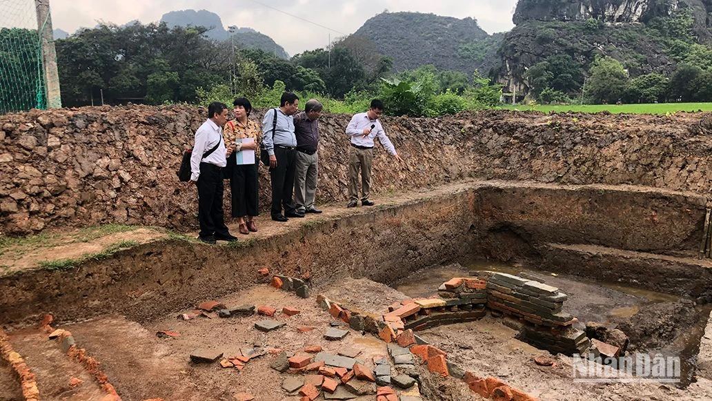
According to Sci-News, a research team from the University of Adelaide (Australia) and the National School of Mines of Paris (France) discovered a mysterious 3D map engraved on part of the floor of the Ségognole 3 stone tunnel in the Paris basin.
The Ségognole 3 rock shelter is a Paleolithic site that has attracted attention in recent years for its engravings depicting two horses standing on either side of a female genital symbol.

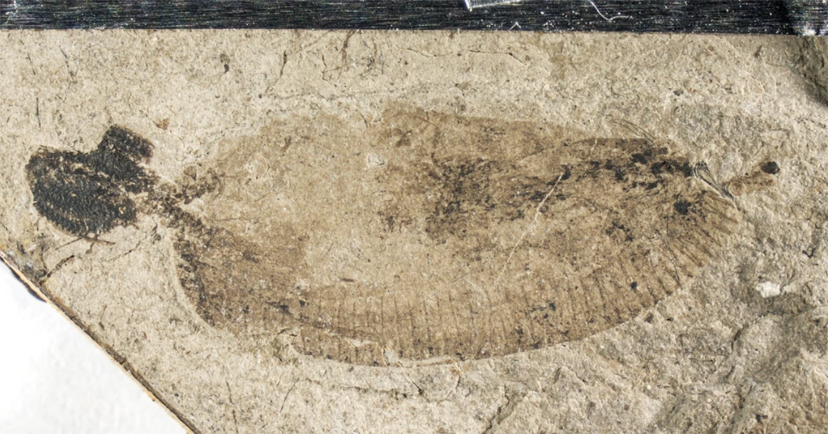
3D map dating back up to 13,000 years in the Paris basin, northern France - Photo: UNIVERSITY OF ADELAIDE
Archaeologist Anthony Milnes from the University of Adelaide said what they found was not a modern-style map, the kind that describes routes, distances, travel times... but a simulation of the activities of a landscape.
In this ancient 3D map, the surrounding landscape is depicted in detail with streams and rivers flowing from the highlands, the convergence of valleys, and the formation of lakes and marshes downstream.
“For Paleolithic people, the direction of water flow and the ability to perceive landscape features were probably more important than modern concepts such as distance and time,” said Dr Milnes.
Even more amazingly, this 3D map dates back 13,000 years.
Writing in the Oxford Journal of Archaeology , the authors said the discovery clearly shows the intellectual capacity, imagination and technical level of our ancestors at that time far beyond imagination.
This 3D map was discovered thanks to research into the origin of the Fontainebleau sandstone inside this ancient shelter.
During the study of the structures inside the rock tunnel, the team of scientists found small structures that could not have formed naturally.
Further analysis determined that it was indeed intentionally man-made.
This 3D map is said to have served the lives of the settlers there, including quarrying, which utilized hydraulics.
Even the blushing logo that made Ségognole 3 famous is related to this purpose.
A 2017 study found that ancient miners mined sandstone by mimicking the “triangle zone” structure to open up cracks suitable for water to seep into the sandstone, feeding the flow in a way that made it easier for them to mine the stone.
These two hydraulic works are located only 2-3 m apart, further supporting the hypothesis that they were created to serve the same quarrying purpose.
“This completely new discovery provides a deeper understanding of the capabilities of people from this period,” said Dr Milnes.
Before this discovery, the oldest known 3D map was thought to be a large portable stone tablet carved by Bronze Age people about 3,000 years ago.
So, the 13,000-year-old artifact in France is the oldest known 3D map in the world.
Source: https://nld.com.vn/soc-nguoi-tien-su-thiet-ke-ban-do-3d-tu-13000-nam-truoc-196250115164759155.htm


![[Photo] Overcoming all difficulties, speeding up construction progress of Hoa Binh Hydropower Plant Expansion Project](https://vstatic.vietnam.vn/vietnam/resource/IMAGE/2025/4/12/bff04b551e98484c84d74c8faa3526e0)


![[Photo] Closing of the 11th Conference of the 13th Central Committee of the Communist Party of Vietnam](https://vstatic.vietnam.vn/vietnam/resource/IMAGE/2025/4/12/114b57fe6e9b4814a5ddfacf6dfe5b7f)


Comment (0)