Due to the consequences of heavy rains after storm Yagi, an inter-commune road to National Highway 18C in the border belt of Binh Lieu district (Quang Ninh) was seriously eroded, causing local isolation.
Mountain collapsed, rocks fell and cut off inter-commune road
In early November, on the Huc Dong - Dong Van - Cao Ba Lanh inter-commune road phase 1, Giao thong Newspaper reporters recorded the consequences of storm number 3 on this road.
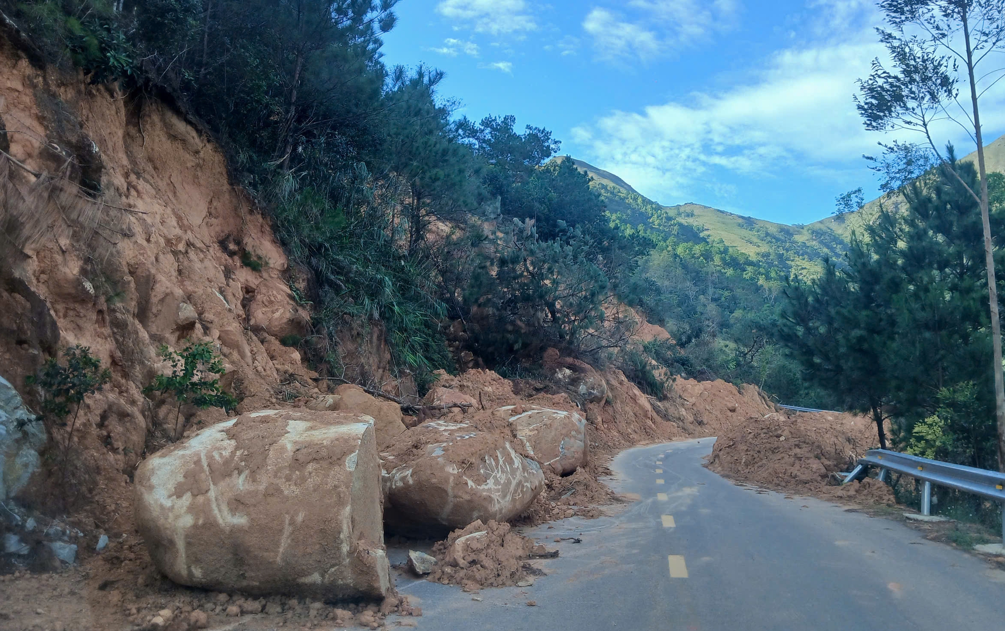
Many large landslides appeared on the inter-commune road in Binh Lieu (Quang Ninh).
The journey from the center of Huc Dong commune up to Dong Van commune has many sections where soil and rocks from the slopes have collapsed onto the road. In some places, large sections of the hill have fallen down from above, burying traffic signs and destroying some guardrails.
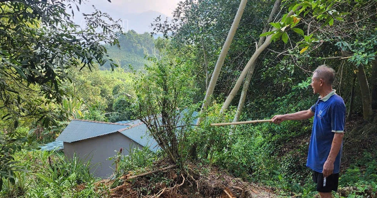
On many slopes tens of meters high, there have been many landslides and slides, with giant pieces of soil and rock showing signs of cracking, ready to collapse onto the road.
Chau, a Dao ethnic in Huc Dong commune, struggled to drive his motorbike over the large landslides on the road. Chau complained: When the road was first completed, there were many large landslides. Everyone is worried when traveling on this road, especially when it rains.
"The new road has opened, everyone is excited, but there are still many lurking dangers, people are also very worried," said Mr. Chau.
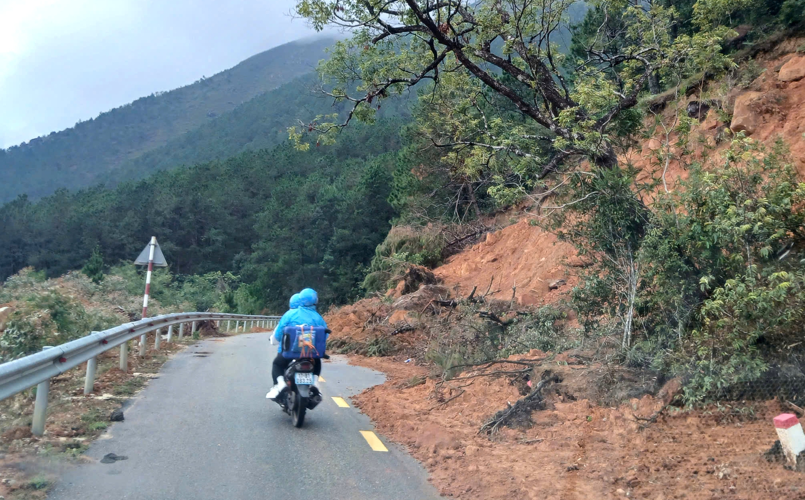
Currently, many landslides are still lurking, threatening passersby.
Talking to Giao thong Newspaper reporter, Mr. Nguyen Xuan Quang, Director of Quang Thao Construction Joint Stock Company (the contractor of the nearly 30km long route from Huc Dong commune to Cao Ly) said that this area has complex geological conditions, many high and steep mountains, so stratification and layering to create a slope is very difficult.
Therefore, although the construction was carried out according to design, after many heavy rains, many landslides appeared along the route. Especially after storm No. 3, dozens of large landslides appeared, completely cutting off the route.
"Currently, the project is still insured, so the company has proactively implemented remedial measures. However, this is a situation caused by natural disasters, with the cost of handling it possibly reaching billions of dong, so the company really hopes that the competent authorities will consider providing support," said Mr. Quang.
Whose responsibility is it?
In March 2024, the Huc Dong - Dong Van - Cao Ba Lanh inter-commune road connecting to National Highway 18C with a total investment of over 430 billion VND, invested by the People's Committee of Binh Lieu district, was basically completed and put into operation. The road is 43.27km long, 6.5m wide, a level V mountainous traffic project, with a total investment of 430 billion VND.
The project is implemented from the budget, by the People's Committee of Binh Lieu district in 699 months, starting from June 28, 2022 and implemented by a consortium of contractors including GMC Development Investment Joint Stock Company - Quang Thao Construction Joint Stock Company - Hoan Hao Company Limited.

Due to many design shortcomings, many areas on the road have a high risk of landslides (photo taken at the end of March 2024).
The project includes 2 routes: The Huc Dong - Dong Van route, 28.82km long, was completed in early 2024. The Cao Ba Lanh route connecting to National Highway 18C, 14.45km long, includes 2 branches: the route connecting National Highway 18C in Phat Chi village (Dong Van commune) connecting to Cao Ba Lanh peak, 8.88km long, and the branch connecting Huc Dong - Dong Van road with Cao Ba Lanh peak, 5.59km long, is still under construction.
Immediately after the 28.82km long section was completed, facing the situation of many landslides, the authorities of Quang Ninh province and Binh Lieu district inspected and evaluated the entire route to find solutions.
It is noteworthy that through the assessment of the points with steep slopes, it is impossible to stratify and cut layers because there are high mountains above. If stratification is implemented, it will continue to create weaker points. Therefore, the priority solution is to research and build a system of stone embankments to support landslides, and complete the drainage system...
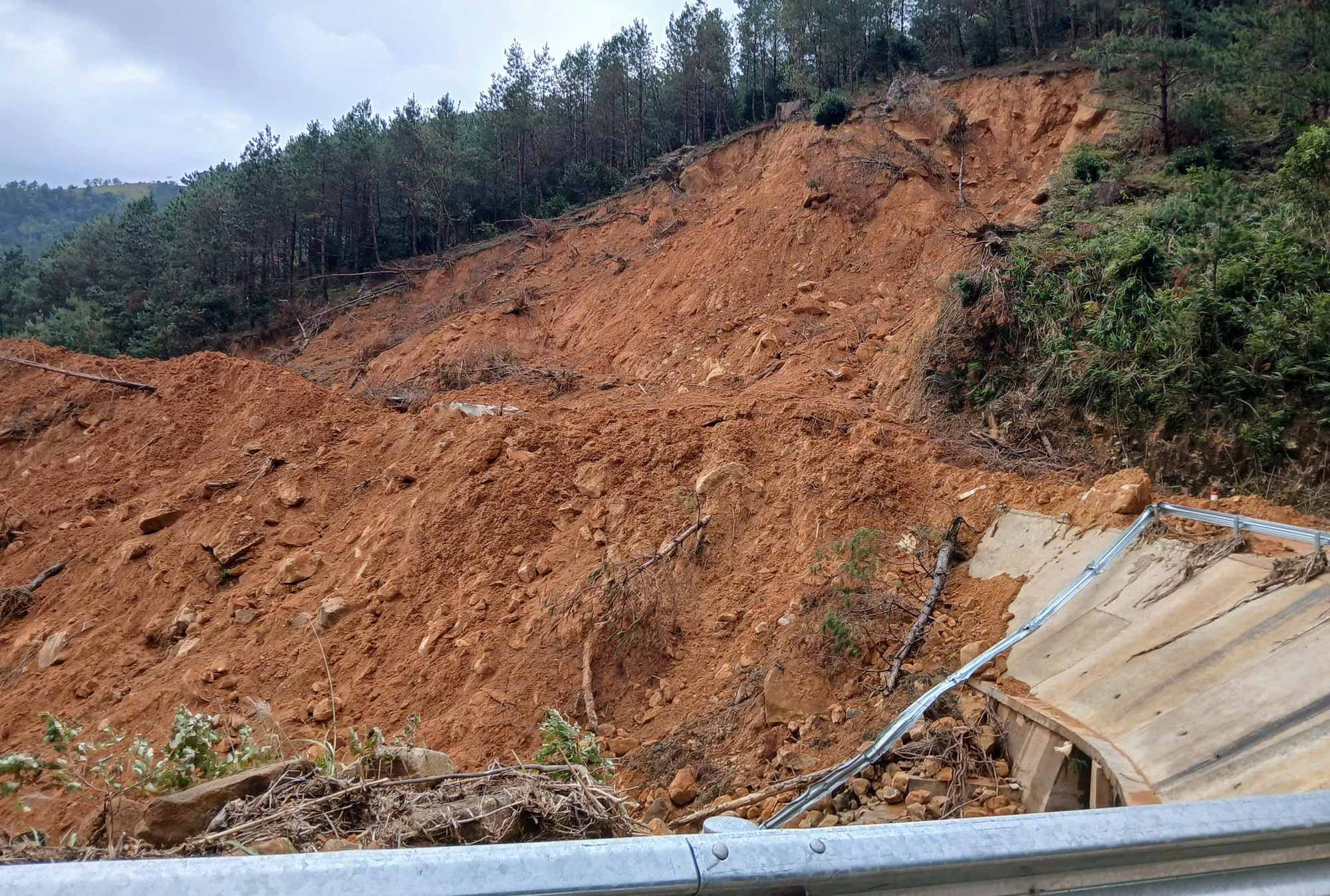
Many guardrails and signs were buried.
According to Mr. Hoang Van Minh, Director of the Project Management Board (PMU) of Binh Lieu District, the cause of the landslides that appeared right after the road was completed was due to the geological conditions of this area with many high mountains, deep ravines, and loose soil and rocks. Meanwhile, the survey and design process did not take into account all objective factors.
Although the investor has taken many measures to overcome the shortcomings, due to heavy rains after storm No. 3 hit the area in early September, the entire route has 58 landslides. Among them, many landslides are very large, causing complete separation.
Immediately after the landslides appeared, the unit organized cleanup, so up to now, the road has basically been cleared. The unit also coordinated surveys, developed plans for remediation and repair, including research on building embankment systems in vulnerable locations and drainage systems to minimize similar situations when heavy rain occurs...
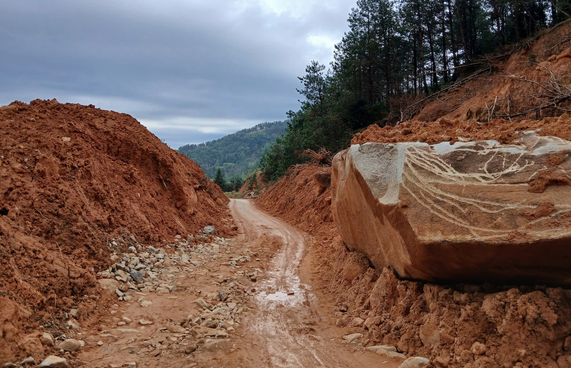
The new route is currently temporarily open.
"The project still has time to implement insurance, so we have invited the insurance company to inspect the site and carry out the responsibilities as signed. Currently, the company is waiting for the insurance company to consider the responsibilities to report to the District People's Committee to take remedial measures according to regulations," said Mr. Minh.
Source: https://www.baogiaothong.vn/duong-lien-xa-hon-430-ty-vua-lam-xong-da-sat-lo-192241031180612978.htm


![[Photo] Closing of the 11th Conference of the 13th Central Committee of the Communist Party of Vietnam](https://vstatic.vietnam.vn/vietnam/resource/IMAGE/2025/4/12/114b57fe6e9b4814a5ddfacf6dfe5b7f)






![[Photo] Overcoming all difficulties, speeding up construction progress of Hoa Binh Hydropower Plant Expansion Project](https://vstatic.vietnam.vn/vietnam/resource/IMAGE/2025/4/12/bff04b551e98484c84d74c8faa3526e0)





















Comment (0)