
(TN&MT) - That was the emphasis of Deputy Minister of Natural Resources and Environment Nguyen Thi Phuong Hoa at the Conference to review the work in 2024 and deploy tasks in 2025 of the Department of Surveying, Mapping and Geographic Information of Vietnam held on the morning of January 7, in Hanoi.
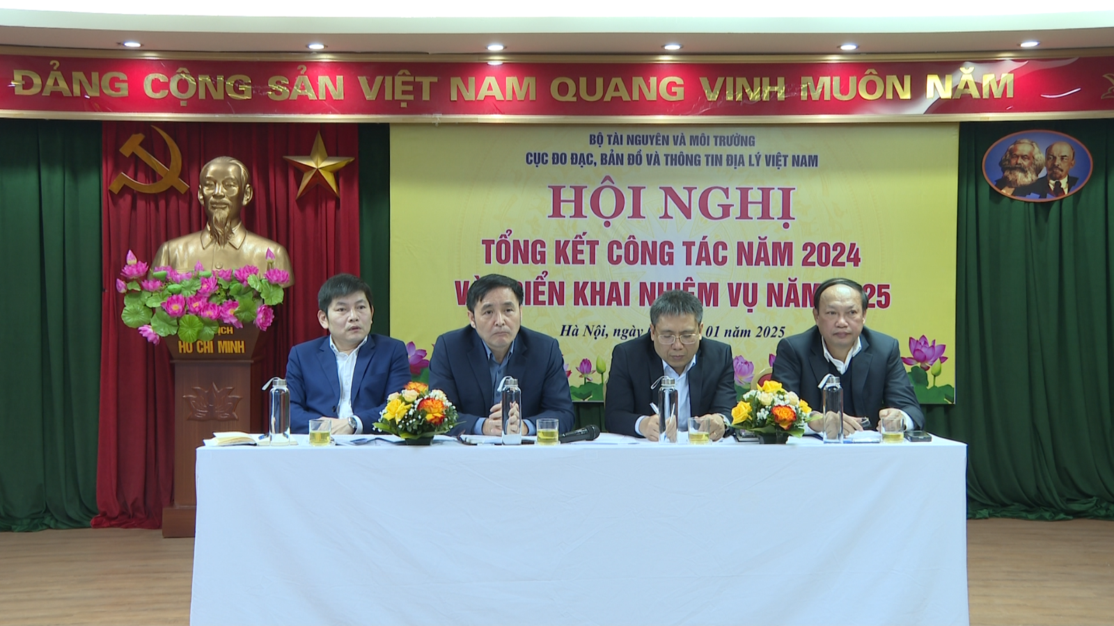
Attending the Conference were leaders of the Ministry's functional departments, the Ministry's Office, leaders of a number of units under the Ministry of Natural Resources and Environment, along with all leaders, civil servants, public employees and workers of the Department of Surveying, Mapping and Geographic Information of Vietnam.
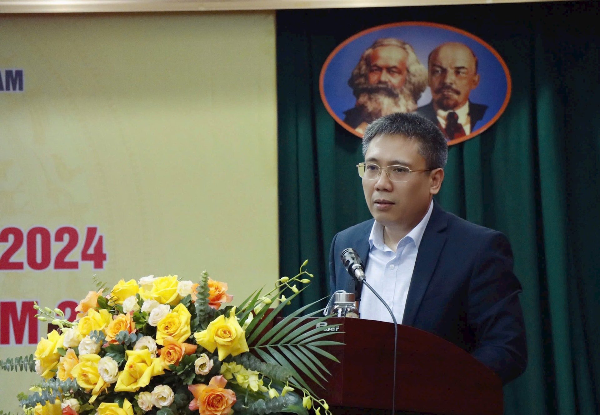
In his summary report at the Conference, Mr. Duong Van Hai, Deputy Director of the Department of Surveying, Mapping and Geographic Information of Vietnam, said that in 2024, the Department of Surveying, Mapping and Geographic Information of Vietnam achieved many important achievements, affirming its key role in providing geographic information to serve socio-economic development, ensuring national security and defense, and protecting national sovereignty.
Notably, in the past year, the Department completed the development of 6 Circulars, one Circular ahead of schedule compared to the set plan, ensuring a complete legal framework for management activities, contributing to the completion of the legal system in the field of surveying and mapping. In addition, the Department conducted inspections of law enforcement in Thai Binh, Nam Dinh, Ninh Binh and Dak Lak provinces, ensuring transparency and efficiency in management, while supporting localities in resolving issues related to administrative boundaries.
Online public services, receiving and returning administrative procedure results continue to be a bright spot in 2024 when the Department of Surveying, Mapping and Geographic Information of Vietnam has processed more than 8,200 records providing data on surveying and mapping; granted licenses for surveying and mapping activities to 230 organizations, of which more than 7,100 records were processed online. This activity not only saves time and costs for people and businesses but also contributes to promoting digital transformation in surveying and mapping management.
In addition to completing legal documents, the Department also focuses resources on implementing projects, projects, and specialized tasks assigned by the Government such as: Project to complete and modernize administrative boundary records and maps and build a database on administrative boundaries; Project to supplement and update geographic database of regional scales in the Northern and North Central provinces (from Thua Thien Hue and beyond); Project "Measuring and drawing seabed topographic maps at a scale of 1:50,000 for the remaining areas of the Gulf of Tonkin to serve the sea management tasks of relevant ministries, branches, and localities"...
Along with that, the Department has actively coordinated with relevant ministries, branches and localities to organize the implementation of legal documents on the land borders of Vietnam - China, Vietnam - Laos and Vietnam - Cambodia according to the Protocol on demarcation and marker planting and the Agreement on border management regulations; participated in the Joint Expert Group to conduct bilateral surveys in areas where the two sides still have different perceptions of the direction of the border in the field; coordinated with the Ministry of Foreign Affairs to develop a project to resolve areas where there is no agreement on reviewing and transferring the border line and areas with incomplete demarcation and marker planting...
In 2024, the Department signed an extension of the Memorandum of Understanding with the Geospatial Information Institute of Japan (GSI) and promoted an ODA project to expand the national satellite positioning station network. At the same time, the Department actively participated in regional and international conferences, affirming Vietnam's position in the field of surveying and mapping.
At the Conference, representatives of leaders of units under the Department of Surveying, Mapping and Geographic Information of Vietnam and representatives of leaders of functional units of the Ministry discussed and proposed tasks and solutions to remove difficulties and obstacles in order to further improve the effectiveness of state management in the field of surveying and mapping in the coming time.
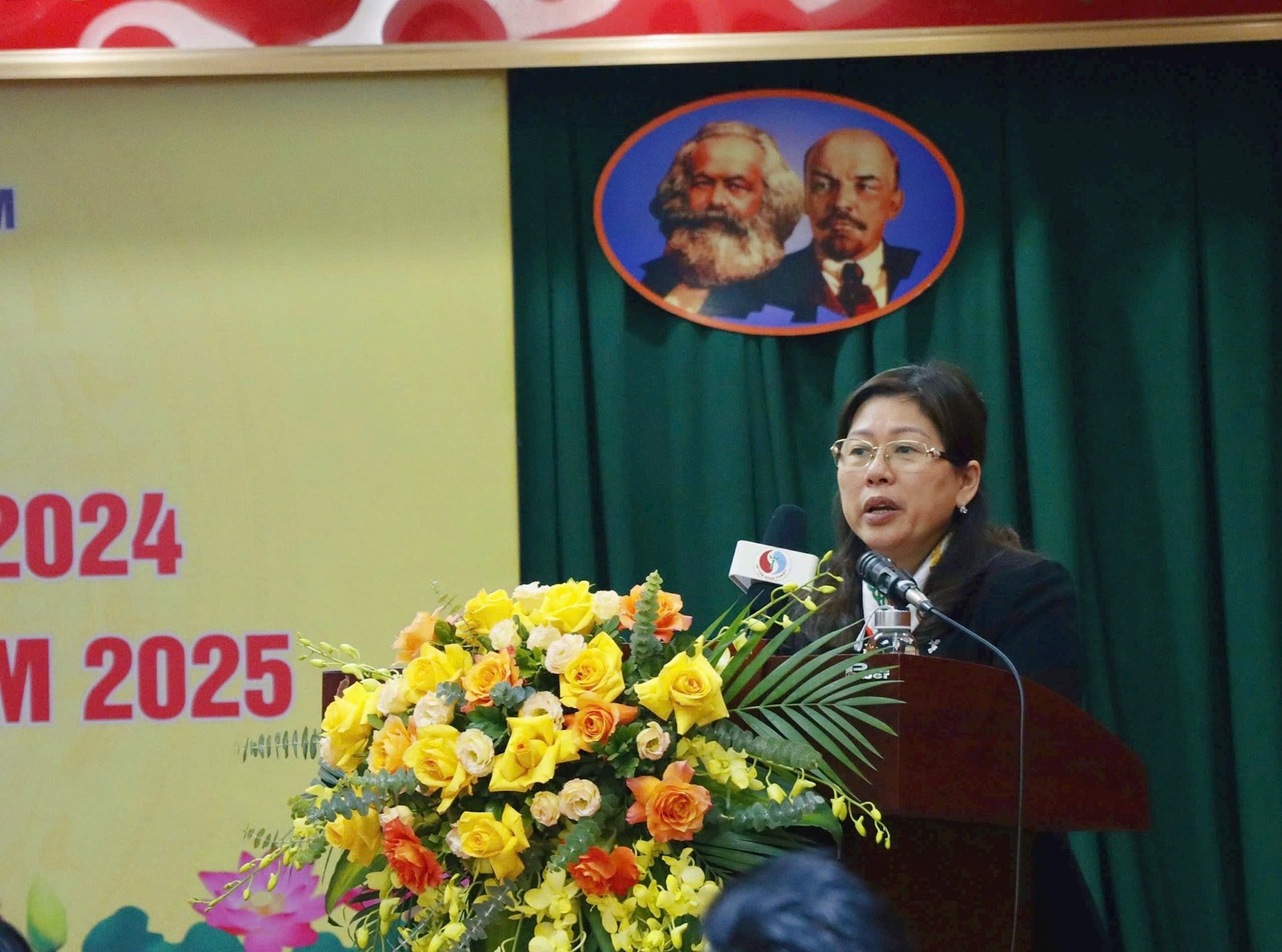
Speaking at the Conference, Deputy Minister Nguyen Thi Phuong Hoa acknowledged and highly appreciated the results achieved in 2024 by the Department of Surveying, Mapping and Geographic Information of Vietnam. The Deputy Minister especially commended the Department for completing the work of drafting legal documents as well as focusing on effectively implementing assigned tasks and plans... making an important contribution to the state management of surveying and mapping.
Entering 2025, Deputy Minister Nguyen Thi Phuong Hoa requested the Department to continue promoting the development of legal documents to contribute to ensuring a complete legal framework for state management activities on surveying and mapping; strengthen inspection and supervision of the implementation of policies and laws on surveying and mapping.
Along with that, the Department needs to focus on implementing projects to supplement and update the national geographic database system and national topographic maps at modern, synchronous and unified scales throughout the country on the mainland, seas and islands of Vietnam to serve the construction of a national geospatial data infrastructure to meet the state management requirements of ministries, branches and localities.
According to Deputy Minister Nguyen Thi Phuong Hoa, the Vietnamese surveying and mapping sector plays an important role in resource management, protecting territorial sovereignty, developing infrastructure and supporting planning and construction work. In the current context, when the country is carrying out administrative reform, promoting digital transformation and international integration, the Surveying and Mapping sector needs to continue to innovate, increase the application of advanced and modern technologies, improve the quality of professional work, provide timely geographic information to serve the sustainable development of the country's economy and society, ensure national defense and security and protect national sovereignty.
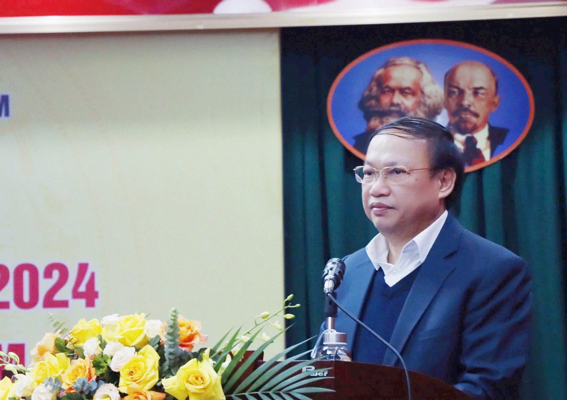
Speaking at the Conference, on behalf of the leaders of the Department of Surveying, Mapping and Geographic Information of Vietnam, Director Hoang Ngoc Lam thanked the Deputy Minister and the units for their attention, and at the same time, accepted the Deputy Minister's direction and comments from the units to complete the report. The Department of Surveying, Mapping and Geographic Information of Vietnam hopes to continue to receive more attention and better coordination from the units to excellently complete the task of ensuring the quality and progress set out.
According to Director Hoang Ngoc Lam, in 2025, the Department of Surveying, Mapping and Geographic Information of Vietnam has set out a number of key tasks that need to be focused on implementing, such as: Continuing to develop and perfect 4 legal documents under the authority of the Minister; organizing the implementation of inspections of compliance with the law on surveying and mapping in a number of localities; focusing on implementing well the key tasks assigned by the Government and the Ministry according to plan; continuing to do well in border and boundary work and promoting international cooperation.
Source: https://baotainguyenmoitruong.vn/doi-moi-ung-dung-cong-nghe-tien-tien-hien-dai-trong-linh-vuc-do-dac-va-ban-do-385402.html
![[Photo] Ho Chi Minh City speeds up sidewalk repair work before April 30 holiday](https://vstatic.vietnam.vn/vietnam/resource/IMAGE/2025/4/3/17f78833a36f4ba5a9bae215703da710)
![[Photo] A brief moment of rest for the rescue force of the Vietnam People's Army](https://vstatic.vietnam.vn/vietnam/resource/IMAGE/2025/4/3/a2c91fa05dc04293a4b64cfd27ed4dbe)
![[Photo] Prime Minister Pham Minh Chinh chairs the first meeting of the Steering Committee on Regional and International Financial Centers](https://vstatic.vietnam.vn/vietnam/resource/IMAGE/2025/4/3/47dc687989d4479d95a1dce4466edd32)

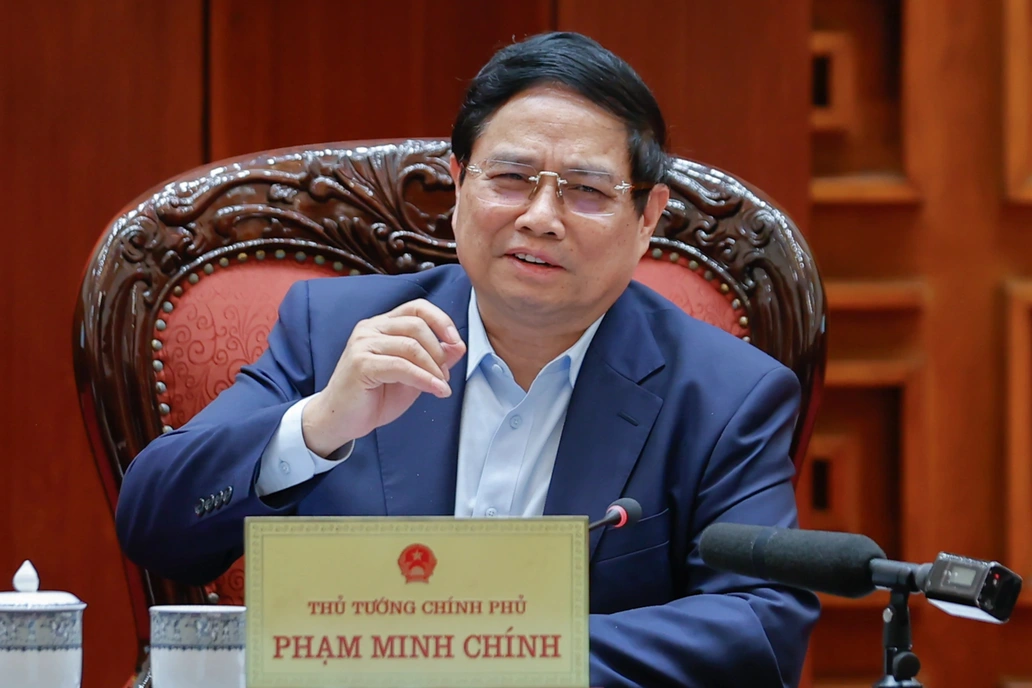
![[Photo] Prime Minister Pham Minh Chinh chairs meeting after US announces reciprocal tariffs](https://vstatic.vietnam.vn/vietnam/resource/IMAGE/2025/4/3/ee90a2786c0a45d7868de039cef4a712)
![[Photo] General Secretary To Lam receives Japanese Ambassador to Vietnam Ito Naoki](https://vstatic.vietnam.vn/vietnam/resource/IMAGE/2025/4/3/3a5d233bc09d4928ac9bfed97674be98)


Comment (0)