The Saigon River is proposed to be divided into four main sub-zones to develop spatial advantages and coastal corridors in parallel with preserving historical and cultural values.
The proposal was made by the consulting consortium of the Vietnam Science and Expert Organization Global (AVSE Global) and the Paris Regional Planning Institute (IPR) at the Workshop on spatial and functional development along the Saigon River based on France's experience on the Senine River , on the afternoon of March 2.
This is the first time that comprehensive studies on the potential exploitation of the river have been discussed, after the Secretary of the Ho Chi Minh City Party Committee Nguyen Van Nen and a working delegation from the city visited and learned about the planning experience of the Senine River in Paris in the middle of last year.
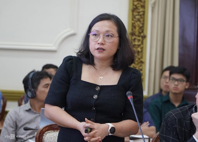
Dr. Nguyen Thu Tra, Director of the Saigon River Corridor Development Strategic Planning Project (AVSE Global), at the workshop on the afternoon of March 2. Photo: Gia Minh
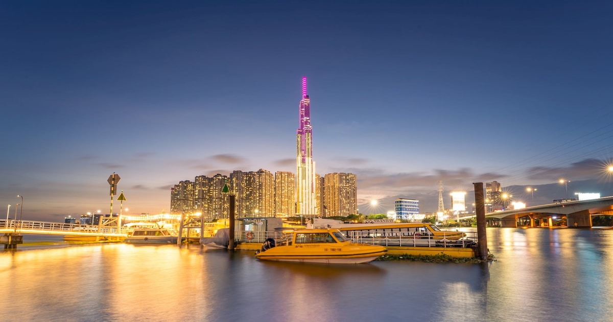
The Saigon River is 256 km long, starting from Binh Phuoc then passing through Tay Ninh, Binh Duong and Ho Chi Minh City. The section of the river flowing through Ho Chi Minh City, about 80 km long, is likened to a "soft silk strip" winding through the heart of the city, creating beautiful peninsulas such as Thanh Da or Thu Thiem. However, many riverbank areas are currently encroached upon, greatly affecting the synchronous development of the entire river.
Dr. Nguyen Thu Tra, representative of the research team, said that along the Saigon River flowing through Ho Chi Minh City, there are many different territories and environments, so it requires adjustments to separate spatial planning to exploit potentials as well as preserve old values. Therefore, the team proposed to develop the river corridor into 4 sub-zones, based on its own advantages and characteristics.
The first subdivision was studied in the direction of connecting identities, located at the end of the river crossing Cu Chi district connecting Ben Cat town (Binh Duong). This area is still wild in many parts, so the group proposed to develop natural parks to preserve and enhance agriculture, landscape, and heritage in the suburbs of Ho Chi Minh City.
The second subdivision is in the East of Ho Chi Minh City, mostly located on the border between the city and Binh Duong. According to the research team, this section has a suburban landscape, so it can form a "crossover" space between urban and rural areas. In particular, this place will develop an "agricultural park" combining entertainment, ecology, and tourism stimulation...
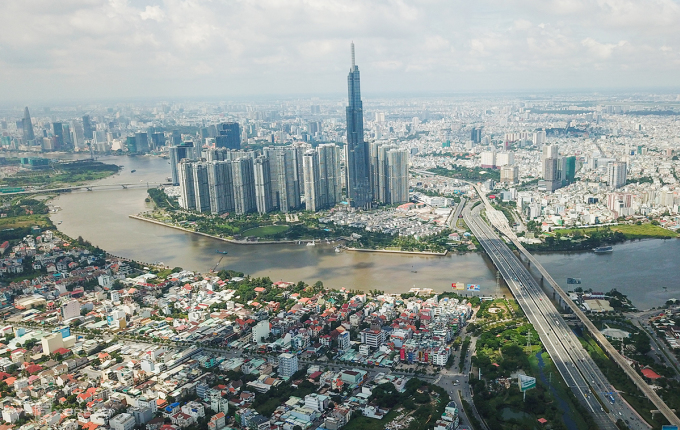
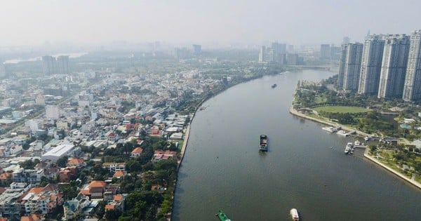
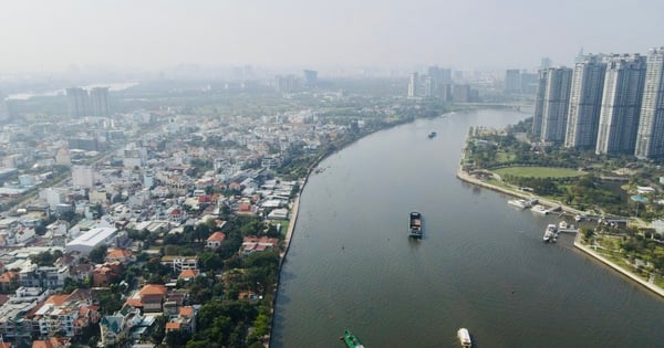
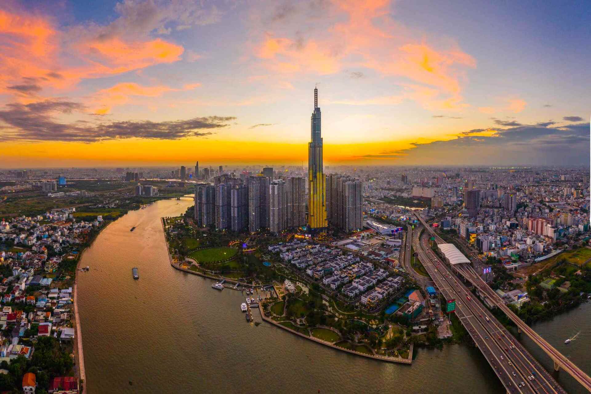
Saigon River through the center of Ho Chi Minh City. Photo: Quynh Tran
The third subdivision focuses on Thanh Da peninsula (Binh Thanh district) and surrounding areas. This area is proposed to develop high-density mixed-use urban areas and flooded agricultural and recreational parks...
Finally, the section through the city center, from the Dong Nai River junction to Saigon Bridge. This section of the river is the entrance to the core urban area of Ho Chi Minh City, passing through some of the oldest and most populous districts. Therefore, the Saigon River corridor here is oriented to be a multifunctional complex with modern works, creating highlights... demonstrating the development of Ho Chi Minh City.
In addition, the consulting unit also proposed developing world-class cultural activities along with large-scale commercial and service platforms, concentrated in the Tan Thuan area (District 7). "However, Ho Chi Minh City is facing a major problem with complex climate change, frequent flooding and subsidence, so the research and planning process needs to incorporate factors for appropriate adaptation," said Ms. Tra.
At the workshop, Associate Professor Dr. Nguyen Hong Thuc, Hanoi National University, commented that among the development drivers of Ho Chi Minh City, the marine economy is a breakthrough strategy but has not been mentioned by the consulting group. Therefore, she believes that the planning of the Saigon River corridor should not stop at 4 sub-zones but should connect to the Soai Rap River in Can Gio, towards the sea.
"HCMC has a great opportunity on the international maritime map as it can be an intermediary point connecting goods sources for the region," said Ms. Thuc, believing that if the city cannot connect rivers with the sea, it will continue to slow down development and miss many opportunities.

Chairman of Ho Chi Minh City People's Committee Phan Van Mai at the workshop on the afternoon of March 2. Photo: Gia Minh
Chairman of the Ho Chi Minh City People's Committee Phan Van Mai said that the city is urgently implementing three plans, including: the city in the 2021-2030 period, with a vision to 2050; adjusting the general planning of Ho Chi Minh City to 2040, with a vision to 2060 and the general planning of Thu Duc City.
In particular, the Saigon River is identified by the city as the center and highlight in the above plans. Therefore, the ideas and research of experts will help Ho Chi Minh City update, select and include in the plans in the area. "The development orientation of the river corridor will be based on the principle of preserving natural, cultural and historical values but also exploiting them reasonably in the development process," said Mr. Mai.
Gia Minh
Source link














![[Photo] Prime Minister Pham Minh Chinh chairs Government Conference with localities on economic growth](https://vstatic.vietnam.vn/vietnam/resource/IMAGE/2025/2/21/f34583484f2643a2a2b72168a0d64baa)

















Comment (0)