
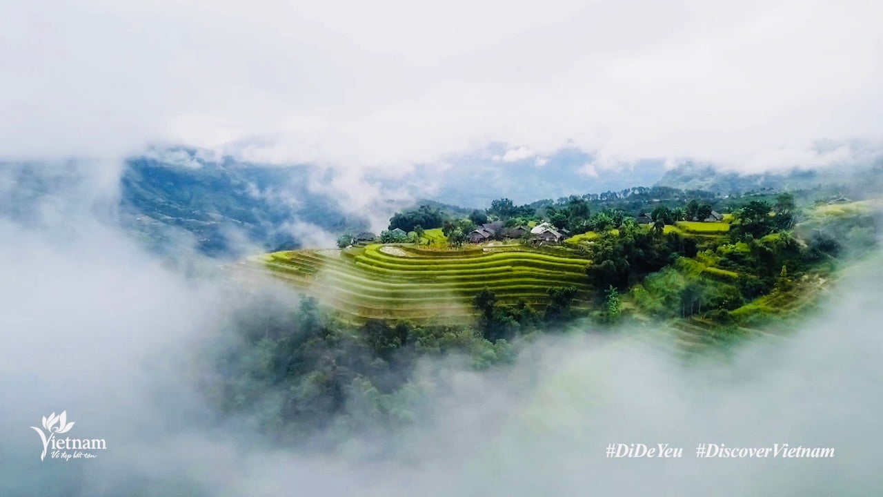
It was not until this May, when the eastern side of Truong Son was scorchingly sunny, the Lao wind was blowing harshly, and the western side was pouring rain, that I made the trip to Khe Ve - Quang Binh junction and turned onto Highway 12A towards Mu Gia Pass amidst the deep green forests. From here, looking up is the Giang Man mountain range, looking down is a deep valley, dotted with villages of the Chut, Sach, Khua, and May people who have lived there for generations.
This is also Cha Lo - the last point in Vietnam of the Truong Son range to Laos and the name of a village of the Chut ethnic group, in Dan Hoa commune, Minh Hoa district.

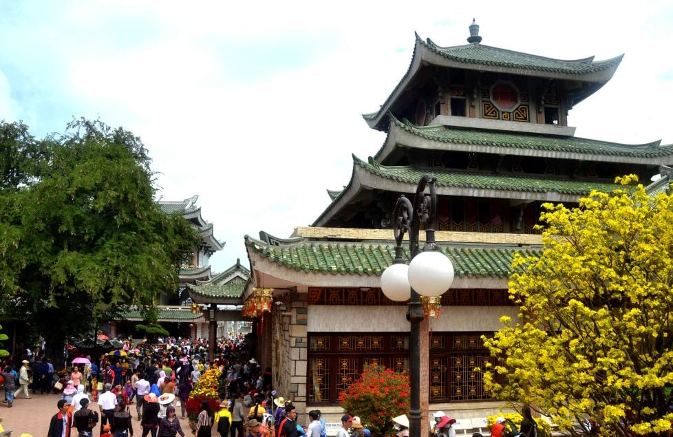
Cha Lo International Border Gate
In the early 20th century, the French authorities began to promote the construction of a transportation system, including railways, waterways and roads, to carry out colonial exploitation, transport natural resources and spoils of war in Indochina to the seaports of the Central region and then bring them back to the mother country...
In Quang Binh alone, the French capitalists paid great attention to the rich resources of Central Laos, despite the fragmented terrain, many high mountains, rivers and streams, urging the government to quickly open roads connecting the provinces of Laos. A typical example is the road from Tan Ap station, Tuyen Hoa district (connecting National Highway 12A from the intersection with National Highway 1 in Ba Don town, Quang Binh province) to Cha Lo border gate. This is also the Mu Gia pass peak area, about 70km long before connecting with Laos's Highway 12 (Na Phao - Laos border gate) leading to Tha Khet town, in Khammouane province, located on the Mekong River.
However, transportation by road seemed ineffective because the mountain pass was winding like a spring, so in 1929, the French built an additional "Air Railway" - called "Air Railway" at that time - to cross the high mountains to transport goods more safely and conveniently.
To carry out this plan, the government forced thousands of laborers to dig mountains, build bridges, and open roads into the deep forest under extremely difficult and disease-ridden conditions due to the miasma of Lam Son. The story goes that the project was constructed entirely by human power and without the support of machinery. Except for the need to destroy mountains, dynamite was used, so accidents often occurred, the most serious of which was the collapse of Thanh Lang and Ca Tang tunnels, which killed many laborers.

Cha Lo Heaven Gate facing east
After 5 years of hard work, a unique transport project with a total length of about 60km, the first in Southeast Asia at that time, was born. The first stage is an overland railway for trains including many "rail cars" (a type of car designed with iron wheels running on rails) from Cha Mac station through the plains, some sections of the road are on high pillars or go into solid tunnels through the mountains such as Thanh Lang, Treng tunnel... with a system of stations established along the route for the purpose of transiting goods or resting places. Finally, the train will stop at Lam Hoa station. Here, the cargo boxes will be transported to Na Phao village - Laos by cable car, rotating on a solid support system of reinforced concrete.
The elderly here said: In the past, the train often carried rice and food from Vietnam to Laos, and in the opposite direction it would carry opium, alluvial gold, tin, and other valuable products that the French army had captured in Laos during their rule.
After 1945, the "Air Railway" route was destroyed due to continuous war. The remaining ruins are a row of mossy stone pillars and some tunnels cut through the mountain that can now be seen when visitors pass through Thanh Hoa commune, Tuyen Hoa district.

Cha Lo Heaven Gate facing west is covered with bomb scars.
Only National Highway 12A continued its historical mission when it was renovated, expanded and upgraded by the State to serve the lives of people in the region. Especially since 1965, after the two governments of Vietnam and Laos agreed, 21A became the vital road connecting the East and West Truong Son for troops to gather and prepare to go to the South, and at the same time played an important role in transporting equipment and logistics through Laos and then transferring them to the battlefield in the South. Therefore, during the period from 1965 to 1973, warehouses, weapons, fuel depots and key points from Khe Ve intersection (40km from the border) to Mu Gia Pass, Cha Lo... were fiercely bombed by the US Air Force.
Today, riding a motorbike through a line of container trucks entering the Cha Lo International Border Gate on the trans-Asian trade route between Vietnam and Laos, northeastern Thailand and Myanmar, it is hard to imagine that this land was once a remote place. It is also difficult to find traces of the devastation of a time of bombs and bullets when the war has been over for more than 50 years, most of the fierce key points of the past are now memorialized, with monuments recording the place names, summaries of events, characters, and agencies associated with the relics... Cha Lo's appearance is gradually developing into a bustling urban area.
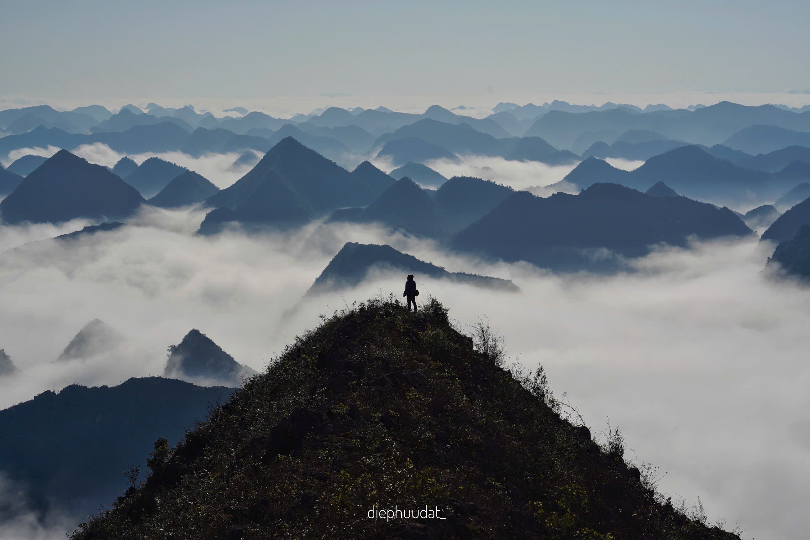
Is there only Heaven's Gate left....

Highlanders next to stilt houses in Cha Lo
Following the locals’ instructions, I turned onto a small road that used to be the old Highway 12A, hidden behind the forest about 7 km from Cha Lo border gate, leading to Heaven’s Gate. The image of the Heaven’s Gate area today may be slightly different from the documentary photo because the management board has erected a memorial stele and a shrine to the soldiers who died here below the relic, but the two giant rocks leaning against each other to form a large archway surrounded by caves, cliffs, abysses, and lush green trees that once sheltered convoys of military trucks, tanks, porters carrying goods, and troops marching to the front lines are still intact. Somewhere on the cliffs on both sides of the gate, there are still bomb and bullet holes.
The Khua ethnic people often tell stories about a couple, Y Leng and Thong Ma, who were deeply in love with each other. One day, Y Leng was rafting across the river to go into the forest to gather food. Unfortunately, a river snake sank the raft and trapped her in a deep cave and killed her. Thong Ma was very sad and determined to level the mountain, carry rocks to fill the cave and kill the river snake to avenge his lover. Sadly, one day, because the load was too heavy, he was exhausted and died. At the same time, the shoulder pole broke, causing two rocks to fall together like a couple leaning their heads against each other. The villagers believe that the souls of Y Leng and Thong Ma have transformed into rocks to be together forever.
Because this place is often covered in clouds, sometimes thickly covering it, sometimes flowing over two rocks like heaven, the villagers named it Heaven's Gate.

The author stands next to milestone 528 defining the Vietnam - Laos border at Cha Lo international border gate.
Source link


Comment (0)