Storm No. 3 Yagi entering the Gulf of Tonkin continues to weaken, reaching level 14, gusting to level 17; about 300km from Quang Ninh province. Co To Island has experienced strong gusts of level 7.
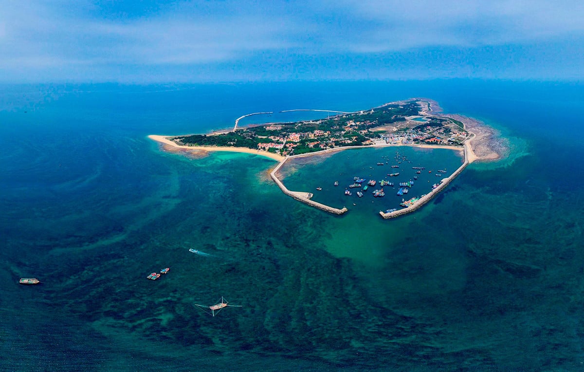
In the past 3 hours, storm No. 3 Yagi continued to decrease by 1 level and entered the Gulf of Tonkin. Due to the influence of storm No. 3's circulation, Bach Long Vi island has strong winds of level 8, gusting to level 10. Co To island has strong gusts of level

The path of storm No. 3 Yagi updated as of 10:00 p.m. on September 6. Source: NCHMF
According to the National Center for Hydro-Meteorological Forecasting, as of 10pm tonight (September 6), the center of storm No. 3 is located in the eastern sea of the Gulf of Tonkin; about 310km east-southeast of Quang Ninh. The strongest wind near the center of the storm is level 14 (150-166km/h), gusting to level 17, moving in the West-Northwest direction, at a speed of 15-20km/h.
Thus, after making landfall on Hainan Island (China), typhoon Yagi has decreased by 2 levels.
Storm forecast (in the next 24 to 48 hours) :

On the night of September 6, updating the developments of storm No. 3 Yagi, Mr. Hoang Phuc Lam, Deputy Director of the National Center for Hydro-Meteorological Forecasting, said that in the past 2 hours, storm No. 3 moved quickly in a westerly direction at a speed of 20km/h. It is forecasted that in the next 3 hours, storm Yagi will move in a westerly and west-northwesterly direction at a speed of 15-20km/h.
“In the next 2 hours, the convective clouds will be better organized, and storm No. 3 will tend to strengthen again. However, because the circulation of storm No. 3 is still under the influence of Hainan Island and mainland China, the strengthening will not be much,” said Mr. Lam.

Mr. Hoang Phuc Lam, Deputy Director of the National Center for Hydro-Meteorological Forecasting, informed about the developments of storm No. 3 on the night of September 6 and said that storm Yagi had decreased by 2 levels. Photo: NCHMF
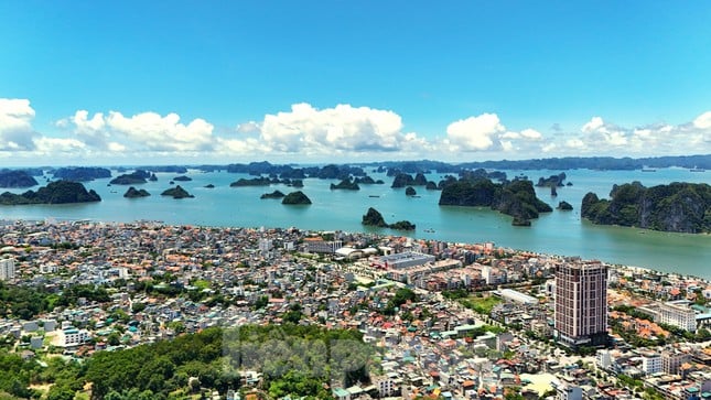
According to Mr. Lam, Mong Cai (Quang Ninh province) is forecasted to be the first area to experience strong winds, around 1-4am on September 7; the wind will gradually increase to level 6. After that, the strong wind area will expand to the southern areas of Quang Ninh and Hai Phong.
“We still identify Quang Ninh and Hai Phong as the focus of this strong wind area. There is a possibility that the wind in this area will reach level 11, 12 in coastal areas, with the possibility of a level 4 natural disaster risk. In coastal areas of Thai Binh, Nam Dinh, Ninh Binh, Thanh Hoa, the wind is forecast to reach level 8, level 9, gusting to level 10, 11,” Mr. Lam emphasized.
From 1am tonight, rain will gradually increase inland, Quang Ninh, Hai Phong, Thai Binh, Nam Dinh rainfall is forecast to reach 200-350mm.
Around 4-7am on September 7, the Hanoi area will begin to be affected by the storm.
Specifically forecast the impact of the storm
Strong wind
The northwest sea area of the North East Sea on the night of September 6 still had strong winds of level 8-9, near the storm center of level 10-12, gusting to level 15; the sea was very rough. On September 7, the wind gradually decreased.
The Gulf of Tonkin (including Bach Long Vi and Co To island districts) has strong winds of level 8-9, then increasing to level 10-11, the area near the storm's eye has winds of level 12-14, gusting to level 17; the sea is very rough.
On land: From midnight September 6 to early morning September 7, coastal areas from Quang Ninh to Thanh Hoa will have strong winds of level 6-7, then increasing to level 8-9, areas near the storm center will have winds of level 10-12, gusting to level 14; areas deep inland in the Northeast will have strong winds of level 6-8, gusting to level 9-11 (the strongest winds will be from morning to evening September 7).
Rising water, big waves
The northwest sea area of the North East Sea on the night of September 6 still had waves 3-5m high. On September 7, the wave height gradually decreased.
In the Gulf of Tonkin (including Bach Long Vi and Co To island districts), waves are 3-5m high, and 6-8m high near the storm's eye.
From early morning of September 7, coastal waters from Quang Ninh to Thanh Hoa had waves 2-3m high, later increasing to 2-4m, near the storm center 3-5m.
Storm surge/ebb
Coastal areas from Thanh Hoa to Quang Ninh need to be on guard against storm surges of 0.5m (Thanh Hoa) - 2m (Quang Ninh) in the afternoon and night of September 7 and storm recedes, about 0.5m (Thanh Hoa) - 1m (Quang Ninh) appearing on the morning of September 7.
Boat mooring areas, aquaculture areas, dykes and seawalls in the above-mentioned dangerous areas are all likely to be affected by strong winds, large waves and storm surges/ebb.
Low-lying coastal and estuary areas should be on guard against flooding due to rising water and large waves.
Heavy rain
From early morning of September 7 to morning of September 9, in the Northern region and Thanh Hoa, there is a possibility of heavy rain with total rainfall ranging from 100-350mm, in some places over 500mm (the heaviest rain in the Northeast region will be concentrated during the day and night of September 7; in the Northwest region from the evening of September 7 to the night of September 8).
Heavy rains can cause flooding in low-lying areas; flash floods in small rivers and streams, and landslides on steep slopes.
In addition, due to the influence of the wide storm circulation, on the night of September 6, in the Northwest region, the area from Thanh Hoa to Thua Thien Hue needs to be on guard against the risk of thunderstorms, tornadoes and strong gusts of wind before the storm hits.
Vietnamnet.vn
Source: https://vietnamnet.vn/bao-so-3-yagi-vao-vinh-bac-bo-tiep-tuc-giam-cuong-do-co-to-gio-giat-cap-7-2319242.html

![[Photo] A brief moment of rest for the rescue force of the Vietnam People's Army](https://vstatic.vietnam.vn/vietnam/resource/IMAGE/2025/4/3/a2c91fa05dc04293a4b64cfd27ed4dbe)
![[Photo] Moment of love: Myanmar people are moved to thank Vietnamese soldiers](https://vstatic.vietnam.vn/vietnam/resource/IMAGE/2025/4/3/9b2e07196eb14aa5aacb1bc9e067ae6f)

![[Photo] General Secretary To Lam receives Japanese Ambassador to Vietnam Ito Naoki](https://vstatic.vietnam.vn/vietnam/resource/IMAGE/2025/4/3/3a5d233bc09d4928ac9bfed97674be98)
![[Photo] Prime Minister Pham Minh Chinh chairs meeting after US announces reciprocal tariffs](https://vstatic.vietnam.vn/vietnam/resource/IMAGE/2025/4/3/ee90a2786c0a45d7868de039cef4a712)
![[Photo] Special relics at the Vietnam Military History Museum associated with the heroic April 30th](https://vstatic.vietnam.vn/vietnam/resource/IMAGE/2025/4/3/a49d65b17b804e398de42bc2caba8368)
























Comment (0)