
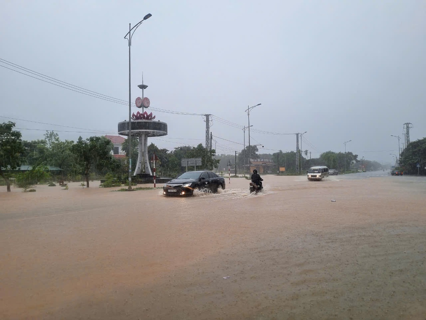
At 12 noon on October 27, heavy rain caused by storm No. 6 flooded many roads and culverts in Quang Tri, causing traffic jams.
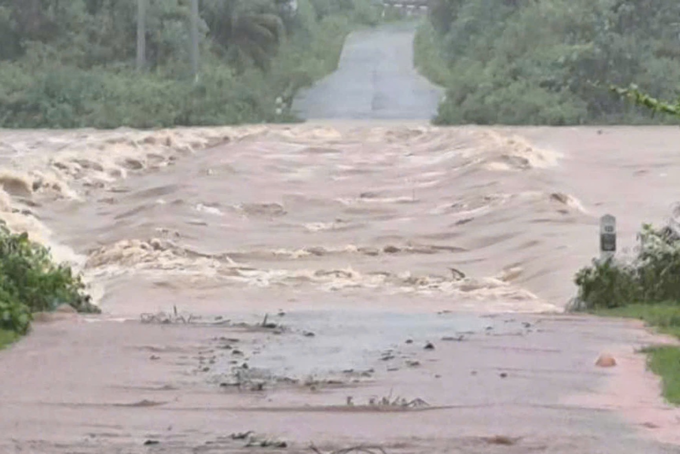
In Dakrong district, Dakrong spillway bridge at km0+307, on National Highway 15D was flooded 1.2m deep; the spillway at km8+560 on Highway DT571 was flooded 0.35m deep, causing traffic congestion.
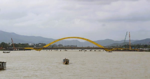
In Vinh Linh district, some communes have been flooded, the river water is rising rapidly, close to the edge of the left dike of Ben Hai river and about to overflow the dike.
In Huong Hoa district, heavy rains caused water levels to rise, inundating culverts and spillways by 0.3-0.5m; causing isolation. At deeply flooded areas, the locality deployed shock troops, police, and military to guard and set up barriers to ensure safety and prevent people and vehicles from passing through.
In Quang Tri town, erosion and flooding occurred in some low-lying areas, 8 households were flooded.
Storm No. 6 also caused a number of high-voltage power poles in Trieu Lang commune, Trieu Phong district to fall. In Vinh Linh district, the storm affected the power system, causing 18,000 households to lose power.

At noon on October 27, according to Dan Tri reporters, the wind in coastal areas of Quang Binh, Quang Tri, Thua Thien Hue, Da Nang and Quang Nam has decreased.
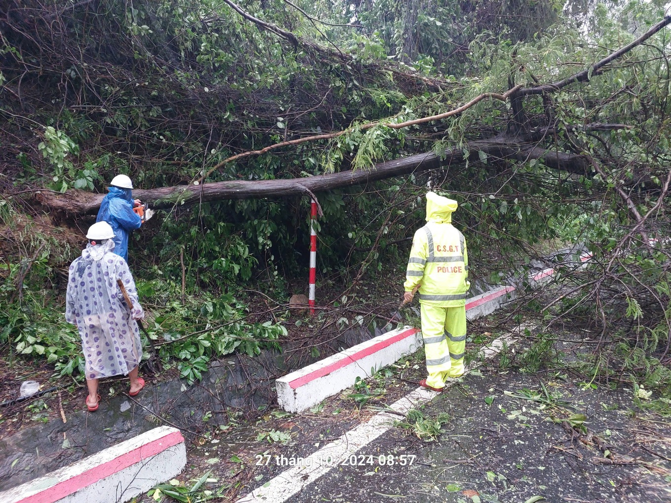
In Da Nang, it is raining heavily, some trees have fallen, causing traffic jams. To ensure the safety of people and vehicles, Da Nang City Traffic Police in coordination with Phu Loc District Police and Hai Van Road Tunnel Management Company continue to implement road closures, not allowing vehicles to pass through Hai Van Pass to ensure safety.


According to the National Center for Hydro-Meteorological Forecasting, at noon on October 27, storm Tra Mi (storm number 6) entered the sea area of Thua Thien Hue - Da Nang.
The strongest wind near the storm center is level 9, gusting to level 12. The storm moves southwest at a speed of 15-20km/h.
Due to the impact of the storm, the sea areas of the provinces from Quang Binh to Quang Ngai (including Con Co Island, Cu Lao Cham, Ly Son) have strong winds of level 6-7, near the storm center of level 8-9, gusting to level 11; waves 3-5m high; very rough seas.
It is forecasted that coastal areas from Quang Binh to Quang Nam provinces may experience water levels rising 0.4-0.6m.
Ships operating in coastal areas from Quang Binh to Quang Ngai are likely to be affected by storms, whirlwinds, strong winds, and large waves.
Warning of high risk of landslides of sea dikes and embankments along the coast of provinces from Quang Tri to Quang Nam due to the impact of big waves and rising water.


Comment (0)