
Identify the knot
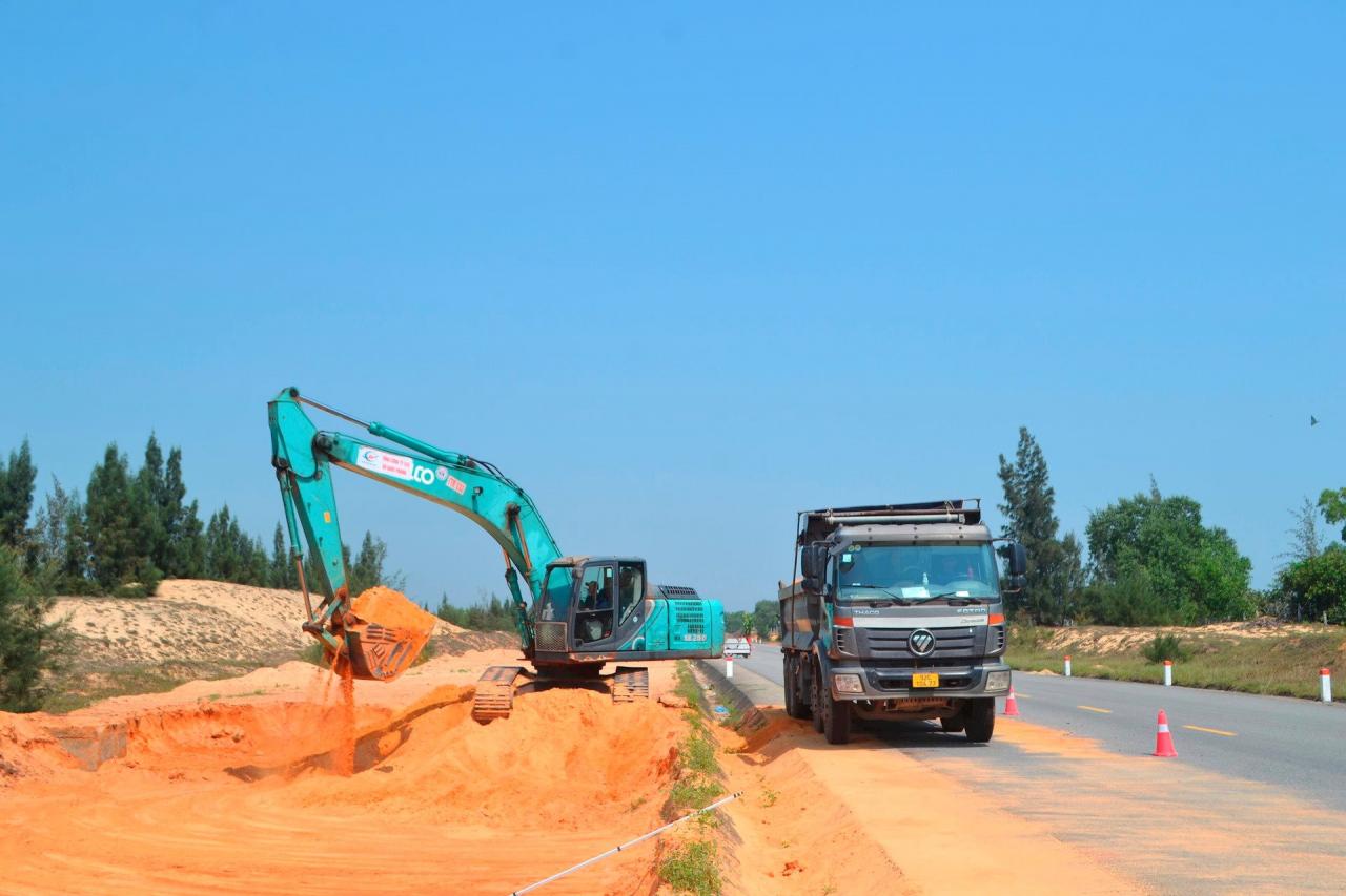
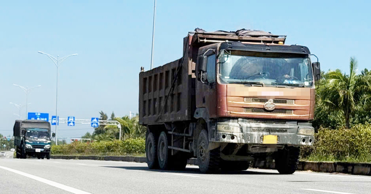
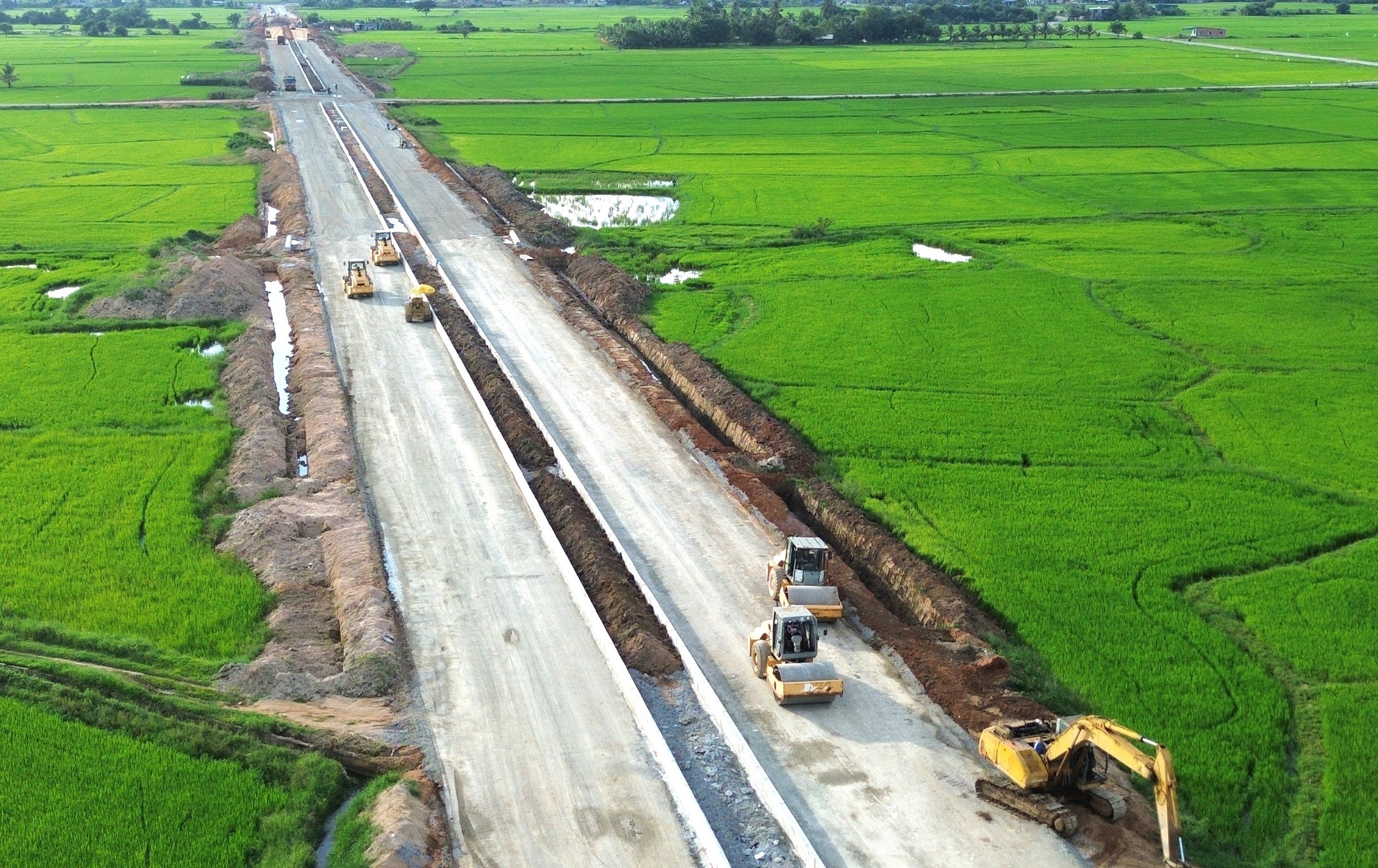
Within the scope of the project, the joint venture contractor for package 1 is digging the foundation and roadbed on the right side of the route, within the area where the site has been handed over from km00+000 (Tam Phu commune, Tam Ky) to km8+100 (Tam Tien commune, Nui Thanh). At the same time, the construction unit is filling the public service road and making the Tam Tien bridge girder casting yard.
The representative of the Management Board (MB) of the Quang Nam Province Traffic Construction Investment Project (investor) said that the above-mentioned handover section belongs to the 44m cross-section that has been compensated and cleared from the previous rescue road project.
The project to complete Highway 129 is 26.5km long; the project is divided into 2 packages. Accordingly, package 1 is 11.24km long (project route km0+00 - km11+240) through the communes of Tam Phu (Tam Ky), Tam Tien, Tam Hoa (Nui Thanh); package 2 is 15.26km long (km11+240 - km26+500) through the communes of Tam Hoa, Tam Hiep, Tam Giang, Tam Quang, Tam Nghia, and Nui Thanh town (Nui Thanh).
Thus, for package 1, the investor has not yet been handed over the 3.14km long land area in Nui Thanh area. Because this section of the route has 241 land plots and 105 graves affected. Currently, the approval of the cadastral map has been completed, the district is implementing the next steps.
At the construction site of package 2, a 5.8km long section (route km16+700 - km22+500) through Tam Hiep commune and Nui Thanh town only invested in completing the lighting system, because phase 1 was done according to the planned cross-section.
Currently, the joint venture of Vinaconex 25 Joint Stock Company and Vietnam Construction and Import-Export Joint Stock Corporation (Vinaconex) has completed the lighting construction.
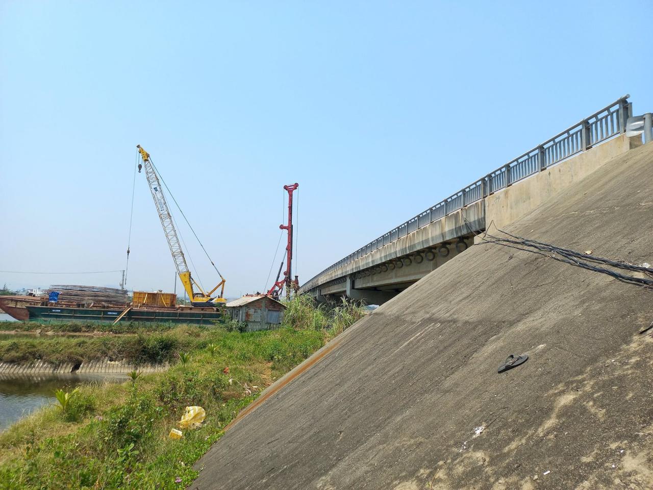
With the location of roadbed and bridge expansion, the contractor is having to spread out the implementation, because the site still has many bottlenecks. The contractor only has the entire site of Tam Hiep bridge, An Tan 2 bridge (except pier M2), 6/39 horizontal drainage culverts and the route section km16+000 - km16+700.
Construction site manager of package 2 - engineer Nguyen Nhat Thong said that pier M2 of An Tan 2 bridge cannot be constructed yet due to land acquisition issues related to 4 shrimp farming households in Tam Giang commune.
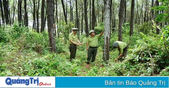
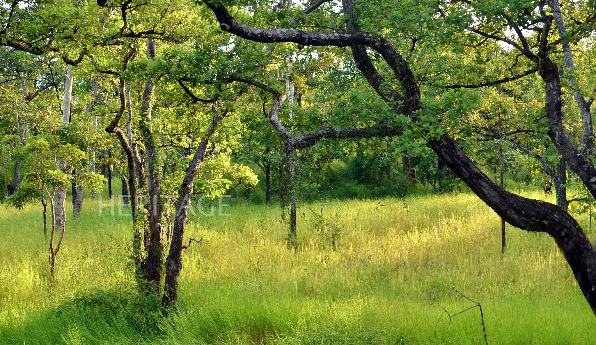
Through Tam Hoa commune, a 1km long section touches the protective forest, waiting for the competent authority to consider the policy of changing the purpose of use.
In many other locations, the contractor has to deal with weak ground, waiting for it to sink, but there is no ground to do it. The project's fill (about 820,000m3) is also waiting for mining license procedures at the mine.
Need to urgently remove
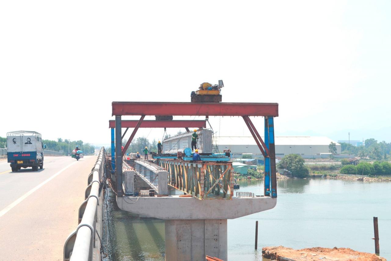
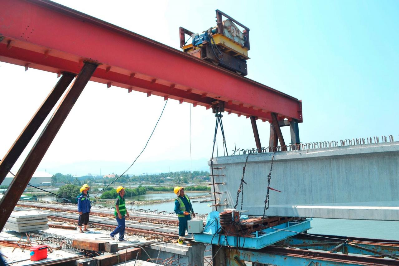
Under the project, both packages will carry out one more unit of a total of 6 bridges: Diem Tra, Tam Tien, Tam Hiep, An Tan 2, Tam Nghia and Tam Quang. However, up to this point, many bridges do not have construction sites, or have not been handed over (pier M2, An Tan 2 bridge).
Many locations where the road section is being widened need to treat weak ground but have not been able to do so yet, also due to lack of space. Belonging to protected forest land, the contractor is taking advantage of excavated soil within the project area to coordinate the treatment of weak ground.
However, as mentioned, the forest area affected by the project needs to be converted to another use… The above reality requires urgent coordination between the locality and other units to resolve the issue.
The investor said that the section through Tam Hoa commune, including 346 affected plots of land, has now had its cadastral map approved. The unit responsible for compensation is carrying out land acquisition, inventory, and drawing up plans for compensation, support, and resettlement.
A total of 11 cadastral maps of the section through the communes of Tam Hiep, Tam Giang, Tam Quang, Tam Nghia and Nui Thanh town have been completed for measurement. These maps are awaiting appraisal and approval by the Department of Natural Resources and Environment.
Regarding the section of km12+00 - km13+00 (Tam Hoa commune) passing through the protective forest area, the investor representative said that the procedures for assessing the current status of the forest have been carried out.
The Department of Agriculture and Rural Development will advise the Provincial People's Committee and submit to the Provincial People's Council at the upcoming session to consider and agree on the policy to change the purpose of use to serve this key traffic infrastructure project.
Source
![[Photo] Visiting Cu Chi Tunnels - a heroic underground feat](https://vstatic.vietnam.vn/vietnam/resource/IMAGE/2025/4/8/06cb489403514b878768dd7262daba0b)


Comment (0)