
 |
| The P-3 Hurricane Hunter used in the study. (Source: mynews13.com) |
NOAA's Hurricane Field Program team conducted a research mission during Hurricane Tammy this past October using a Hurricane Hunter P-3 "Hurricane Hunter."
From this aircraft, they launch drones into the eye of the storm to collect data sets.
In addition to being the first launch of Black Swift Technologies' S0 drone into the eye of a hurricane, this research also featured the first successful combination of the following technologies:
Anduril’s Altius 600: A low-flying drone launched from a Hurricane Hunter aircraft and capable of operating at low and medium altitudes over the ocean. It collects data from the outer layers of a storm to detect changes in the overall structure of the storm. While flying into Hurricane Tammy, the drone transmitted data from 900 feet above sea level.
Saildrone: an unmanned vehicle powered by wind and solar energy that collects data close to the ocean surface. These observations improve our understanding of tropical cyclone intensity variability.
Thermometers: small probes dropped from hurricane hunter aircraft to measure ocean temperature at depth. They can collect ocean temperature data at depths of 350 meters.
Dropsondes: small devices that collect information on atmospheric pressure, temperature, humidity, wind speed and direction as they descend into the atmosphere. They include a special probe equipped with an infrared sensor capable of measuring sea surface temperature.
Dozens of scientists, crew members and private industry partners planned and executed this complex study to collect critical data on how storms form in the atmosphere and at sea.
“Our team coordinated the launch of the drones, which allowed us to collect data for analysis and improve our understanding of the interaction between the atmosphere and the ocean,” said Joe Cione, NOAA chief meteorologist.
Source

![[Photo] Flower cars and flower boats compete to show off their colors, celebrating the 50th anniversary of Da Nang Liberation Day](https://vstatic.vietnam.vn/vietnam/resource/IMAGE/2025/3/28/086d6ece3f244f019ca50bf7cd02753b)
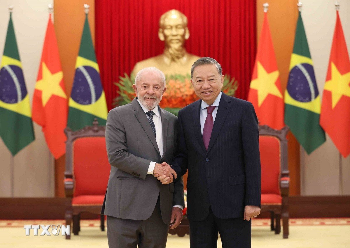
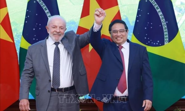
![[Photo] President Luong Cuong hosts state reception for Brazilian President Luiz Inacio Lula da Silva](https://vstatic.vietnam.vn/vietnam/resource/IMAGE/2025/3/28/56938fe1b6024f44ae5e4eb35a9ebbdb)
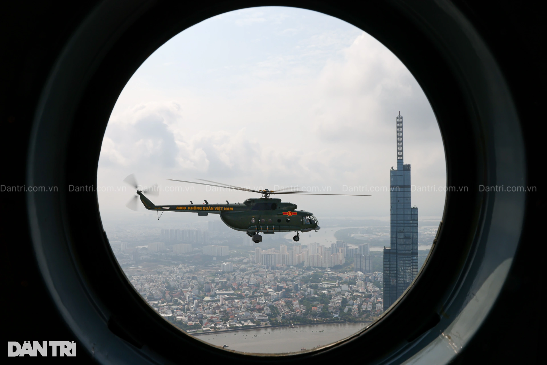
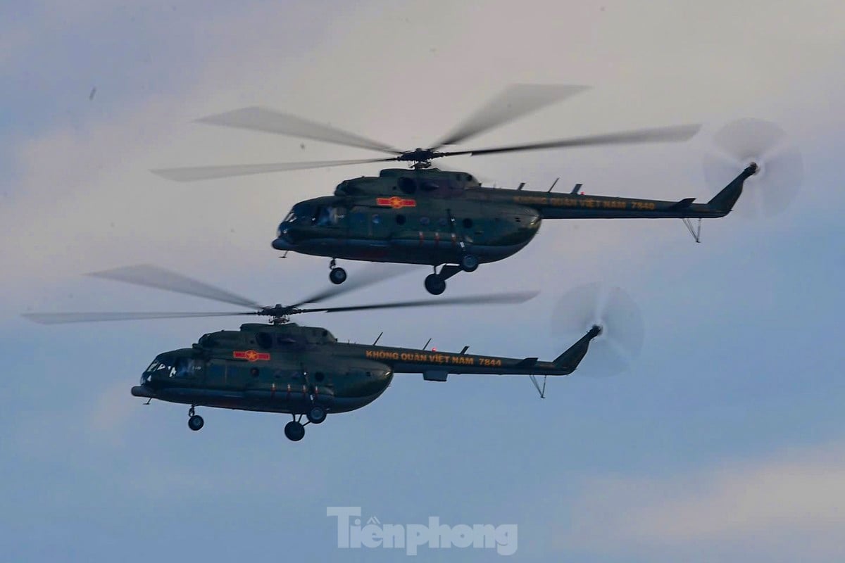
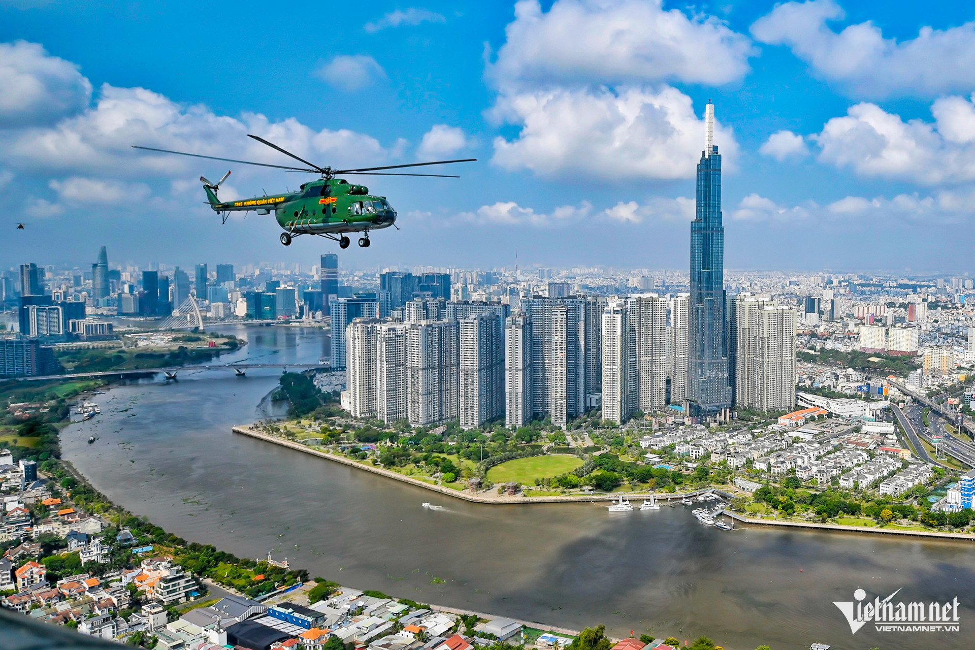
![[Photo] Helicopters and fighter jets practice in the sky of Ho Chi Minh City](https://vstatic.vietnam.vn/vietnam/resource/IMAGE/2025/3/28/3a610b9f4d464757995cac72c28aa9c6)
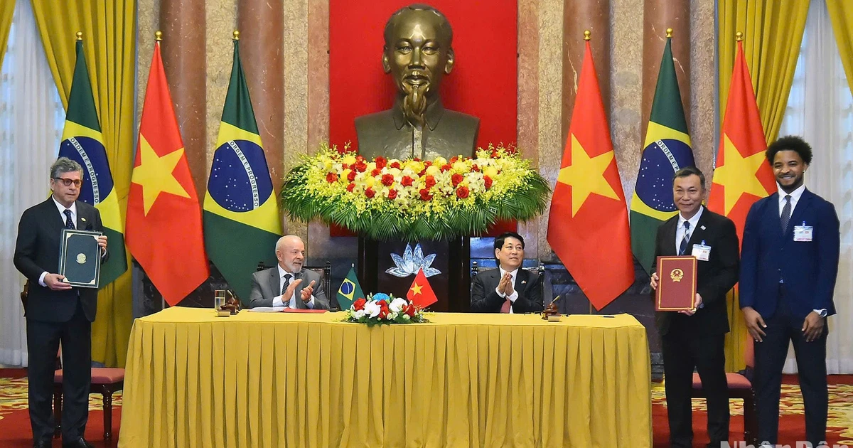
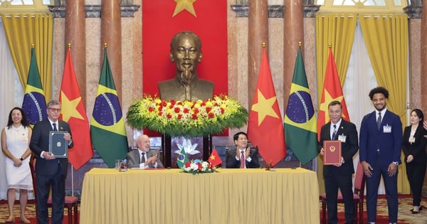
![[Photo] Prime Minister Pham Minh Chinh meets with Brazilian President Luiz Inacio Lula da Silva](https://vstatic.vietnam.vn/vietnam/resource/IMAGE/2025/3/28/41f753a7a79044e3aafdae226fbf213b)


Comment (0)