
Weather forecast for January 4, 2025: Northern and North Central regions will have sunny days, no rain at night, and cold weather. Southern regions will have showers and thunderstorms; coastal areas from Ba Ria - Vung Tau to Ca Mau are at risk of flooding due to high tides.
According to the National Center for Hydro-Meteorological Forecasting, the weather trend from now until January 5 is as follows:
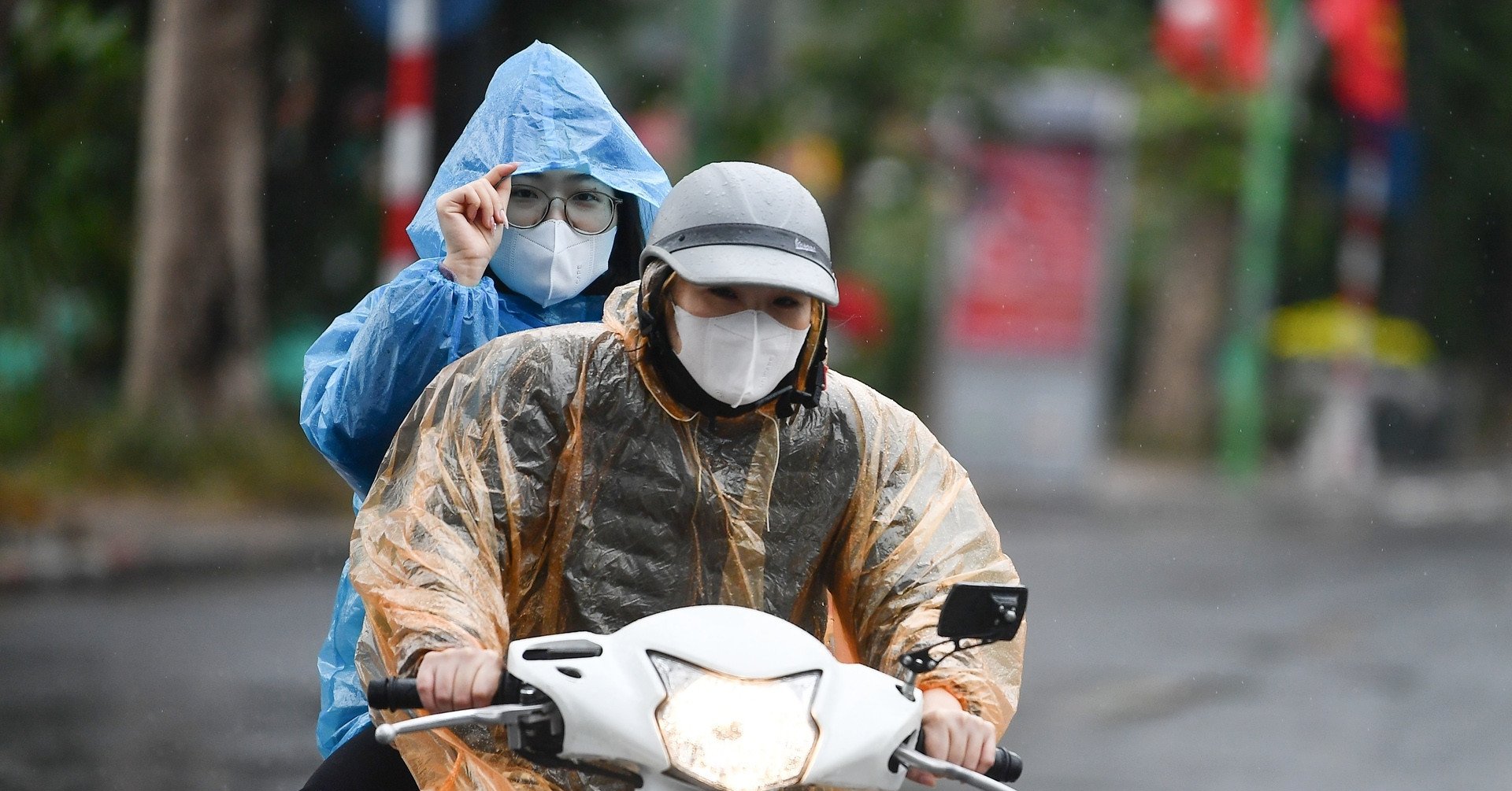
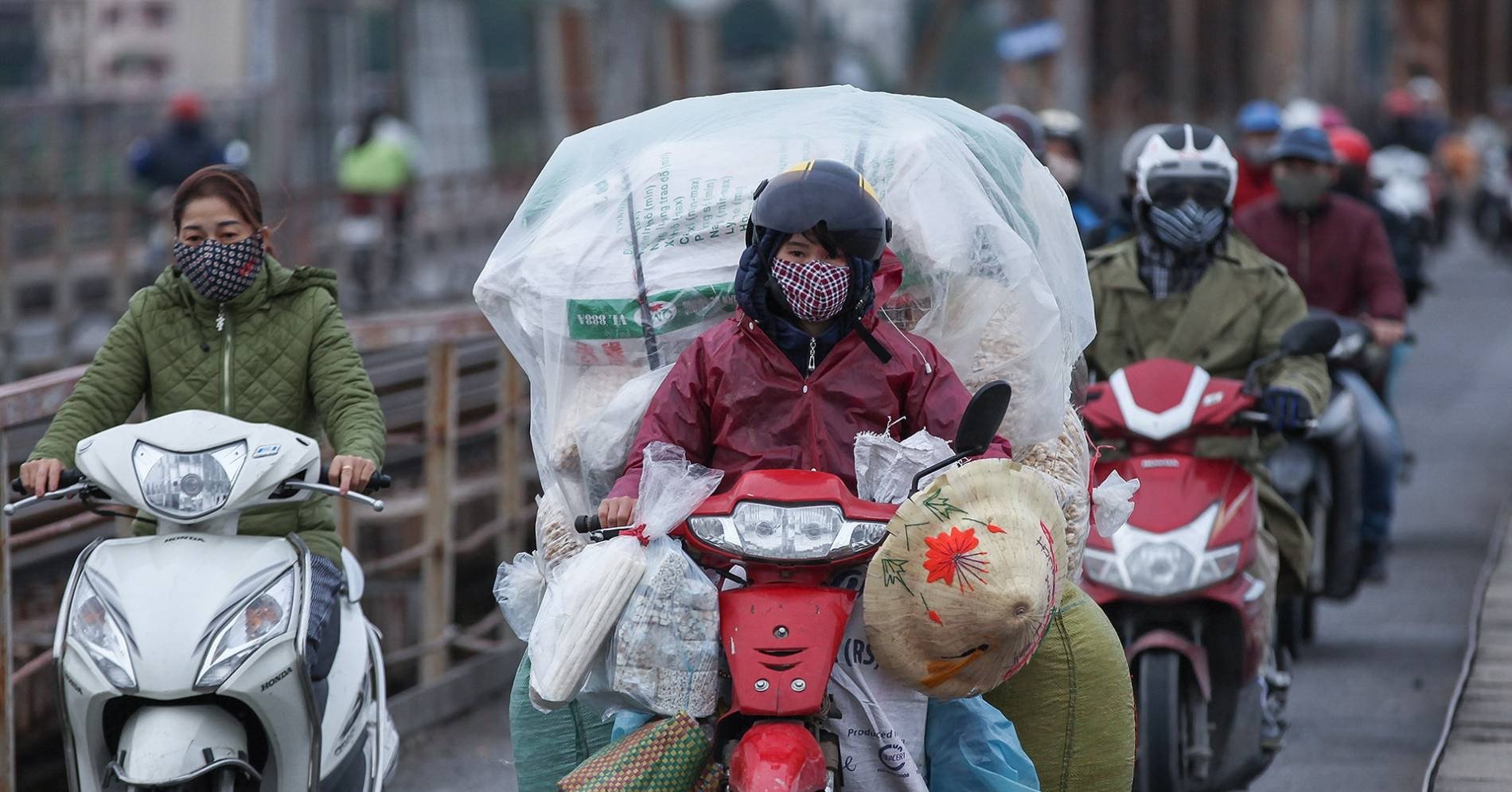
Northern and North Central regions have sunny days, no rain at night, early morning fog and scattered light fog. Cold mornings and nights.
The Central Central region has some rain, cold in the morning and at night. Other areas have some showers and thunderstorms.
In particular, at present, on the eastern coast of the South, the tide level is at a high level. It is forecasted that from this evening to tomorrow, January 4, the coastal provinces from Ba Ria - Vung Tau to Ca Mau will have a high water level of 390 - 400cm, appearing around 0:00 - 3:00 and 16:00 - 19:00 every day.
The meteorological agency warns that low-lying coastal areas, riverside areas, and areas outside the dikes in the Southeast region are at risk of flooding in the late afternoon and night.

Weather at sea, the low pressure trough with axis at about 5-8 degrees North latitude connects with the low pressure area at 7am on January 3rd, located at about 6.5-7.5 degrees North latitude; 112.5-113.5 degrees East longitude. At Huyen Tran and Ly Son stations, there are strong winds of level 6.
Forecast tonight and tomorrow, the North East Sea area (including the waters of Hoang Sa archipelago) will have strong winds of level 6, sometimes level 7, gusting to level 8-9; during the day the winds will increase to level 6-7, gusting to level 8-9. The sea will be rough. Waves will be 3-5.5m high.
The sea area from Quang Tri to Quang Ngai and the west of the Central and South East Sea (including the sea area west of Truong Sa archipelago) has strong winds of level 6, sometimes level 7, gusting to level 8-9. The sea is rough. Waves are 3-5.5m high.
The sea area from Ba Ria - Vung Tau to Ca Mau has wind level 6, gusting to level 7-8. Rough sea. Waves 3-5m high.
The Central and Southern East Sea (including the Spratly Islands) will have scattered showers and thunderstorms. There is a possibility of tornadoes and strong gusts of wind during thunderstorms.
Weather forecast tonight and tomorrow January 4, 2025 for regions across the country:
Hanoi
Cloudy, no rain at night, early morning fog and light fog scattered, sunny day. Light wind. Cold at night and morning.
Lowest temperature: 13-15 degrees.
Highest temperature: 23-25 degrees.
Northwest
Cloudy, no rain at night, early morning fog and light fog scattered, sunny day. Light wind. Cold at night and morning.
Lowest temperature: 11-14 degrees, some places below 11 degrees.
Highest temperature: 22-25 degrees, some places above 25 degrees.
Northeast
Cloudy, no rain at night, early morning fog and light fog scattered, sunny day. Light wind. Cold at night and morning.
Lowest temperature: 12-15 degrees, mountainous areas below 11 degrees.
Highest temperature: 23-26 degrees.
Thanh Hoa - Thua Thien Hue
North cloudy, no rain at night, early morning fog and light fog scattered, sunny during the day; South cloudy, rain in some places. North to northwest wind level 2-3. Cold at night and morning.
Lowest temperature: North 13-15 degrees; South 15-18 degrees.
Highest temperature: 21-24 degrees.
Da Nang - Binh Thuan
Cloudy, with scattered showers and thunderstorms. Northeast wind level 3-4, coastal areas may have strong gusts above level 6. Thunderstorms may cause tornadoes, lightning and strong gusts.
Lowest temperature: 19-21 degrees, South 22-24 degrees.
Highest temperature: 22-25 degrees; South 27-30 degrees.
Central Highlands
Cloudy with scattered showers and thunderstorms. Northeast wind level 2-3.
Lowest temperature: 15-18 degrees.
Highest temperature: 24-27 degrees.
Southern Vietnam
Cloudy with scattered showers and thunderstorms. Northeast wind level 2-3.
Lowest temperature: 23-26 degrees.
Highest temperature: 30-33 degrees.
Source: https://vietnamnet.vn/du-bao-thoi-tiet-ngay-mai-4-1-2025-nam-bo-mua-rao-ung-pho-trieu-cuong-2359859.html


![[Photo] Prime Minister Pham Minh Chinh chairs Government Conference with localities on economic growth](https://vstatic.vietnam.vn/vietnam/resource/IMAGE/2025/2/21/f34583484f2643a2a2b72168a0d64baa)


Comment (0)