
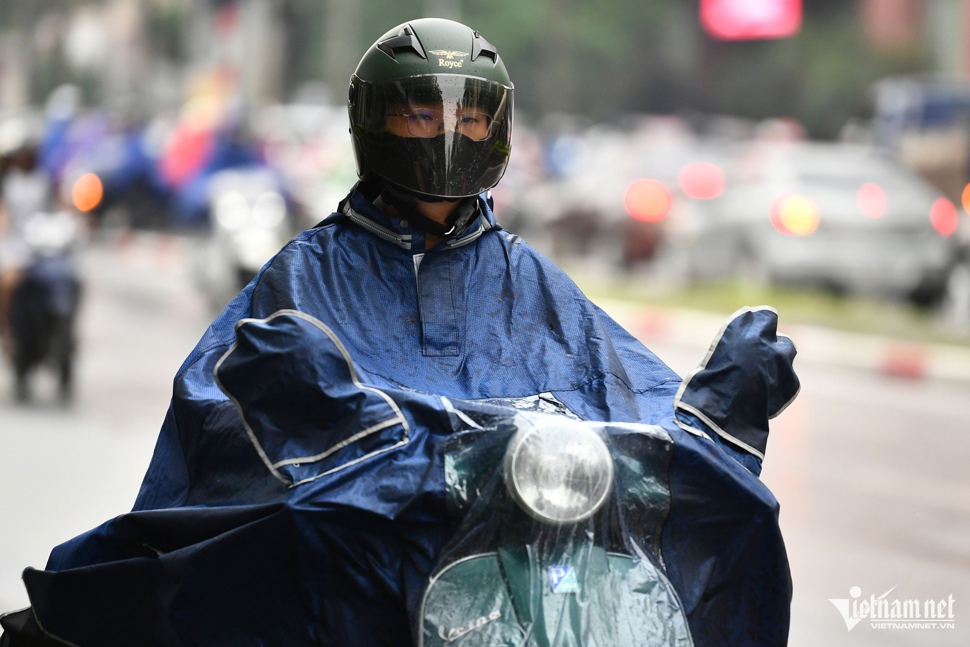
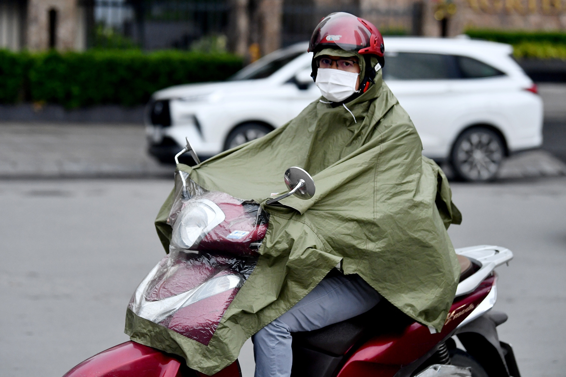
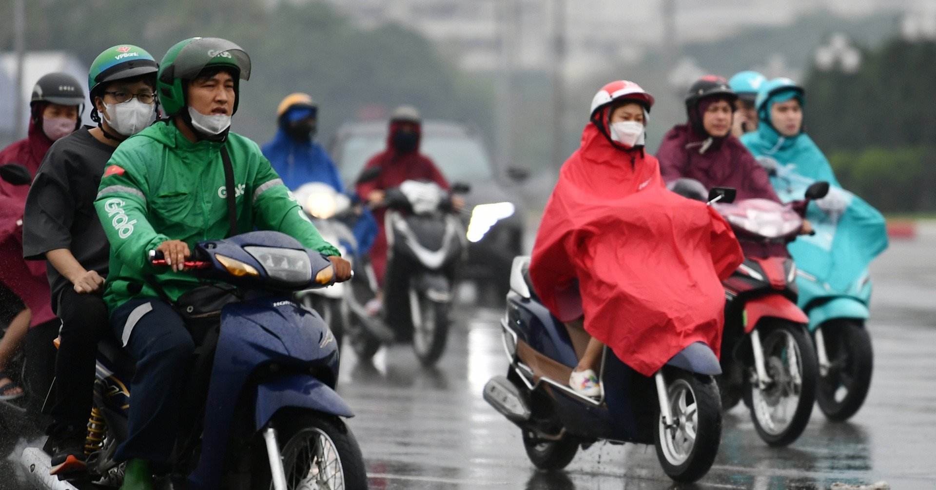
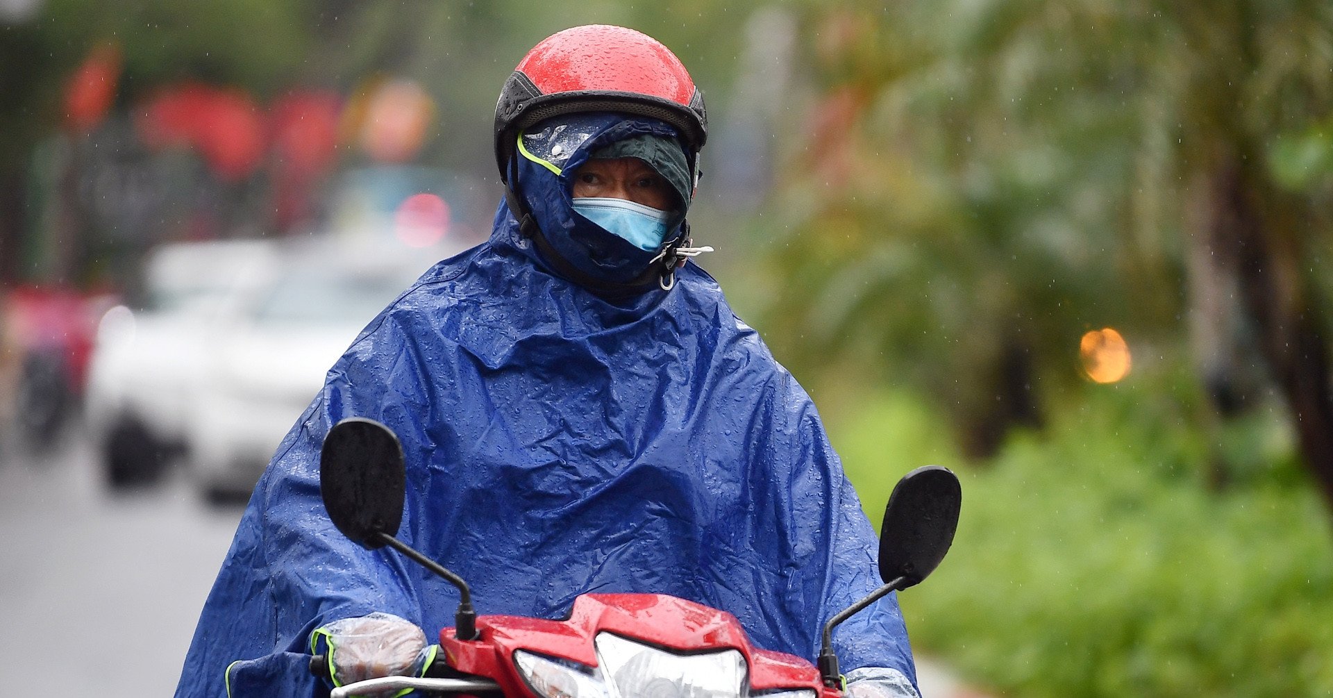
Weather forecast for tomorrow, March 28, 2025, the cold air mass will strengthen and affect the North in the afternoon and at night. Outside, it will turn cold, the North and North Central regions will have scattered thunderstorms, risk of tornadoes, lightning, hail, and strong gusts of wind.
According to the National Center for Hydro-Meteorological Forecasting, the cold air mass is currently moving south.
It is forecasted that from the afternoon and night of March 28, cold air will affect the Northeast, North Central and some places in the Northwest, then spread to other places in the Northwest and some places in the Central Central.
Wind turns northeast, gradually increasing to level 2-3, coastal areas level 3-4.
The weather in the North and North Central regions is getting colder, with some mountainous areas experiencing severe cold. The temperature in the North is 15-18 degrees Celsius, with some mountainous areas experiencing temperatures below 13 degrees Celsius; the North Central region is 17-19 degrees Celsius. In Hanoi, it is 16-18 degrees Celsius.
At sea, from the afternoon of March 28, the wind in the Gulf of Tonkin will change to northeast level 6, gusting to level 7-8, rough sea, waves 2-3m high.
From the night of March 28, the sea area north of the North East Sea will have strong northeast winds of level 6-7, gusting to level 8, rough seas, and waves 3-5m high.
The Meteorological Agency warned that from the night of March 28, the mountainous areas of the North and North Central regions will have scattered showers and thunderstorms; there is a risk of tornadoes, lightning, hail, and strong gusts of wind.
Weather forecast tonight and tomorrow March 28, 2025 for regions across the country:
Hanoi
Cloudy, with rain in some places, early morning with scattered fog and light fog, sunny in the afternoon. Southeast to south wind level 2-3.
Lowest temperature: 21-23 degrees. Highest temperature: 28-30 degrees.
Northwest
Cloudy, with showers and thunderstorms in the late afternoon and at night; sunny during the day, with some hot spots in the Northwest. Light wind. Thunderstorms may cause tornadoes, lightning, hail and strong gusts of wind.
Lowest temperature: 20-23 degrees, some places below 20 degrees. Highest temperature: 30-33 degrees, some places in the Northwest region above 35 degrees.
Northeast
Cloudy, with rain in some places, early morning with scattered fog and light fog, afternoon with less clouds and sunny; especially in coastal areas at night and morning with light rain, drizzle and scattered fog. Southeast to south wind level 2-3.
Lowest temperature: 21-24 degrees, in mountainous areas below 20 degrees. Highest temperature: 28-31 degrees.
Thanh Hoa - Hue
Cloudy, with showers and thunderstorms in the late afternoon and at night, sunny during the day, especially hot in the western mountainous areas. Wind from the south to the southwest, level 2-3.
Lowest temperature: 21-24 degrees. Highest temperature: 30-33 degrees, especially in the western mountainous region 34-36 degrees.
Da Nang - Binh Thuan
Cloudy, no rain at night; sunny during the day. East to southeast wind level 2-3.
Lowest temperature: 22-25 degrees. Highest temperature: 30-33 degrees, some places above 33 degrees.
Central Highlands
Cloudy, showers and thunderstorms in the evening and at night, sunny during the day, hot in some places. Light wind.
Lowest temperature: 19-22 degrees. Highest temperature: 31-34 degrees, some places over 35 degrees.
Southern Vietnam
Cloudy, showers and thunderstorms in the evening and at night, sunny during the day, hot in some places. Light wind.
Lowest temperature: 23-26 degrees. Highest temperature: 32-35 degrees, some places above 35 degrees.
Source: https://vietnamnet.vn/du-bao-thoi-tiet-ngay-mai-28-3-2025-khong-khi-lanh-gay-ret-mua-giong-o-mien-bac-2385108.html


![[Photo] Ministry of Defense sees off relief forces to the airport to Myanmar for mission](https://vstatic.vietnam.vn/vietnam/resource/IMAGE/2025/3/30/245629fab9d644fd909ecd67f1749123)


![[Photo] Prime Minister Pham Minh Chinh chairs meeting to remove difficulties for projects](https://vstatic.vietnam.vn/vietnam/resource/IMAGE/2025/3/30/7d354a396d4e4699adc2ccc0d44fbd4f)


![[REVIEW OCOP] An Lanh Huong Vet Yen Cat](https://vstatic.vietnam.vn/vietnam/resource/IMAGE/2025/3/27/c25032328e9a47be9991d5be7c0cad8c)


Comment (0)