
TPO – Because the circulation of storm No. 7 is not large, it has not yet affected the weather in the Southern region. Currently, rain in this area is mainly due to cold continental high pressure and low pressure trough combined with easterly wind disturbance.
TPO – Because the circulation of storm No. 7 is not large, it has not yet affected the weather in the Southern region. Currently, rain in this area is mainly due to cold continental high pressure and low pressure trough combined with easterly wind disturbance.
According to the Southern Hydrometeorological Station, at 7:00 a.m. this morning (November 10), the center of storm No. 7 (Yinxing) was located at about 19 degrees North latitude; 113.2 degrees East longitude, in the northwest sea of the northern East Sea, about 330km north-northeast of the Hoang Sa archipelago. The strongest wind near the center of the storm is level 13 (134 - 149km/h), gusting to level 16. The storm is moving in a West-Southwest direction, at a speed of about 5km/h.
Forecast by 7am tomorrow (November 11), the eye of the storm is at about 17.4 degrees North latitude; 111.4 degrees East longitude in the sea north-northwest of Hoang Sa archipelago. Wind near the eye of the storm is strong at level 9-10, gusting to level 13.
At around 7:00 a.m. on November 12, the storm gradually weakened into a tropical depression over the sea from Quang Tri to Quang Ngai, with winds of level 6 and gusts of level 8. By the evening of the same day, the tropical depression entered the Central Highlands and weakened into a low pressure area.
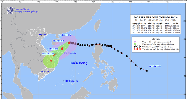 |
| Forecast map of storm No. 7's trajectory and intensity released at 8:00 a.m. on November 10, 2024. |
Due to the influence of the storm, the western sea area of the North East Sea has strong winds of level 7-9, near the eye of the storm, winds of level 10-13, gusts of level 16, waves of 4-6m high, near the eye of the storm, waves of 6-8m high; the sea is very rough.
From early morning on November 11, the sea area from Quang Tri to Quang Ngai will have strong winds of level 6-7, near the eye of the storm will have strong winds of level 8, gusts of level 10, waves from 2-4m high, near the eye of the storm will have waves of 3-5m; the sea will be rough. Ships operating in the above-mentioned dangerous areas are likely to be affected by storms, whirlwinds, strong winds, and big waves.
The sea area from Ba Ria - Vung Tau to Ca Mau (including the sea area of Ho Chi Minh City) has northeast wind gradually increasing to level 5, gusting to level 6 - 7. Wave height from 2 - 3m. The sea area from Ca Mau to Kien Giang and Phu Quoc has northeast wind level 3 - 4. Wave height from 0.25 - 1m. In both sea areas, the weather is scattered showers and thunderstorms, during thunderstorms, beware of strong gusts and tornadoes.
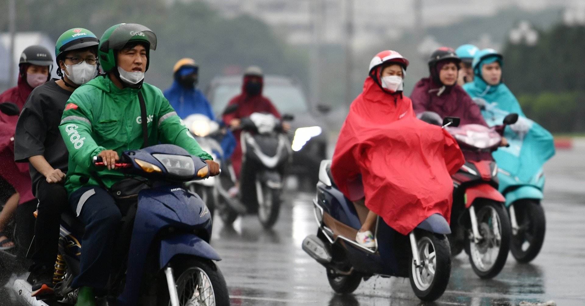
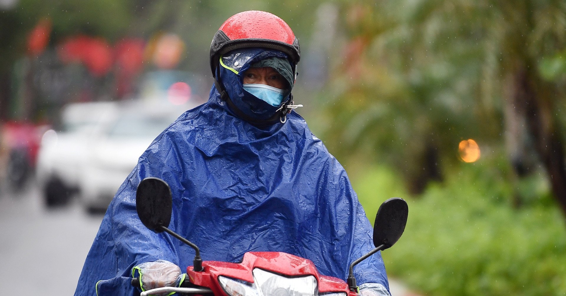
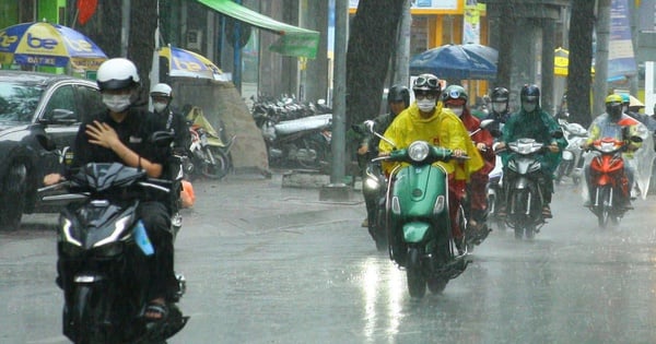
The weather in Ho Chi Minh City and the Southern provinces is cloudy, sunny during the day, scattered showers and thunderstorms in the afternoon, some places have moderate rain, some places have heavy rain, some places have rain at night.
From the night of November 10 to November 18, the Southern region will have scattered showers and thunderstorms. Thunderstorms will mainly occur in the afternoon and evening.
According to meteorological experts, the rain in the Southern region is currently due to the cold continental high pressure and low pressure trough combined with easterly wind disturbances. The weather in the region is generally sunny during the day, with scattered showers and thunderstorms in the evening. Currently, the storm circulation is not large, so it has not affected the weather in the Southern region.
It is forecasted that by November 11, cold air will strengthen, pushing the storm's path southward and also weakening the storm into a tropical depression at sea.


Source: https://tienphong.vn/bao-so-7-yinxing-anh-huong-the-nao-den-thoi-tiet-nam-bo-post1690179.tpo
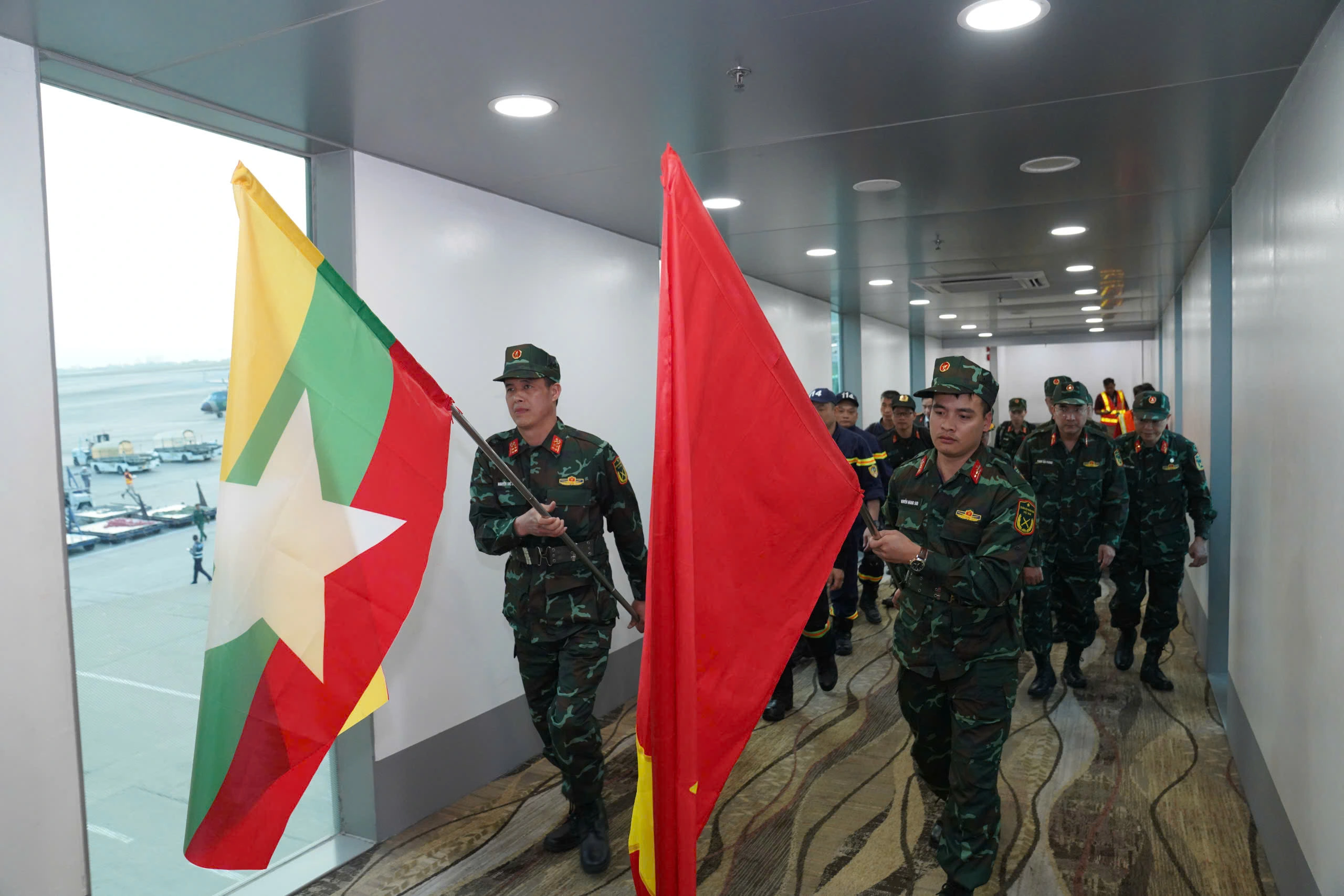
![[Photo] Ministry of Defense sees off relief forces to the airport to Myanmar for mission](https://vstatic.vietnam.vn/vietnam/resource/IMAGE/2025/3/30/245629fab9d644fd909ecd67f1749123)


![[Photo] Prime Minister Pham Minh Chinh chairs meeting to remove difficulties for projects](https://vstatic.vietnam.vn/vietnam/resource/IMAGE/2025/3/30/7d354a396d4e4699adc2ccc0d44fbd4f)


![[REVIEW OCOP] An Lanh Huong Vet Yen Cat](https://vstatic.vietnam.vn/vietnam/resource/IMAGE/2025/3/27/c25032328e9a47be9991d5be7c0cad8c)


Comment (0)