
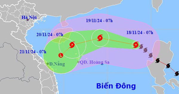
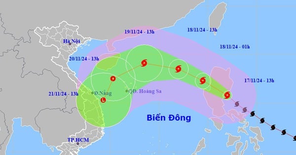
On the evening of August 30, storm Sao La entered the East Sea with the strongest wind speed of 201 km/h, becoming the third storm in this area.
The National Center for Hydro-Meteorological Forecasting said that at 7 p.m., the storm's center was in the northeastern sea area of the North East Sea, about 620 km east-southeast of Hong Kong (China). The strongest wind near the storm's center was 184-201 km/h, level 16, gusting to level 17.
Tonight and tomorrow, the storm will move west-northwest at a speed of 10-15 km/h. By 7pm tomorrow, the storm will be in the northeastern sea area of the North East Sea, about 320 km east-southeast of Hong Kong (China), with the strongest wind at level 15, gusting to level 17.
The storm then maintained its direction and speed decreased to 10 km/h. At 7:00 p.m. on September 1, in the sea southeast of Guangdong province (China), the strongest wind was level 14, gusting up three levels.
Storm Sao La entered the East Sea on the evening of August 30. Photo: NCHMF
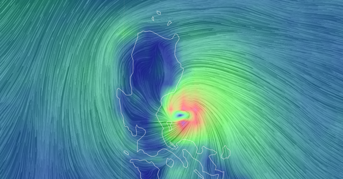
The Japan Meteorological Agency said the storm's current wind speed is 200 km/h. Today and tomorrow, the storm will maintain its wind speed, and on September 1, it will decrease to 144 km/h. Hong Kong's Meteorological Agency said that tomorrow, the storm will reach its peak with wind speeds of 245 km/h.
Due to the influence of the storm, the northeastern sea area of the North East Sea has strong storm winds of level 9-10, later increasing to level 11-13, near the storm center level 14-16, gusting above level. The eastern sea area of the North East Sea has waves 4-6 m high, later increasing to 8-10 m.
Due to the El Nino phenomenon, Vietnam is forecast to be affected by fewer storms this year than in previous years. From the second half of August to November 2023, there is a possibility of 5-7 storms and tropical depressions appearing in the East Sea, of which 2-3 will directly affect the mainland.
Source link
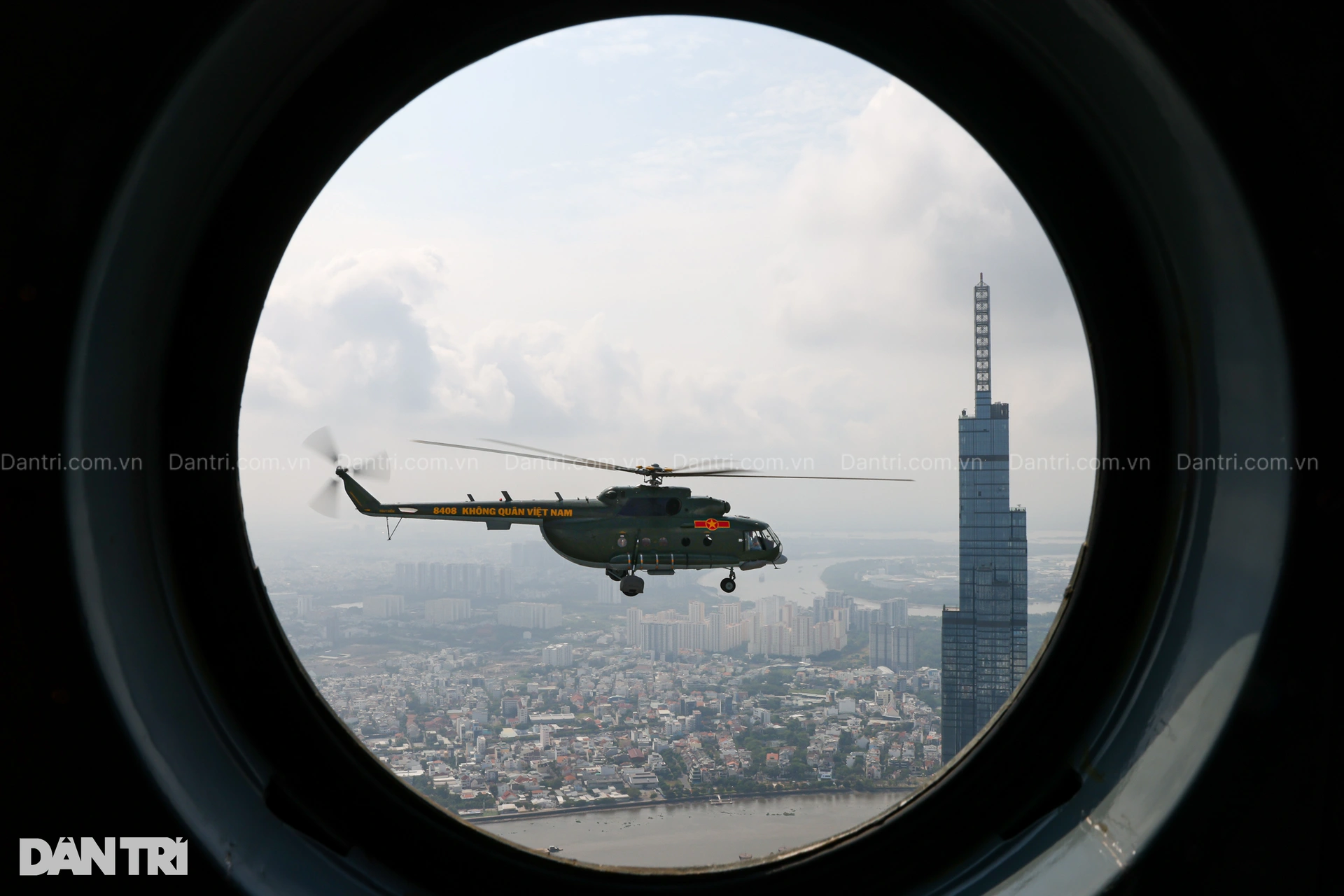
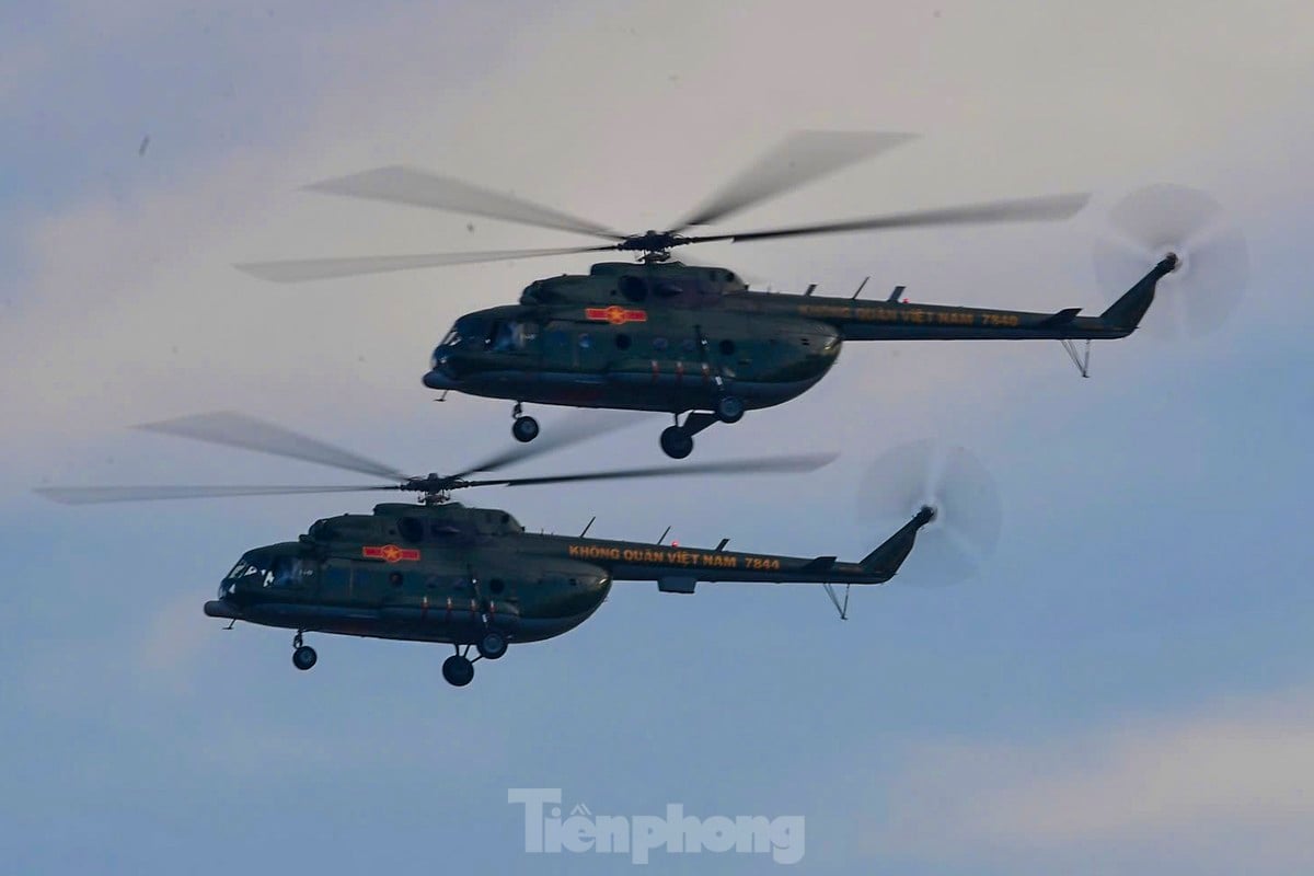
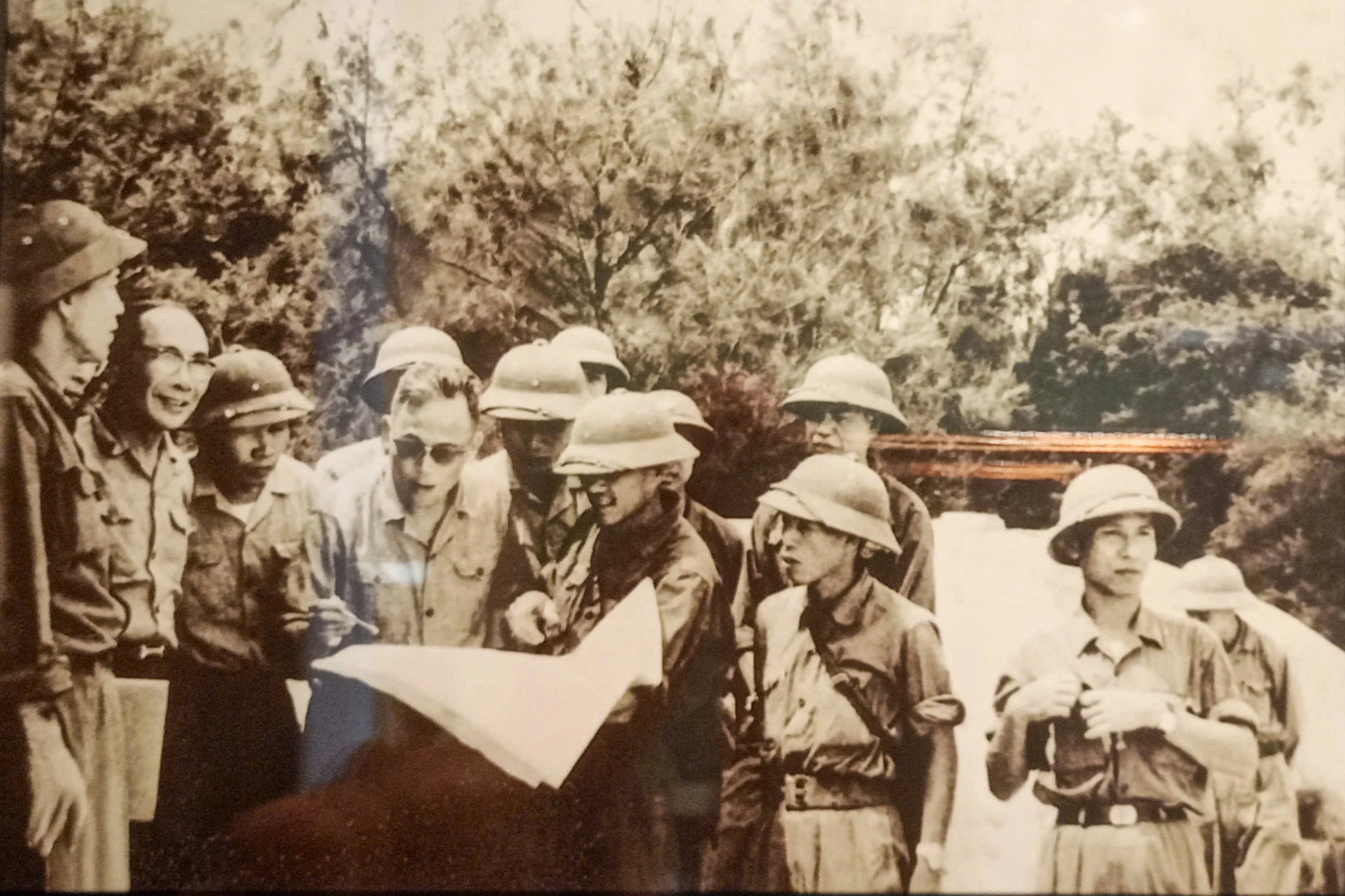
![[Photo] Helicopters and fighter jets practice in the sky of Ho Chi Minh City](https://vstatic.vietnam.vn/vietnam/resource/IMAGE/2025/3/28/3a610b9f4d464757995cac72c28aa9c6)
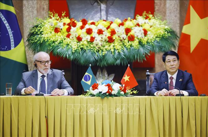
![[Photo] Prime Minister Pham Minh Chinh meets with Brazilian President Luiz Inacio Lula da Silva](https://vstatic.vietnam.vn/vietnam/resource/IMAGE/2025/3/28/41f753a7a79044e3aafdae226fbf213b)
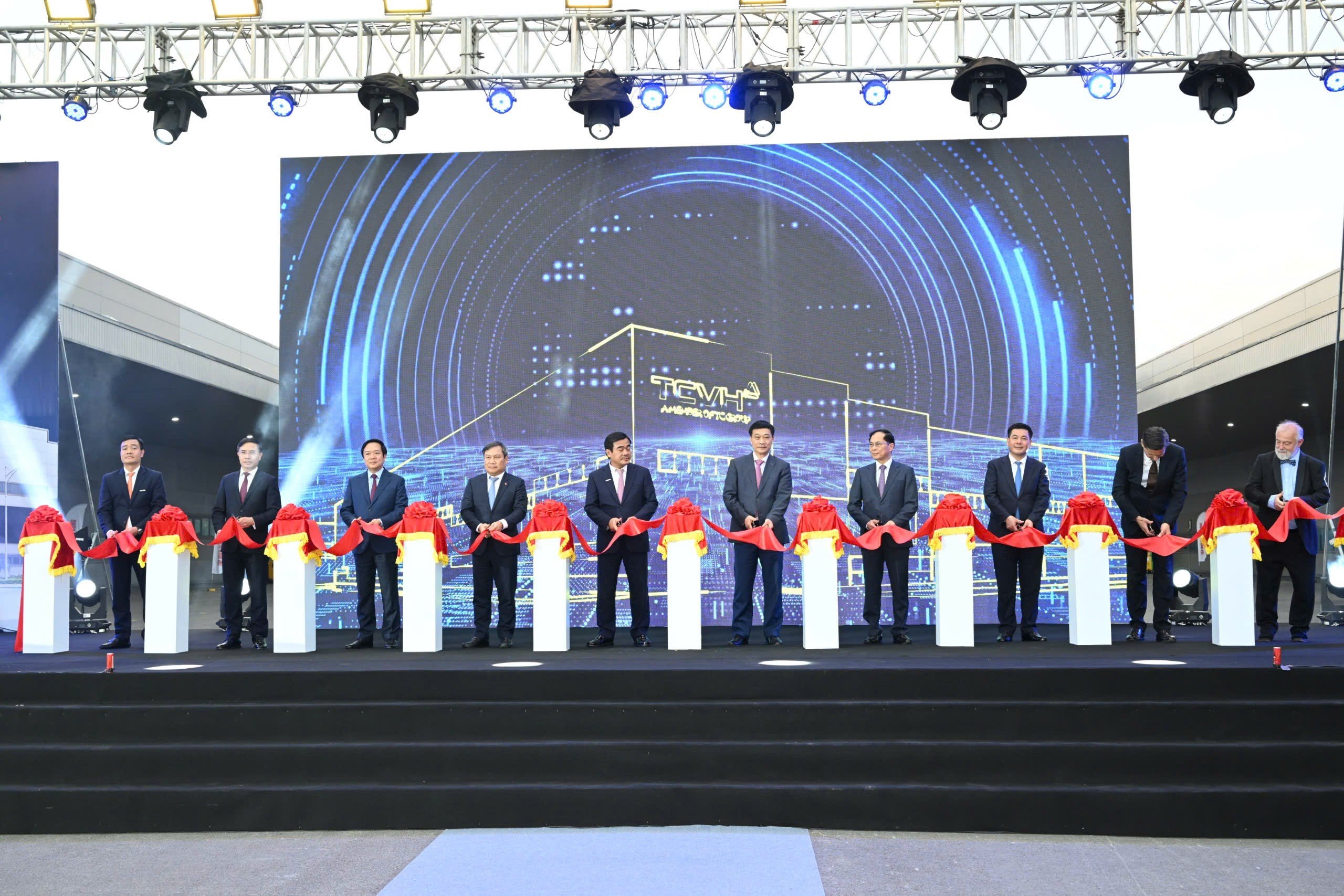
![[Photo] Vietnam and Brazil sign cooperation agreements in many important fields](https://vstatic.vietnam.vn/vietnam/resource/IMAGE/2025/3/28/a5603b27b5a54c00b9fdfca46720b47e)
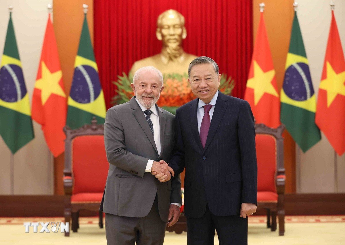
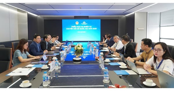
![[Photo] General Secretary To Lam receives Brazilian President Luiz Inácio Lula da Silva](https://vstatic.vietnam.vn/vietnam/resource/IMAGE/2025/3/28/7063dab9a0534269815360df80a9179e)


Comment (0)