
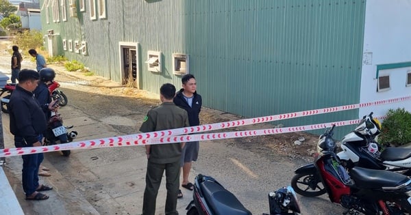
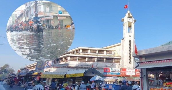
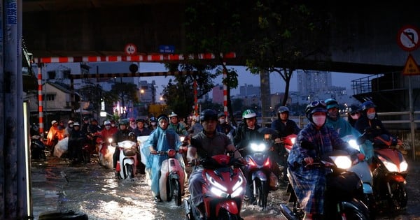
Dau Giay - Phan Thiet Expressway flooded due to heavy rain, Phan River narrowed, consultants did not fully anticipate when designing the culvert, flooded section may be raised, according to the Ministry of Transport.
The content was reported by the Ministry of Transport on the evening of August 9 when mentioning the cause of the Dau Giay - Phan Thiet expressway section of more than 100 m through Ham Tan district (Binh Thuan) being flooded by 0.7 m. After the incident occurred on July 29, the Ministry established a working group consisting of specialized agencies, construction units, consultants, and hydrological experts to inspect the scene and review design documents.
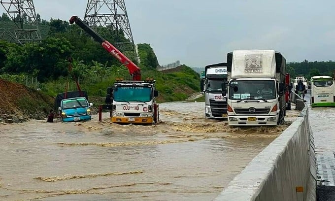
A rescue vehicle pulls a truck swept away by floodwaters on the highway on the morning of July 29. Photo: Anh The
According to the Ministry of Transport, the route runs along the Phan River, which has a winding flow and a very complex hydrological regime. During the construction process, the units have followed the design documents correctly, ensuring quality requirements. The design consultant unit surveyed the peak flood level of the Phan River in 1992 (43.14 m) to build a culvert (2.5 x 2.5 m) to help the area drain.
At the time of flooding, the rainfall had not yet reached the calculated frequency but the height had reached 45.23 m, higher than the historical flood peak, which was an unusual factor. Not to mention that from the culvert location downstream, the Phan River was encroached by trees, and the sedimentation of sand and soil narrowed the flow, causing the water level at the culvert area to rise and overflow onto the road.
However, one reason the Ministry of Transport cited was that the consulting unit had not fully anticipated the narrowing of the river's flow downstream of the culvert, leading to localized water stagnation. Experts in the Ministry's working group assessed that calculating the design elevation at a frequency of 1% at the culvert location, without taking into account the water stagnation level, was "the responsibility of the consulting unit, even though it was not an intentional mistake."
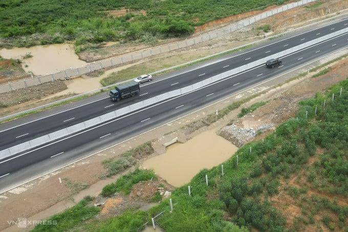
The flooded location on the highway has only one culvert 2.5 x 2.5 m wide. Photo: Viet Quoc
Regarding solutions, experts suggest that in the immediate future, obstacles in the riverbed from the culvert to the downstream of the Phan River Bridge should be removed to increase drainage capacity for the area. Currently, this plan is being implemented by the construction unit, with the cost covered by the consultant.
As a long-term measure, the Ministry of Transport has asked the investor, the Thang Long Project Management Board (investor), to hire a leading consulting unit to survey, calculate, and build a model for the entire area, thereby determining the water level corresponding to the design frequency of the project. If necessary, the Ministry of Transport will consider raising the road in the flooded area if the calculated elevation is greater than the current level.
The Ministry of Transport also requested investors to review the design documents of expressway projects under construction, especially those in areas with weak geology and complex hydrology, in order to make timely adjustments. The Ministry will strictly handle units that cause incidents due to non-compliance with quality according to the signed contract.
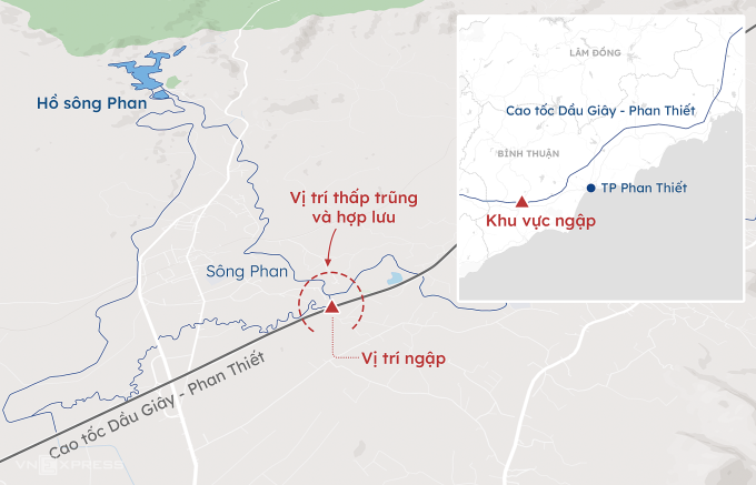
Flooding occurred on Dau Giay - Phan Thiet highway. Graphics: Khanh Hoang
Previously, the Thang Long Project Management Board reported to the Ministry of Transport the same cause of the flooding incident. At the meeting with Binh Thuan authorities on July 31, the investor and the design unit also mentioned the incident due to heavy rain and narrowing of the riverbed, but were unable to convince the local authorities and departments.
The Dau Giay - Phan Thiet Expressway is 99 km long, connecting Dong Nai and Binh Thuan provinces, with a total investment of more than 12,500 billion VND. The route starts at the Vinh Hao - Phan Thiet Expressway in Ham Thuan Nam district and ends at the Ho Chi Minh City - Long Thanh - Dau Giay Expressway intersection in Thong Nhat district, Dong Nai province. The project helps cars from Ho Chi Minh City to Phan Thiet take more than 2 hours instead of 4-5 hours as before.
Source link


Comment (0)