
According to information from Thanh Hoa Hydrometeorological Station, on the morning of September 9, flood water levels in the upper reaches of the Ma River are rising again, while the lower reaches of the Ma River, Buoi River, and Len River have peaked and are slowly decreasing.

Currently on Buoi River at Kim Tan (Thach Thanh) is 11.07m, on BĐ 2 is 0.07m.
The peak flood level on the Ma River at Ly Nhan is 9.69m, 0.19m above alert level 1; on the Buoi River at Kim Tan it is 11.07m, 0.07m above alert level 2; on the Len River at Len it is 4.04m, 0.04m above alert level 1.
Water level at 7:00 a.m. on September 9 at some points as follows: On Ma River at Muong Lat Hydrology Station is 171.56m, above BĐ2 is 0.06m, at Cam Thuy TV Station is 17.66m, above BĐ1 is 0.16m, at Ly Nhan Hydrology Station is 9.33m, below BĐ1 is 0.17m, at Giang Hydrology Station is 3.21m, below BĐ1 is 0.79m; On Buoi River at Kim Tan Hydrology Station is 11.06m, above BĐ2 is 0.06m; On Cau Chay River at Xuan Vinh Hydrology Station is 7.23m, below BĐ1 is 0.77m; On Len River at Len Hydrology Station is 4.03m, above BĐ1 is 0.03m.
Warning in the next 24 hours, the upstream of Ma River will fluctuate at the peak level then decrease again, the water level of other rivers will gradually decrease, except for the downstream of Cau Chay River, the water level will rise slowly. Flood water levels on rivers will fall below level BĐ1.
There is a very high risk of flash floods and landslides in mountainous areas, flooding in low-lying areas, riverside areas, urban areas, traffic culverts... Beware of the high risk of flash floods and landslides in mountainous areas and localized flooding in low-lying areas along rivers.
Lighthouse
Source: https://baothanhhoa.vn/canh-bao-lu-tren-cac-song-khu-vuc-tinh-thanh-hoa-224314.htm

![[Photo] Looking back at the impressive moments of the Vietnamese rescue team in Myanmar](https://vstatic.vietnam.vn/vietnam/resource/IMAGE/2025/4/11/5623ca902a934e19b604c718265249d0)
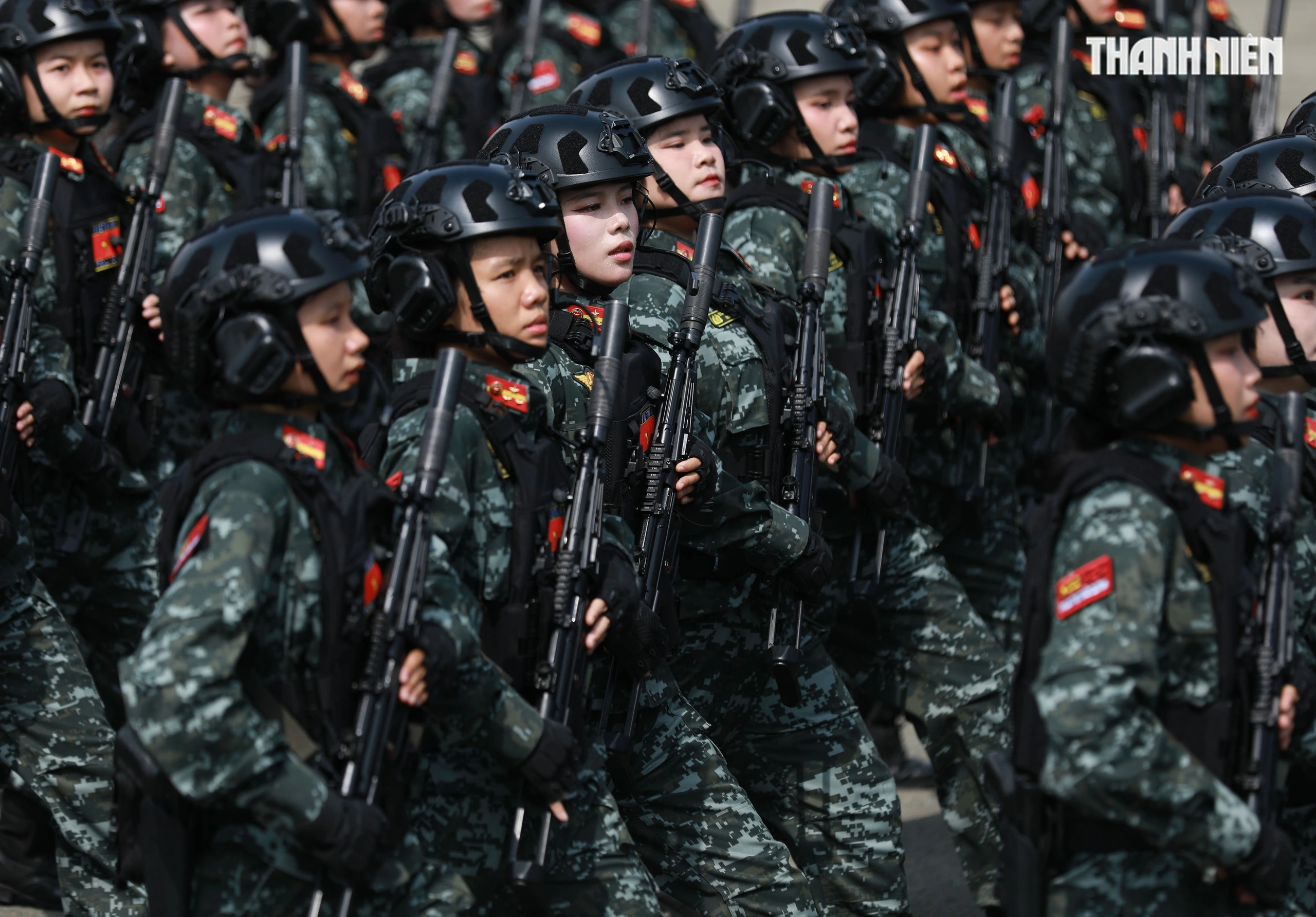
![[Photo] "Beauties" participate in the parade rehearsal at Bien Hoa airport](https://vstatic.vietnam.vn/vietnam/resource/IMAGE/2025/4/11/155502af3384431e918de0e2e585d13a)


![[Photo] Summary of parade practice in preparation for the April 30th celebration](https://vstatic.vietnam.vn/vietnam/resource/IMAGE/2025/4/11/78cfee0f2cc045b387ff1a4362b5950f)


Comment (0)