
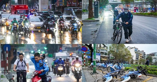
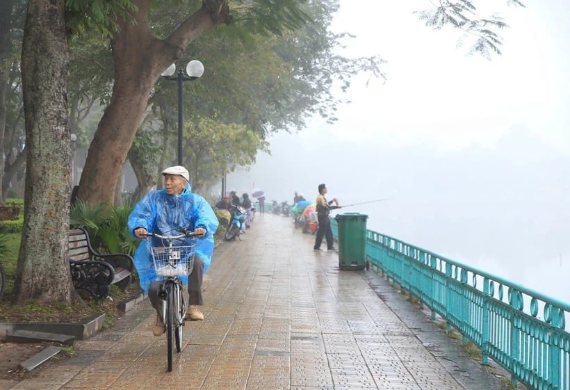
Northern region: sunny during the day, no rain at night. Northeast wind level 2. Cold in the early morning and at night, cold in mountainous areas. Lowest temperature 18-21 degrees Celsius. Highest temperature 29-32 degrees Celsius.

According to the National Center for Hydro-Meteorological Forecasting, at 1:00 a.m. on October 24, storm TRAMI (Tra Mi in Vietnamese) was centered at approximately 17.2 degrees North latitude; 122.4 degrees East longitude, on the mainland east of Luzon Island, Philippines. The strongest wind near the storm center was level 9-10 (75-102 km/h), gusting to level 12. The storm moved in a West-Northwest direction at a speed of 15-20 km/h.
From 1:00 a.m. on October 24 to 1:00 a.m. on October 27, the storm will move mainly in a westerly direction, traveling 10-15km per hour, then it may change direction to the southwest and move more slowly.
Due to the influence of the storm, the eastern sea area of the North East Sea has strong winds of level 6-7, near the storm's eye level 8-9 (62-88km/h), gusts of level 11, waves 3-5m high, near the storm's eye 5-7m; very rough seas.
During the day and night of October 24, the eastern sea area of the North East Sea will have storms and rain, the central and southern East Sea area (including the Truong Sa sea area), the sea area from Binh Thuan to Ca Mau, Ca Mau to Kien Giang and the Gulf of Thailand will have scattered showers and thunderstorms; in thunderstorms, there is a possibility of tornadoes and strong gusts of wind level 7-8.
Warning, on the day and night of October 25, in the North East Sea (including the sea area of Hoang Sa), strong winds of level 7-8, near the storm center level 9-10, gusts of level 12; waves 3-5m high, near the storm center 5-7m; very rough seas. The sea area north of the central East Sea has strong winds of level 6, sometimes level 7, gusts of level 8-9; rough seas; waves 3-5m high. The sea area from Quang Tri to Khanh Hoa has strong northwest winds of level 6, gusts of level 7-8; rough seas; waves 2-4.5m high. The level of risk of natural disasters due to strong winds at sea is level 2, especially in the East of the North East Sea area, level 3.
Weather forecast for regions day and night October 24:
In the Northwest, it is sunny during the day and rainless at night. Light wind. Cold in the early morning and at night. Lowest temperature 18-21 degrees Celsius. Highest temperature 29-32 degrees Celsius.
In the Northeast, it is sunny during the day and no rain at night. Northeast wind level 2. Early morning and night are cold, in mountainous areas it is cold. Lowest temperature 19-22 degrees Celsius. Highest temperature 29-32 degrees Celsius.
Hanoi capital is sunny during the day and rainless at night. Northeast wind level 2. Early morning and night are cold. Lowest temperature 20-22 degrees Celsius. Highest temperature 29-31 degrees Celsius.
Provinces from Thanh Hoa to Thua Thien-Hue have scattered showers and thunderstorms. North to Northwest wind level 2-3, coastal areas level 3-4. Lowest temperature 20-23 degrees Celsius. Highest temperature 28-31 degrees Celsius.
Provinces and cities from Da Nang to Binh Thuan have scattered showers and thunderstorms. Northeast to North wind level 2-3. Lowest temperature 21-24 degrees Celsius. Highest temperature 29-32 degrees Celsius.
Central Highlands has scattered showers and thunderstorms. Light wind. Lowest temperature 19-22 degrees Celsius. Highest temperature 27-30 degrees Celsius.
Southern region has scattered showers and thunderstorms. Light wind. Lowest temperature 23-26 degrees Celsius. Highest temperature 30-33 degrees Celsius.
Source vtv.vn
Source: https://baophutho.vn/thoi-tiet-ngay-24-10-bac-bo-co-gio-dong-bac-cap-2-nhiet-do-thap-nhat-18-do-c-221398.htm
![[Photo] Third meeting of the Organizing Subcommittee serving the 14th National Party Congress](https://vstatic.vietnam.vn/vietnam/resource/IMAGE/2025/4/2/3f342a185e714df58aad8c0fc08e4af2)


![[Photo] Close-up of Vietnam's sniffer dog team searching for earthquake victims in Myanmar](https://vstatic.vietnam.vn/vietnam/resource/IMAGE/2025/4/1/d4949a0510ba40af93a15359b5450df2)
![[Photo] Relatives of victims of the earthquake in Myanmar were moved and grateful to the rescue team of the Vietnamese Ministry of National Defense.](https://vstatic.vietnam.vn/vietnam/resource/IMAGE/2025/4/2/aa6a37e9b59543dfb0ddc7f44162a7a7)


Comment (0)