
How many people have wandered through the 36 streets that are connected together in a tangle, winding like a chessboard? And how many people who come to the capital do not visit the streets of the imperial land, even though now every street is different from the past?
 Even after a thousand years or even a thousand years from now, Hanoi's 36 streets will still be associated with the development history of the thousand-year-old capital.
 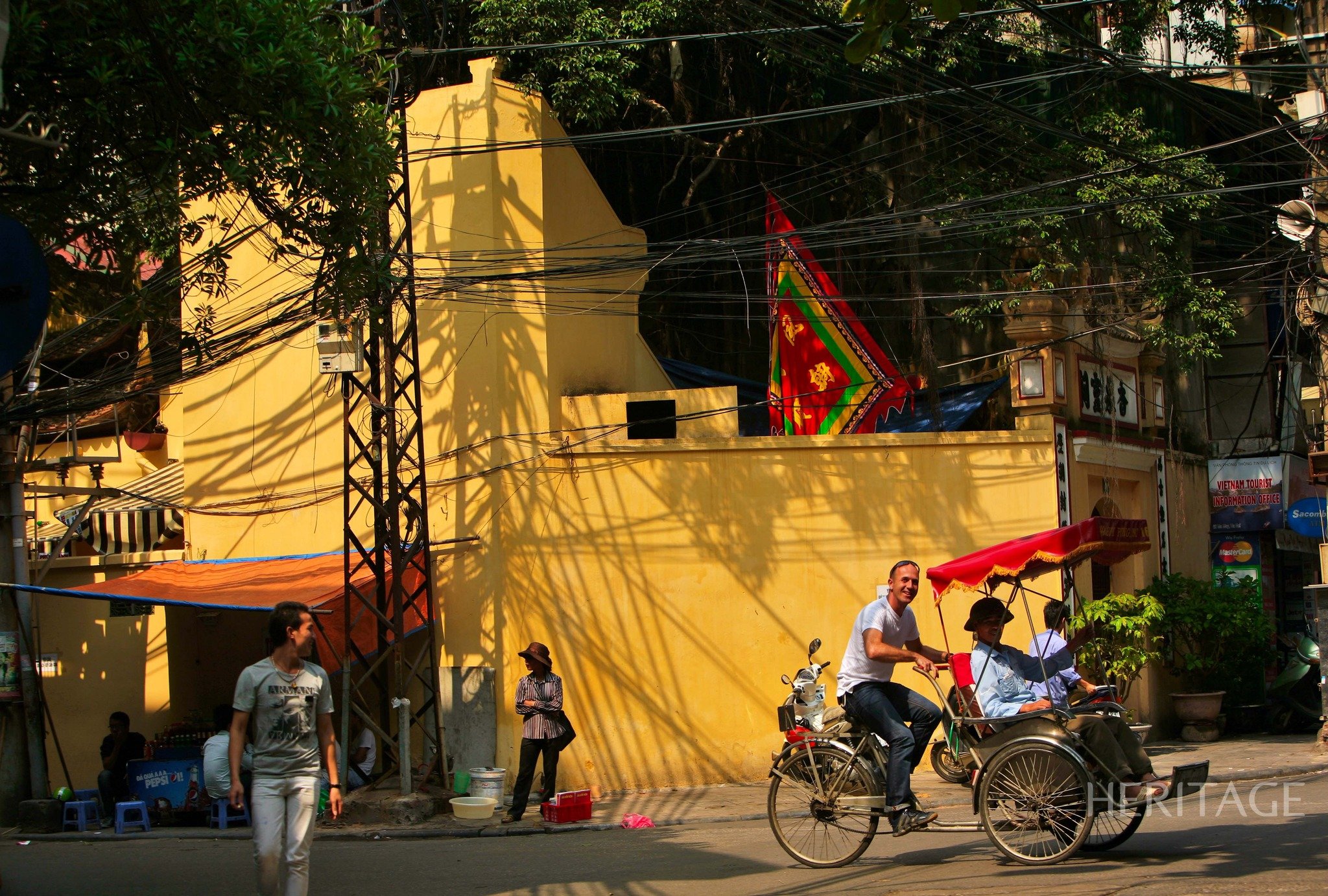 There is still the bustling street trading scene, just like the meaning of their name from the old days.
 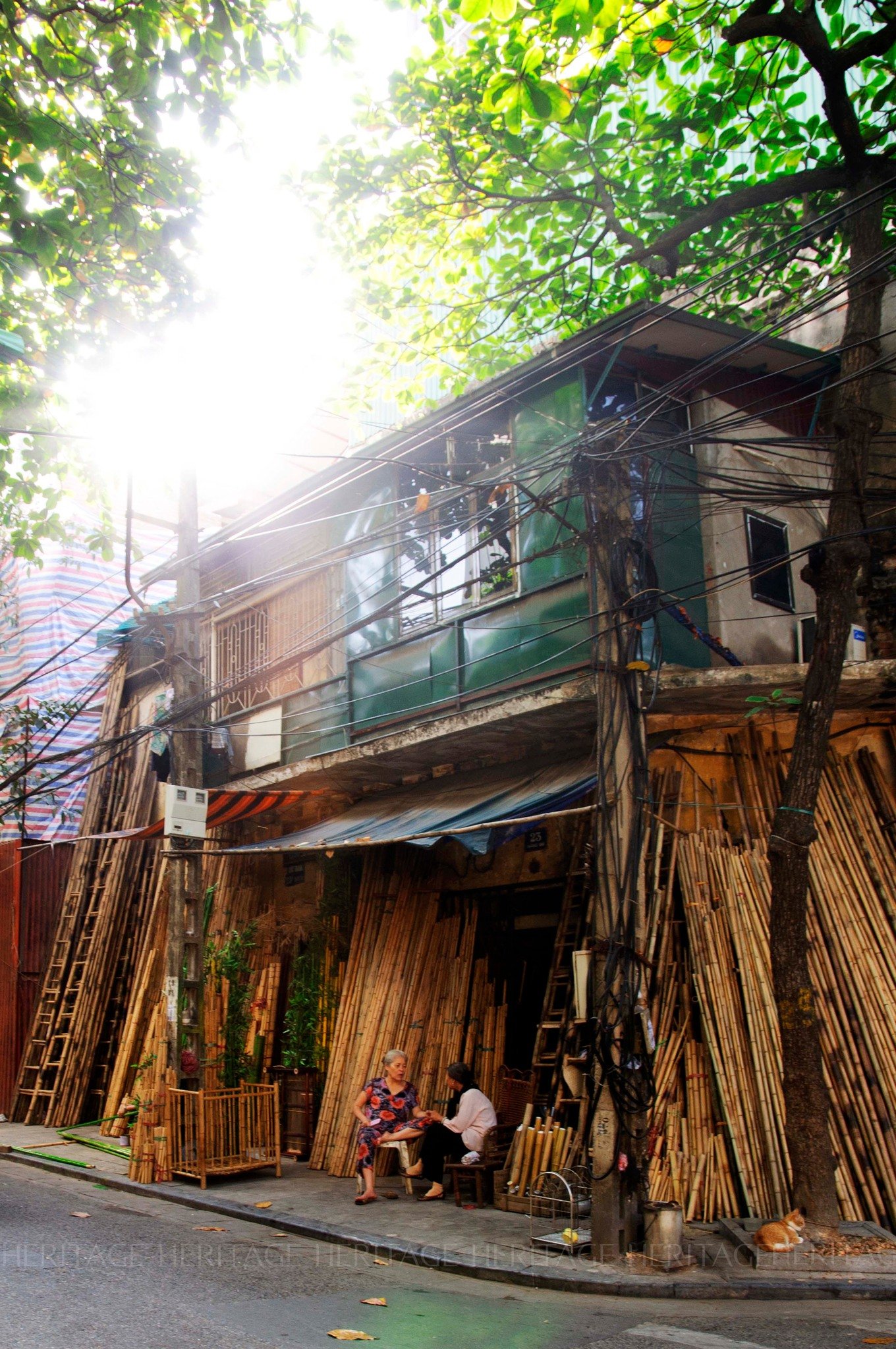 Hanoi has many street names that start with the word "Hang". Next is a word that indicates a certain occupation such as Hang Tre, Hang Bac, Hang Thiec, Hang Ma, Hang Chieu...
 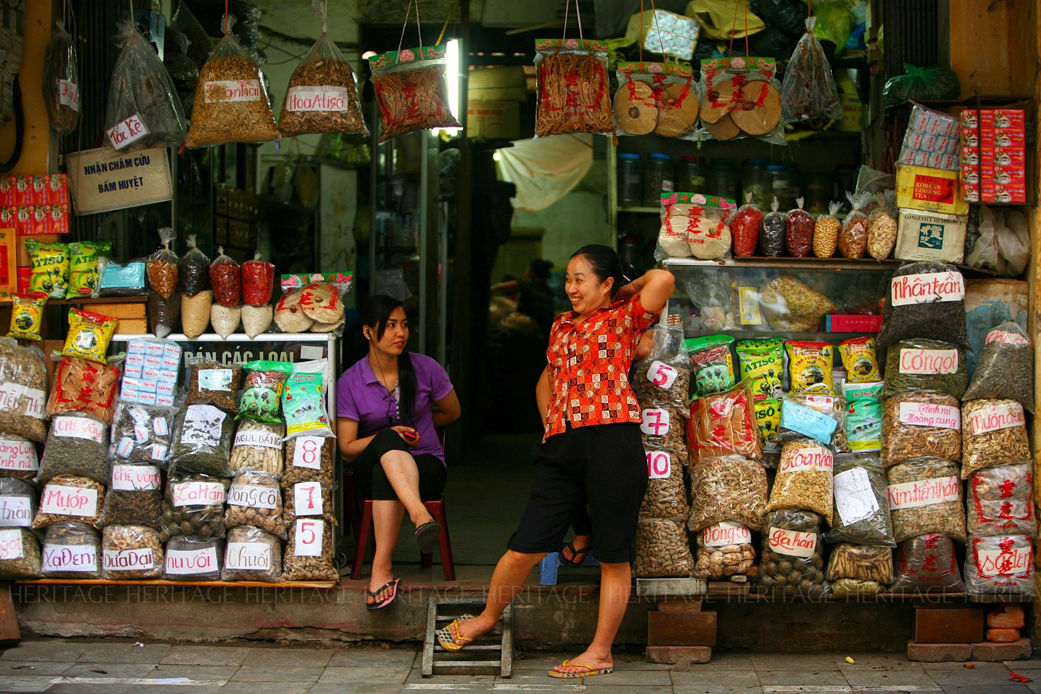 Historical records show that when the Ly Dynasty moved the capital from Hoa Lu to Thang Long, Hanoi did not have any streets. There were only villages, and the change from village to city was very rapid.
 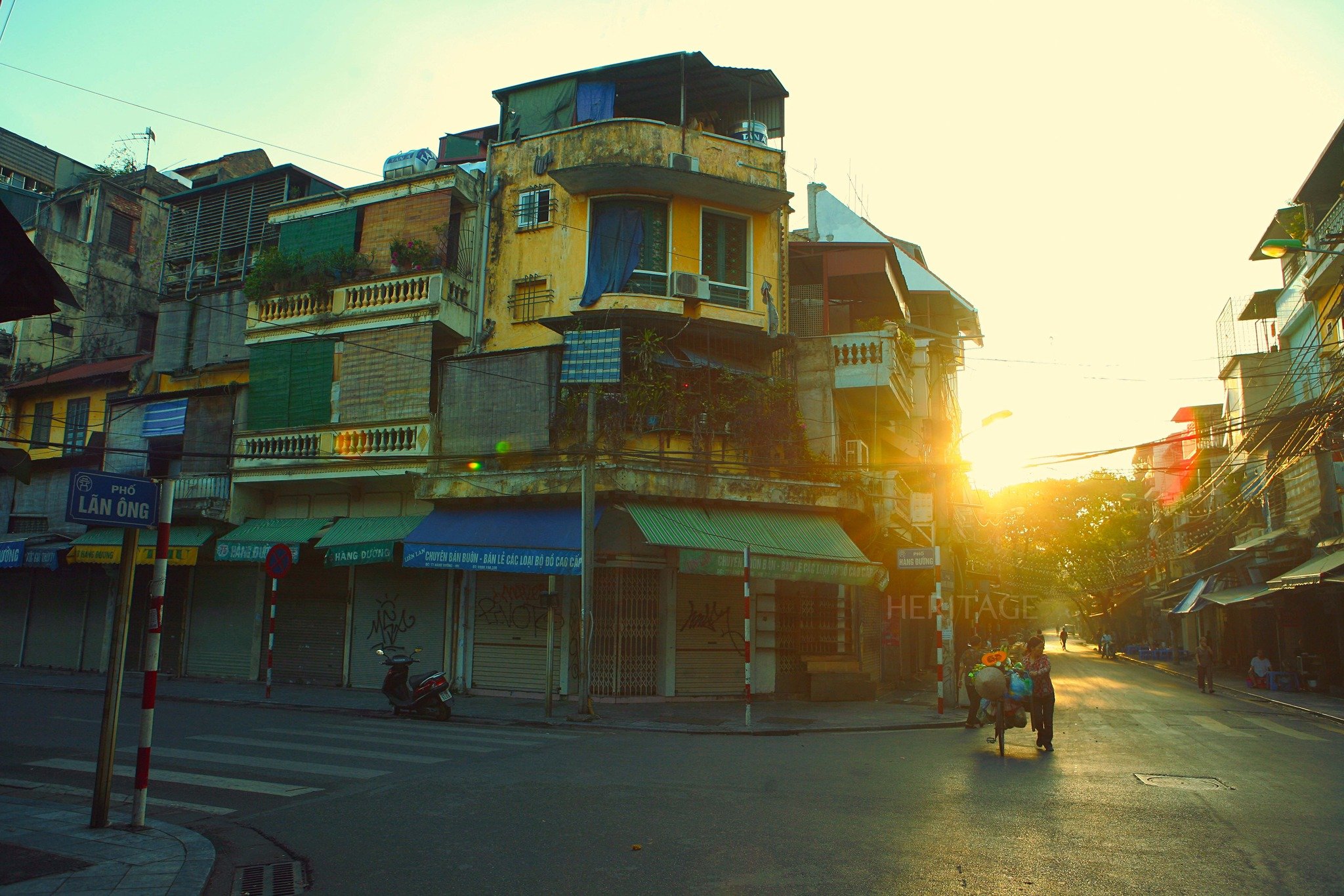 During the first urbanization, Hanoi became the capital. Therefore, around Thang Long, there were many craft villages such as in Son Tay, Thuong Tin, Phu Xuyen, Trach Xa, Hung Yen, Hai Duong...
 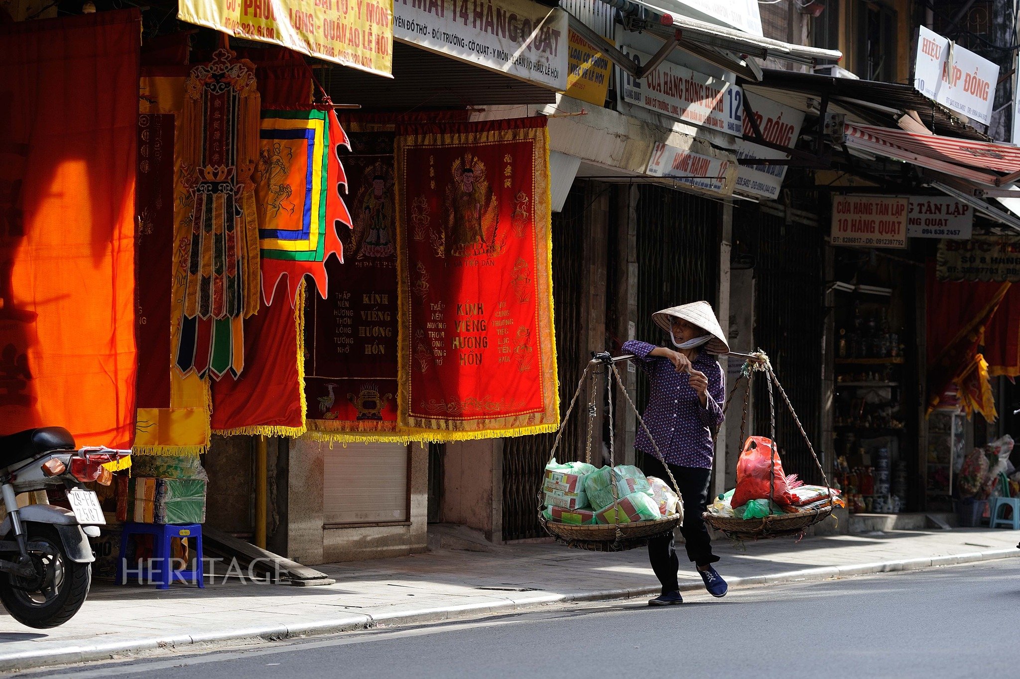 They were people from the same village, same family, and traded in different goods. On the map of old Hanoi from the 1770s of the 18th century, in the 9th year of Gia Long (1810), we still see the Red River flowing into Hoan Kiem Lake.
  The lake is a dead end of the river. Just like in the old days, the To Lich River flows into the Red River, connects to West Lake, connects to the Thien Phu River, then flows downstream to the Nhue River. In the old days, the Red River was still red with alluvium, while the To River was clear and blue, with boats going up and down.
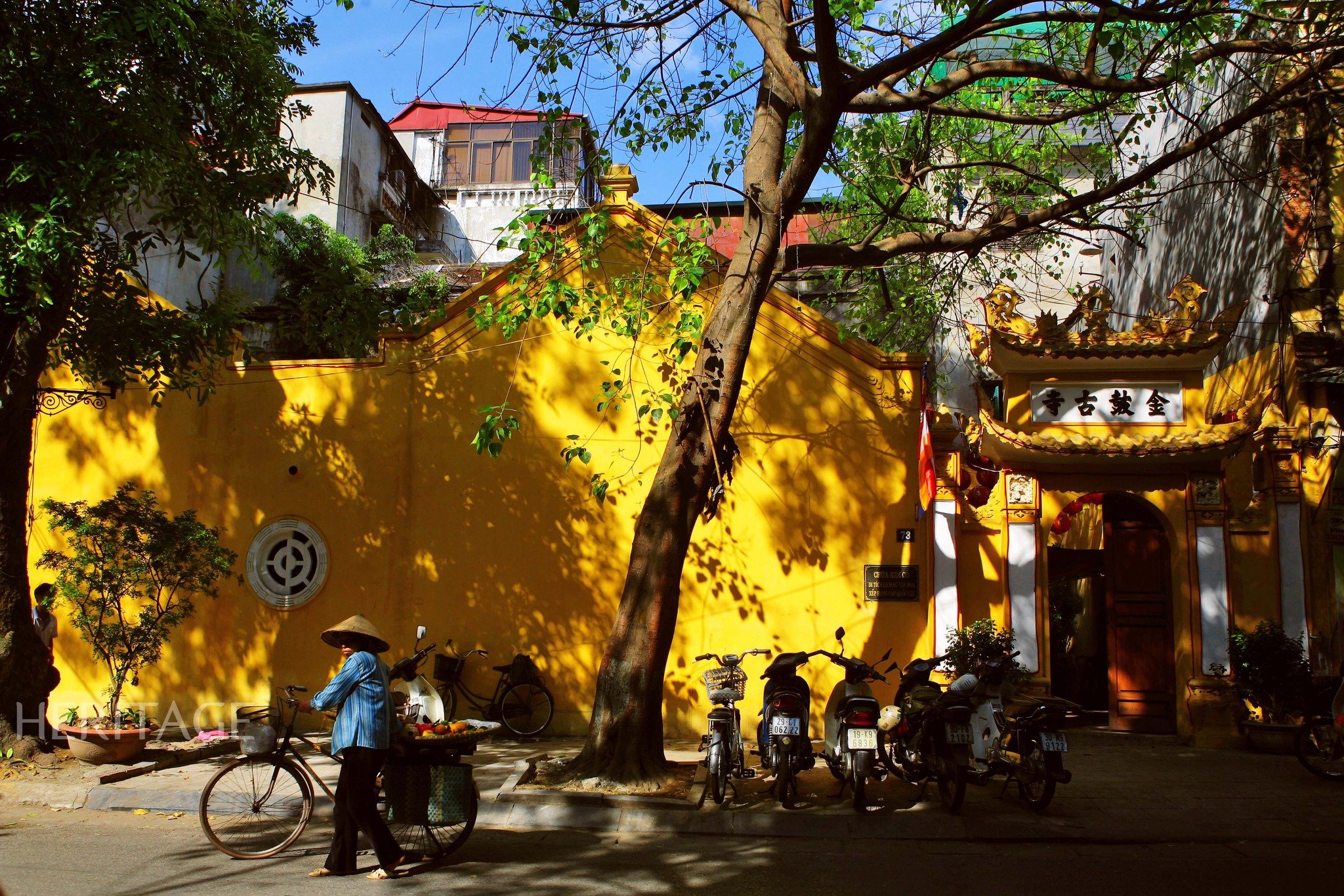
 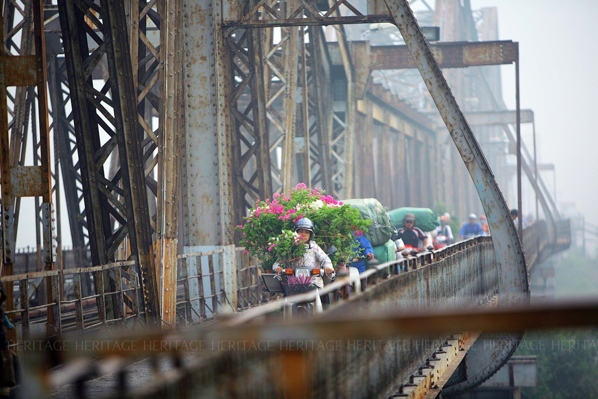 Merchant ships could enter the middle of the street to trade, making the craft streets more developed. For example, the ancient Ma May street consisted of two streets: Hang Ma street and Hang May street. The Hang May street section was adjacent to Hang Buom street, on the bank of Nhi river, where upstream boats carrying forest products such as rattan, bamboo, etc. gathered.
Heritage Magazine


![[Photo] Visiting Cu Chi Tunnels - a heroic underground feat](https://vstatic.vietnam.vn/vietnam/resource/IMAGE/2025/4/8/06cb489403514b878768dd7262daba0b)


Comment (0)