According to the recently revised plan, Hanoi will build a second airport in the south, integrated with an airport city model, international logistics services, and a crucial transportation hub.
The urban development structure comprises 5 zones.
Deputy Prime Minister Tran Hong Ha has just signed Decision No. 1668/QD-TTg of the Prime Minister approving the adjustment of the General Planning of Hanoi Capital City until 2045, with a vision to 2065.

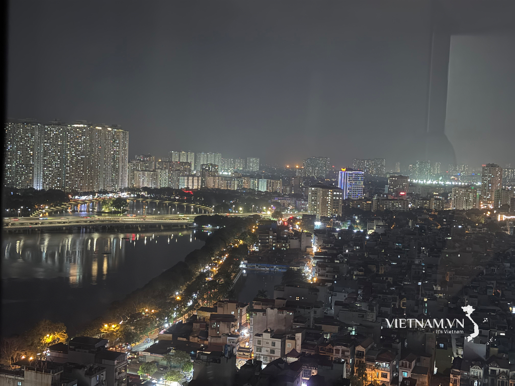
Hanoi will build a second airport in the South, as part of an airport city model. (Illustrative image)
The population growth forecast for 2030 projects a population of 12 million people (of which approximately 10.5 million are permanent residents); the urbanization rate is expected to reach 65-70%. By 2045, the population is projected to reach 14.6 million people (of which approximately 13 million are permanent residents); the urbanization rate is expected to exceed 75%.
Regarding land use, by 2030, the construction land area will be approximately 148,000 - 150,000 hectares, of which urban construction land will be about 89,000 - 90,000 hectares (accounting for 26 - 27% of the total city area), and rural construction land will be about 59,000 - 60,000 hectares.
The plan defines the urban development structure as a multi-polar, multi-centered urban area, with 5 urban zones including: The urban zone south of the Red River, comprising the historical inner city, the expanded historical inner city, and the urban expansion area to the west and south - Dan Phuong, Hoai Duc, Ha Dong, Thanh Tri and parts of Thanh Oai and Thuong Tin.
The Eastern urban area includes Long Bien district and Gia Lam district; the Northern urban area includes Dong Anh, Me Linh, and Soc Son districts (with the planned formation of a Northern city).
The Western urban area includes Son Tay town and the districts of Ba Vi, Phuc Tho, Quoc Oai, Thach That, and Chuong My, with the planned future formation of a Western city and the upgrading of Son Tay city to a higher urban status.
The Southern urban area includes the districts of Thanh Oai, My Duc, Ung Hoa, Thuong Tin, and Phu Xuyen, with consideration given to the study of a future Southern city.
The satellite and ecological urban systems are separated by green corridors and green wedges, and linked by a system of ring and radial transportation routes.
The planning implementation is divided into phases: 2025-2030; 2030-2035; 2035-2045; 2045-2050 and a vision to 2065.
Implementing a comprehensive urban railway system.
Accordingly, the period from 2025 to 2030 will see the completion of the legal framework and unified planning layers to create a foundation for planned development.
Complete the construction of the framework infrastructure network including the Ring Road 4, Ring Road 5, and Ring Road 4.5 (North-South axis); upgrade the radial routes connecting the region. Develop and complete the expansion of urban areas in the West (Ha Dong, Hoai Duc, Dan Phuong, Thuong Tin) according to the TOD model and the Hoa Lac urban area.

The synchronized development of the urban railway system is one of the contents mentioned in the revised Master Plan for Hanoi until 2045.
Implement a comprehensive urban railway system, renovate the inner-city river and lake system, and renovate, upgrade, and reconstruct old urban areas.
The period from 2030-2035 will see the complete development of the urban chain north of the Red River (Gia Lam, Long Bien, Dong Anh, Me Linh) with synchronous, modern, and smart urban infrastructure, linked to modern public transportation, creating new development centers for the capital. The development will also include the formation of the Red River axis and bridges across the Red River, creating a landmark and symbol of Hanoi.
The period from 2035 to 2045 will see the development, expansion, and completion of satellite cities such as Son Tay and Phu Xuyen to form gateway cities, attracting new development needs to Hanoi.
Connecting with the regional urban network creates a unified development space. Expanding the public transportation network to satellite cities and neighboring localities connects this development space.
The plan involves building a second airport in the South, integrated with the airport city model, international logistics services, and a crucial transportation hub.
The period 2045-2050 and the vision to 2065 aims for the complete development of urban spaces, harmoniously combining urban and rural areas, new development with urban renovation and upgrading, creating cities with unique identities, ecological features, and modern infrastructure.
Source: https://www.baogiaothong.vn/ha-noi-se-xay-san-bay-thu-2-o-phia-nam-192241231190152626.htm


Comment (0)