
Weather forecast for January 4, 2025: Northern and North Central regions will have sunny days, no rain at night, and cold weather. Southern regions will have showers and thunderstorms; coastal areas from Ba Ria - Vung Tau to Ca Mau are at risk of flooding due to high tides.
According to the National Center for Hydro-Meteorological Forecasting, the weather trend from now until January 5 is as follows:
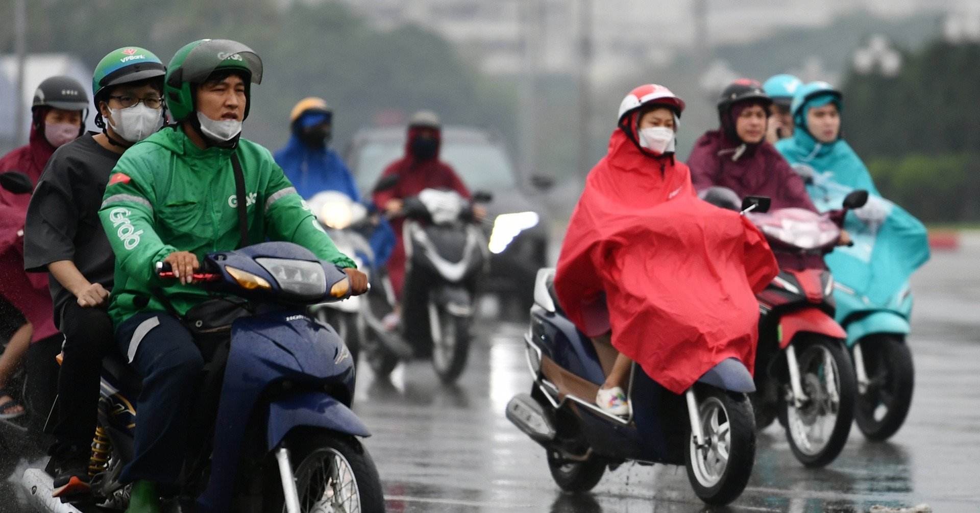
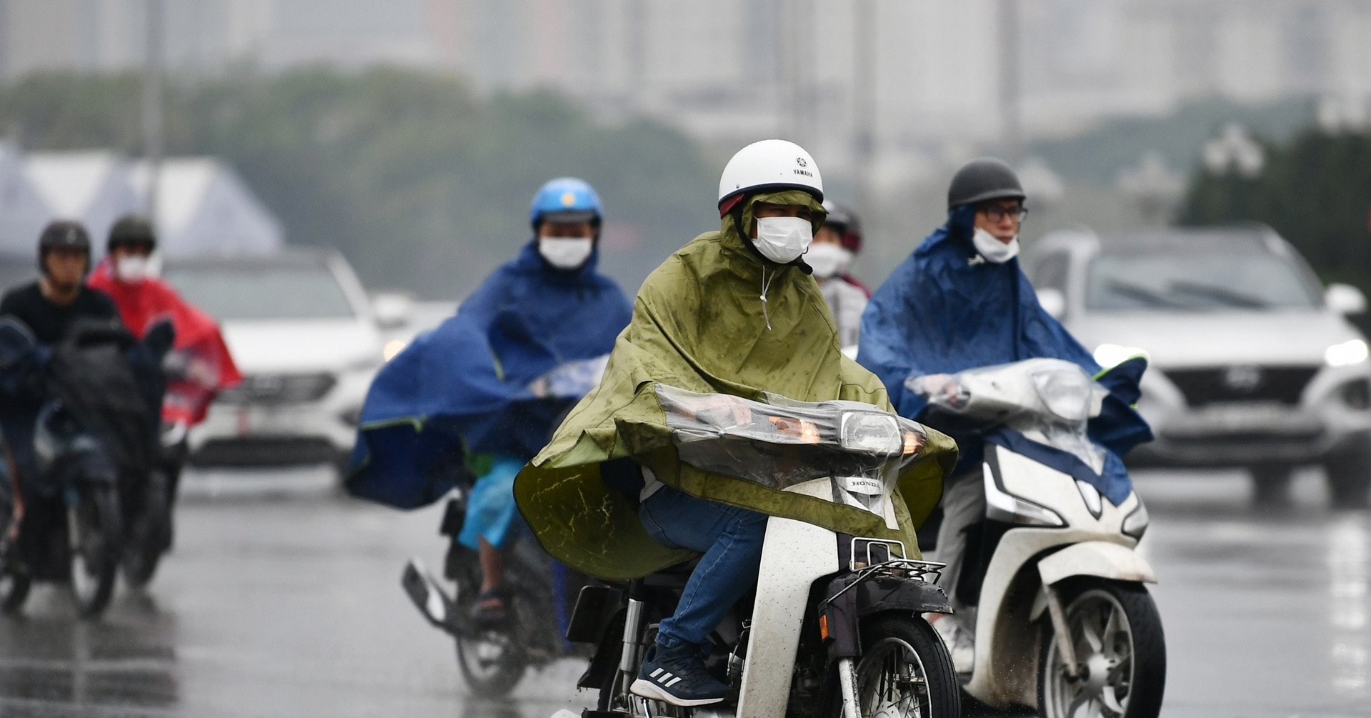
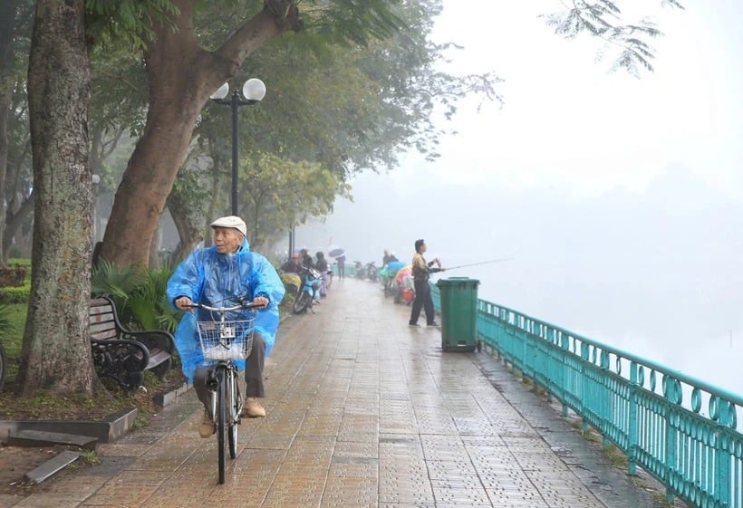
Northern and North Central regions have sunny days, no rain at night, early morning fog and scattered light fog. Cold mornings and nights.
The Central Central region has some rain, cold in the morning and at night. Other areas have some showers and thunderstorms.
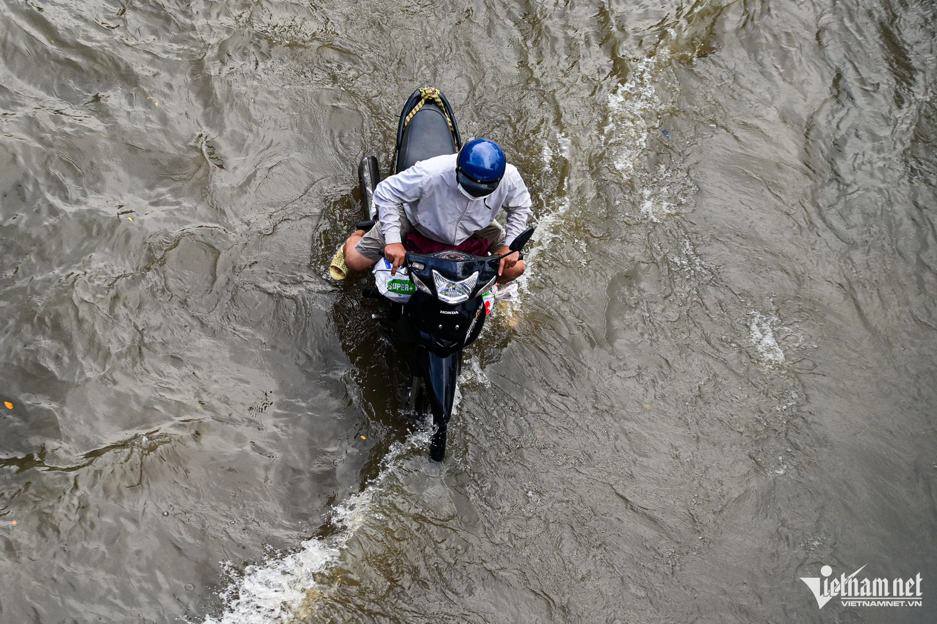
In particular, at present, the tide level in the eastern coast of the South is at a high level. It is forecasted that the coastal provinces from Ba Ria - Vung Tau to Ca Mau will have a high water level of 390 - 400cm, appearing around 0:00 - 3:00 and 16:00 - 19:00 every day.
The meteorological agency warns that low-lying coastal areas, riverside areas, and areas outside the dikes in the Southeast region are at risk of flooding in the late afternoon and night.
Weather at sea, low pressure trough with axis at about 5-8 degrees North latitude connecting with low pressure area at 1am today is located at about 5.5-6.5 degrees North latitude; 111.5-112.5 degrees East longitude.
At Phu Quy station, there were gusts of level 8; at Huyen Tran station, there were strong winds of level 6, sometimes level 7, gusts of level 8.
The East of the North East Sea is forecast to have strong winds of level 6-7, gusting to level 8-9. Rough seas. Waves 3-5.5m high.
The sea area from Quang Ngai to Binh Thuan, the west of the North East Sea, the west of the Central and South East Sea (including the sea area west of Truong Sa archipelago) has strong winds of level 6, sometimes level 7, gusting to level 8-9. The sea is rough. Waves are 3-5.5m high.
The sea area from Ba Ria - Vung Tau to Ca Mau has wind level 6, gusting to level 7-8. Rough sea. Waves 3-5m high.
The Central and Southern East Sea (including the Spratly Islands) will have scattered showers and thunderstorms. There is a possibility of tornadoes and strong gusts of wind during thunderstorms.
Weather forecast for January 4, 2025 in regions across the country:
Hanoi
Cloudy, early morning fog and light fog scattered, sunny day, no rain at night. Light wind. Cold morning and night.
Lowest temperature: 13-15 degrees.
Highest temperature: 23-25 degrees.
Northwest
Cloudy, early morning fog and light fog scattered, sunny day, no rain at night. Light wind. Cold morning and night.
Lowest temperature: 12-15 degrees, some places below 11 degrees; Northwest region 10-13 degrees, some places below 9 degrees.
Highest temperature: 22-25 degrees, some places above 25 degrees.
Northeast
Cloudy, early morning fog and light fog scattered, sunny day, no rain at night. Light wind. Cold morning and night.
Lowest temperature: 12-15 degrees, mountainous areas below 11 degrees.
Highest temperature: 23-26 degrees.
Thanh Hoa – Thua Thien Hue
North cloudy, early morning fog and scattered light fog, sunny day, no rain at night; South cloudy, some rain, night rain, scattered showers. North to northwest wind level 2-3. Cold morning and night.
Lowest temperature: 14-17 degrees.
Highest temperature: 21-24 degrees, some places above 24 degrees.
Da Nang – Binh Thuan
Cloudy, scattered showers and thunderstorms in some places; in the North, cloudy, with rain at night, scattered showers and thunderstorms in some places. Northeast wind level 3-4, coastal areas may have strong gusts above level 6. During thunderstorms, there is a possibility of tornadoes, lightning and strong gusts of wind.
Lowest temperature: North 18-21 degrees, South 22-24 degrees.
Highest temperature: North 24-26 degrees; South 27-30 degrees.
Central Highlands
Cloudy with scattered showers and thunderstorms. Northeast wind level 2-3.
Lowest temperature: 14-17 degrees.
Highest temperature: 25-28 degrees.
Southern Vietnam
Cloudy with scattered showers and thunderstorms. Northeast wind level 2-3.
Lowest temperature: 23-26 degrees.
Highest temperature: 30-33 degrees.
![[Photo] Prime Minister Pham Minh Chinh receives Deputy Prime Minister of the Republic of Belarus Anatoly Sivak](https://vstatic.vietnam.vn/vietnam/resource/IMAGE/2025/4/2/79cdb685820a45868602e2fa576977a0)
![[Photo] Moment of love: Myanmar people are moved to thank Vietnamese soldiers](https://vstatic.vietnam.vn/vietnam/resource/IMAGE/2025/4/3/9b2e07196eb14aa5aacb1bc9e067ae6f)
![[Photo] Special relics at the Vietnam Military History Museum associated with the heroic April 30th](https://vstatic.vietnam.vn/vietnam/resource/IMAGE/2025/4/3/a49d65b17b804e398de42bc2caba8368)
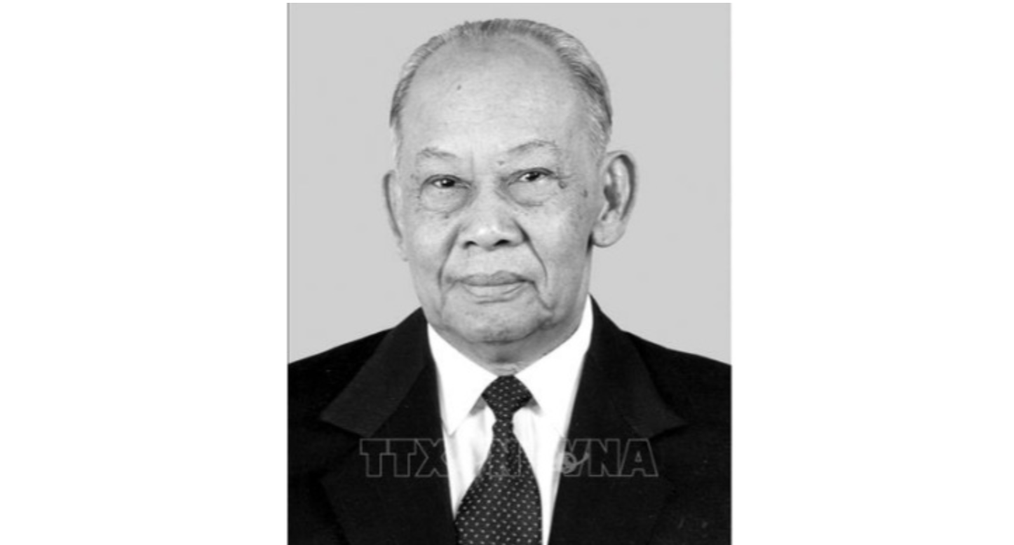
![[Photo] Comrade Khamtay Siphandone - a leader who contributed to fostering Vietnam-Laos relations](https://vstatic.vietnam.vn/vietnam/resource/IMAGE/2025/4/3/3d83ed2d26e2426fabd41862661dfff2)


Comment (0)