
(Dan Tri) – The forest on Cat Ba Island (Hai Phong) was severely damaged, with dead trees turning into bare branches, covering the entire 20km long road across the island in white.
Across Cat Ba National Park, witnessing the severe devastation of the forest due to storm Yagi (Video: Huu Nghi).

Cat Ba National Park (Cat Hai, Hai Phong City) has a natural area of 17,362 hectares, of which 10,912 hectares are mountainous forests. This is a world biosphere reserve that is considered extremely diverse. When super typhoon Yagi swept through in September, Cat Ba Island was severely damaged, including the forest trees.

Ang Rang area is located on the Environmental Education - Ecotourism route of the core zone of Cat Ba National Park and is one of the areas most severely damaged in terms of ecology and environment.


Before and after images of storm Yagi on a section of the cross-island route through the core area of Cat Ba National Park.

Authorities estimate that it will take 3-5 years or even longer for the forest in Cat Ba to recover to its original state.

According to regulations, trees that fall in the forest for any reason cannot be transported out and must be kept in their natural state. Forest rangers are only allowed to saw, cut, or clear trees that affect traffic or block patrol routes.

The fallen trees scattered in the forest area are the most attractive destination of the National Park, also known as the "Environmental Education - Ecotourism Route".

Cat Ba National Park has many precious trees, large trees that are decades old. After storm Yagi, it will take about 6 months to 1 year for the forest to restore its green color, and it will take 3-5 years or longer for large trees to recover.
Photo of the route through the dense tropical rainforest.

The ecosystem in Cat Ba National Park includes 282 species of plants, and nearly 800 species of animals living in the forest and under the sea. Here, there are still many archaeological relics proving that humans have been here for thousands of years.

The 21km cross-island route to Cat Ba starts from Cai Vieng ferry terminal (Phu Long commune), winding along the coast into the town center, then through the national park.

Yellow is the route across Cat Ba island shown on Google Maps.

This is a submerged tropical karst terrain area, with a unique landscape similar to Ha Long Bay (Quang Ninh). The islands are single or clustered karst peaks or towers, with steep cliffs. On Cat Ba Island, there are many beautiful caves and karst valleys such as Trung Trang, Hung Son, Gia Luan, Tai Lai, etc.

The road appears and disappears under the limestone peaks in the sunset.

The forest is gradually recovering its green color, but thousands of dead tree trunks are still visible like bruises along the route.

The route includes 2 main routes: The first route is route 356, about 12km long, running along the east coast of Cat Ba island, passing famous places such as: Cat Co 1 beach, Cat Co 2 beach, Cat Ba National Park, Cannon Fort...
The second route is Highway 156, about 8km long, running along the west coast of Cat Ba Island, passing famous places such as: Cat Dua 2 Beach, Cat Dua 3 Beach, Mit Beach, Kim Dau Beach...

Image shows terrain on the route through Cat Ba National Park.

Tourists especially enjoy the experience of exploring by walking or riding a motorbike through the forest.

The road appears and disappears in the green of the trees.
Dantri.com.vn
Source: https://dantri.com.vn/xa-hoi/xuyen-vuon-quoc-gia-cat-ba-chung-kien-rung-bi-tan-pha-nang-ne-vi-bao-yagi-20241127192953672.htm
![[Photo] Prime Minister Pham Minh Chinh receives Chairman of Skoda Auto Group](https://vstatic.vietnam.vn/vietnam/resource/IMAGE/2025/3/27/298bbec539e346d99329a8c63edd31e5)


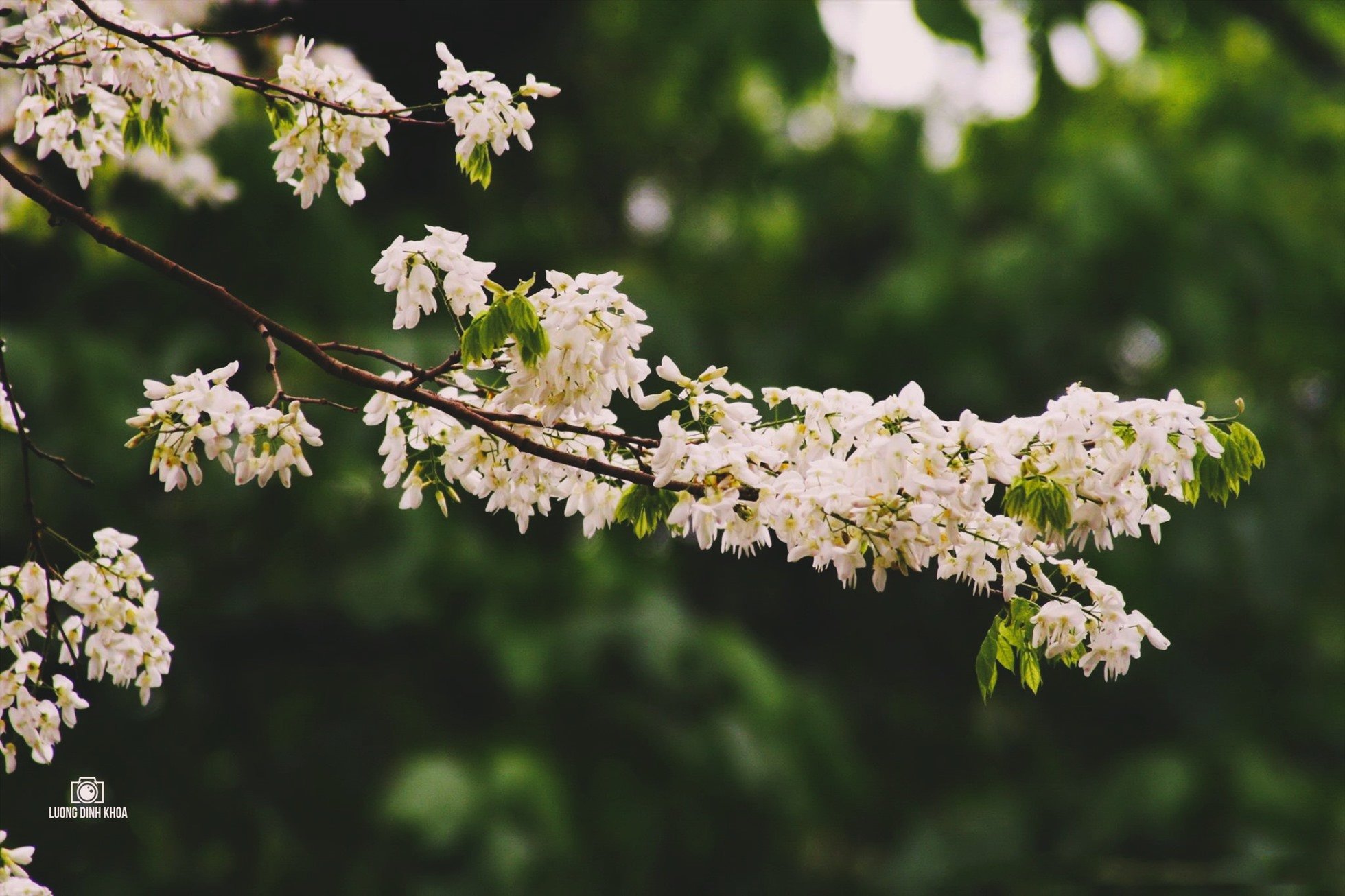

![[Photo] Admiring orange cotton flowers on the first "Vietnam heritage tree" in Quang Binh](https://vstatic.vietnam.vn/vietnam/resource/IMAGE/2025/3/28/7476a484f3394c328be4ac8f9c86278f)


Comment (0)